Elevation of Cherrapunjee, Meghalaya, India
Location: India > Meghalaya > East Khasi Hills >
Longitude: 91.7308033
Latitude: 25.2716565
Elevation: 1314m / 4311feet
Barometric Pressure: 86KPa
Elevation Map:
Satellite Map:
Related Photos:
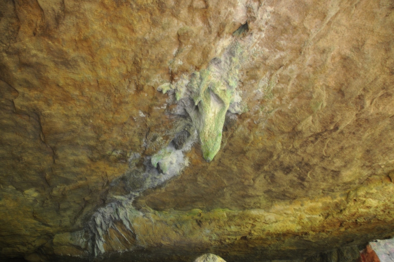
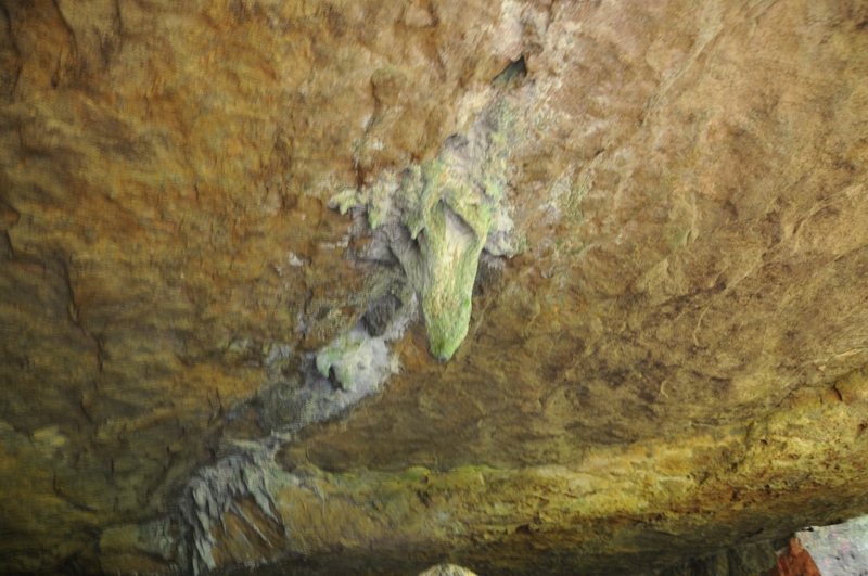
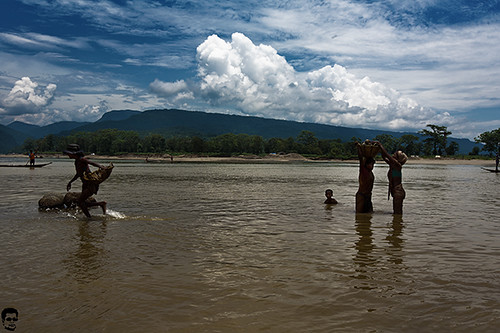
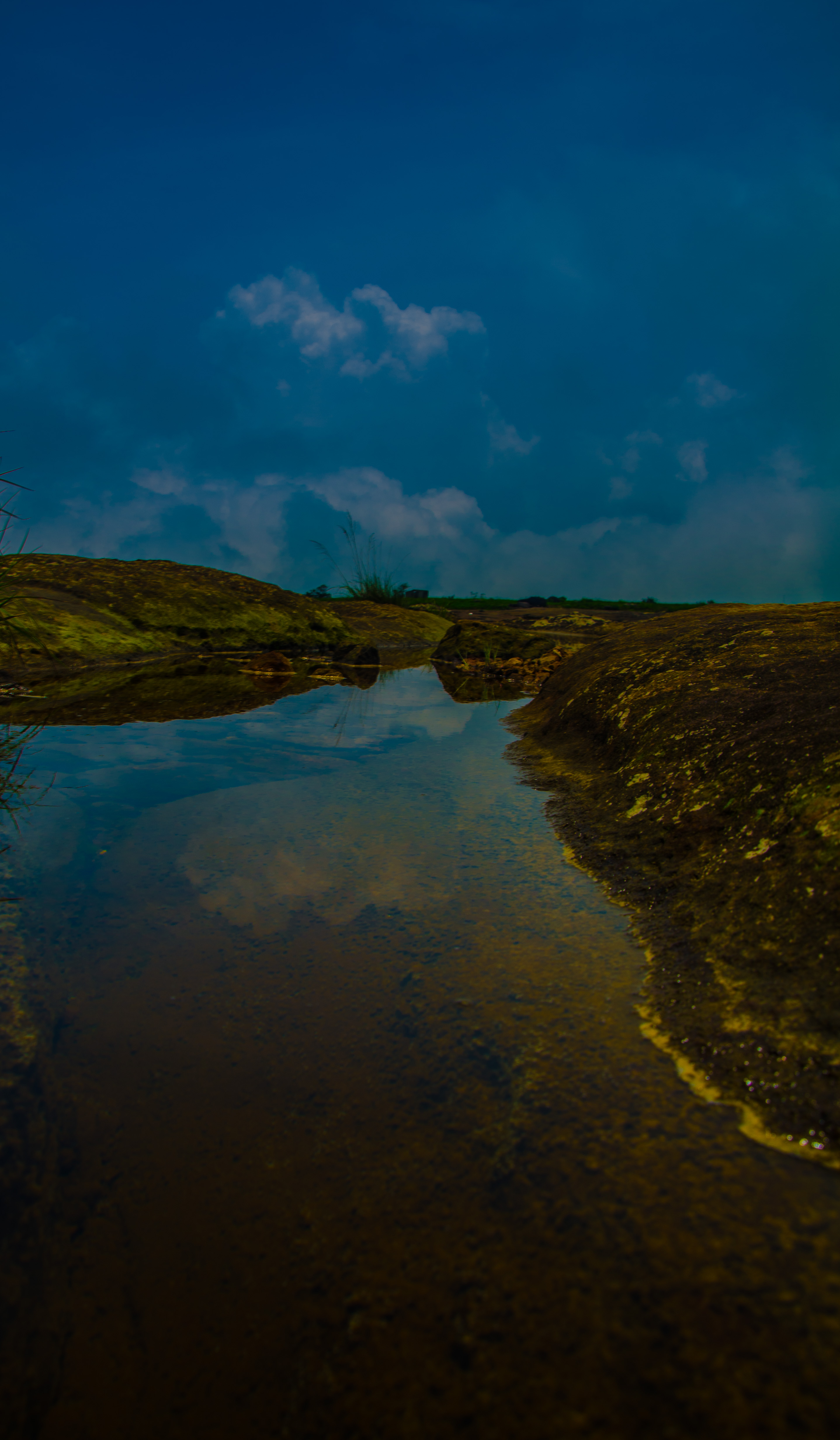
Dongshiling, Meghalaya
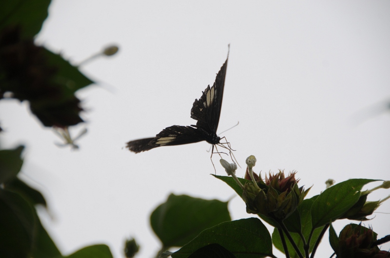
Cherrapunjee, Meghalaya
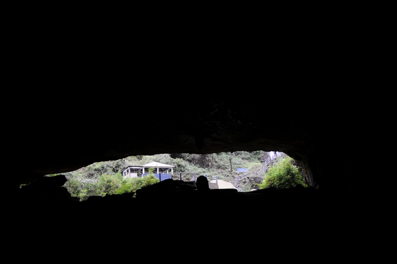
Dongshiling, Meghalaya
Dympep Velly View Point

CSP_4325.JPG

Dongshiling, Meghalaya
Dongshiling, Meghalaya

CSP_4315.JPG

CSP_4232.JPG
Kutmadan Village (Cherrapunjee)

CSP_4243.JPG

CSP_4218.JPG

CSP_4254.JPG

CSP_4220.JPG
Dongshiling, Meghalaya

CSP_4251.JPG

CSP_4307.JPG

CSP_4214.JPG
Dongshiling, Meghalaya

CSP_4256.JPG

CSP_4236.JPG
Heterogeneous Responsibilities
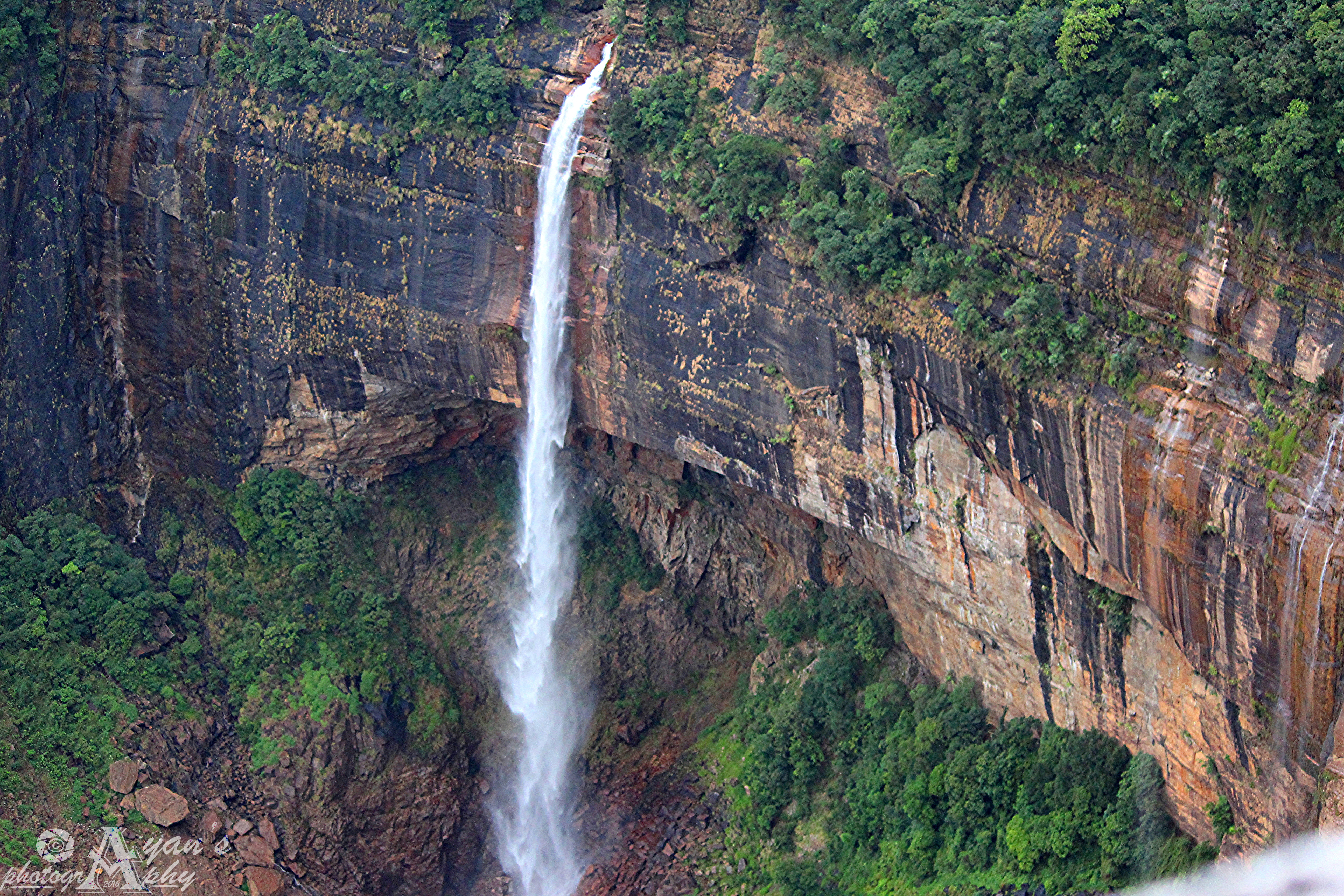
The tallest waterfall in India
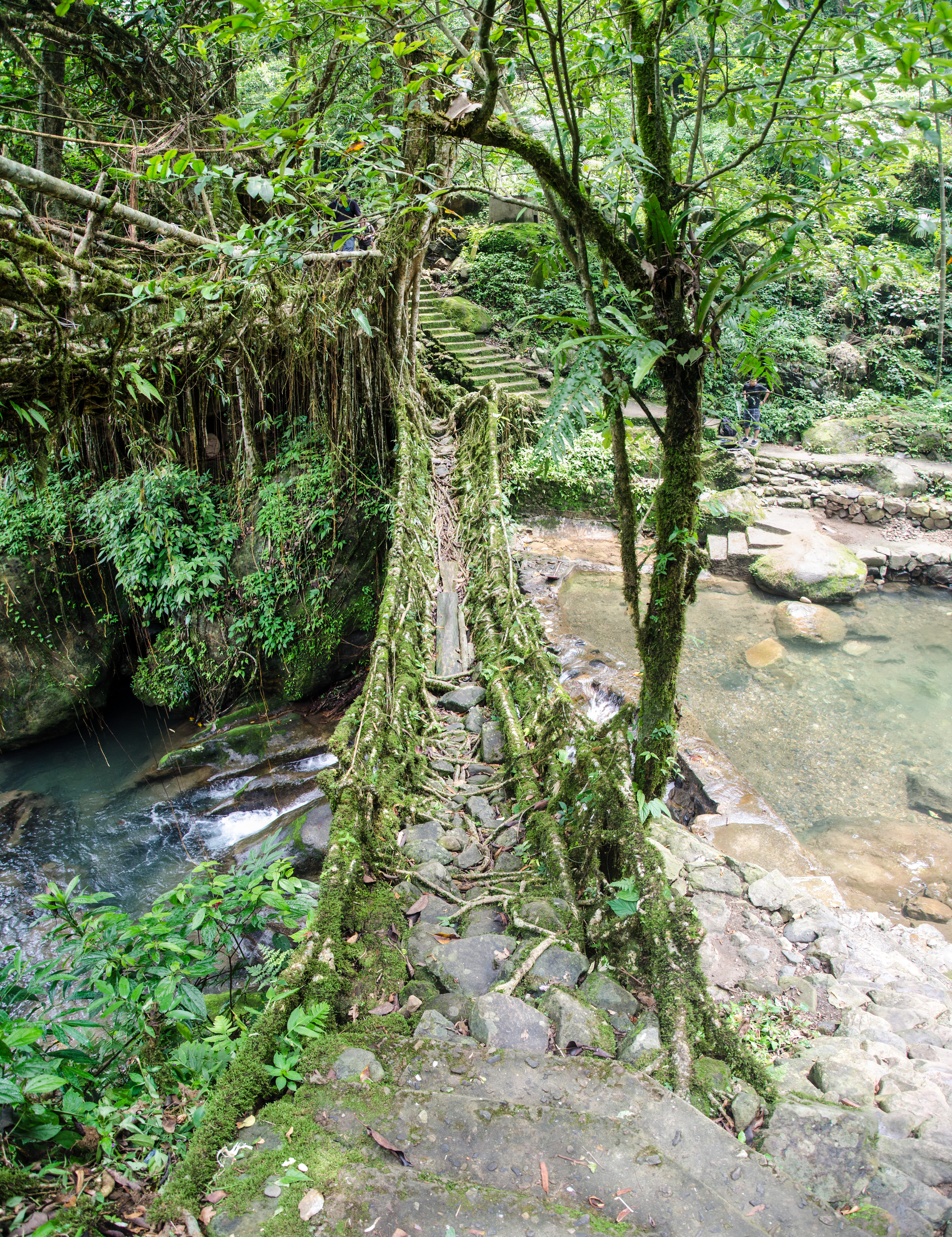
Double Decker Living Root Bridge
Dain Thlen, Cherrapjunee
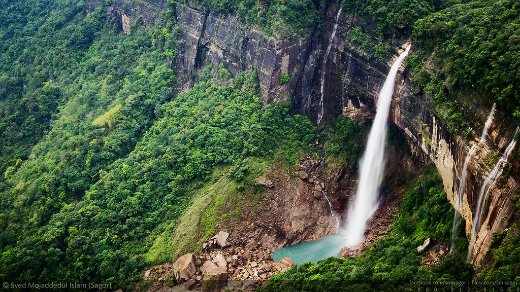
Nohkalikai Falls - The tallest plunge waterfall in India - 1
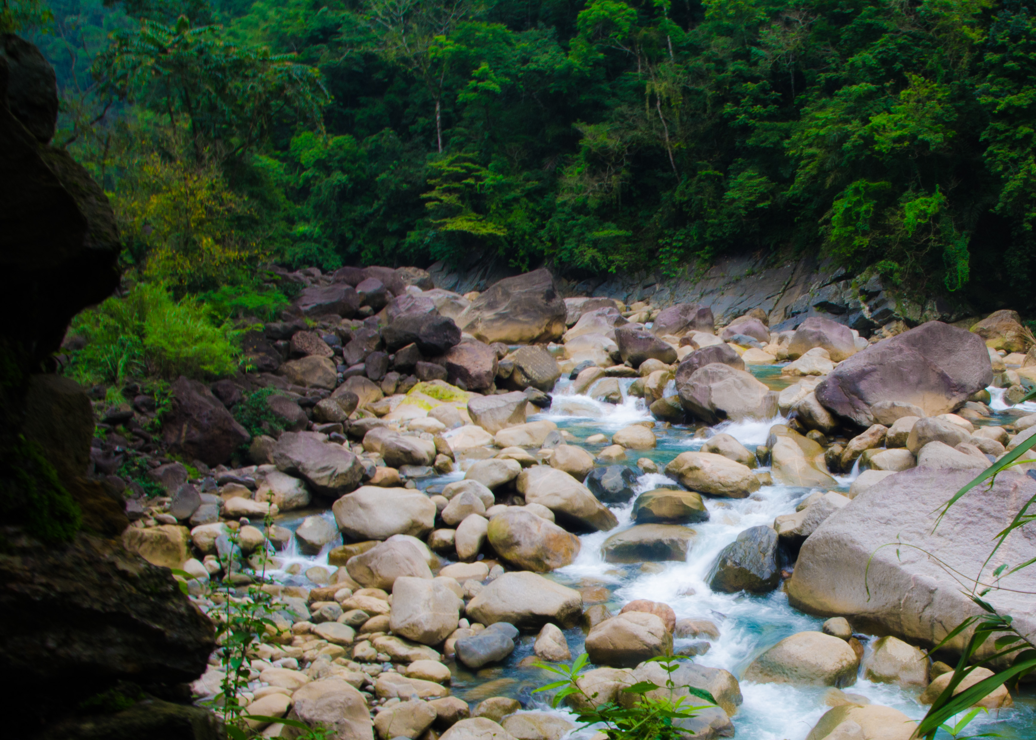
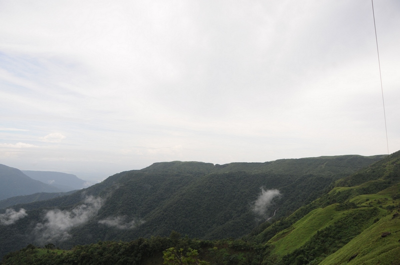
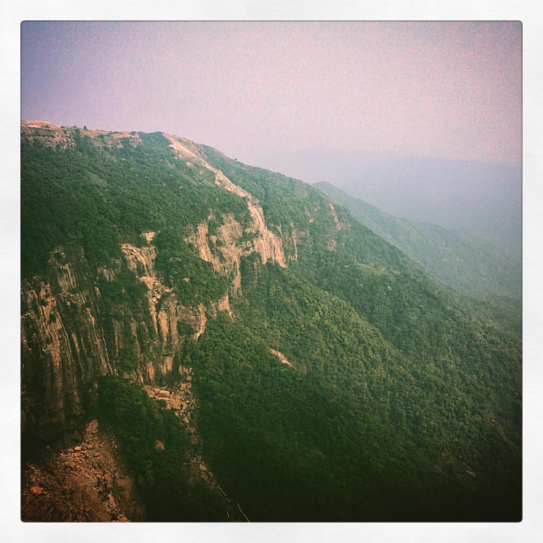
Cherrapunjee Rain Forests

Cherrapunjee Rain Forests
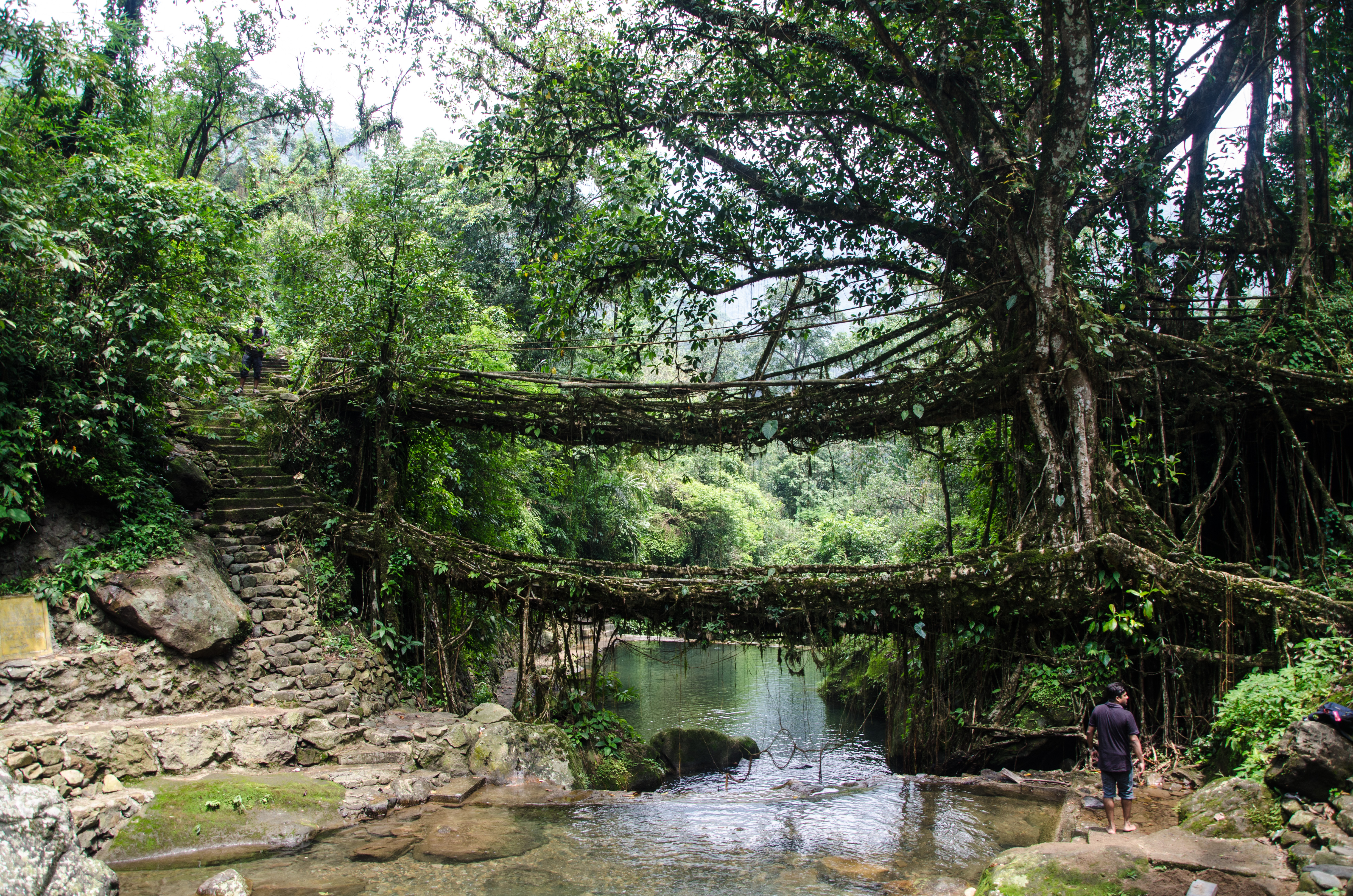
Double Decker Living Root Bridge
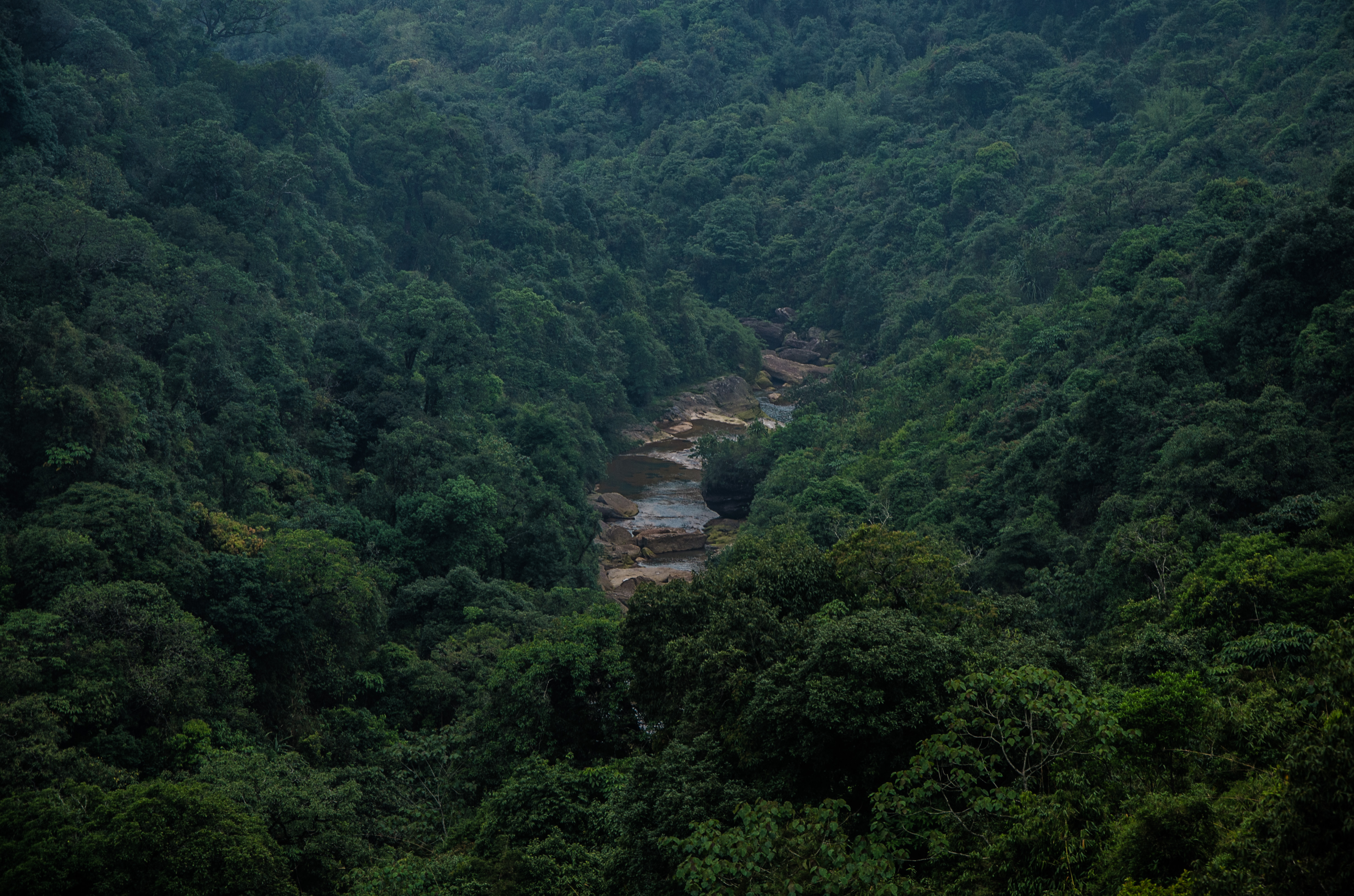
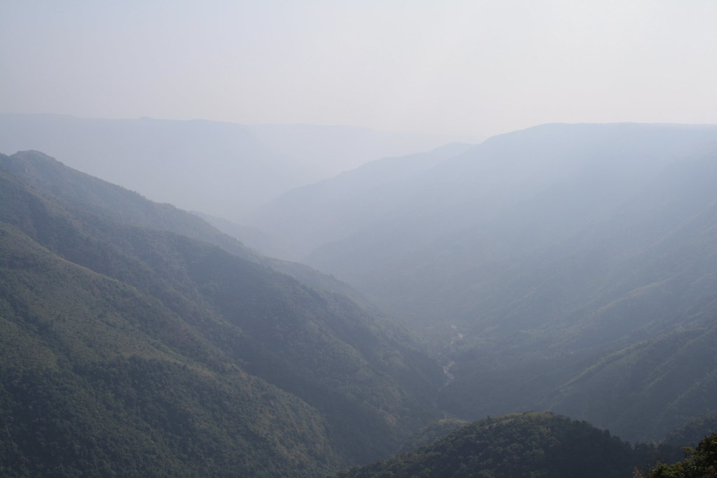
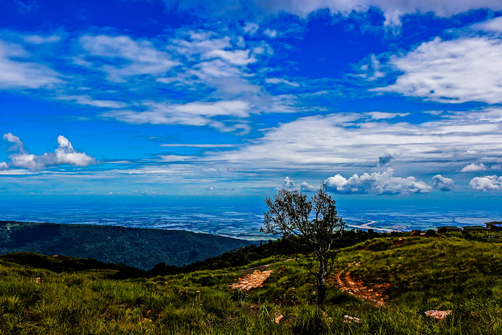
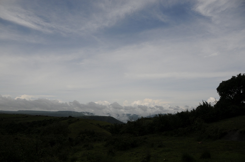
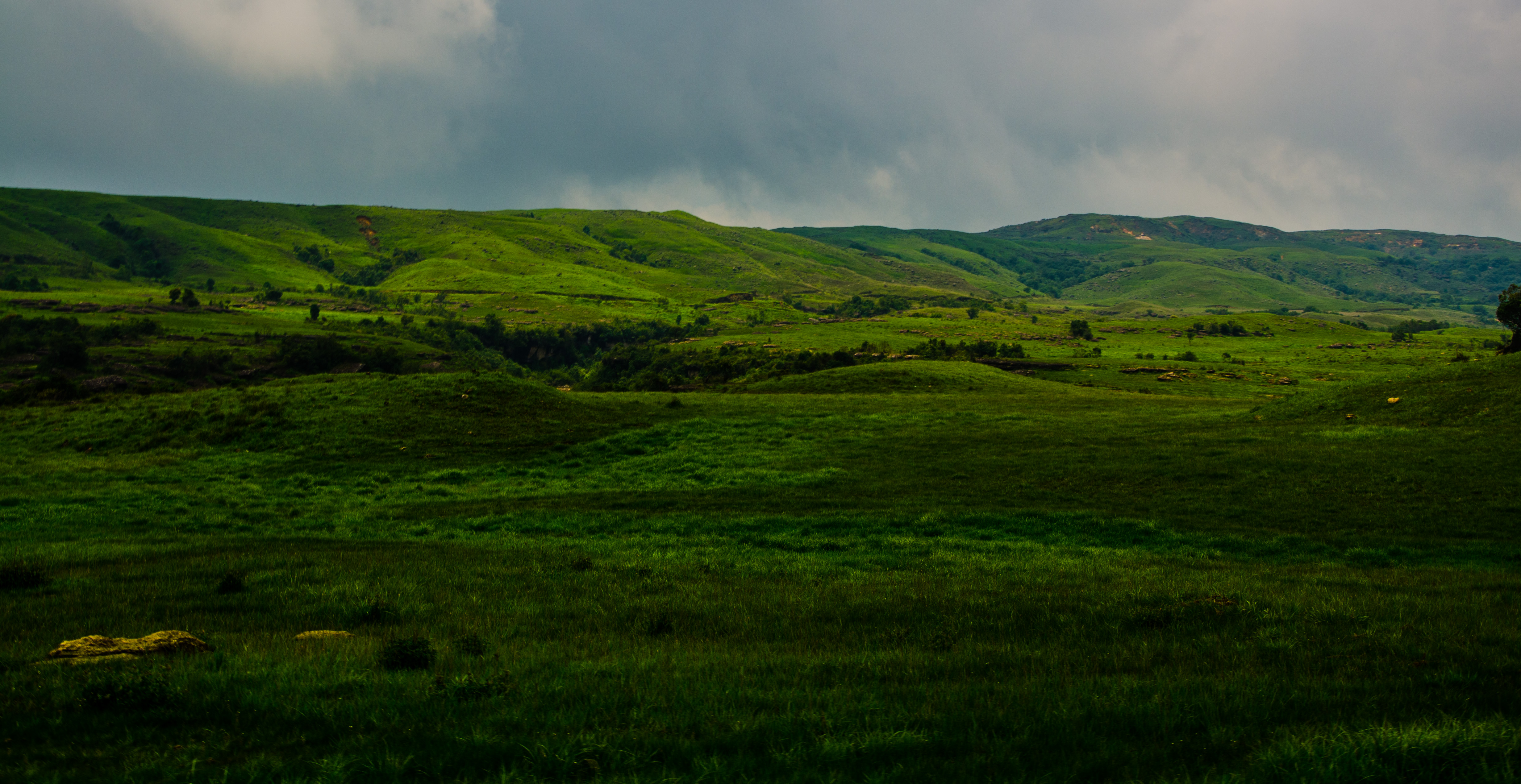
Cherrapunjee Landscape

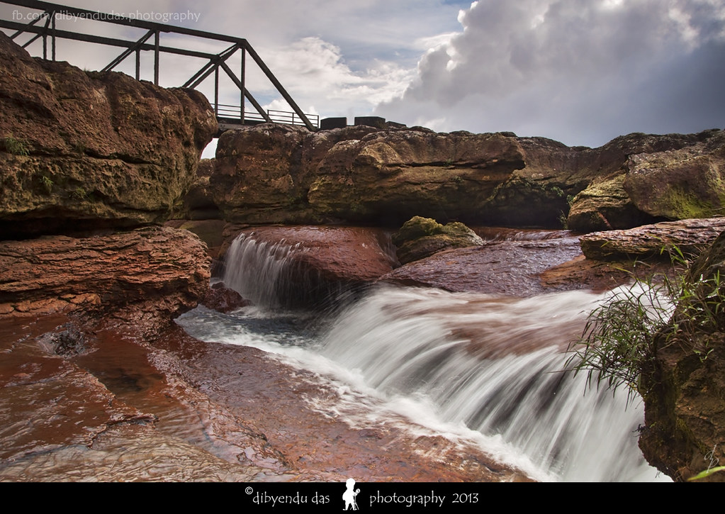
(unknown) Water Falls, near Cherrapunji
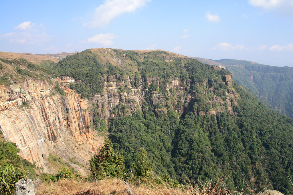
Cherrapunjee Landscape
Cherrapunjee Landscape
fading into... the hills of Meghalaya mellowing down to the plains of Bangladesh, Cherrapunji... #Meghalaya #outdoors #nature #waterfall #waterfalls #mountains #greenery #khasihills #travel #instapan #panorama #iphone #iphone4s #iphonography
(unknown) Water Falls, near Cherrapunji
Cherrapunjee Landscape

Living Root Bridge in Cherrapunjee | Meghalaya, India

water falls...
Topographic Map of Cherrapunjee, Meghalaya, India
Find elevation by address:

Places near Cherrapunjee, Meghalaya, India:
Cherapunjee View Point
Rainbow Falls
Double Root Bridge
Mawlynnong
Chhatak
Dowarabazar Upazila
Shnongpdeng
Dawki
Gowainghat Upazila
Sunamganj Sadar Upazila
Sunamganj
Sylhet District
Sylhet Sadar Upazila
Sylhet
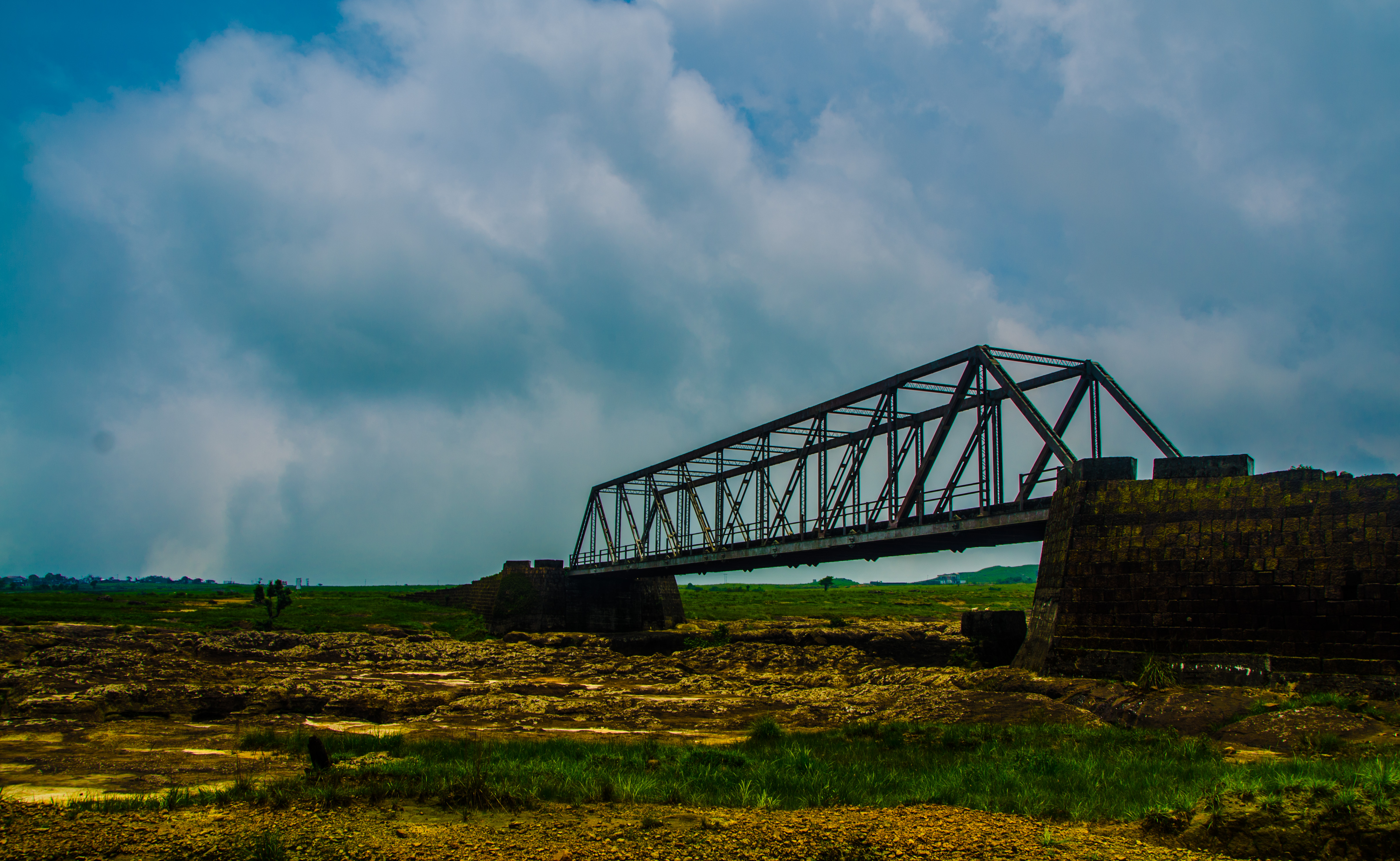
Keane Bridge
Keane Bridge, Sylhet
Jaintapur
Dakshin Sunamganj Upazila
Bishwanath Upazila
Dakshin Surma Upazila
Recent Searches:
- Elevation of Corso Fratelli Cairoli, 35, Macerata MC, Italy
- Elevation of Tallevast Rd, Sarasota, FL, USA
- Elevation of 4th St E, Sonoma, CA, USA
- Elevation of Black Hollow Rd, Pennsdale, PA, USA
- Elevation of Oakland Ave, Williamsport, PA, USA
- Elevation of Pedrógão Grande, Portugal
- Elevation of Klee Dr, Martinsburg, WV, USA
- Elevation of Via Roma, Pieranica CR, Italy
- Elevation of Tavkvetili Mountain, Georgia
- Elevation of Hartfords Bluff Cir, Mt Pleasant, SC, USA