Elevation map of East Khasi Hills, Meghalaya, India
Location: India > Meghalaya >
Longitude: 91.7538817
Latitude: 25.3681768
Elevation: 1403m / 4603feet
Barometric Pressure: 86KPa
Elevation Map:
Satellite Map:
Related Photos:
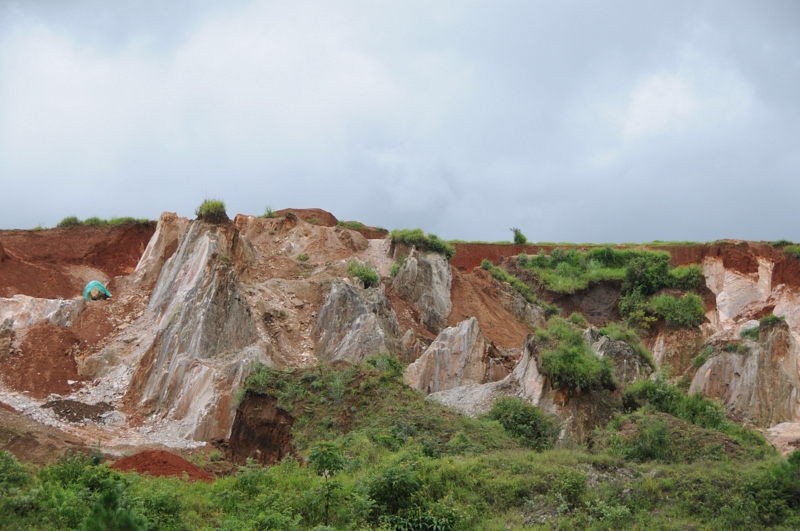
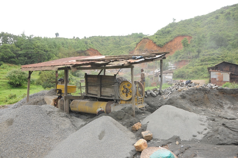
Mawkohngoh, Meghalaya
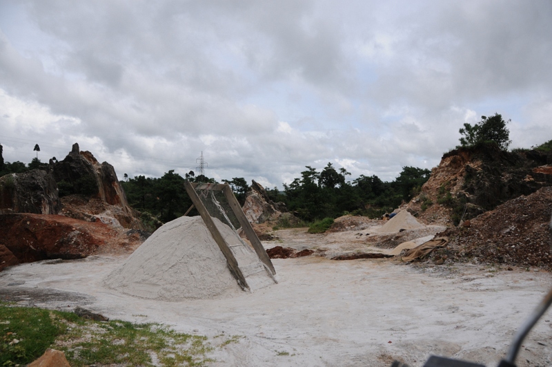
Mawlmeng, Meghalaya

CSP_4286.JPG

CSP_4243.JPG

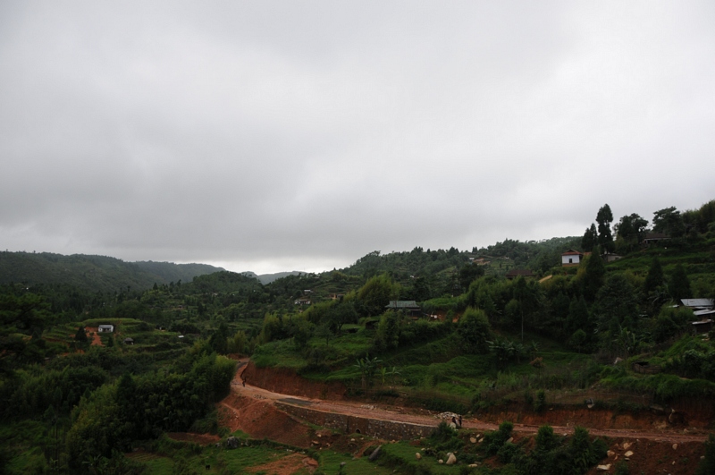
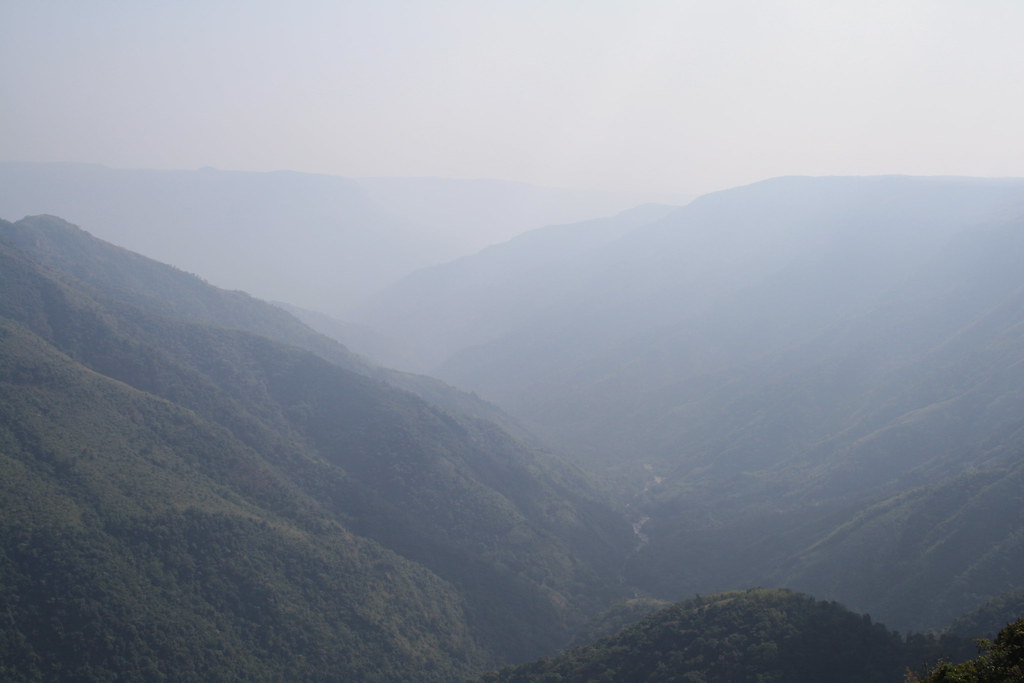
Lum Thangding, Meghalaya

Mawkohngoh, Meghalaya
Mawkohngoh, Meghalaya

CSP_4270.JPG

CSP_4241.JPG

CSP_4291.JPG

CSP_4288.JPG

CSP_4290.JPG

CSP_4271.JPG

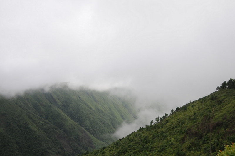
Kukon, Meghalaya
Cherrapunjee, Meghalaya
Nongrum, Meghalaya

CSP_4297.JPG
Dympep Velly View Point

CSP_4296.JPG

CSP_4232.JPG
Kukon, Meghalaya

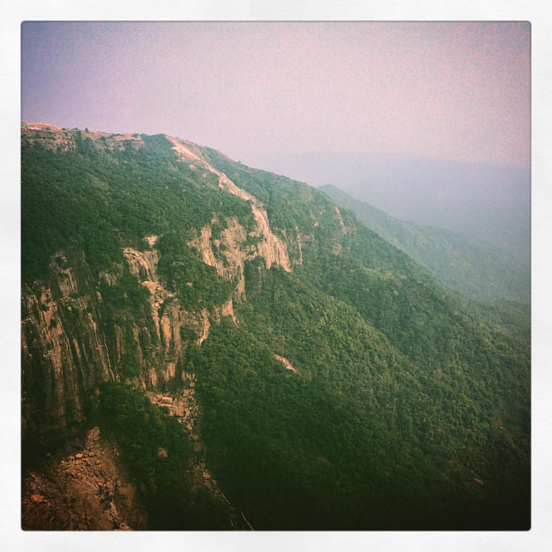
Fading hues and mist... the dry winter sun glazing Khasi hills...enroute Cherrapunji... #travel #Meghalaya #cherrapunji #khasi #mountains #fall #landscapes #iphonography #iphone4s #iphone #nature #outdoors
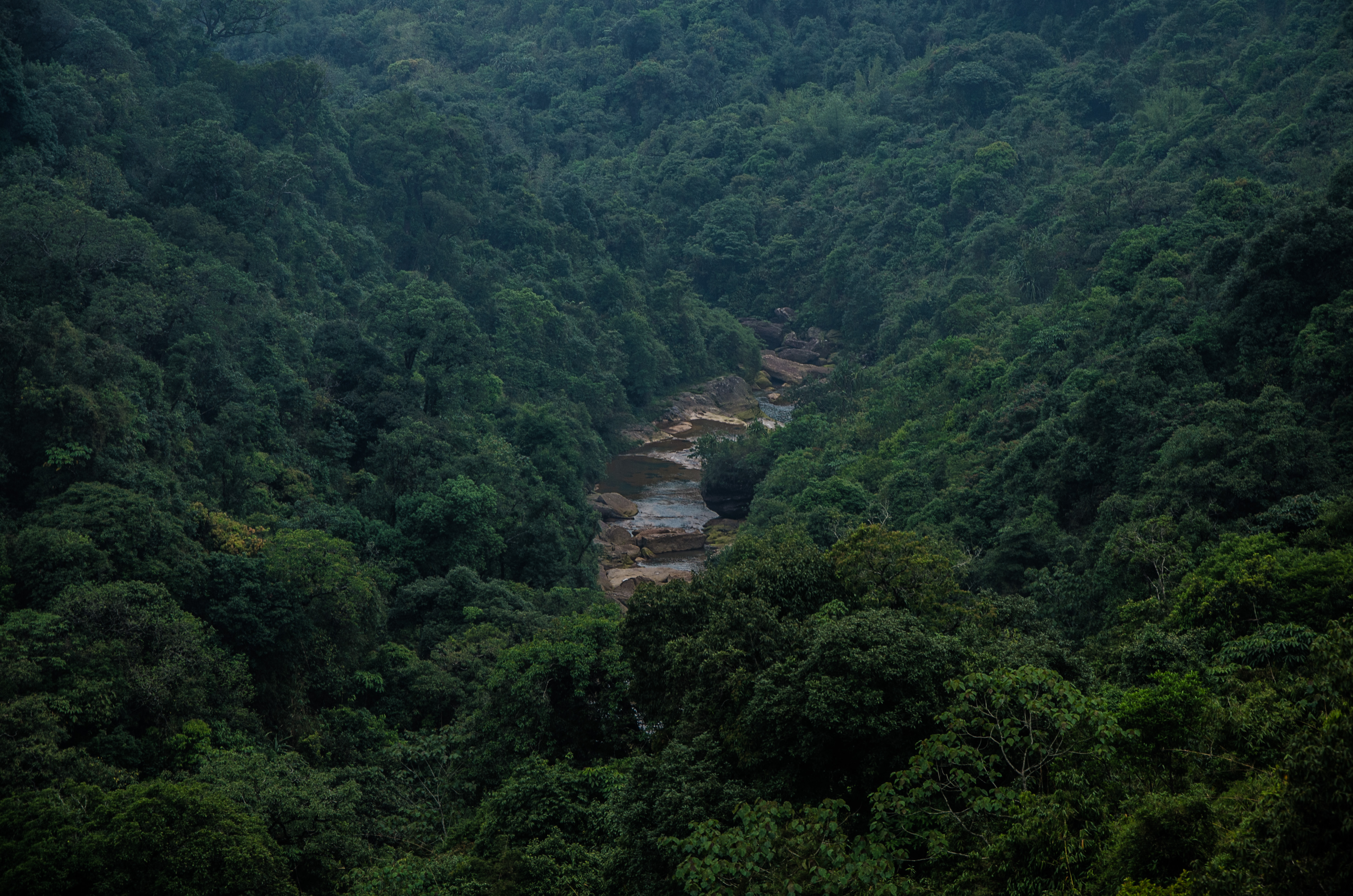
Cherrapunjee Rain Forests
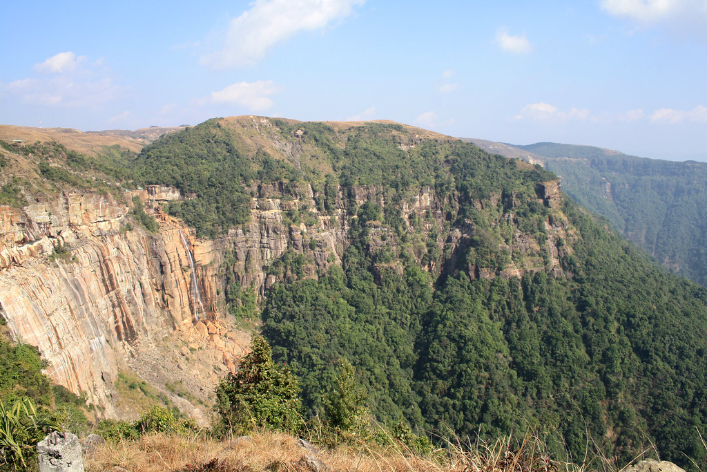
fading into... the hills of Meghalaya mellowing down to the plains of Bangladesh, Cherrapunji... #Meghalaya #outdoors #nature #waterfall #waterfalls #mountains #greenery #khasihills #travel #instapan #panorama #iphone #iphone4s #iphonography

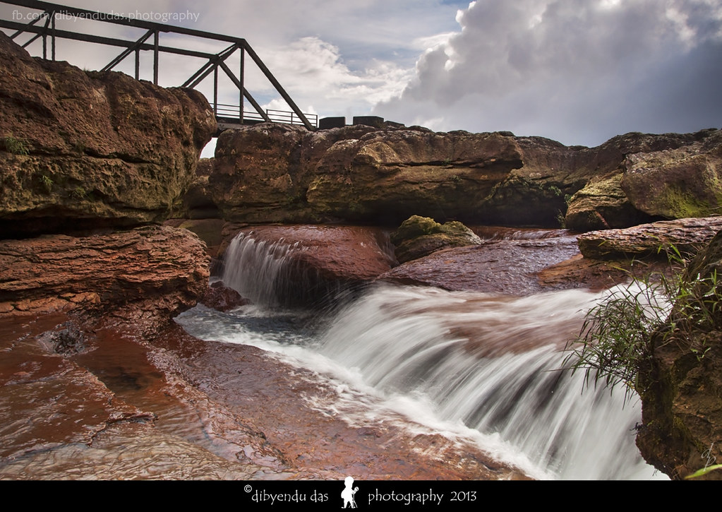
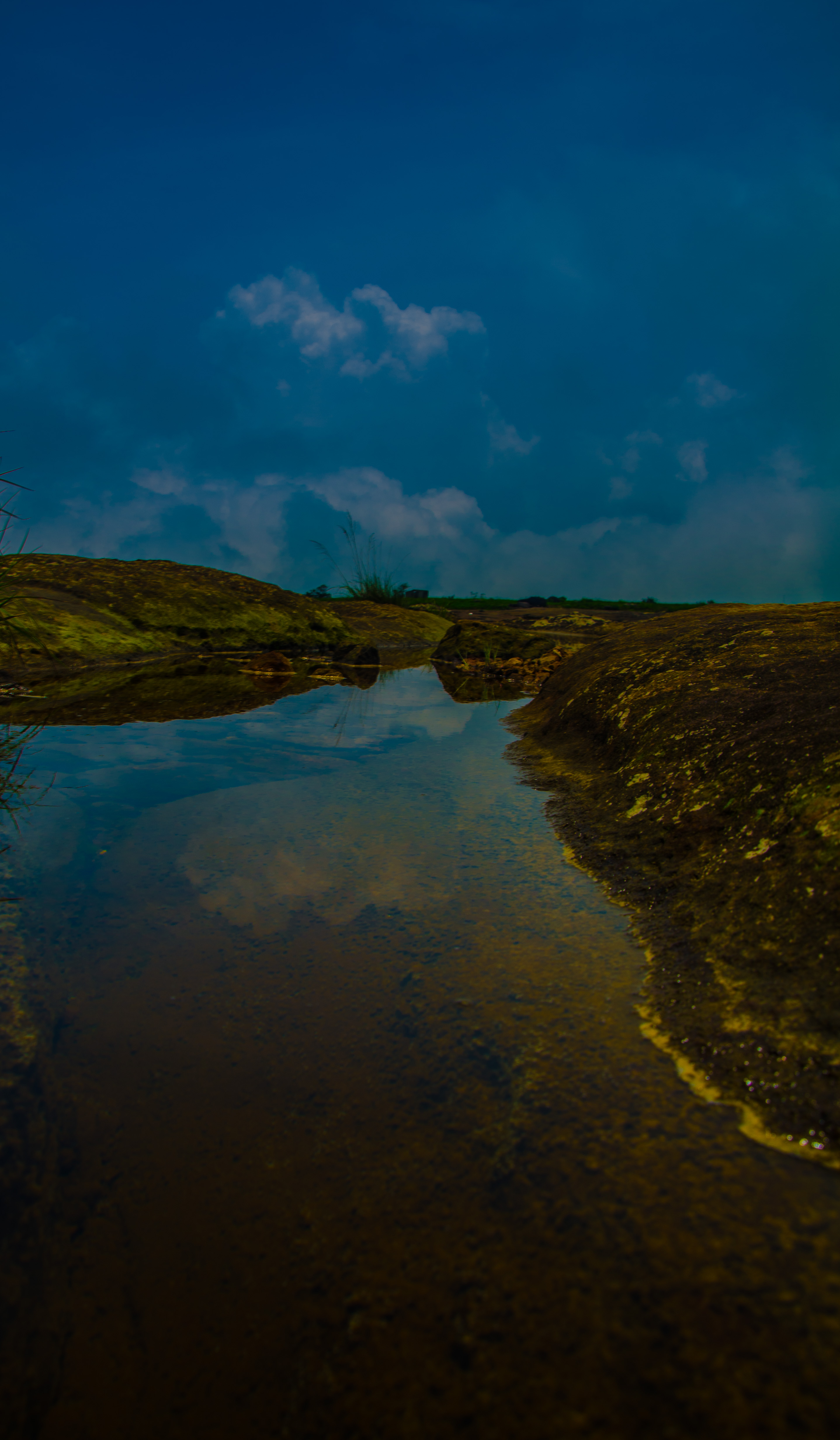
(unknown) Water Falls, near Cherrapunji

Cherrapunjee Rain Forests
(unknown) Water Falls, near Cherrapunji

Downhill through steep gorges along ancient trading routes to Bangladesh
Dain Thlen, Cherrapjunee
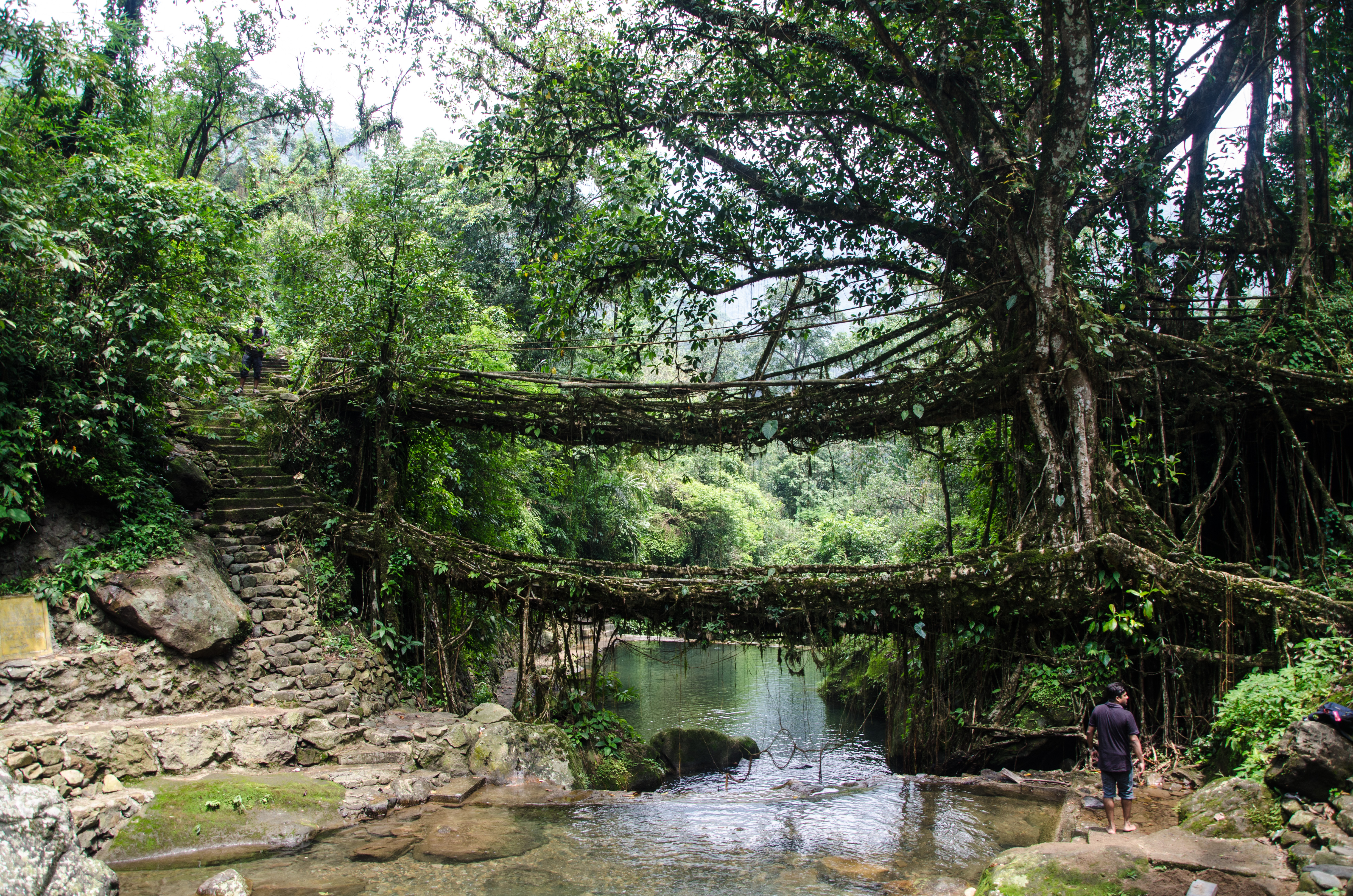
Double Decker Living Root Bridge
Cherrapunjee Landscape

Mawphlang Sacred Forests
Cherrapunjee Landscape

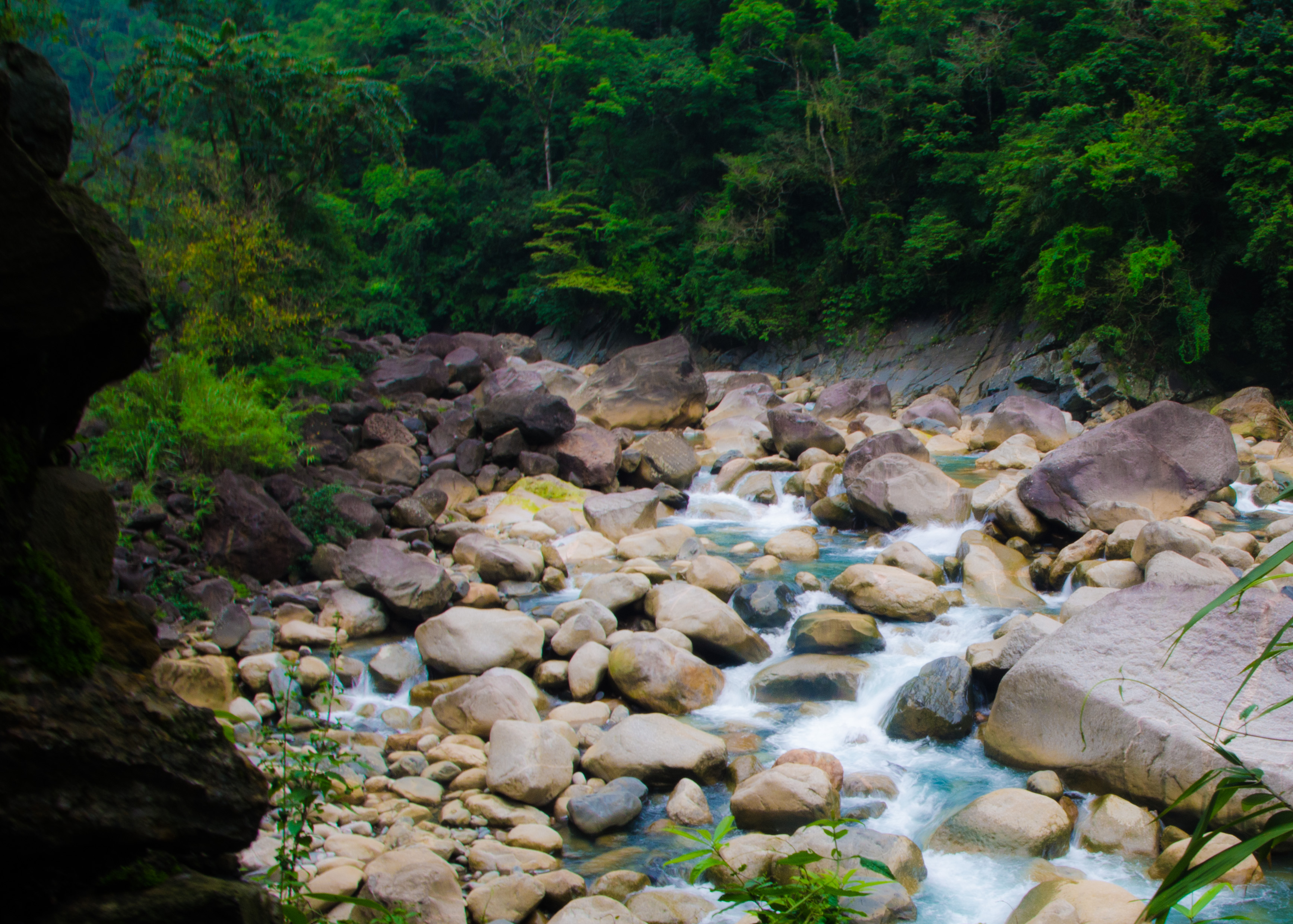
water falls...
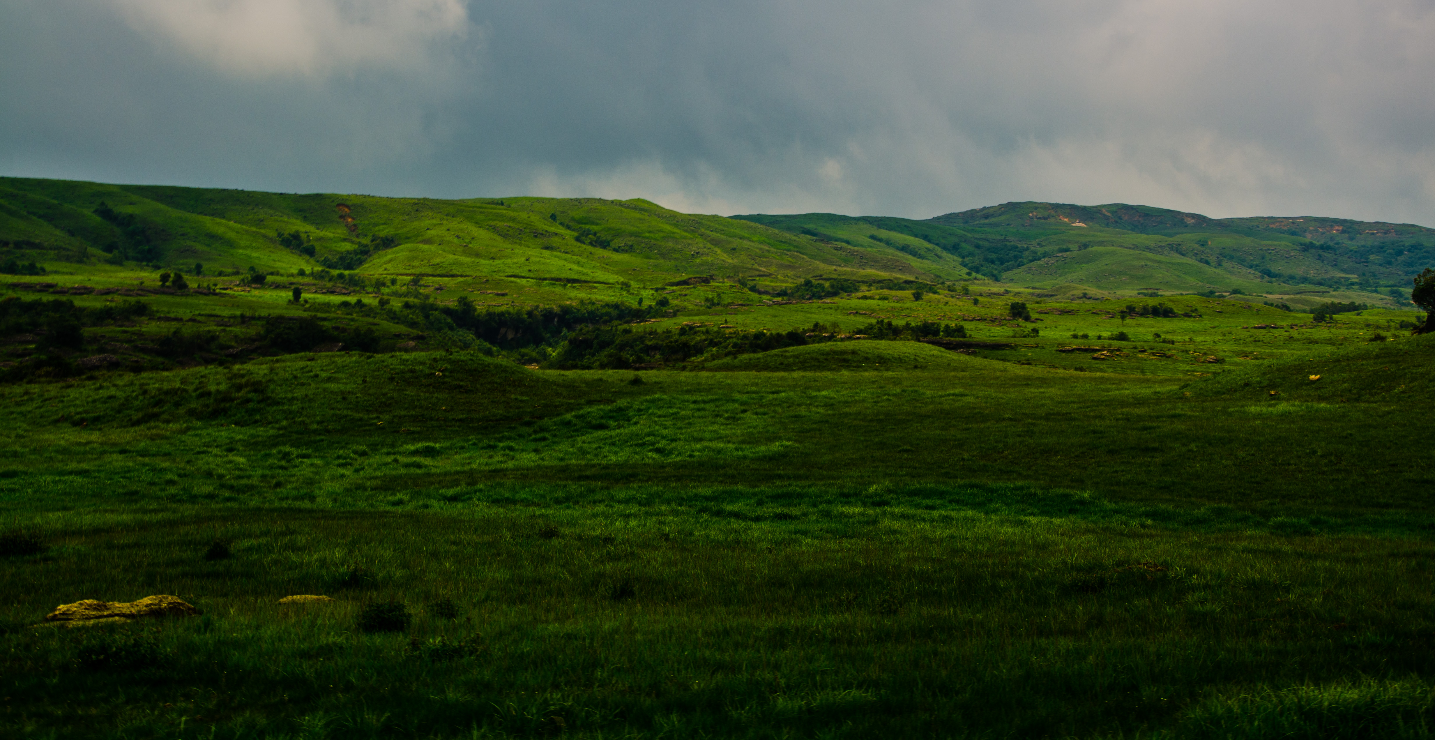
Cherrapunjee Landscape
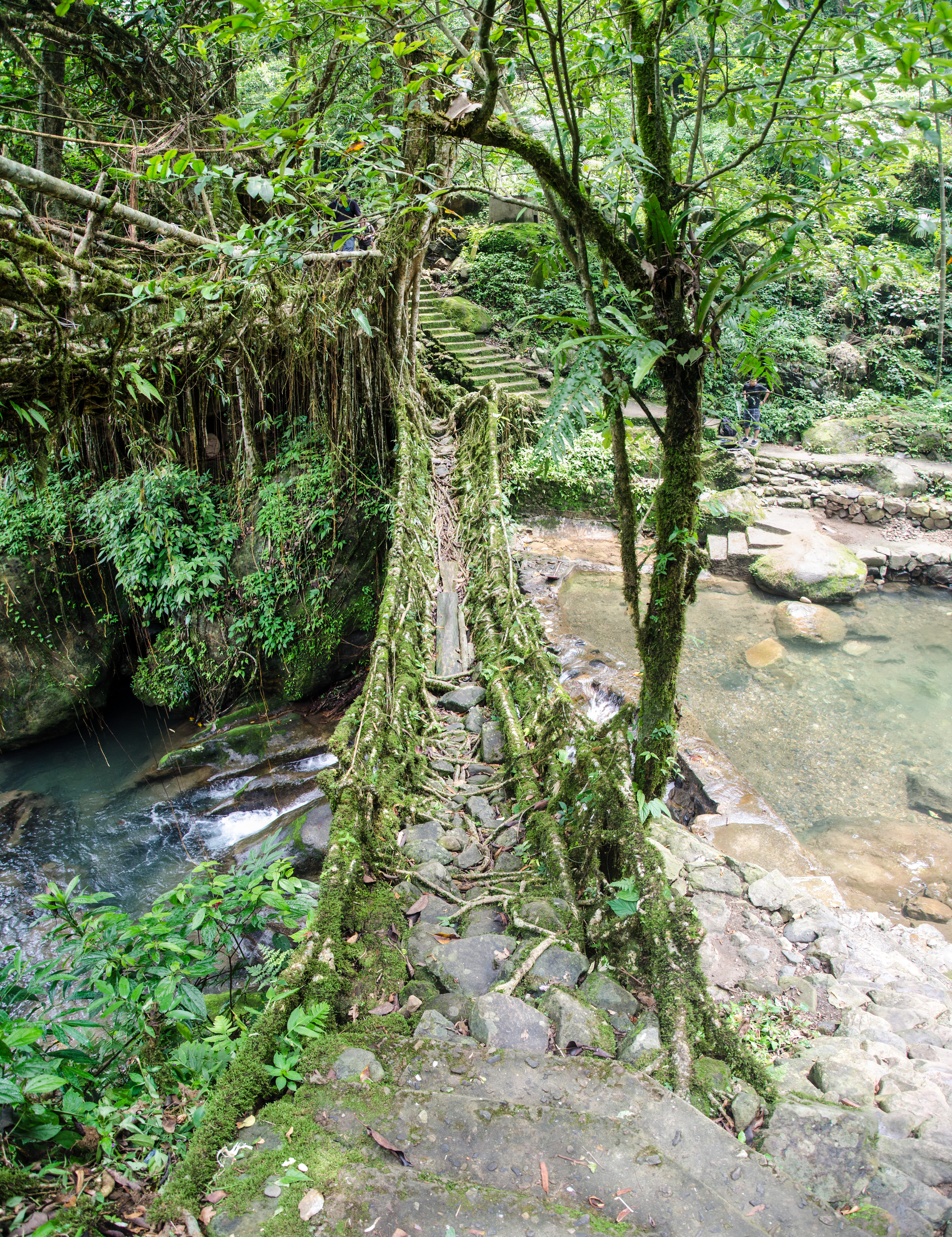
Double Decker Living Root Bridge
Cherrapunjee Landscape

Downhill through steep gorges along ancient trading routes to Bangladesh

Nohkalikai Fall

20140202090522_X-E1_DSCF5630

Nohkalikai Falls
Topographic Map of East Khasi Hills, Meghalaya, India
Find elevation by address:

Places in East Khasi Hills, Meghalaya, India:
Places near East Khasi Hills, Meghalaya, India:
Mawphlang
Mawphlang Dam
Shillong Peak, Laitkor
Mawsynram-shillong Road
Lummawbah
Bara Bazar
Gorkha Durga Temple
Upper Mawprem
Police Bazar Point
Police Bazar
Nit Meghalaya
National Institute Of Technology, Meghalaya
Shillong
Syntung
Wahrashi Falls (syntung)
Umiam Lake
Umiam Lake
Umiam
Ri-bhoi
West Jaintia Hills
Recent Searches:
- Elevation of Corso Fratelli Cairoli, 35, Macerata MC, Italy
- Elevation of Tallevast Rd, Sarasota, FL, USA
- Elevation of 4th St E, Sonoma, CA, USA
- Elevation of Black Hollow Rd, Pennsdale, PA, USA
- Elevation of Oakland Ave, Williamsport, PA, USA
- Elevation of Pedrógão Grande, Portugal
- Elevation of Klee Dr, Martinsburg, WV, USA
- Elevation of Via Roma, Pieranica CR, Italy
- Elevation of Tavkvetili Mountain, Georgia
- Elevation of Hartfords Bluff Cir, Mt Pleasant, SC, USA