Elevation of Bishwanath Upazila, Bangladesh
Location: Sylhet > Sylhet District >
Longitude: 91.756311
Latitude: 24.8137749
Elevation: 17m / 56feet
Barometric Pressure: 101KPa
Elevation Map:
Satellite Map:
Related Photos:

Sylhet Street View

Court Point

What you can't see everyday.

Village in Bangladesh

IMG_6582.jpg

Sunset In Sylhet M.A.G. Osmani Medical College Hospital

IMG_6329.jpg

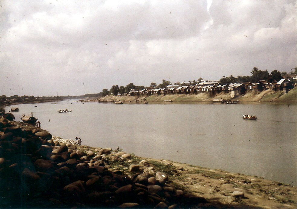
Surma River Sylhet, Bangladesh
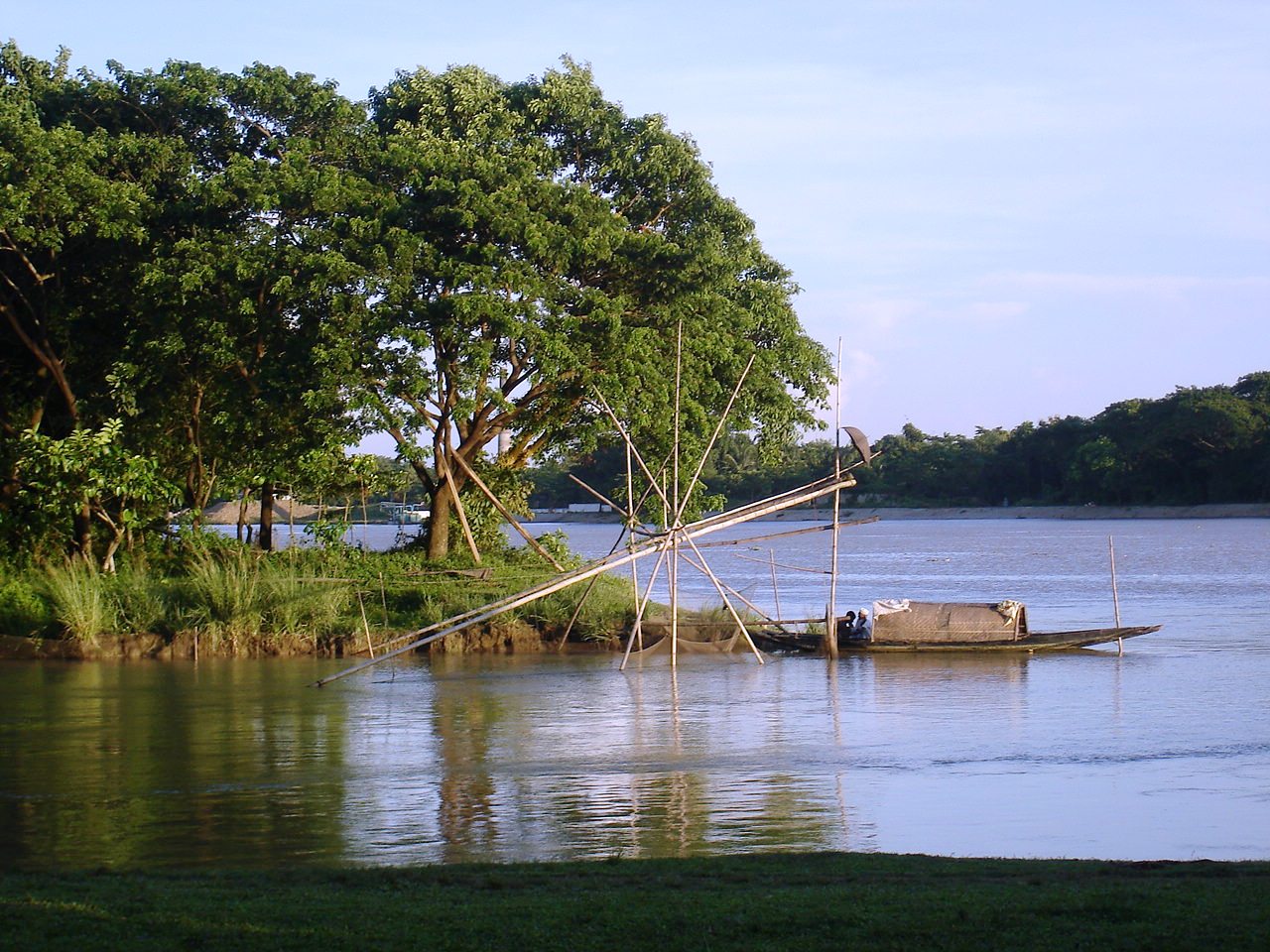
Wating for the last catch
197911.298.bangladesh.sylhet

Village in Bangladesh

beauty of sylhet

সূর্যাস্ত
Topographic Map of Bishwanath Upazila, Bangladesh
Find elevation by address:

Places near Bishwanath Upazila, Bangladesh:
Keane Bridge, Sylhet
Keane Bridge
Sylhet Division
Sylhet
Sylhet Sadar Upazila
Sylhet District
Dakshin Surma Upazila
Balaganj Upazila
Fenchuganj Upazila
Jagannathpur Upazila
Chhatak
Golapganj
Dowarabazar Upazila
Dakshin Sunamganj Upazila
Gowainghat Upazila
Beanibazar
Mawlynnong
Barthal
Sunamganj
Sunamganj Sadar Upazila
Recent Searches:
- Elevation of Corso Fratelli Cairoli, 35, Macerata MC, Italy
- Elevation of Tallevast Rd, Sarasota, FL, USA
- Elevation of 4th St E, Sonoma, CA, USA
- Elevation of Black Hollow Rd, Pennsdale, PA, USA
- Elevation of Oakland Ave, Williamsport, PA, USA
- Elevation of Pedrógão Grande, Portugal
- Elevation of Klee Dr, Martinsburg, WV, USA
- Elevation of Via Roma, Pieranica CR, Italy
- Elevation of Tavkvetili Mountain, Georgia
- Elevation of Hartfords Bluff Cir, Mt Pleasant, SC, USA