Elevation of Golapganj, Bangladesh
Location: Sylhet > Sylhet District >
Longitude: 92.0150758
Latitude: 24.8580629
Elevation: 19m / 62feet
Barometric Pressure: 101KPa
Elevation Map:
Satellite Map:
Related Photos:

Sylhet Street View

Court Point

What you can't see everyday.

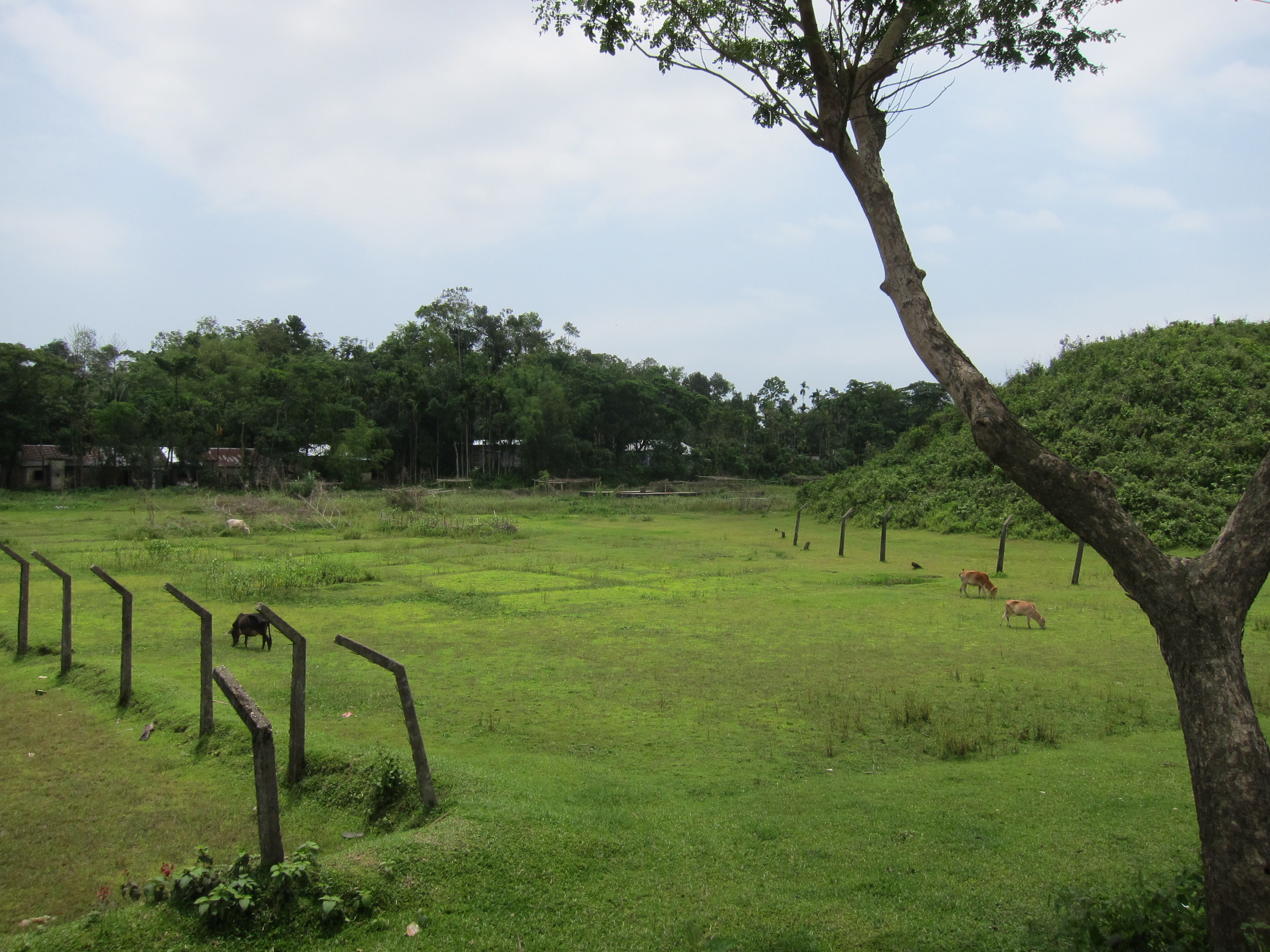
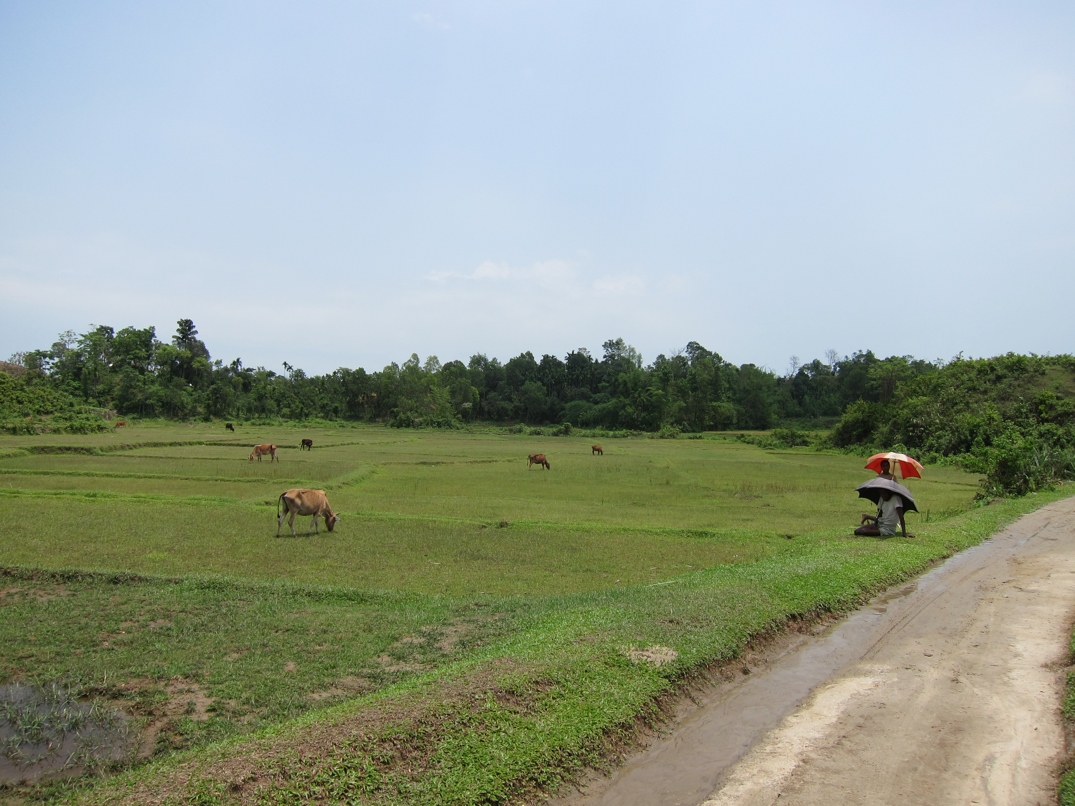
Village in Bangladesh

IMG_6329.jpg

IMG_6496.jpg

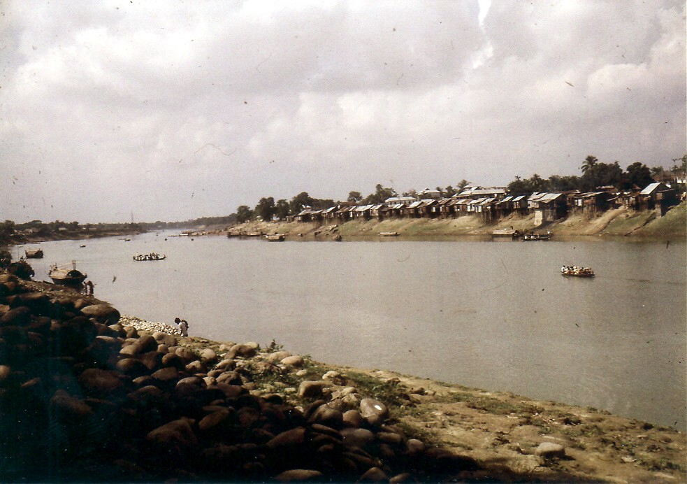
Surma River Sylhet, Bangladesh

IMG_6582.jpg
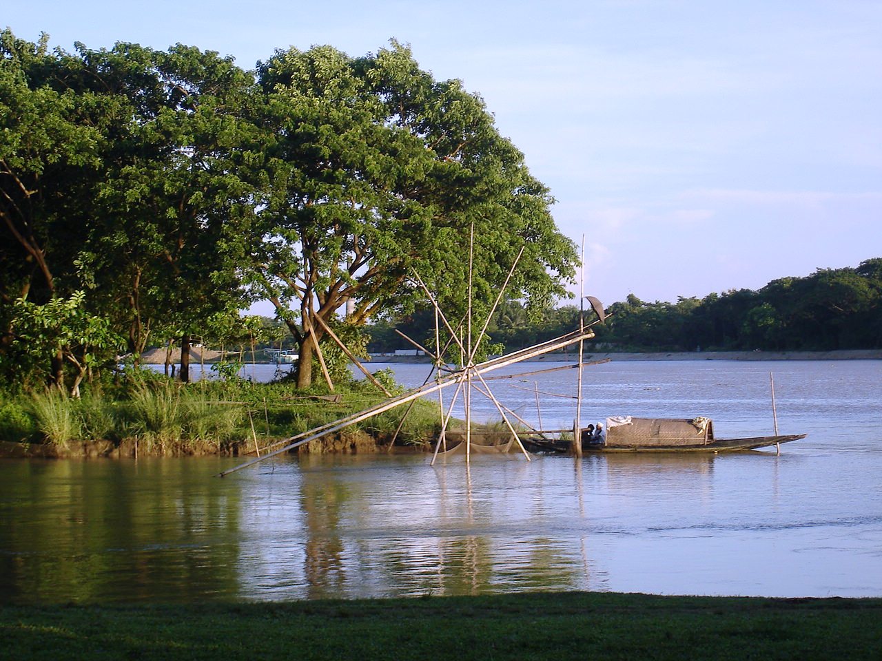
Wating for the last catch
197911.298.bangladesh.sylhet

Village in Bangladesh

beauty of sylhet

সূর্যাস্ত

Haripur Gas Field-3.jpg
IMG_6341.jpg

Haripur Gas Field-4.jpg
IMG_6347.jpg

Haripur Gas Field-2.jpg

Haripur Gas Field-1.jpg
Topographic Map of Golapganj, Bangladesh
Find elevation by address:

Places near Golapganj, Bangladesh:
Dakshin Surma Upazila
Beanibazar
Keane Bridge, Sylhet
Keane Bridge
Sylhet District
Sylhet Sadar Upazila
Sylhet
Fenchuganj Upazila
Gowainghat Upazila
Barthal
Panchogar School & College
Bishwanath Upazila
Balaganj Upazila
Kanaighat
Jaintapur
Dawki
Karimganj
Shnongpdeng
Zakiganj
Mawlynnong
Recent Searches:
- Elevation of Corso Fratelli Cairoli, 35, Macerata MC, Italy
- Elevation of Tallevast Rd, Sarasota, FL, USA
- Elevation of 4th St E, Sonoma, CA, USA
- Elevation of Black Hollow Rd, Pennsdale, PA, USA
- Elevation of Oakland Ave, Williamsport, PA, USA
- Elevation of Pedrógão Grande, Portugal
- Elevation of Klee Dr, Martinsburg, WV, USA
- Elevation of Via Roma, Pieranica CR, Italy
- Elevation of Tavkvetili Mountain, Georgia
- Elevation of Hartfords Bluff Cir, Mt Pleasant, SC, USA