Elevation of Guthrie County, IA, USA
Location: United States > Iowa >
Longitude: -94.479976
Latitude: 41.7530909
Elevation: 340m / 1115feet
Barometric Pressure: 97KPa
Elevation Map:
Satellite Map:
Related Photos:
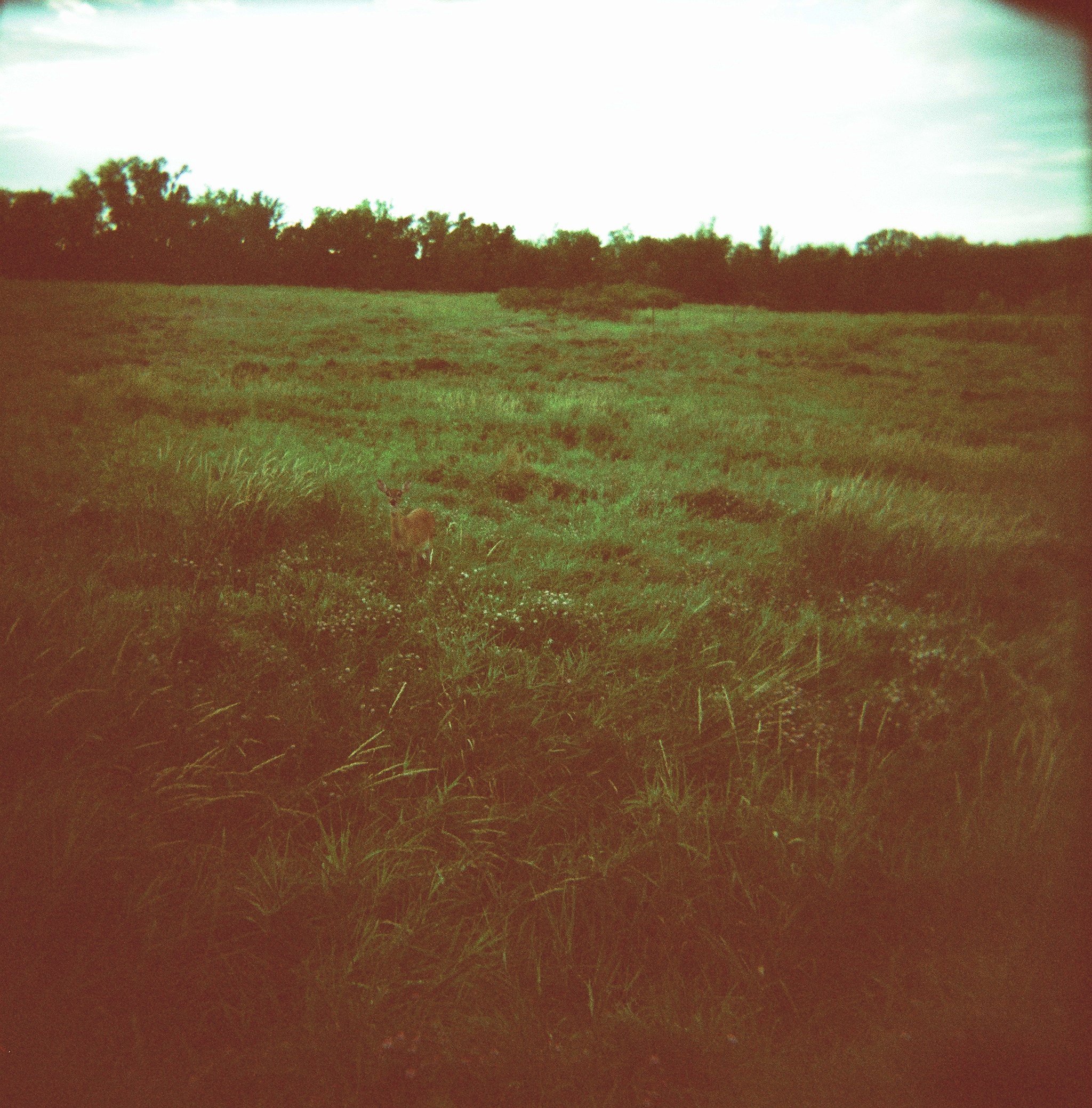
deer, springbrook state park
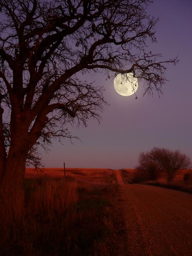
Halloween Night
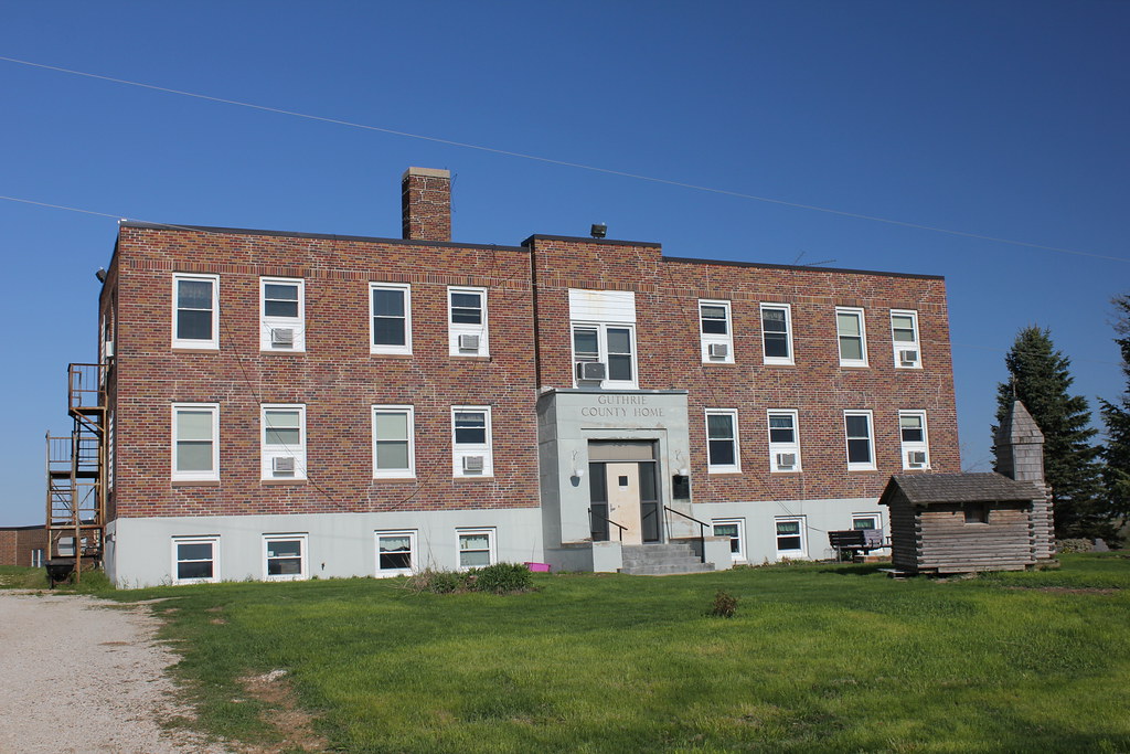
Guthrie County Home - rural Guthrie Center, IA
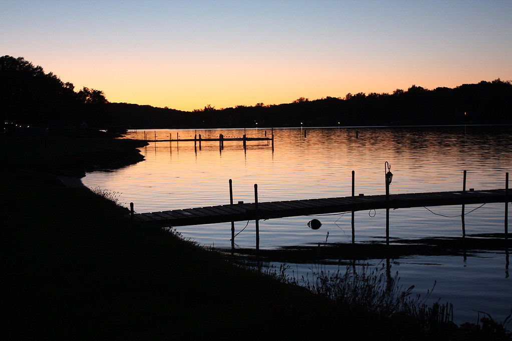
Sunset at Lake Panorama
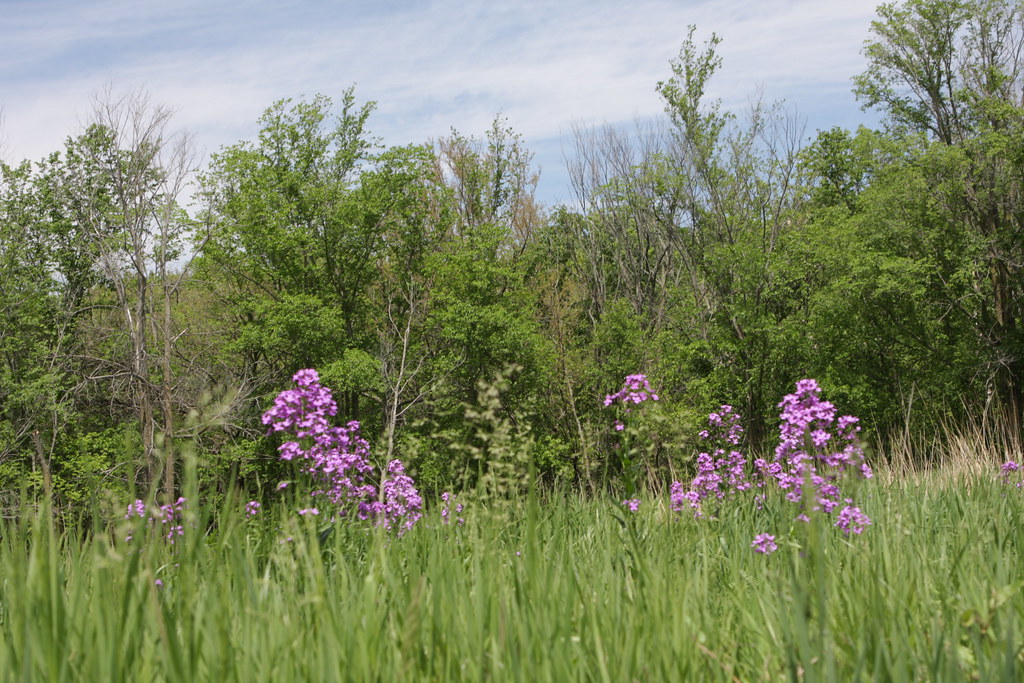
IMG_03797.JPG
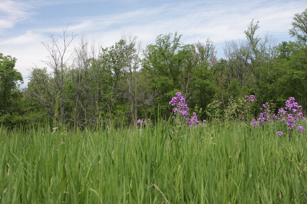
IMG_03796.JPG
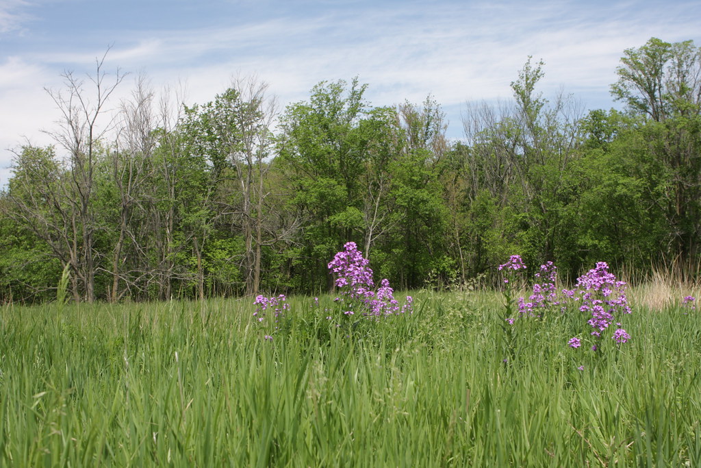
IMG_03795.JPG
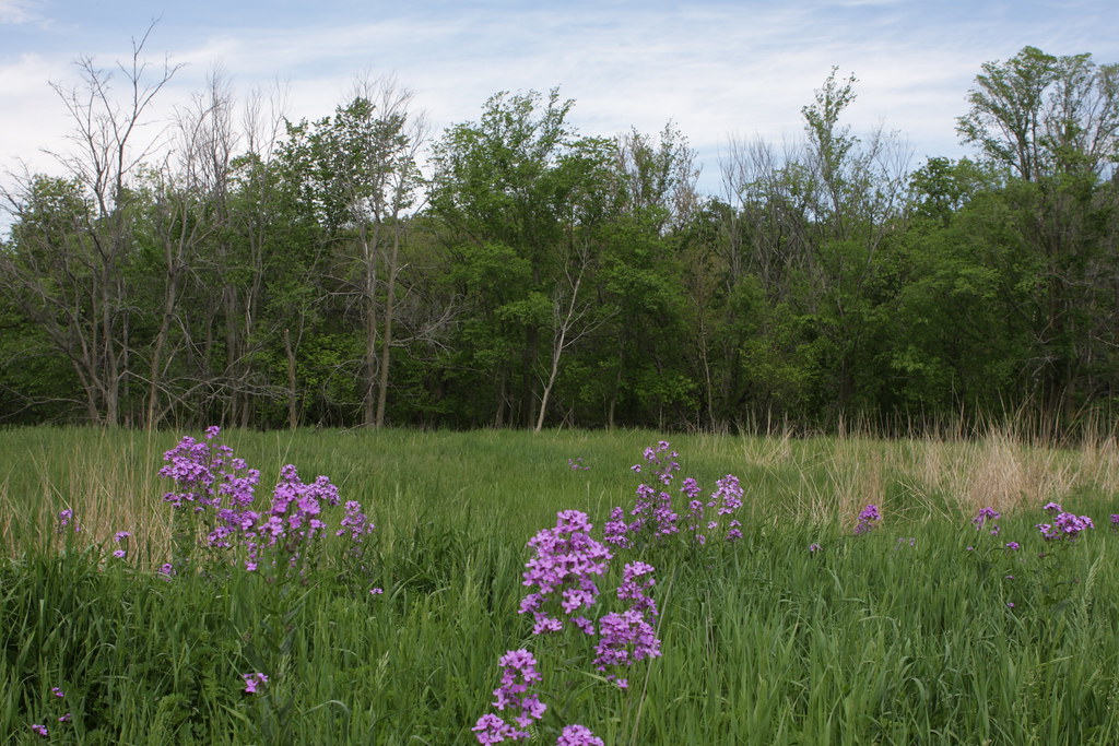
IMG_03789.JPG
Babbling Brook at 120 fps

IMG_03814.JPG
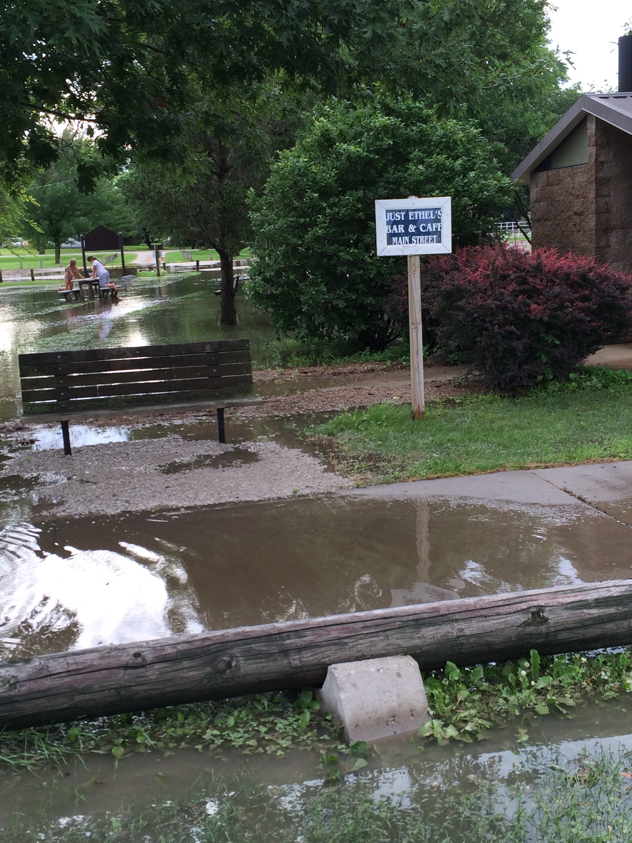
photo-3

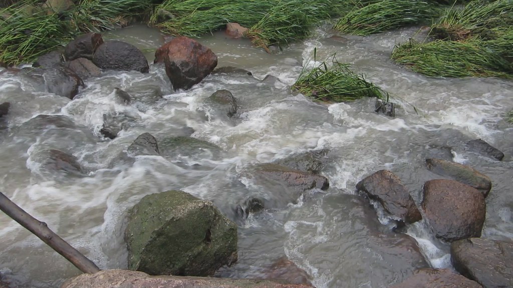
Babbling Brook at 240 fps
IMG_03812.JPG
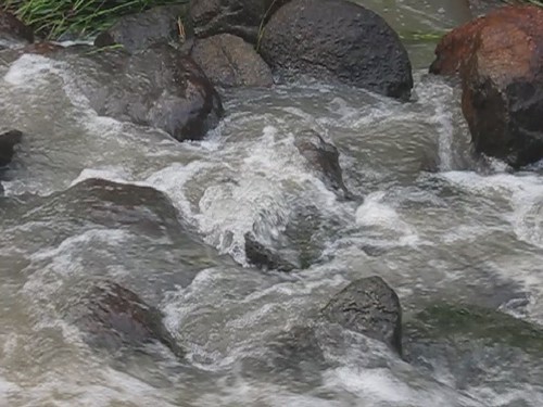
Babbling Brook
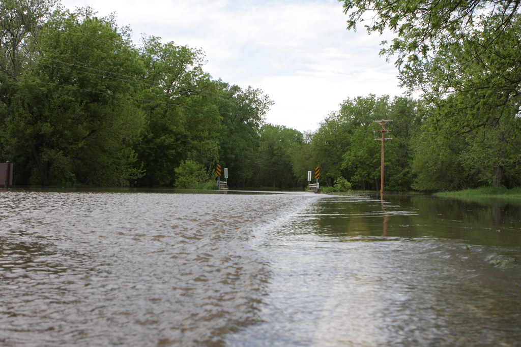
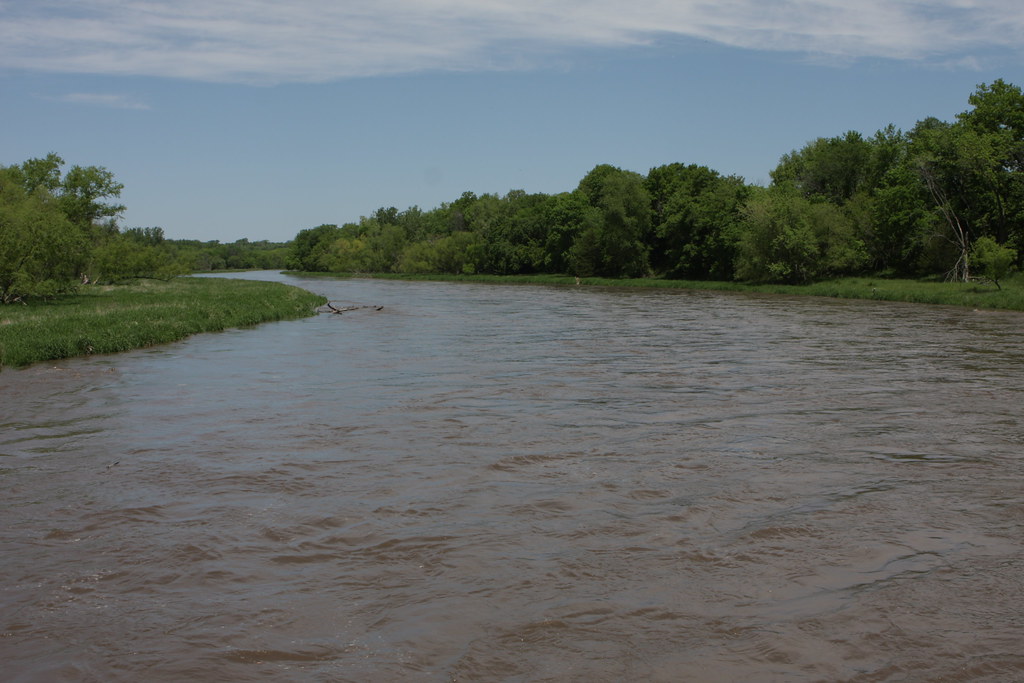
Middle Raccoon River, Iowa

Autumn Stream
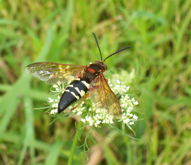
Eastern Cicada Killer (Sphecius speciosus)
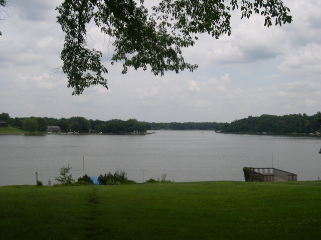
Lake Panorama
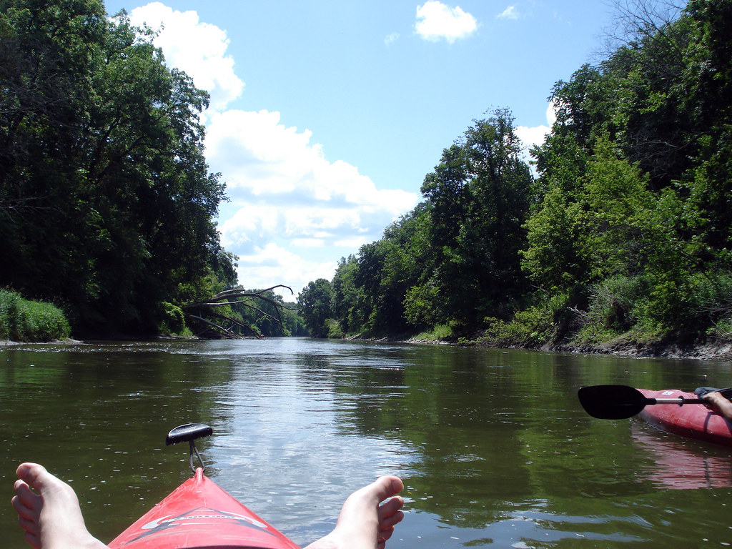
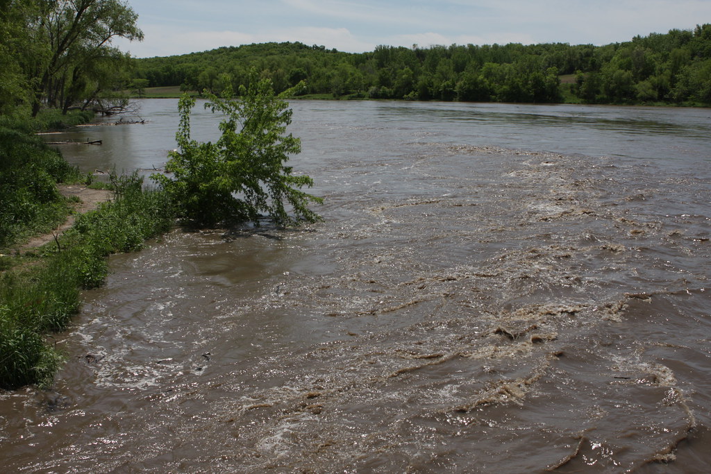
Kayaking the Middle Raccoon

IMG_03849.JPG
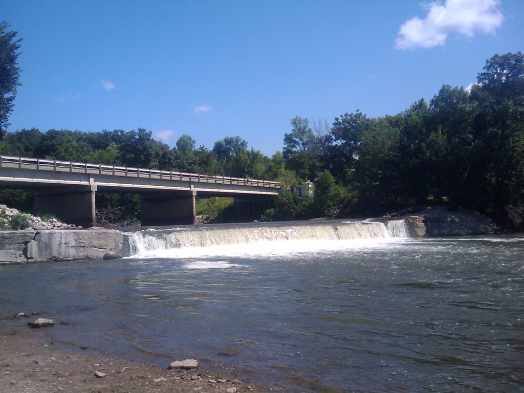
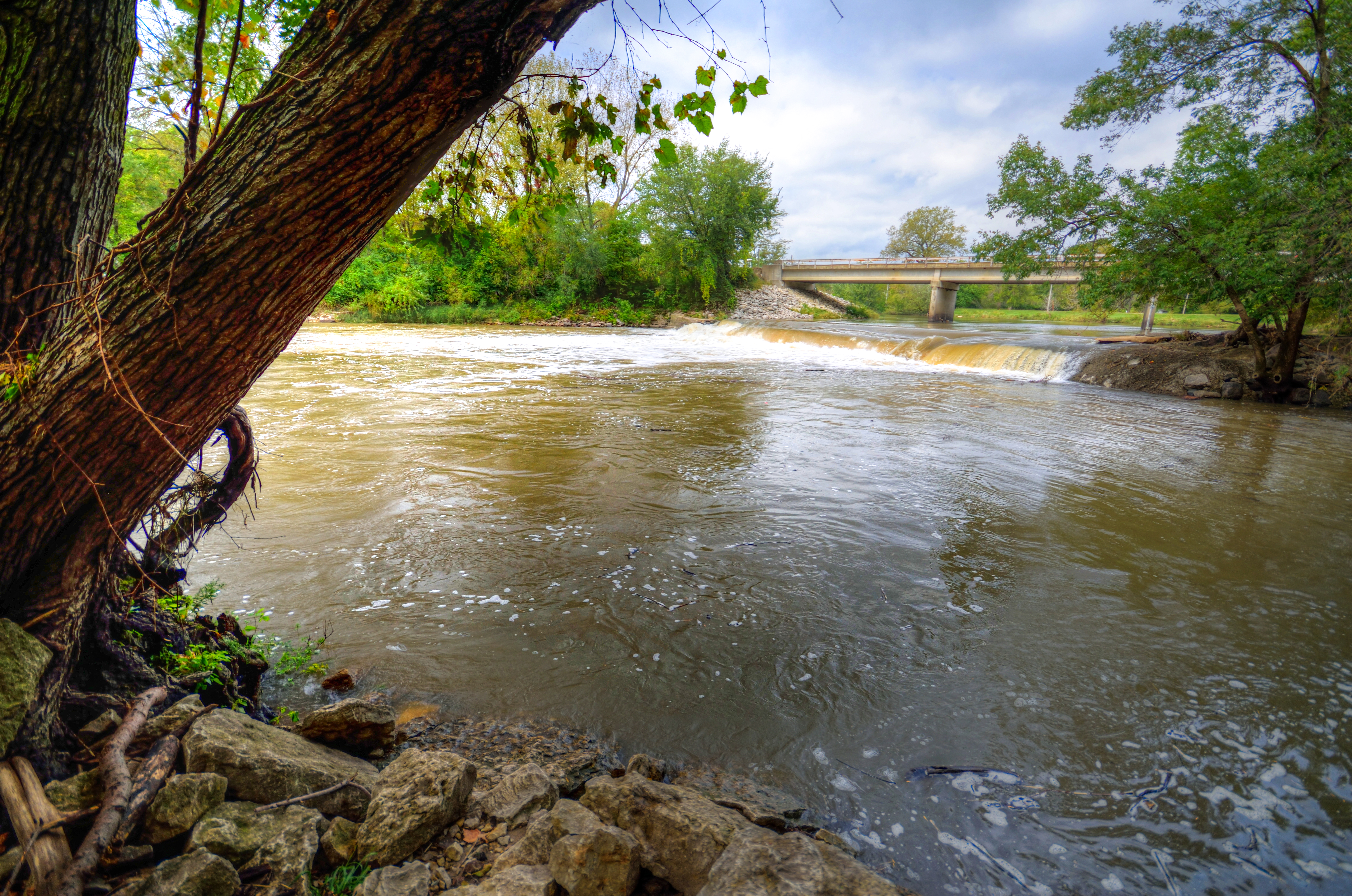
A little waterfall/dam where we put in today
IMG_03856.JPG
IMG_03854.JPG

IMG_03860.JPG
Topographic Map of Guthrie County, IA, USA
Find elevation by address:

Places in Guthrie County, IA, USA:
Places near Guthrie County, IA, USA:
710 N 12th St
902 N 5th St
State St, Guthrie Center, IA, USA
Guthrie Center
Valley
219 W Market St
E Main St, Panora, IA, USA
2682 Maple Ave
Richland
Herndon Rd, Bagley, IA, USA
Herndon
Co Rd P30, Jamaica, IA, USA
Jamaica
Franklin
Bear Grove
Cooper
Thompson
Coon Rapids
102 Hickory Ln
Mc Pherson St, Casey, IA, USA
Recent Searches:
- Elevation of Corso Fratelli Cairoli, 35, Macerata MC, Italy
- Elevation of Tallevast Rd, Sarasota, FL, USA
- Elevation of 4th St E, Sonoma, CA, USA
- Elevation of Black Hollow Rd, Pennsdale, PA, USA
- Elevation of Oakland Ave, Williamsport, PA, USA
- Elevation of Pedrógão Grande, Portugal
- Elevation of Klee Dr, Martinsburg, WV, USA
- Elevation of Via Roma, Pieranica CR, Italy
- Elevation of Tavkvetili Mountain, Georgia
- Elevation of Hartfords Bluff Cir, Mt Pleasant, SC, USA