Elevation of Bear Grove, IA, USA
Location: United States > Iowa > Guthrie County >
Longitude: -94.665702
Latitude: 41.6462827
Elevation: 410m / 1345feet
Barometric Pressure: 96KPa
Elevation Map:
Satellite Map:
Related Photos:
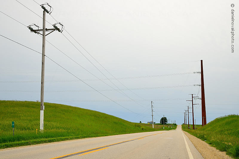
White Pole Road in Rural Iowa (DTA_4611)
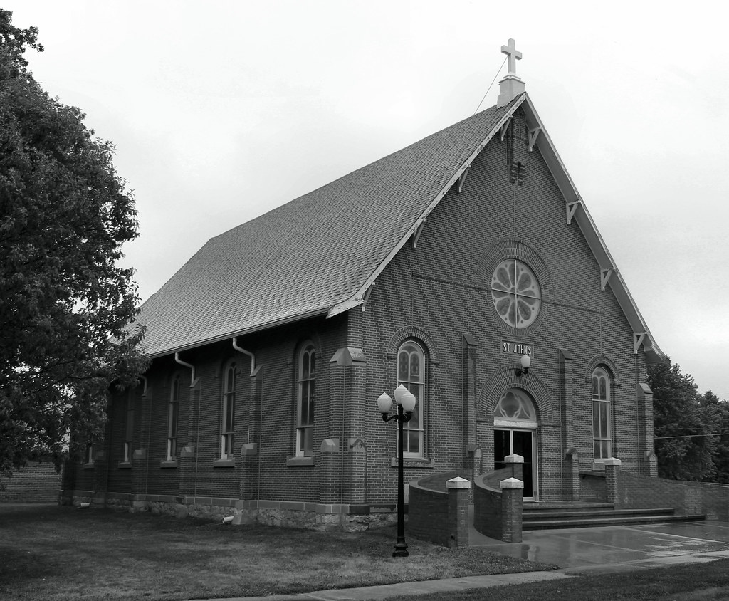
St. John's Catholic Church - Adair, IA
Topographic Map of Bear Grove, IA, USA
Find elevation by address:

Places in Bear Grove, IA, USA:
Places near Bear Grove, IA, USA:
th St, Adair, IA, USA
Adair
2682 Maple Ave
Guthrie Center
State St, Guthrie Center, IA, USA
902 N 5th St
Thompson
710 N 12th St
Mc Pherson St, Casey, IA, USA
Casey
Valley
Guthrie County
Exira
W Washington St, Exira, IA, USA
Grant
Main St, Anita, IA, USA
Coon Rapids
Anita
Exira
1000 Hillcrest Dr
Recent Searches:
- Elevation of Corso Fratelli Cairoli, 35, Macerata MC, Italy
- Elevation of Tallevast Rd, Sarasota, FL, USA
- Elevation of 4th St E, Sonoma, CA, USA
- Elevation of Black Hollow Rd, Pennsdale, PA, USA
- Elevation of Oakland Ave, Williamsport, PA, USA
- Elevation of Pedrógão Grande, Portugal
- Elevation of Klee Dr, Martinsburg, WV, USA
- Elevation of Via Roma, Pieranica CR, Italy
- Elevation of Tavkvetili Mountain, Georgia
- Elevation of Hartfords Bluff Cir, Mt Pleasant, SC, USA