Elevation of Coon Rapids, IA, USA
Location: United States > Iowa > Carroll County > Union >
Longitude: -94.677478
Latitude: 41.8708192
Elevation: 358m / 1175feet
Barometric Pressure: 97KPa
Elevation Map:
Satellite Map:
Related Photos:

Wood Stork

The Rapids of Coon Rapids, IA

Halloween Night

Winter Pasture

100213-018F
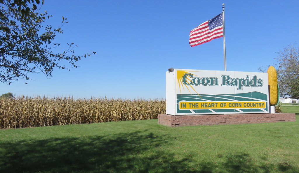
Coon Rapids Welcome Sign and World's Largest Rotating Ear of Corn (Coon Rapids, Iowa)

Western Iowa Landscape (Greene County, Iowa)

Eastern Cicada Killer (Sphecius speciosus)

Blue Steel took a picture!

Blue Steel took a picture!

Blue Steel took a picture!

Blue Steel took a picture!

Blue Steel took a picture!

Blue Steel took a picture!

Blue Steel took a picture!

Blue Steel took a picture!

Blue Steel took a picture!
Topographic Map of Coon Rapids, IA, USA
Find elevation by address:

Places near Coon Rapids, IA, USA:
102 Hickory Ln
Union
th St, Coon Rapids, IA, USA
Newton
Scranton
Pleasant Valley
2nd St, Ralston, IA, USA
Ralston
th St, Carroll, IA, USA
Willey
S Idaho St, Glidden, IA, USA
Glidden
Scranton
Glidden
Falcon Avenue
23508 220th St
Bear Grove
th St, Adair, IA, USA
Carroll County
Guthrie County
Recent Searches:
- Elevation of Corso Fratelli Cairoli, 35, Macerata MC, Italy
- Elevation of Tallevast Rd, Sarasota, FL, USA
- Elevation of 4th St E, Sonoma, CA, USA
- Elevation of Black Hollow Rd, Pennsdale, PA, USA
- Elevation of Oakland Ave, Williamsport, PA, USA
- Elevation of Pedrógão Grande, Portugal
- Elevation of Klee Dr, Martinsburg, WV, USA
- Elevation of Via Roma, Pieranica CR, Italy
- Elevation of Tavkvetili Mountain, Georgia
- Elevation of Hartfords Bluff Cir, Mt Pleasant, SC, USA