Elevation of Hickory Ln, Coon Rapids, IA, USA
Location: United States > Iowa > Carroll County > Union > Coon Rapids >
Longitude: -94.683409
Latitude: 41.8838294
Elevation: 390m / 1280feet
Barometric Pressure: 97KPa
Elevation Map:
Satellite Map:
Related Photos:

Halloween Night

Wood Stork

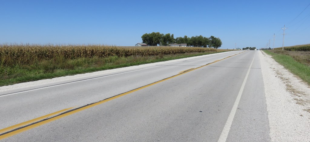
The Rapids of Coon Rapids, IA

Eastern Cicada Killer (Sphecius speciosus)
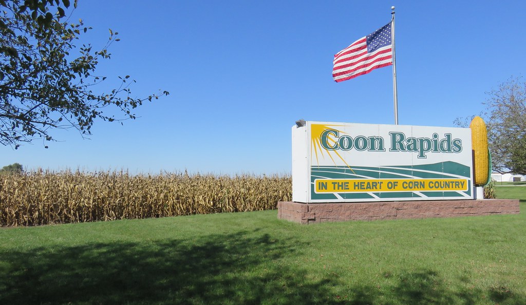
Coon Rapids Welcome Sign and World's Largest Rotating Ear of Corn (Coon Rapids, Iowa)
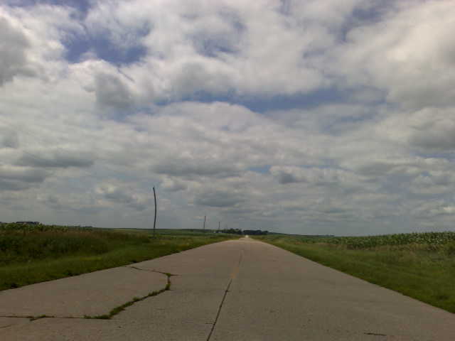
Western Iowa Landscape (Greene County, Iowa)
Whiterock.Conservancy_Photo(Educational.Sign.Project_Sign.6B_Credit.to.Rob.Davis_2018.03.29_Option.3)
Blue Steel took a picture!
Blue Steel took a picture!

Winter Pasture
Blue Steel took a picture!
Blue Steel took a picture!
Blue Steel took a picture!
Blue Steel took a picture!

100213-018F

possible Mottled Duck
Topographic Map of Hickory Ln, Coon Rapids, IA, USA
Find elevation by address:

Places near Hickory Ln, Coon Rapids, IA, USA:
Coon Rapids
Union
th St, Coon Rapids, IA, USA
Newton
Pleasant Valley
Scranton
2nd St, Ralston, IA, USA
Ralston
th St, Carroll, IA, USA
Willey
S Idaho St, Glidden, IA, USA
Glidden
Scranton
Glidden
Falcon Avenue
23508 220th St
Carroll County
Eden
Bear Grove
th St, Adair, IA, USA
Recent Searches:
- Elevation of Corso Fratelli Cairoli, 35, Macerata MC, Italy
- Elevation of Tallevast Rd, Sarasota, FL, USA
- Elevation of 4th St E, Sonoma, CA, USA
- Elevation of Black Hollow Rd, Pennsdale, PA, USA
- Elevation of Oakland Ave, Williamsport, PA, USA
- Elevation of Pedrógão Grande, Portugal
- Elevation of Klee Dr, Martinsburg, WV, USA
- Elevation of Via Roma, Pieranica CR, Italy
- Elevation of Tavkvetili Mountain, Georgia
- Elevation of Hartfords Bluff Cir, Mt Pleasant, SC, USA