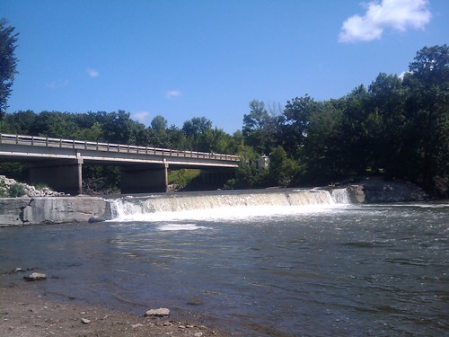
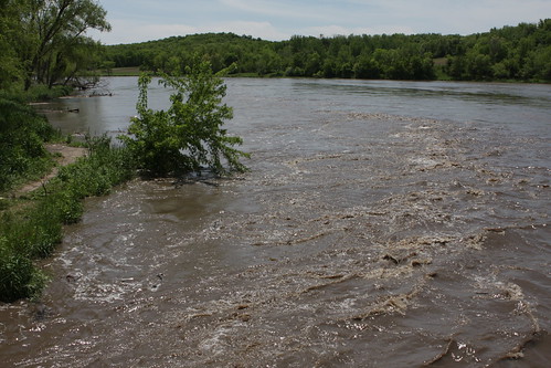
Elevation of E Main St, Panora, IA, USA
Location: United States > Iowa > Guthrie County >
Longitude: -94.362712
Latitude: 41.6916885
Elevation: 326m / 1070feet
Barometric Pressure: 97KPa
Related Photos:
Topographic Map of E Main St, Panora, IA, USA
Find elevation by address:

Places near E Main St, Panora, IA, USA:
219 W Market St
Valley
Richland
710 N 12th St
Guthrie County
902 N 5th St
State St, Guthrie Center, IA, USA
Guthrie Center
Herndon Rd, Bagley, IA, USA
Herndon
Penn
Co Rd P30, Jamaica, IA, USA
Jamaica
2682 Maple Ave
8112 Walt's Point Dr
Stuart
Co Rd P28, Stuart, IA, USA
Franklin
Cooper
Lincoln
Recent Searches:
- Elevation of Corso Fratelli Cairoli, 35, Macerata MC, Italy
- Elevation of Tallevast Rd, Sarasota, FL, USA
- Elevation of 4th St E, Sonoma, CA, USA
- Elevation of Black Hollow Rd, Pennsdale, PA, USA
- Elevation of Oakland Ave, Williamsport, PA, USA
- Elevation of Pedrógão Grande, Portugal
- Elevation of Klee Dr, Martinsburg, WV, USA
- Elevation of Via Roma, Pieranica CR, Italy
- Elevation of Tavkvetili Mountain, Georgia
- Elevation of Hartfords Bluff Cir, Mt Pleasant, SC, USA
