Elevation of Goodwell, OK, USA
Location: United States > Oklahoma > Texas County >
Longitude: -101.6365504
Latitude: 36.5953038
Elevation: 1008m / 3307feet
Barometric Pressure: 0KPa
Related Photos:

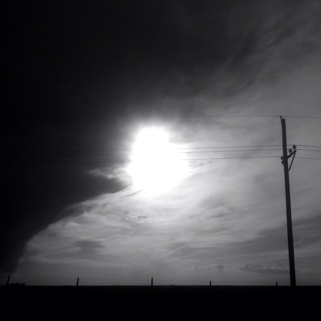
My view running today #snow #ice
Soft Wind

Plain Symphony

Strength in Mass
Grand Arrival

Last Stand

Ground Texture

Spinning towards the Moon

Fence forward

Lookin up to Heaven

Light Strikes

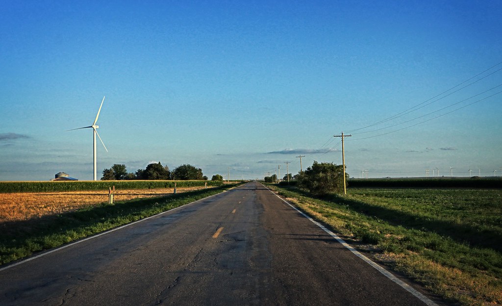
Sunset Lane

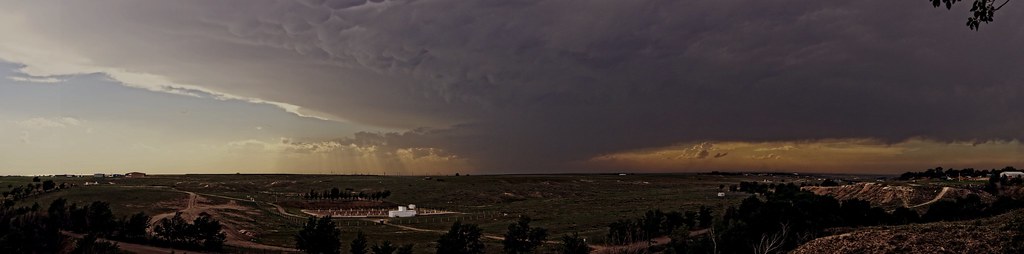
Lost Carnival

Puddle Fair

God's Audience
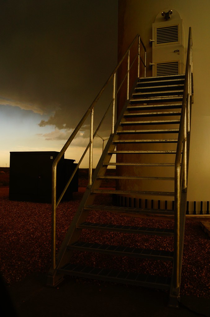
Steps To..
Heading Back

Toying with the Moon

Sweet Dreams

Prairie Sunrise

Rainbow Shyness
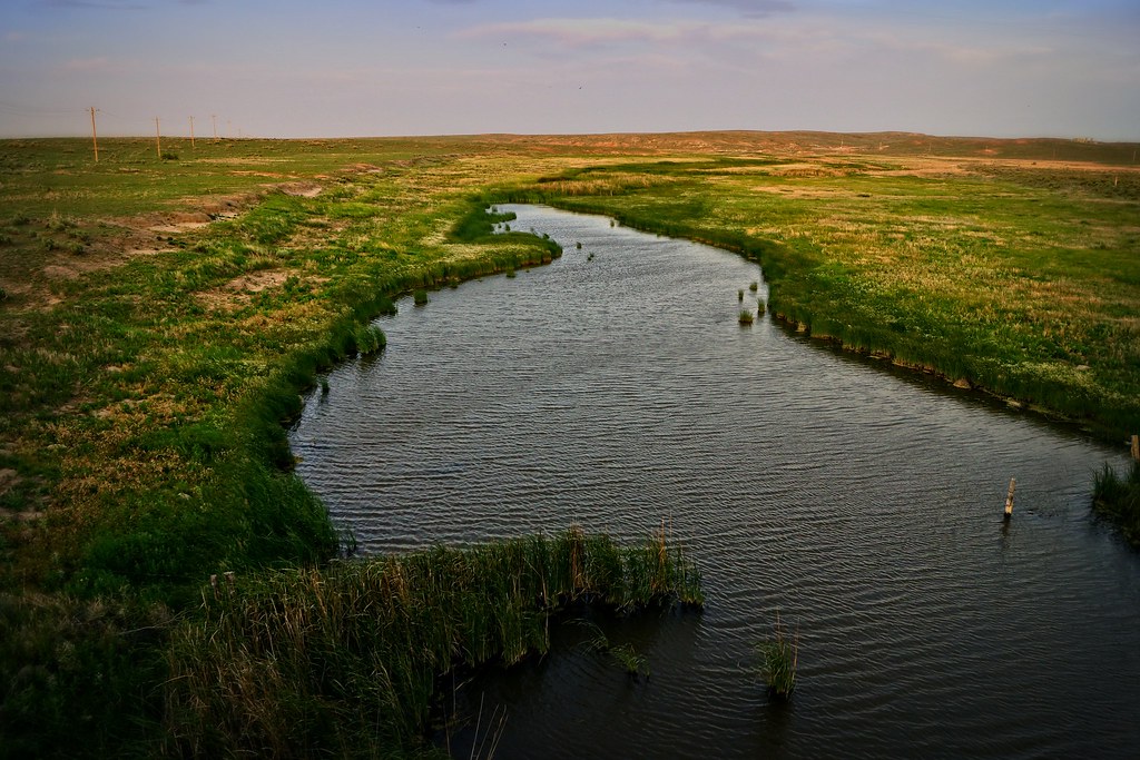
Oklahoma Pasture
Topographic Map of Goodwell, OK, USA
Find elevation by address:

Places in Goodwell, OK, USA:
Places near Goodwell, OK, USA:
Main St, Goodwell, OK, USA
Guymon
Texas County
Optima
Elkhart
Taloga
Morton County
Hugoton
Stevens County
Boise City
North Cimarron Avenue & East 5th
Co Rd 49, Walsh, CO, USA
Cimarron Heritage Center
Manter
Saunders
Cimarron County
Ulysses, KS, USA
Grant County
Walsh
Lincoln
Recent Searches:
- Elevation of Dharamkot Tahsil, Punjab, India
- Elevation of Bhinder Khurd, Dharamkot Tahsil, Punjab, India
- Elevation of 2881, Chabot Drive, San Bruno, San Mateo County, California, 94066, USA
- Elevation of 10370, West 107th Circle, Westminster, Jefferson County, Colorado, 80021, USA
- Elevation of 611, Roman Road, Old Ford, Bow, London, England, E3 2RW, United Kingdom
- Elevation of 116, Beartown Road, Underhill, Chittenden County, Vermont, 05489, USA
- Elevation of Window Rock, Colfax County, New Mexico, 87714, USA
- Elevation of 4807, Rosecroft Street, Kempsville Gardens, Virginia Beach, Virginia, 23464, USA
- Elevation map of Matawinie, Quebec, Canada
- Elevation of Sainte-Émélie-de-l'Énergie, Matawinie, Quebec, Canada
- Elevation of Rue du Pont, Sainte-Émélie-de-l'Énergie, Matawinie, Quebec, J0K2K0, Canada
- Elevation of 8, Rue de Bécancour, Blainville, Thérèse-De Blainville, Quebec, J7B1N2, Canada
- Elevation of Wilmot Court North, 163, University Avenue West, Northdale, Waterloo, Region of Waterloo, Ontario, N2L6B6, Canada
- Elevation map of Panamá Province, Panama
- Elevation of Balboa, Panamá Province, Panama
- Elevation of San Miguel, Balboa, Panamá Province, Panama
- Elevation of Isla Gibraleón, San Miguel, Balboa, Panamá Province, Panama
- Elevation of 4655, Krischke Road, Schulenburg, Fayette County, Texas, 78956, USA
- Elevation of Carnegie Avenue, Downtown Cleveland, Cleveland, Cuyahoga County, Ohio, 44115, USA
- Elevation of Walhonding, Coshocton County, Ohio, USA