Elevation map of Texas County, OK, USA
Location: United States > Oklahoma >
Longitude: -101.43391
Latitude: 36.8301318
Elevation: 953m / 3127feet
Barometric Pressure: 90KPa
Elevation Map:
Satellite Map:
Related Photos:

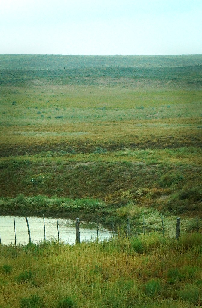
Fenced View

Winter Vision

Corn Strike
Light in the Panhandle

Star Bight

Last Weekend

Depth of Field

Past Holidays

The Land

Golden Hour

Oklahoma Still Life

Dark Within

Hope for the Future

From the Inside

Out in the Country
Misty Evening

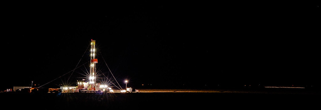
Alive at Night

Autumn Mood

From the Outside
Topographic Map of Texas County, OK, USA
Find elevation by address:

Places in Texas County, OK, USA:
Places near Texas County, OK, USA:
Optima
Guymon
Main St, Goodwell, OK, USA
Goodwell
Hugoton
Stevens County
Morton County
Elkhart
Taloga
Ulysses, KS, USA
Grant County
Lincoln
N Missouri St, Ulysses, KS, USA
Ulysses
Manter
Saunders
Co Rd 49, Walsh, CO, USA
Stanton County
Manter
Walsh
Recent Searches:
- Elevation of Corso Fratelli Cairoli, 35, Macerata MC, Italy
- Elevation of Tallevast Rd, Sarasota, FL, USA
- Elevation of 4th St E, Sonoma, CA, USA
- Elevation of Black Hollow Rd, Pennsdale, PA, USA
- Elevation of Oakland Ave, Williamsport, PA, USA
- Elevation of Pedrógão Grande, Portugal
- Elevation of Klee Dr, Martinsburg, WV, USA
- Elevation of Via Roma, Pieranica CR, Italy
- Elevation of Tavkvetili Mountain, Georgia
- Elevation of Hartfords Bluff Cir, Mt Pleasant, SC, USA