Elevation of Optima, OK, USA
Location: United States > Oklahoma > Texas County >
Longitude: -101.3562716
Latitude: 36.7583594
Elevation: 922m / 3025feet
Barometric Pressure: 0KPa
Related Photos:

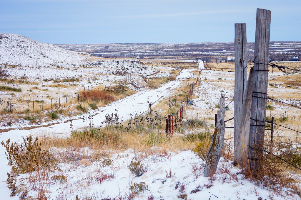
Fenced View

My view running today #snow #ice

The View

Higher Power
Winter Vision

Fury over Guymon

Grand Arrival

Fence forward

Spinning towards the Moon

Sunset Lane
Golden Hour
Light in the Panhandle

Lost Carnival

Last Weekend

Dark Within

Summer Eve

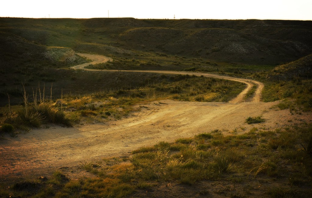
Road Goes

Rainbow Shyness

Out in the Country

Stormy Sunset

From the Inside

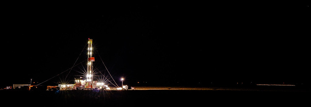
Alive at Night

Sweet Dreams
Topographic Map of Optima, OK, USA
Find elevation by address:

Places near Optima, OK, USA:
Texas County
Guymon
Main St, Goodwell, OK, USA
Goodwell
Hugoton
Stevens County
Morton County
Elkhart
Taloga
Ulysses, KS, USA
Grant County
Lincoln
N Missouri St, Ulysses, KS, USA
Ulysses
Manter
Stanton County
Saunders
Co Rd 49, Walsh, CO, USA
Manter
Walsh
Recent Searches:
- Elevation of Window Rock, Colfax County, New Mexico, 87714, USA
- Elevation of 4807, Rosecroft Street, Kempsville Gardens, Virginia Beach, Virginia, 23464, USA
- Elevation map of Matawinie, Quebec, Canada
- Elevation of Sainte-Émélie-de-l'Énergie, Matawinie, Quebec, Canada
- Elevation of Rue du Pont, Sainte-Émélie-de-l'Énergie, Matawinie, Quebec, J0K2K0, Canada
- Elevation of 8, Rue de Bécancour, Blainville, Thérèse-De Blainville, Quebec, J7B1N2, Canada
- Elevation of Wilmot Court North, 163, University Avenue West, Northdale, Waterloo, Region of Waterloo, Ontario, N2L6B6, Canada
- Elevation map of Panamá Province, Panama
- Elevation of Balboa, Panamá Province, Panama
- Elevation of San Miguel, Balboa, Panamá Province, Panama
- Elevation of Isla Gibraleón, San Miguel, Balboa, Panamá Province, Panama
- Elevation of 4655, Krischke Road, Schulenburg, Fayette County, Texas, 78956, USA
- Elevation of Carnegie Avenue, Downtown Cleveland, Cleveland, Cuyahoga County, Ohio, 44115, USA
- Elevation of Walhonding, Coshocton County, Ohio, USA
- Elevation of Clifton Down, Clifton, Bristol, City of Bristol, England, BS8 3HU, United Kingdom
- Elevation map of Auvergne-Rhône-Alpes, France
- Elevation map of Upper Savoy, Auvergne-Rhône-Alpes, France
- Elevation of Chamonix-Mont-Blanc, Upper Savoy, Auvergne-Rhône-Alpes, France
- Elevation of 908, Northwood Drive, Bridge Field, Chesapeake, Virginia, 23322, USA
- Elevation map of Nagano Prefecture, Japan