Elevation map of Cimarron County, OK, USA
Location: United States > Oklahoma >
Longitude: -102.6216211
Latitude: 36.7936335
Elevation: 1314m / 4311feet
Barometric Pressure: 0KPa
Related Photos:

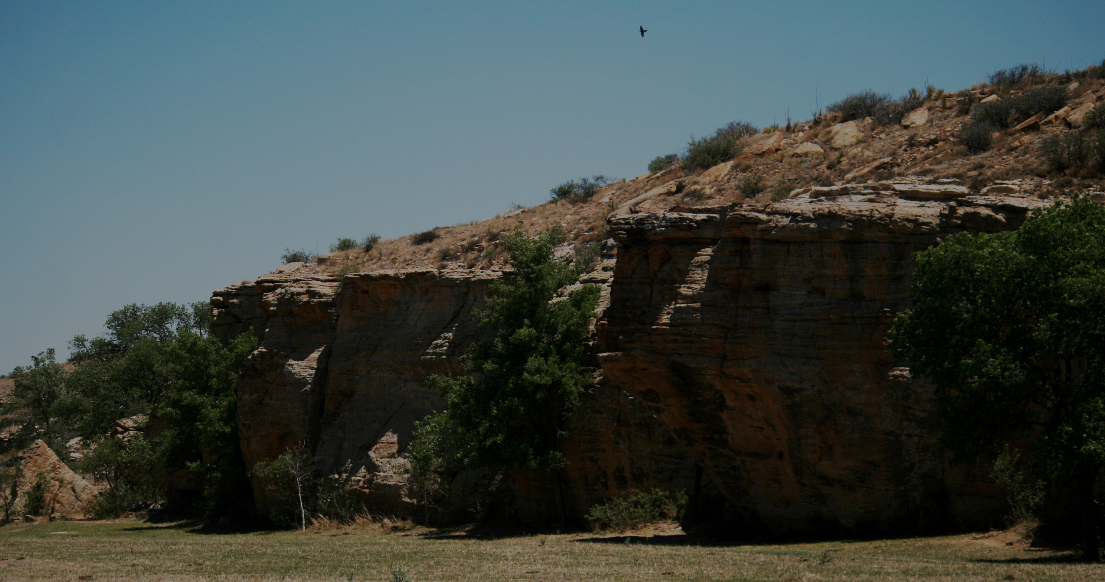
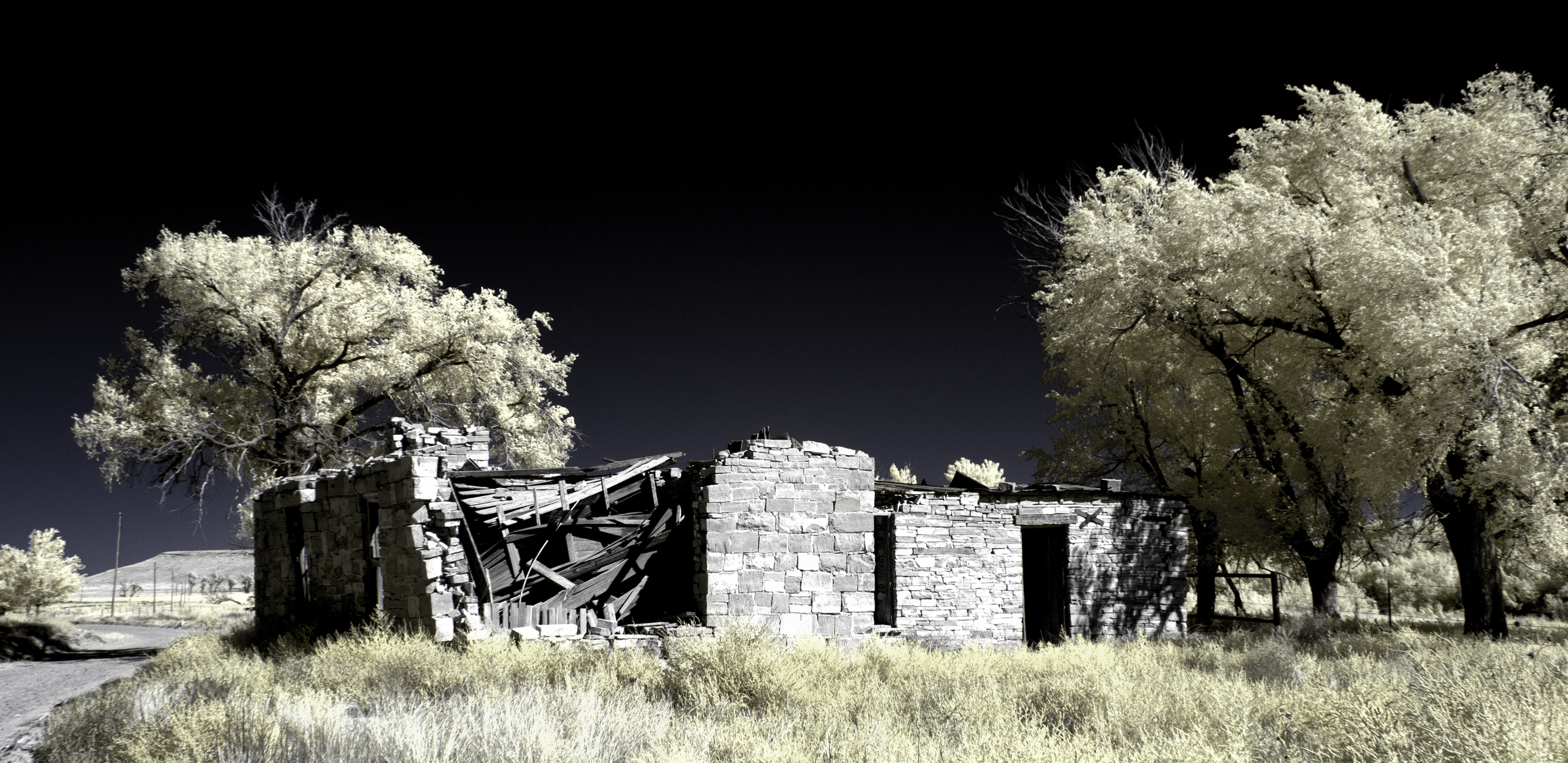
You shall not pass!

The Start of West Main...

Swift. #travel #ok #igok #boisecity #iphone #iger #iphoneonly #selfie #hwy287 #highplains

Rainstorm passing by the flatlands of the Oklahoma panhandle
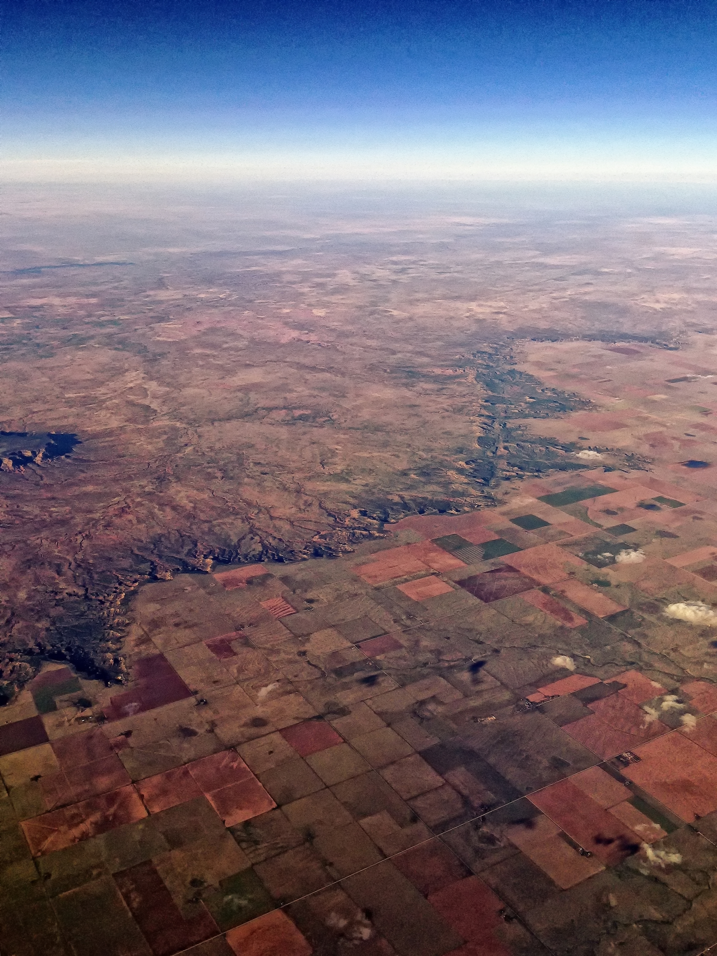
Where the wild country and the farmland meet

Summer08 7 005.jpg

Great Plains
Summer08 7 005.jpg
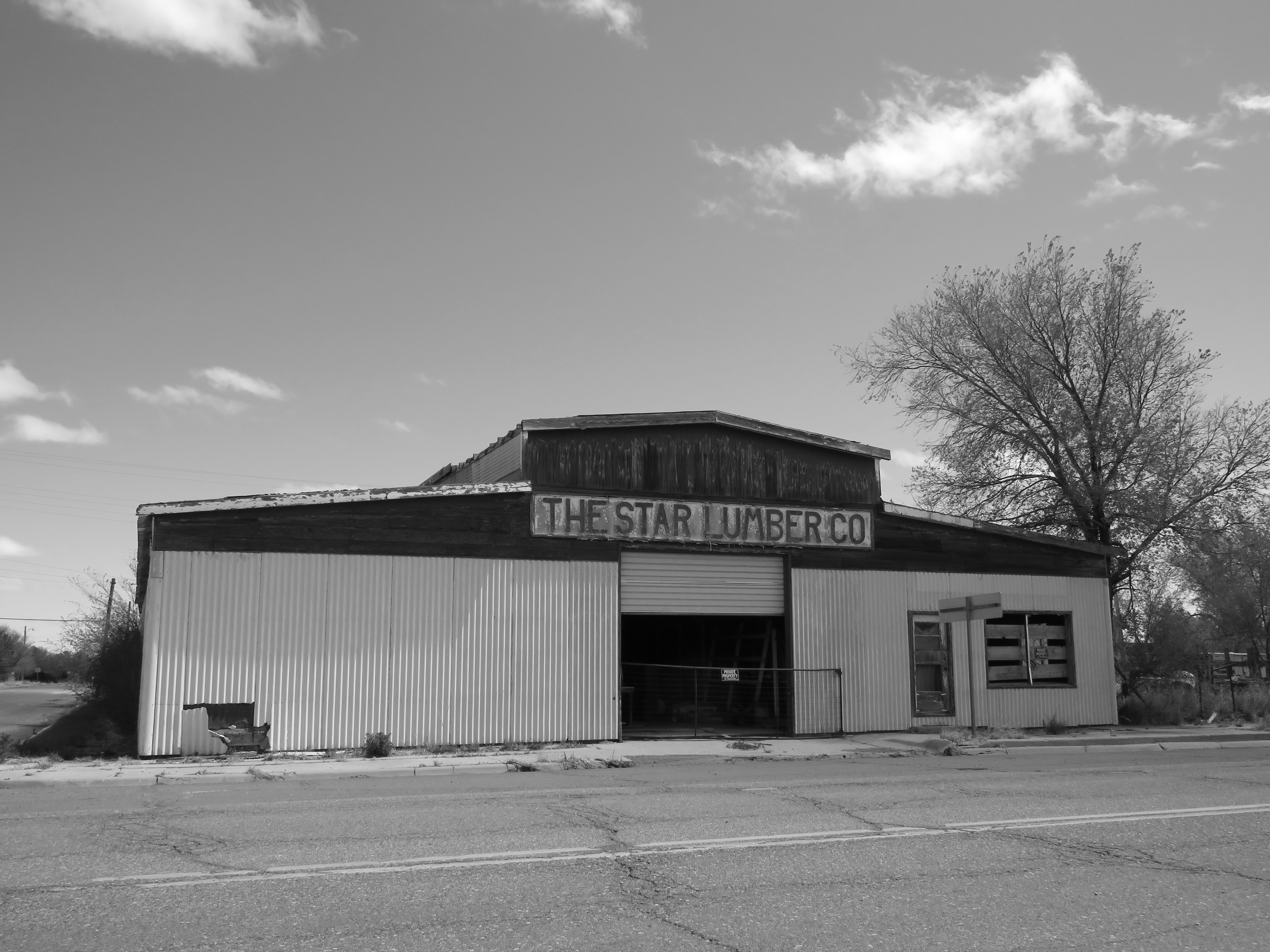
The Star Lumber Co.

Boise City Townsman
Bosie City Oklahoma, Cimarron County OK
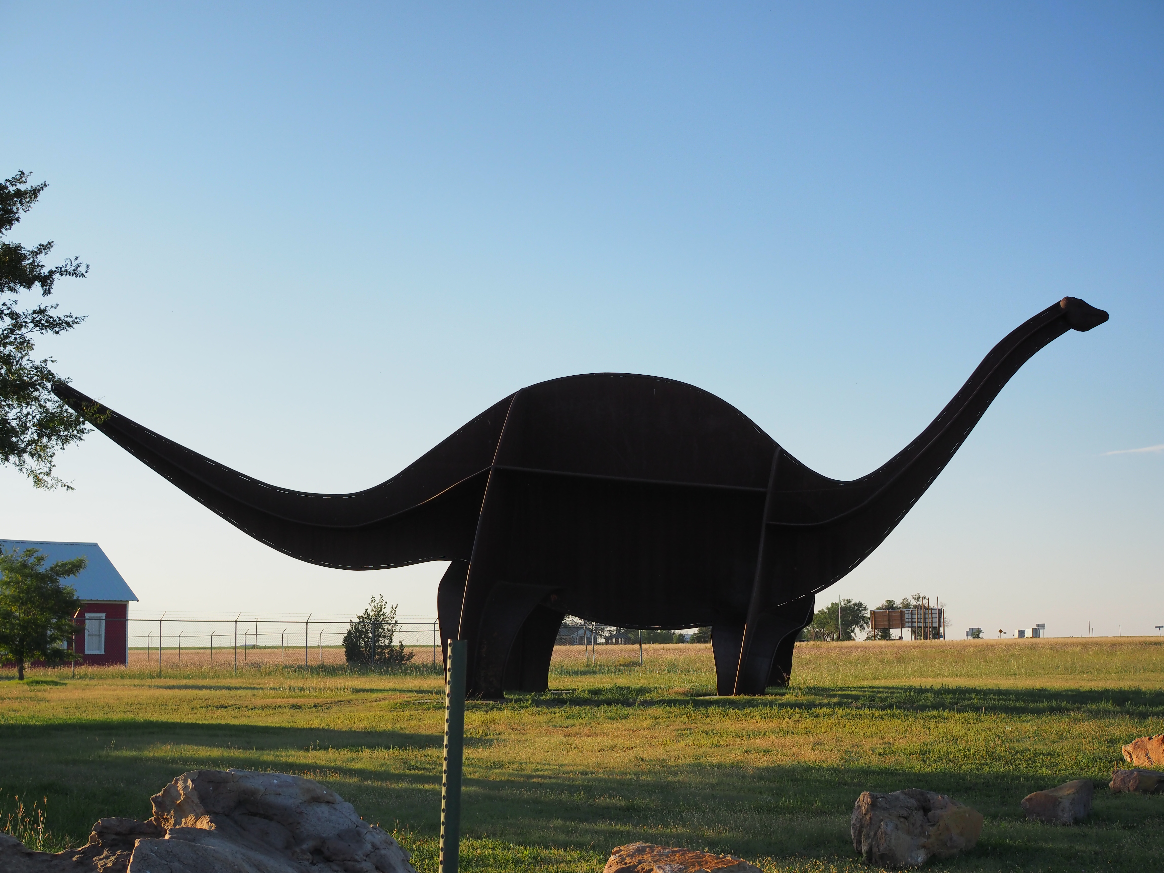
Boise City's Dinosaur

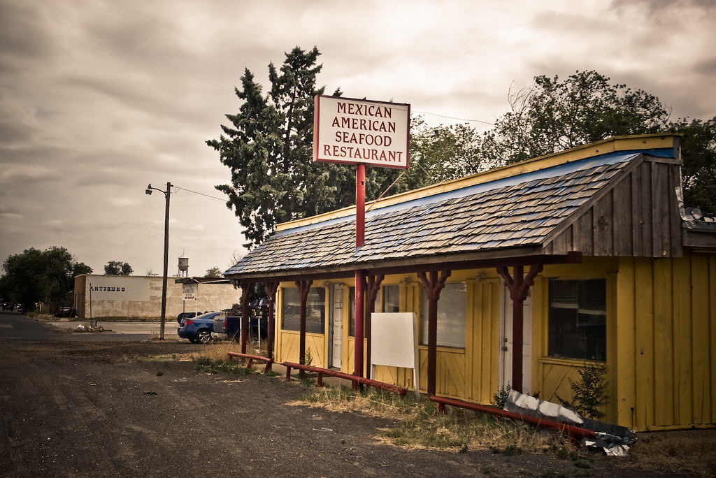
Rockin A Cafe
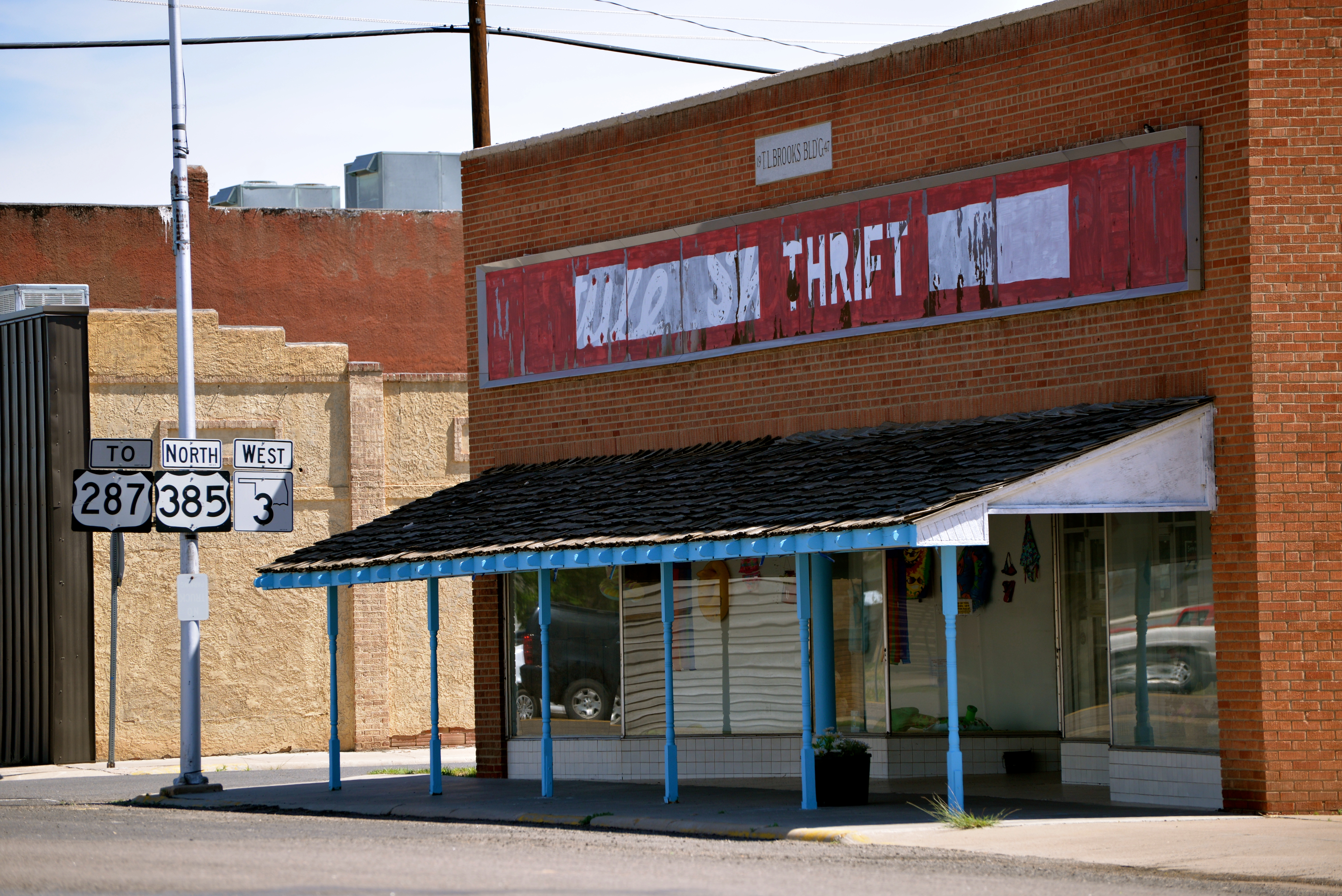
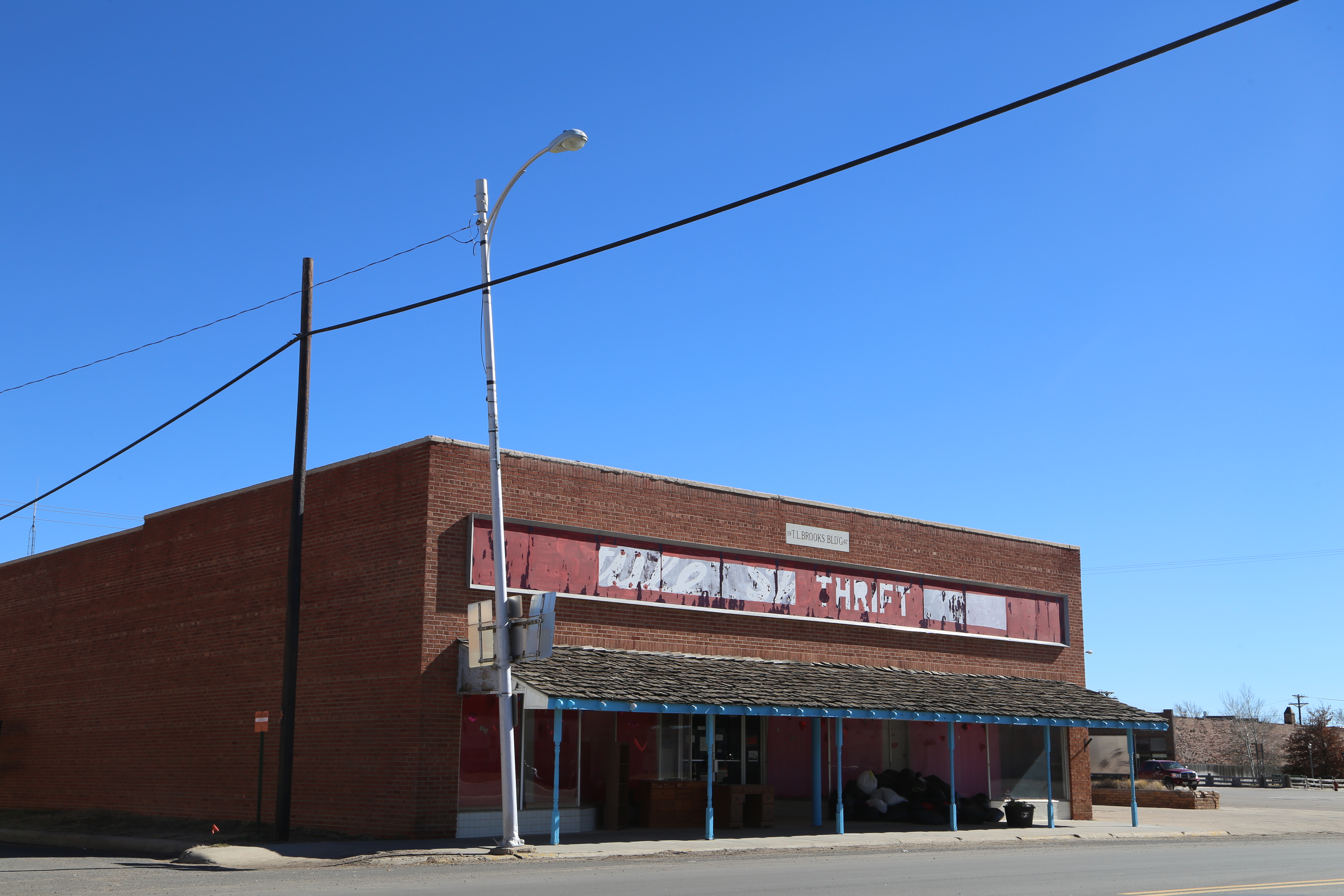
Brooks Building 1947

Ford Expedition Oklahoma Highway Patrol
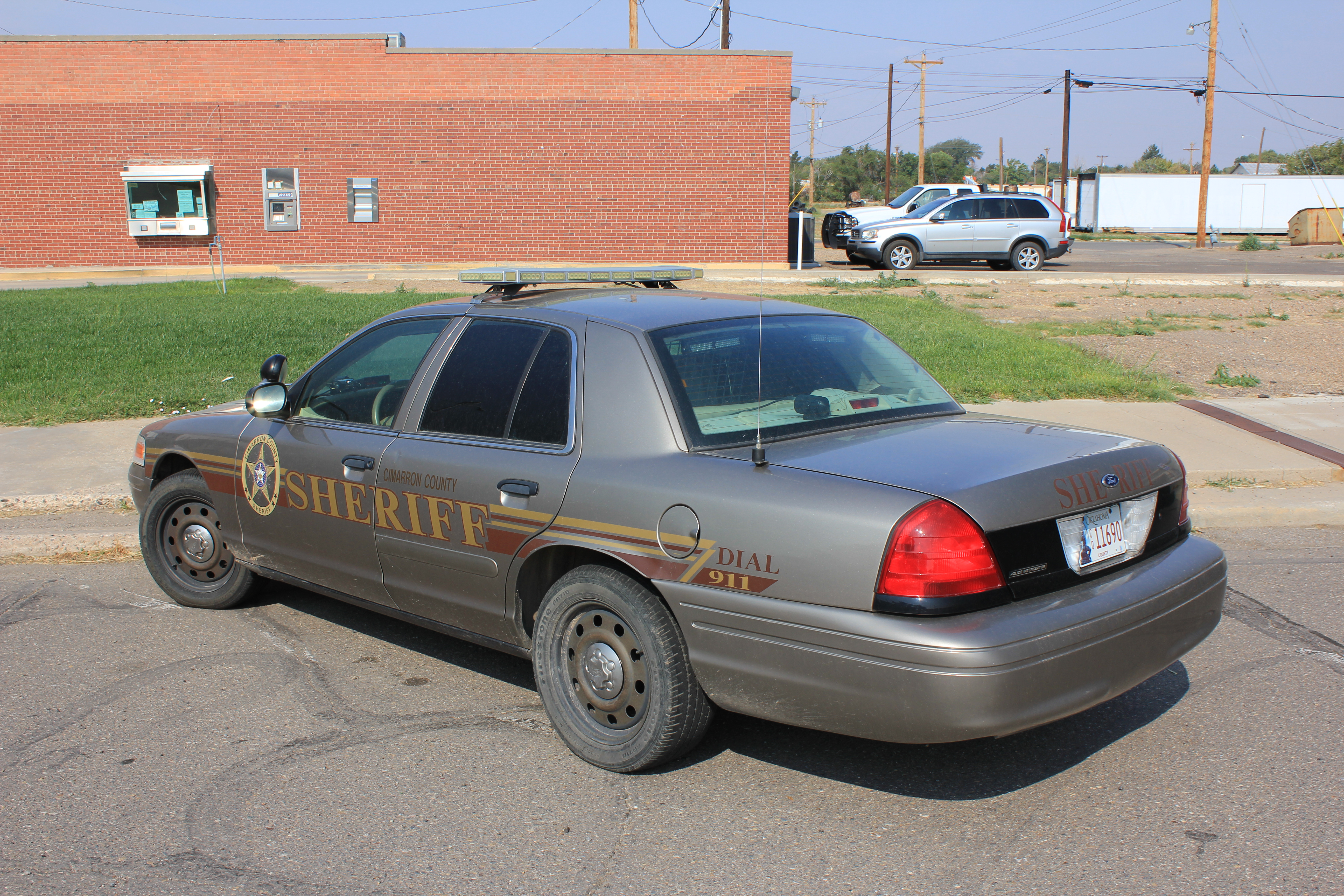
Ford Crown Cimarron County Sheriff, Oklahoma
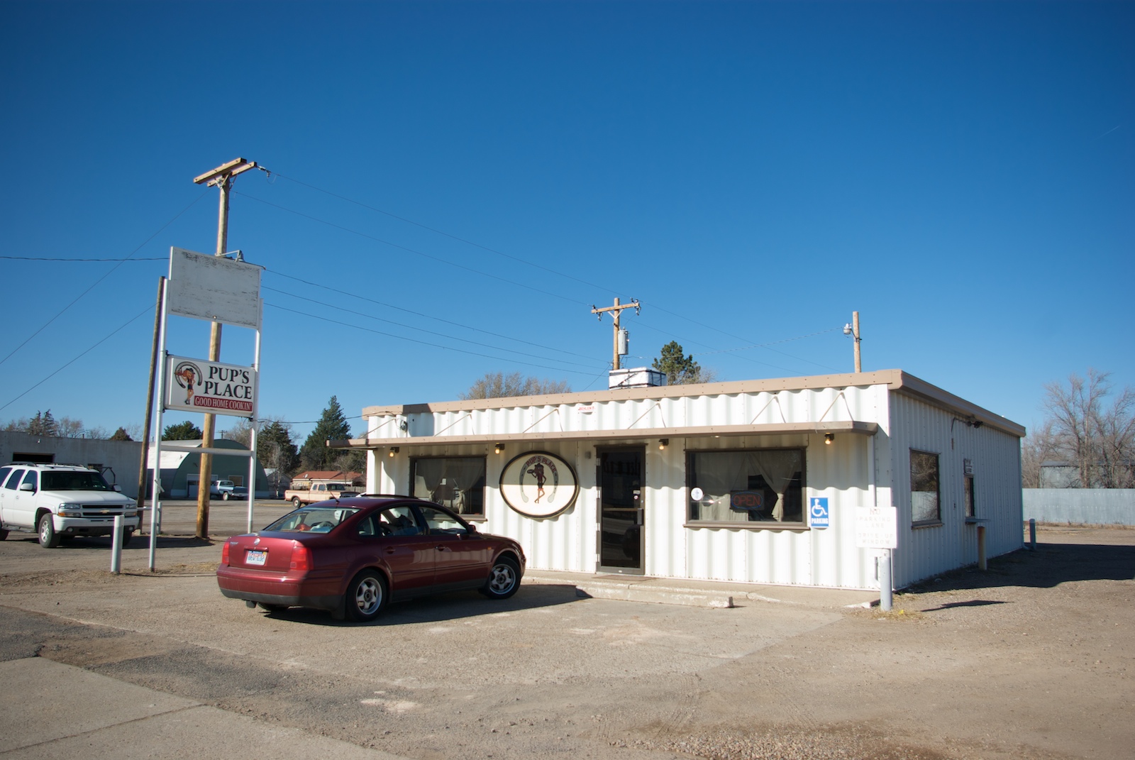
Pup's Place, Boise City, OK
yeah, we got that!
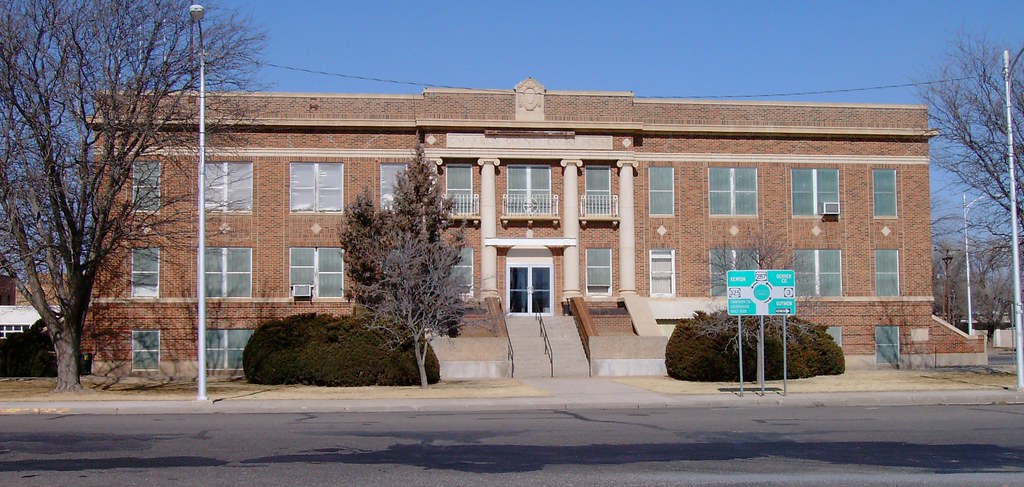
Cimarron County Courthouse (Boise City, Oklahoma)

Boise City Chamber of Commerce (Boise City, Oklahoma)
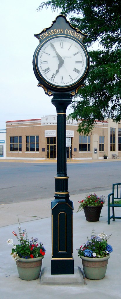
Cimarron County Centennial Clock (Boise City, Oklahoma)
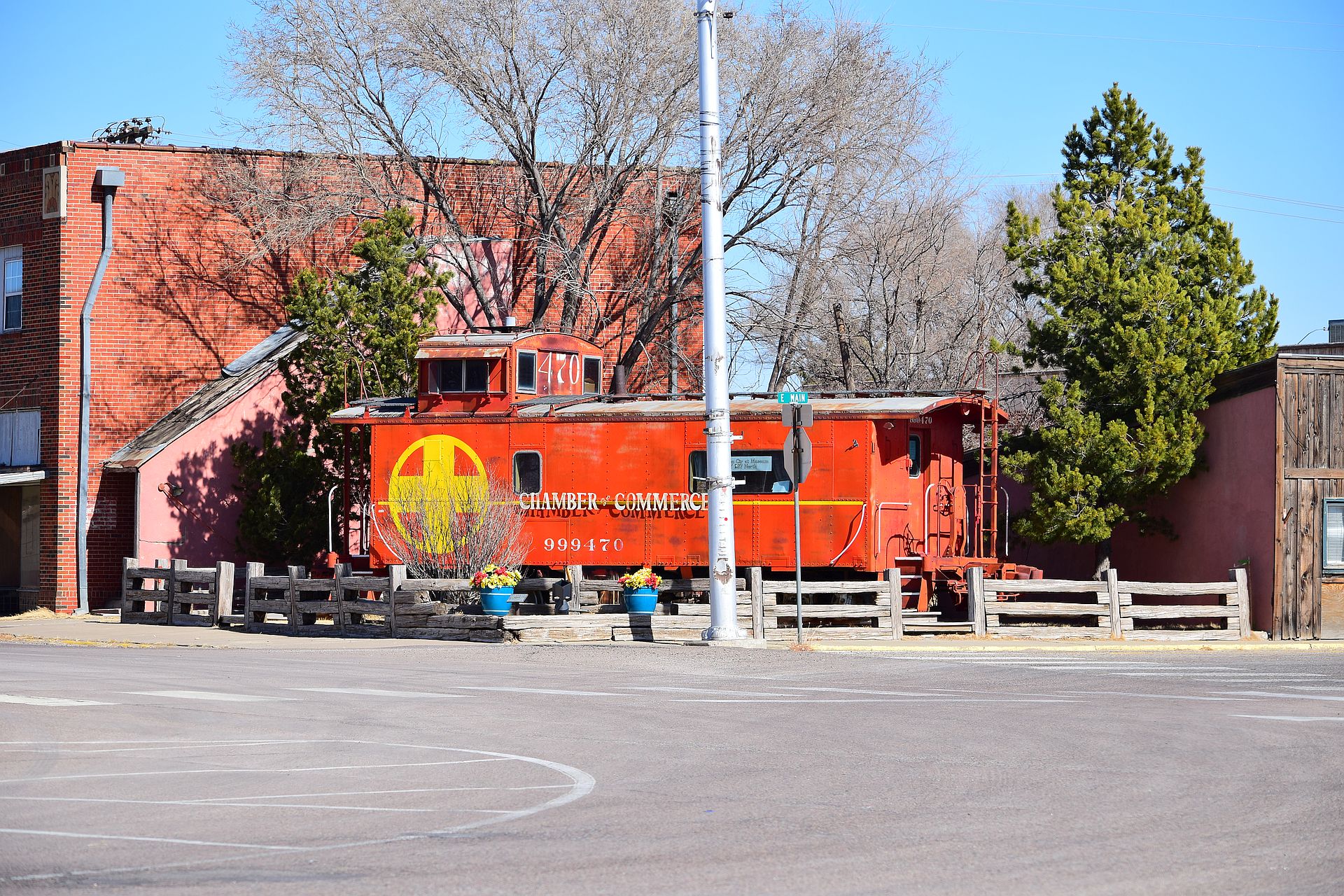
ATSF 999470

ATSF 999470

Cimarron County, Oklahoma
Cimarron County, Oklahoma

Coly's Foods (1 of 3)

Coly's Foods (3 of 3)
Topographic Map of Cimarron County, OK, USA
Find elevation by address:

Places in Cimarron County, OK, USA:
Places near Cimarron County, OK, USA:
Cimarron Heritage Center
North Cimarron Avenue & East 5th
Boise City
Campo
26672 Main St
26672 Main St
Baca County
Springfield
Co Rd 49, Walsh, CO, USA
Walsh
Elkhart
Two Buttes
Main St, Two Buttes, CO, USA
Taloga
Morton County
Saunders
Goodwell
Main St, Goodwell, OK, USA
Manter
Manter
Recent Searches:
- Elevation of 8, Rue de Bécancour, Blainville, Thérèse-De Blainville, Quebec, J7B1N2, Canada
- Elevation of Wilmot Court North, 163, University Avenue West, Northdale, Waterloo, Region of Waterloo, Ontario, N2L6B6, Canada
- Elevation map of Panamá Province, Panama
- Elevation of Balboa, Panamá Province, Panama
- Elevation of San Miguel, Balboa, Panamá Province, Panama
- Elevation of Isla Gibraleón, San Miguel, Balboa, Panamá Province, Panama
- Elevation of 4655, Krischke Road, Schulenburg, Fayette County, Texas, 78956, USA
- Elevation of Carnegie Avenue, Downtown Cleveland, Cleveland, Cuyahoga County, Ohio, 44115, USA
- Elevation of Walhonding, Coshocton County, Ohio, USA
- Elevation of Clifton Down, Clifton, Bristol, City of Bristol, England, BS8 3HU, United Kingdom
- Elevation map of Auvergne-Rhône-Alpes, France
- Elevation map of Upper Savoy, Auvergne-Rhône-Alpes, France
- Elevation of Chamonix-Mont-Blanc, Upper Savoy, Auvergne-Rhône-Alpes, France
- Elevation of 908, Northwood Drive, Bridge Field, Chesapeake, Virginia, 23322, USA
- Elevation map of Nagano Prefecture, Japan
- Elevation of 587, Bascule Drive, Oakdale, Stanislaus County, California, 95361, USA
- Elevation of Stadion Wankdorf, Sempachstrasse, Breitfeld, Bern, Bern-Mittelland administrative district, Bern, 3014, Switzerland
- Elevation of Z024, 76, Emil-von-Behring-Straße, Marbach, Marburg, Landkreis Marburg-Biedenkopf, Hesse, 35041, Germany
- Elevation of Gaskill Road, Hunts Cross, Liverpool, England, L24 9PH, United Kingdom
- Elevation of Speke, Liverpool, England, L24 9HD, United Kingdom