Elevation of Glenns Ferry, ID, USA
| Latitude | 42.9548989 |
|---|---|
| Longitude | -115.3009037 |
| Elevation | 781m / 2562feet |
| Barometric Pressure | 923KPa |
Related Photos:
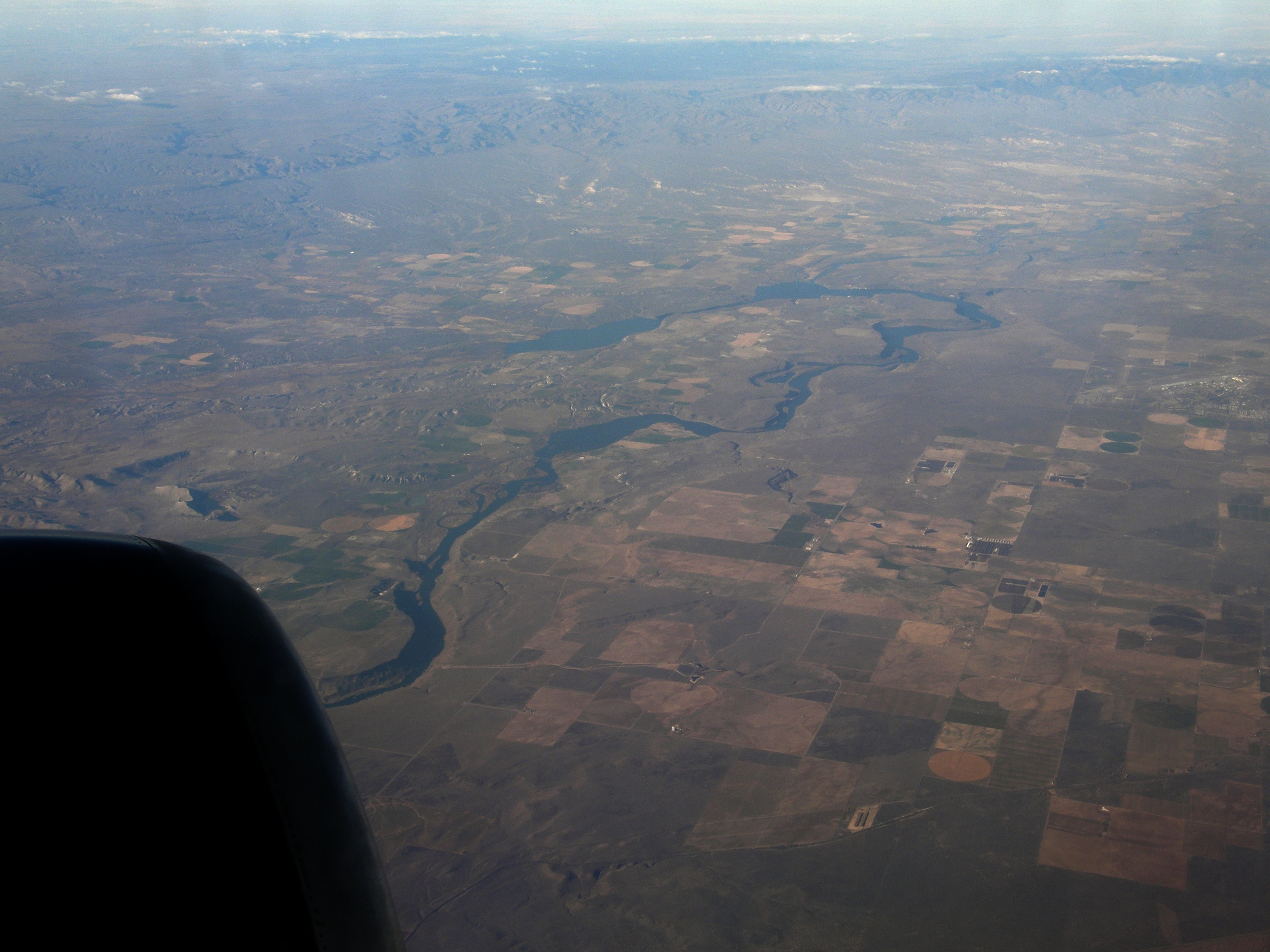
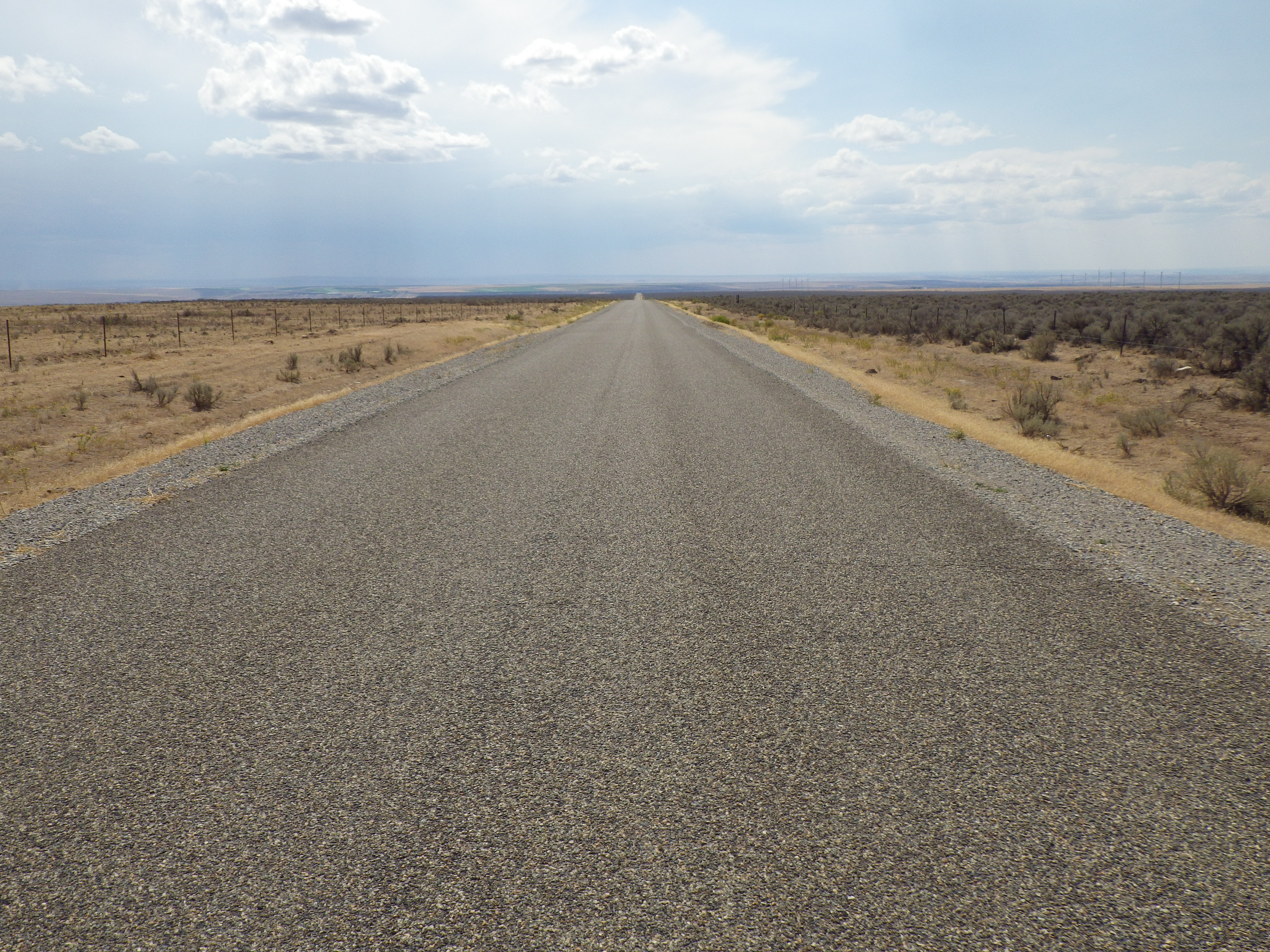
#3124 view from DL1857

My view when the trip odometer rolled to 3000
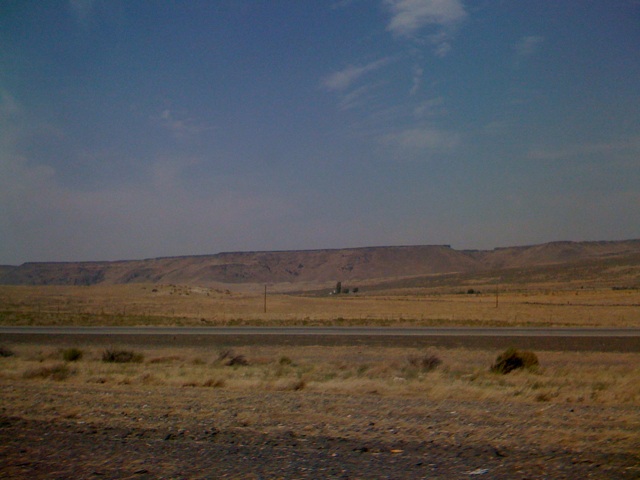
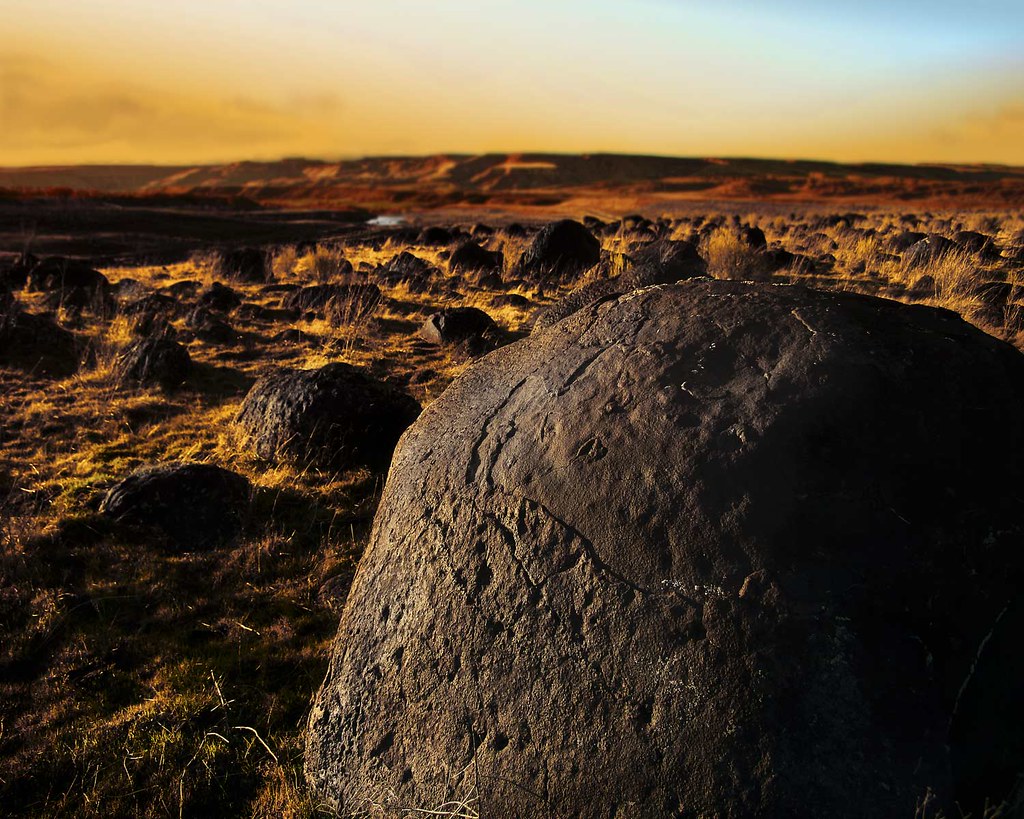
Chalk Cut, Aug 1, 2008
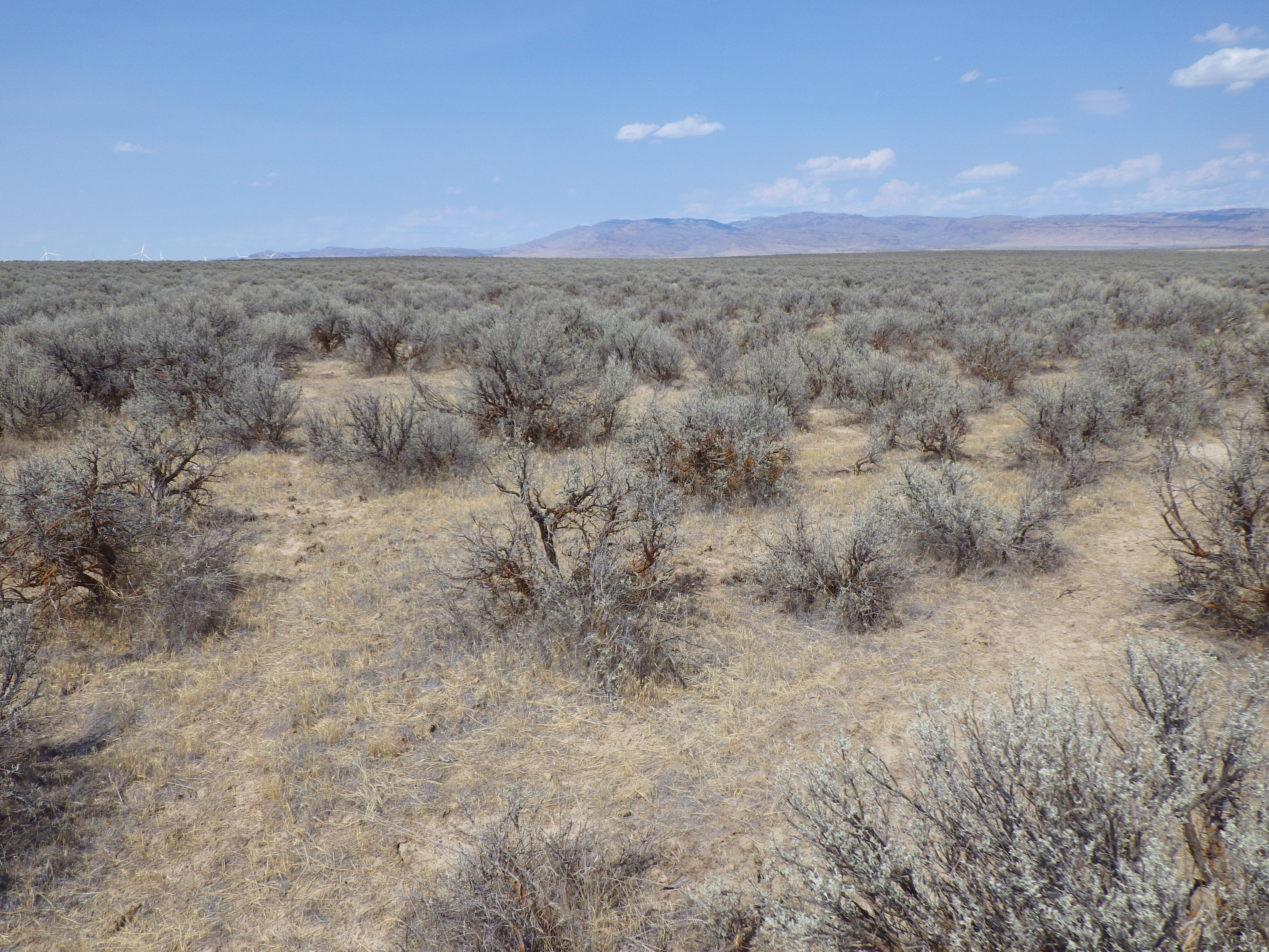
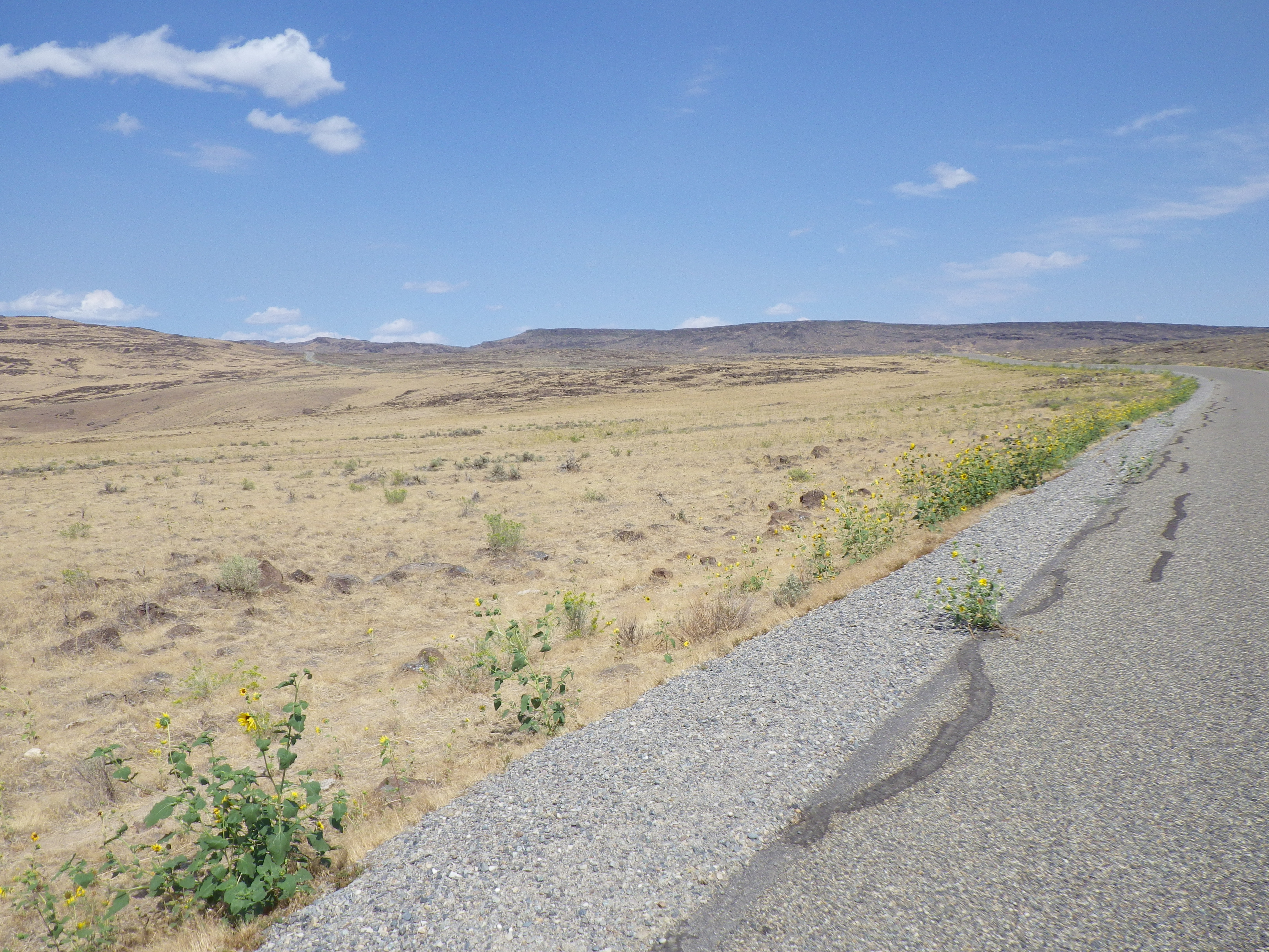
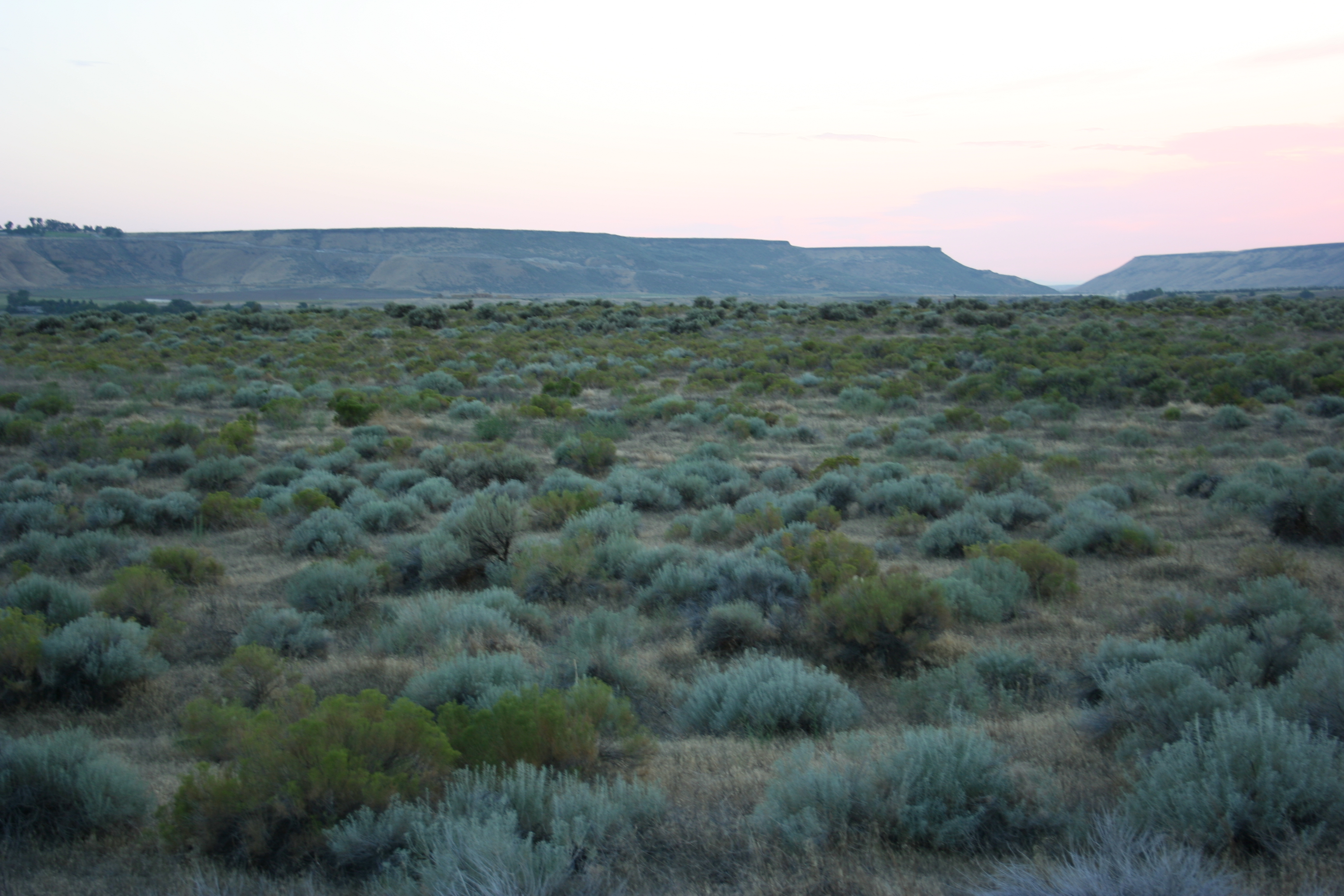
Bennett Mountain Road transect 11 (lower elevations, unburned sites)
Bennett Mountain Road transect 8 (lower elevations, unburned sites)
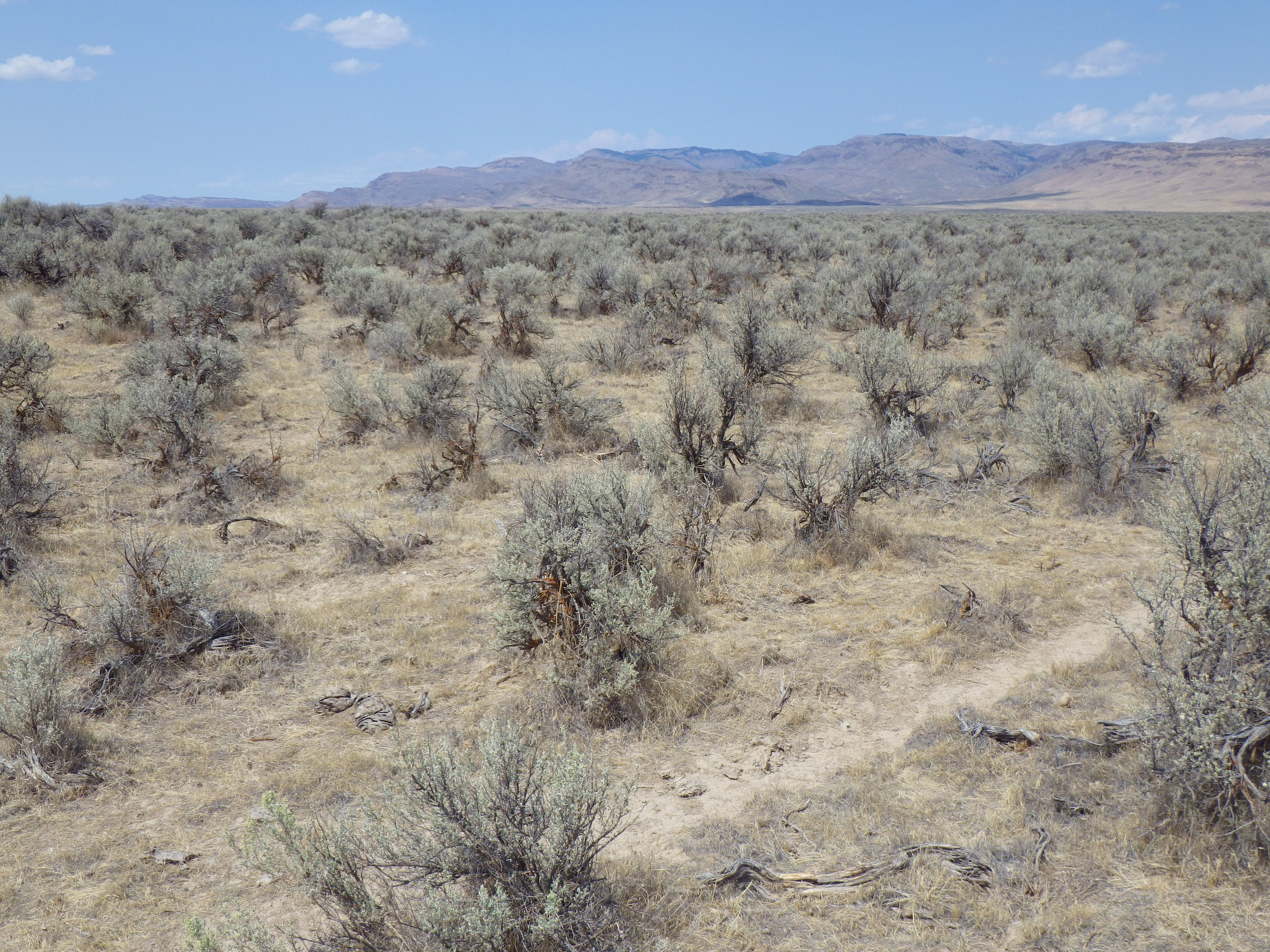
Bennett Mountain Road transect 9a (left) and 9b (right) (lower elevations, burned sites)
Bennett Mountain Road transect 7a (lower elevations, burned sites)
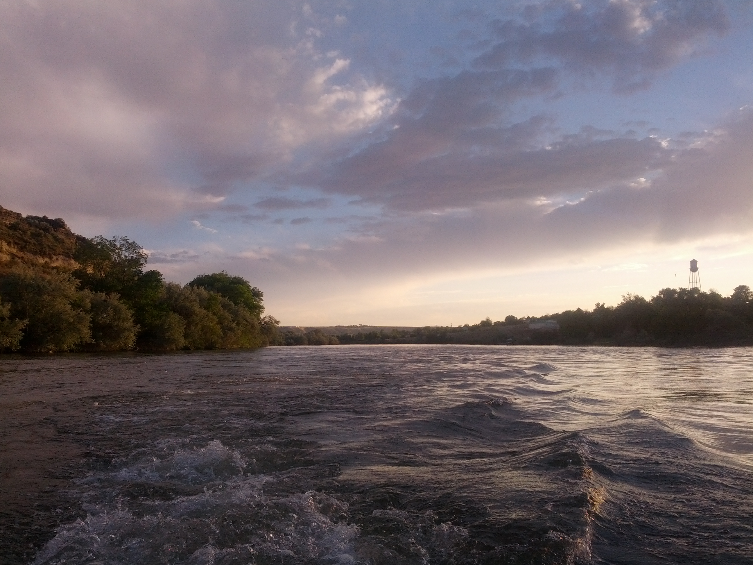
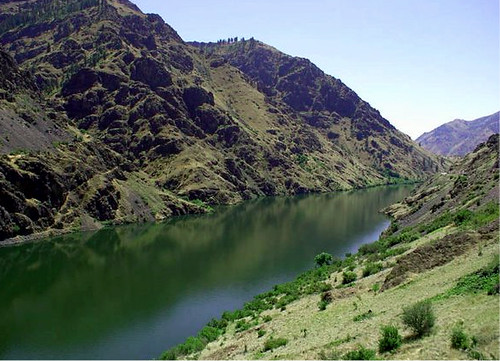
On the River
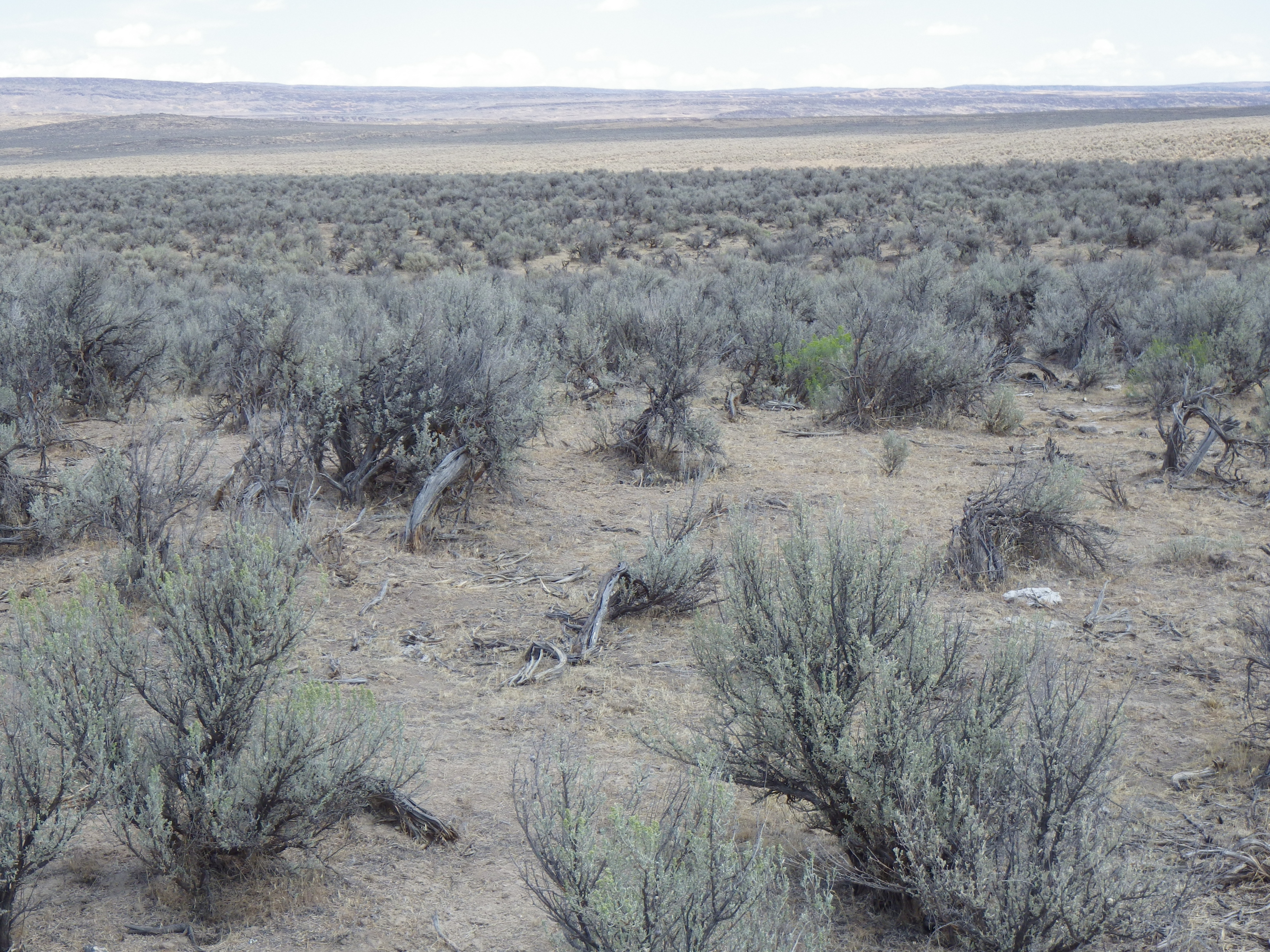
Bennett Mountain Road transect 9b (lower elevations, unburned sites)

Bennett Mountain Road transect 9b (lower elevations, unburned sites)
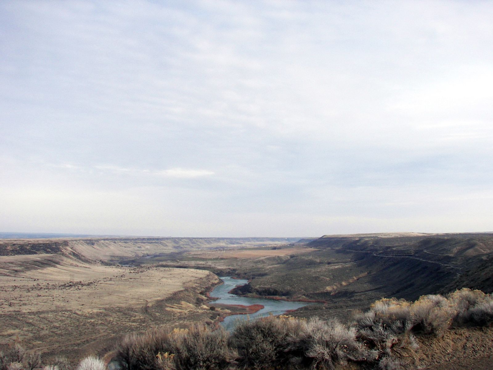
The Snake River in Mid Winter
Three Island Crossing State Park
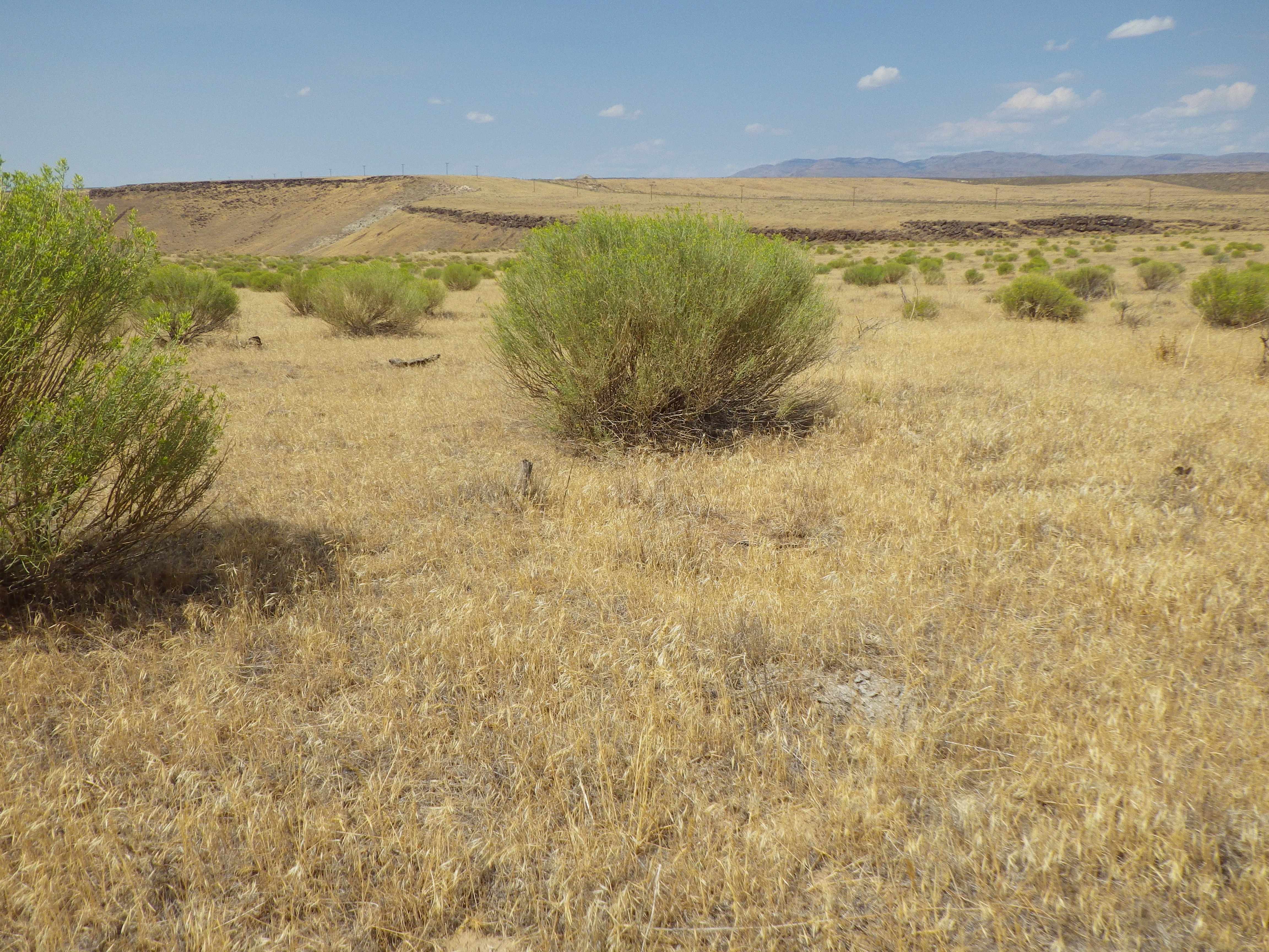
Bennett Mountain Road transect 12 (lower elevations, burned sites)
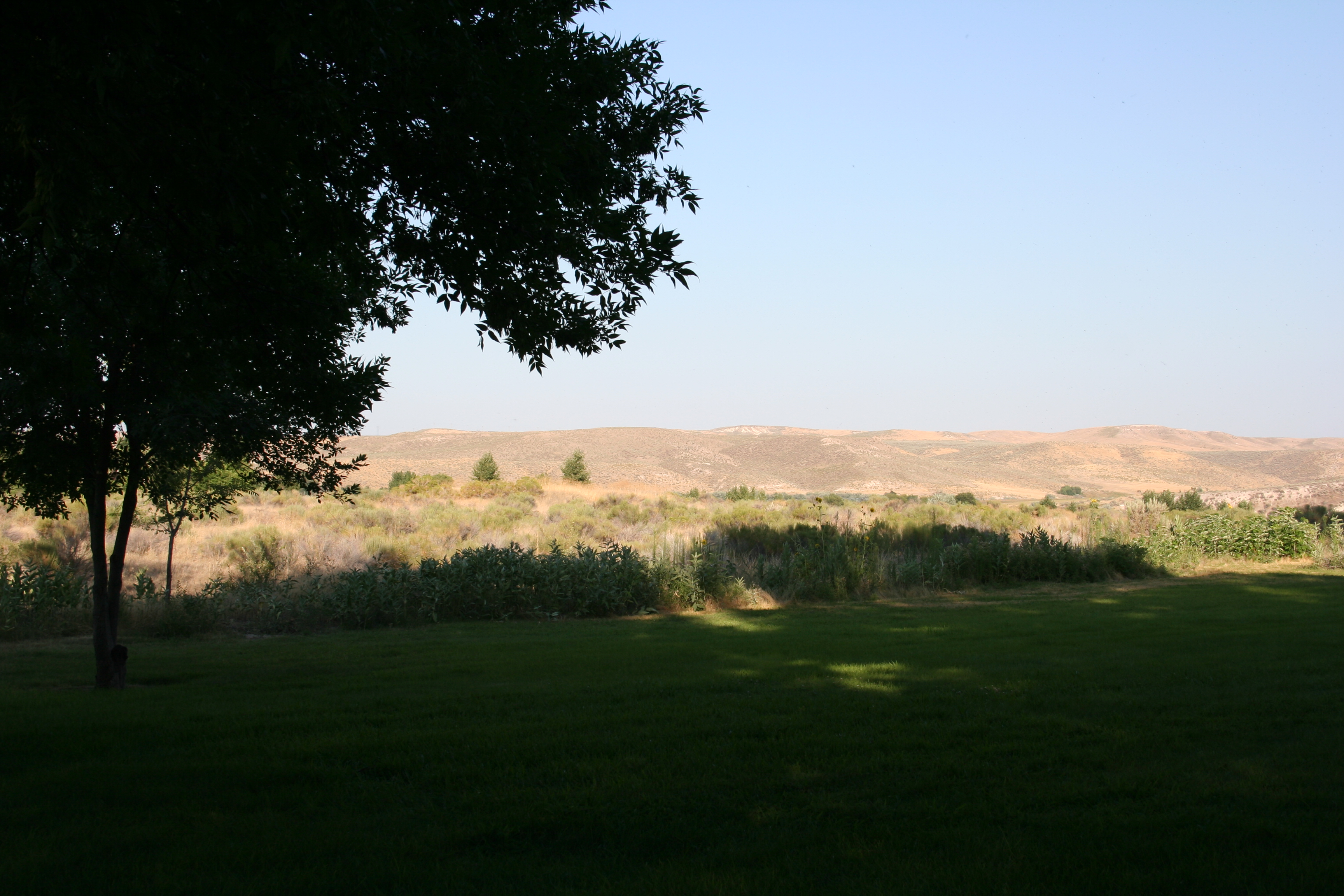
Three Island Crossing State Park
IdahoCouple needed for lodge located in Hells Canyon, on the Snake River in Idado.

Bennett Mountain Road transect 9a (lower elevations, burned sites)
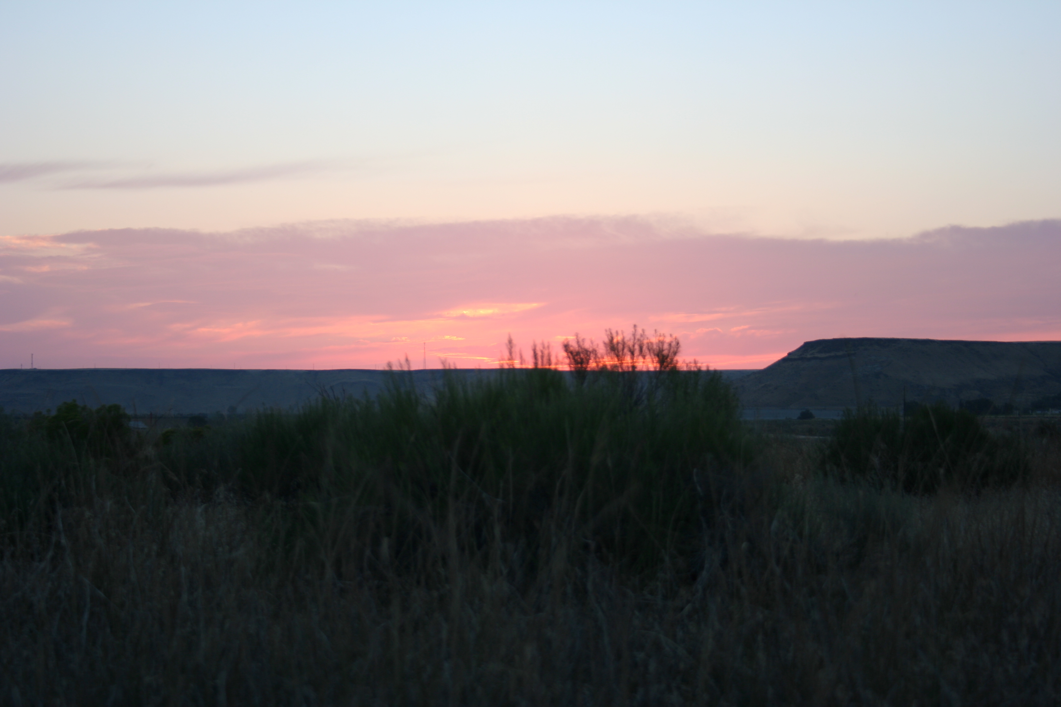
Canyon Rim
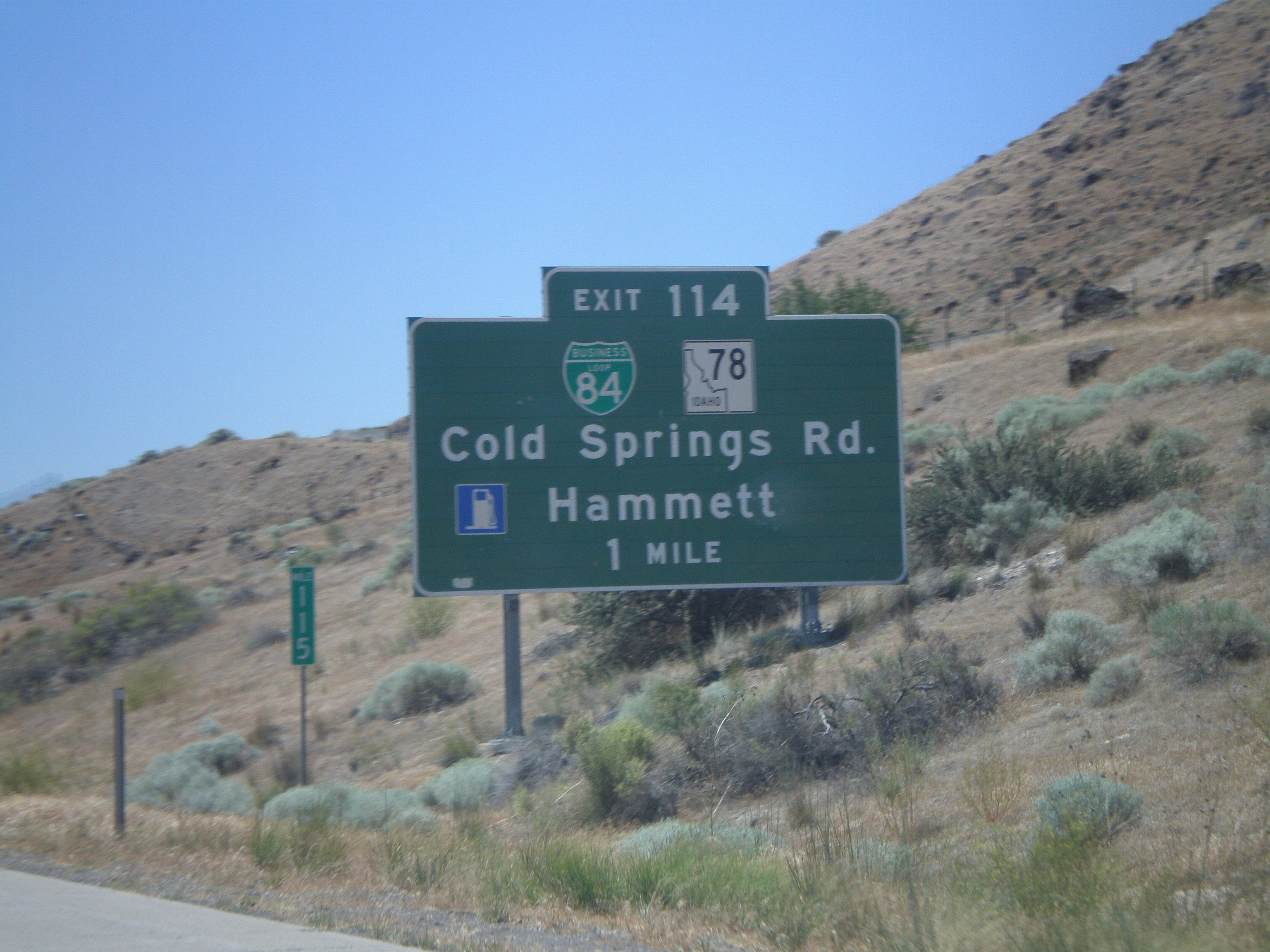
I-84 West Exit 114
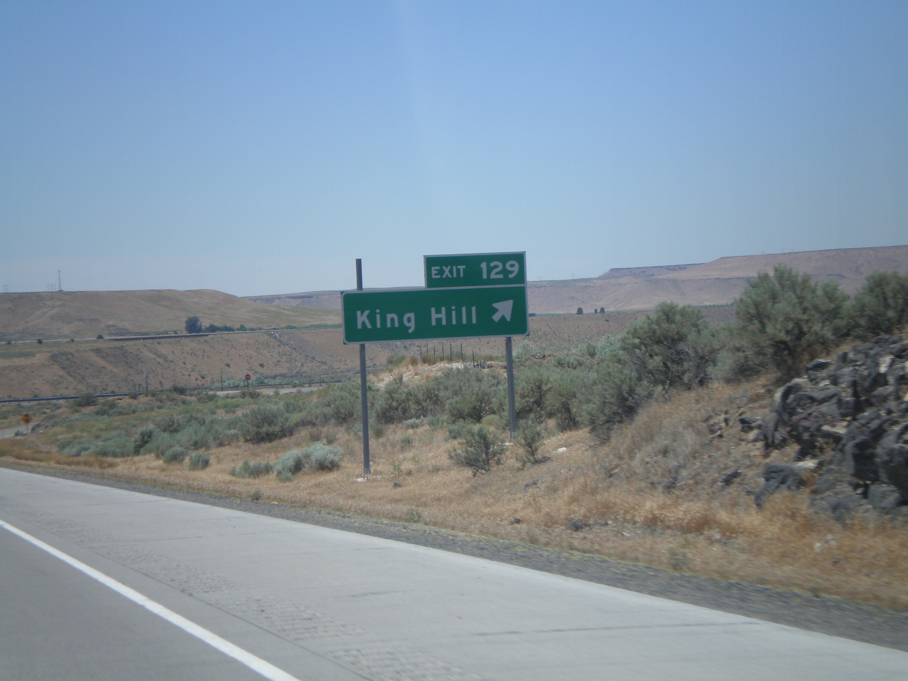
I-84 West Exit 129
Three Island Crossing State Park
Three Island Crossing State Park
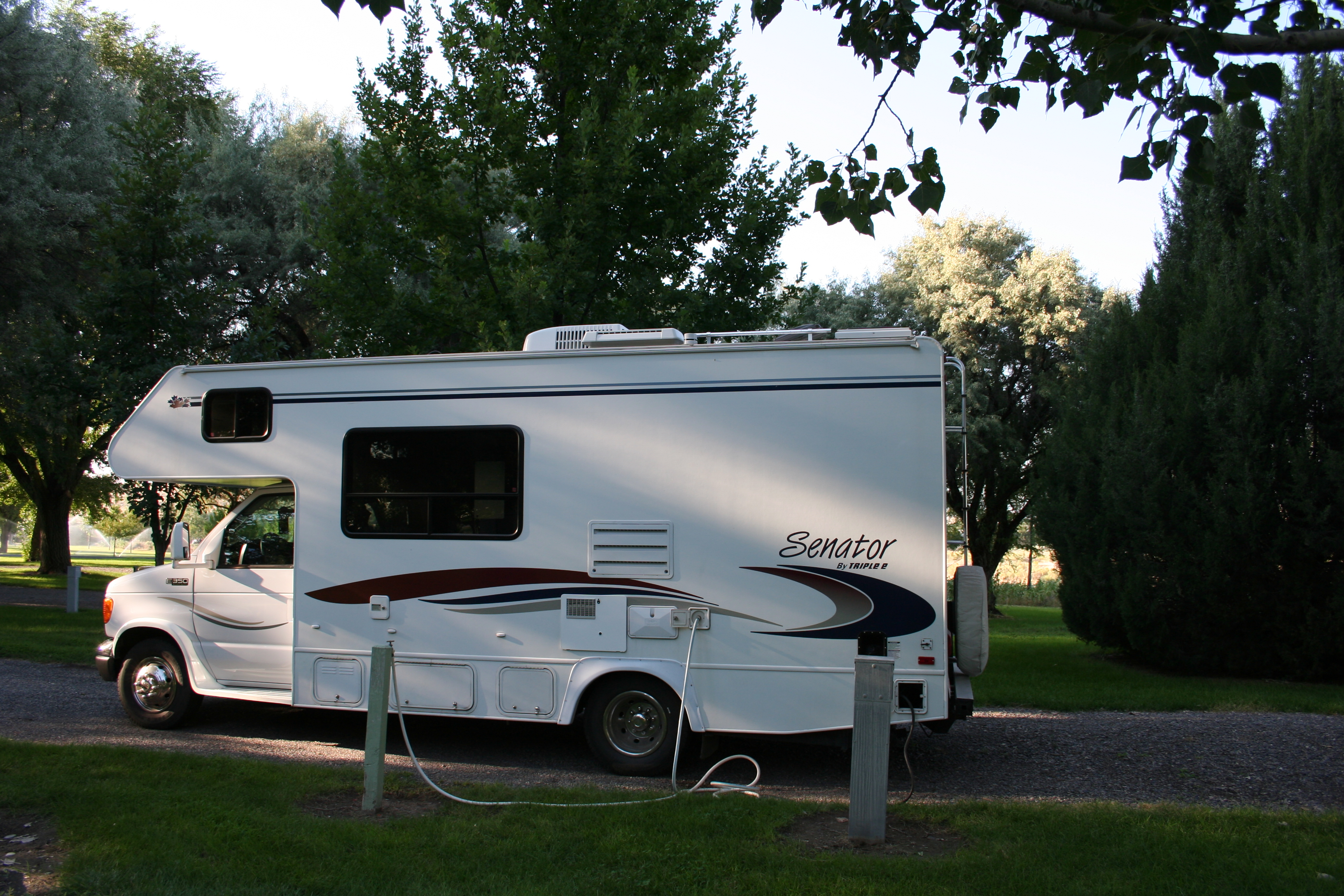
Three Island Crossing State Park

Idaho-April-2004-009
Topographic Map of Glenns Ferry, ID, USA
Find elevation by address:
Places in Glenns Ferry, ID, USA:
Places near Glenns Ferry, ID, USA:
38 E 1st Ave, Glenns Ferry, ID, USA
Kentucky St, Bliss, ID, USA
Bliss
Hagerman
Tupper Grde, Hagerman, ID, USA
Pine
12 N Pine-Featherville Rd, Mountain Home, ID, USA
Gooding County
1063 N Pine-featherville Rd
4524 N 1450 E
E N, Buhl, ID, USA
Gooding
E Paradise Dr, Mountain Home, ID, USA
Paradise Hot Springs
1382 River View Lane
3698 N 900 E
Castleford
E N, Castleford, ID, USA
Wendell
W Main St, Wendell, ID, USA
Recent Searches:
- Elevation of 104, Chancery Road, Middletown Township, Bucks County, Pennsylvania, 19047, USA
- Elevation of 1212, Cypress Lane, Dayton, Liberty County, Texas, 77535, USA
- Elevation map of Central Hungary, Hungary
- Elevation map of Pest, Central Hungary, Hungary
- Elevation of Pilisszentkereszt, Pest, Central Hungary, Hungary
- Elevation of Dharamkot Tahsil, Punjab, India
- Elevation of Bhinder Khurd, Dharamkot Tahsil, Punjab, India
- Elevation of 2881, Chabot Drive, San Bruno, San Mateo County, California, 94066, USA
- Elevation of 10370, West 107th Circle, Westminster, Jefferson County, Colorado, 80021, USA
- Elevation of 611, Roman Road, Old Ford, Bow, London, England, E3 2RW, United Kingdom
- Elevation of 116, Beartown Road, Underhill, Chittenden County, Vermont, 05489, USA
- Elevation of Window Rock, Colfax County, New Mexico, 87714, USA
- Elevation of 4807, Rosecroft Street, Kempsville Gardens, Virginia Beach, Virginia, 23464, USA
- Elevation map of Matawinie, Quebec, Canada
- Elevation of Sainte-Émélie-de-l'Énergie, Matawinie, Quebec, Canada
- Elevation of Rue du Pont, Sainte-Émélie-de-l'Énergie, Matawinie, Quebec, J0K2K0, Canada
- Elevation of 8, Rue de Bécancour, Blainville, Thérèse-De Blainville, Quebec, J7B1N2, Canada
- Elevation of Wilmot Court North, 163, University Avenue West, Northdale, Waterloo, Region of Waterloo, Ontario, N2L6B6, Canada
- Elevation map of Panamá Province, Panama
- Elevation of Balboa, Panamá Province, Panama