Elevation of E N, Castleford, ID, USA
Location: United States > Idaho > Twin Falls County > Castleford >
Longitude: -114.867887
Latitude: 42.521019
Elevation: 1179m / 3868feet
Barometric Pressure: 0KPa
Related Photos:

Photo May 20, 7 26 12 PM

Photo May 20, 7 27 40 PM

Photo May 20, 7 26 44 PM

Orange Blue
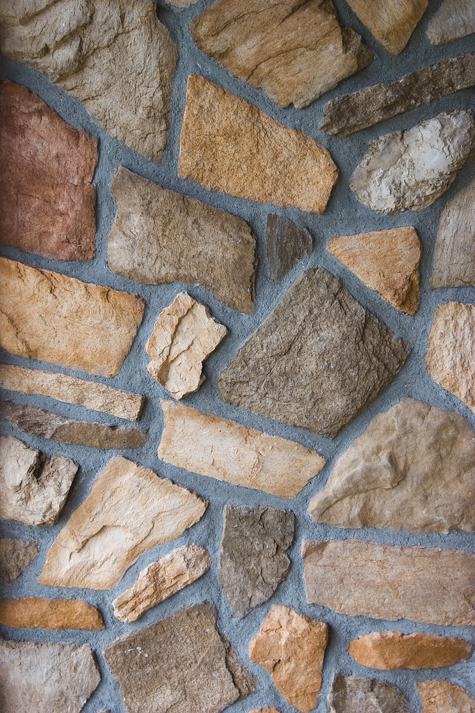
Stone Wall

Rocking Chair

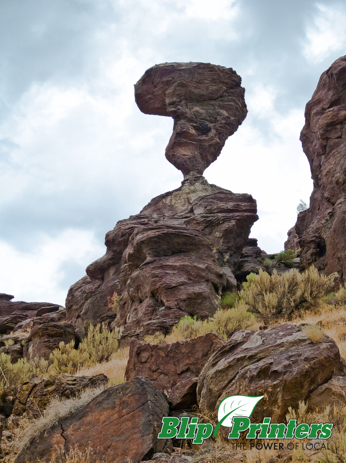
Balanced Rock Marker (Twin Falls County, Idaho)

2011-10-08 13.20.04

Canola Field - Buhl, Idaho - 2008
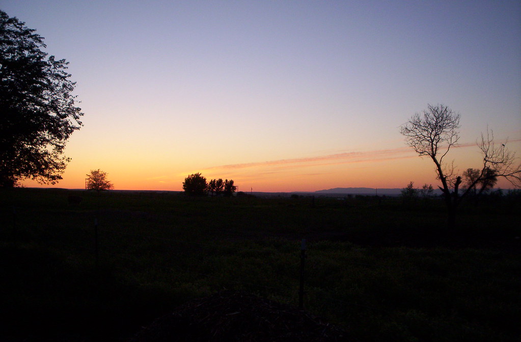
Country Sunset - Buhl, Idaho - 2005

Freshly cut hay

Canola Field - Buhl, Idaho - 2008

Sunflowers on a country road

Round Bales - Buhl, Idaho - 2009

Dead Wood - Buhl, Idaho - 2009

Summer Photowalk - Buhl, Idaho - 2010

photo 1-3
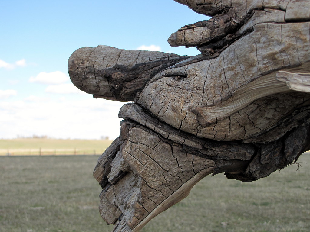
Dead Wood - Buhl, Idaho - 2009

Idaho: Balanced Rock

Balanced Rock

Struck Rocks
Weeeeeeeeeeeeeeeeee ;c)
P8227369.jpg
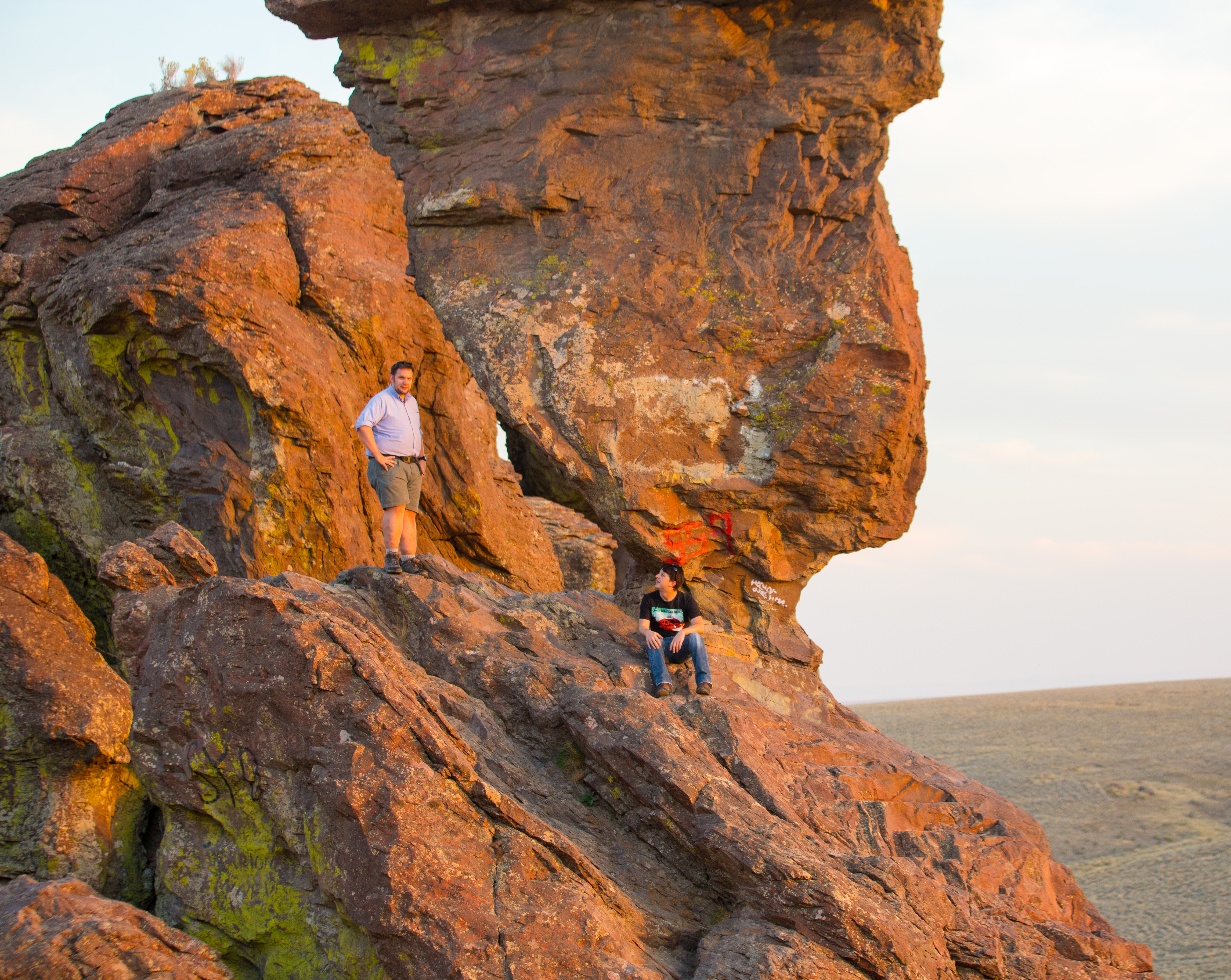
Matt and I
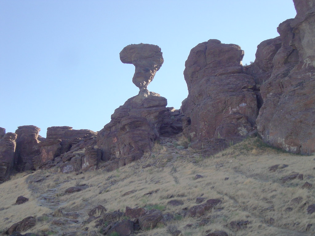
Balanced Rock (Twin Falls County, Idaho)

Balanced Rock (Twin Falls County, Idaho)

Chris and Matt
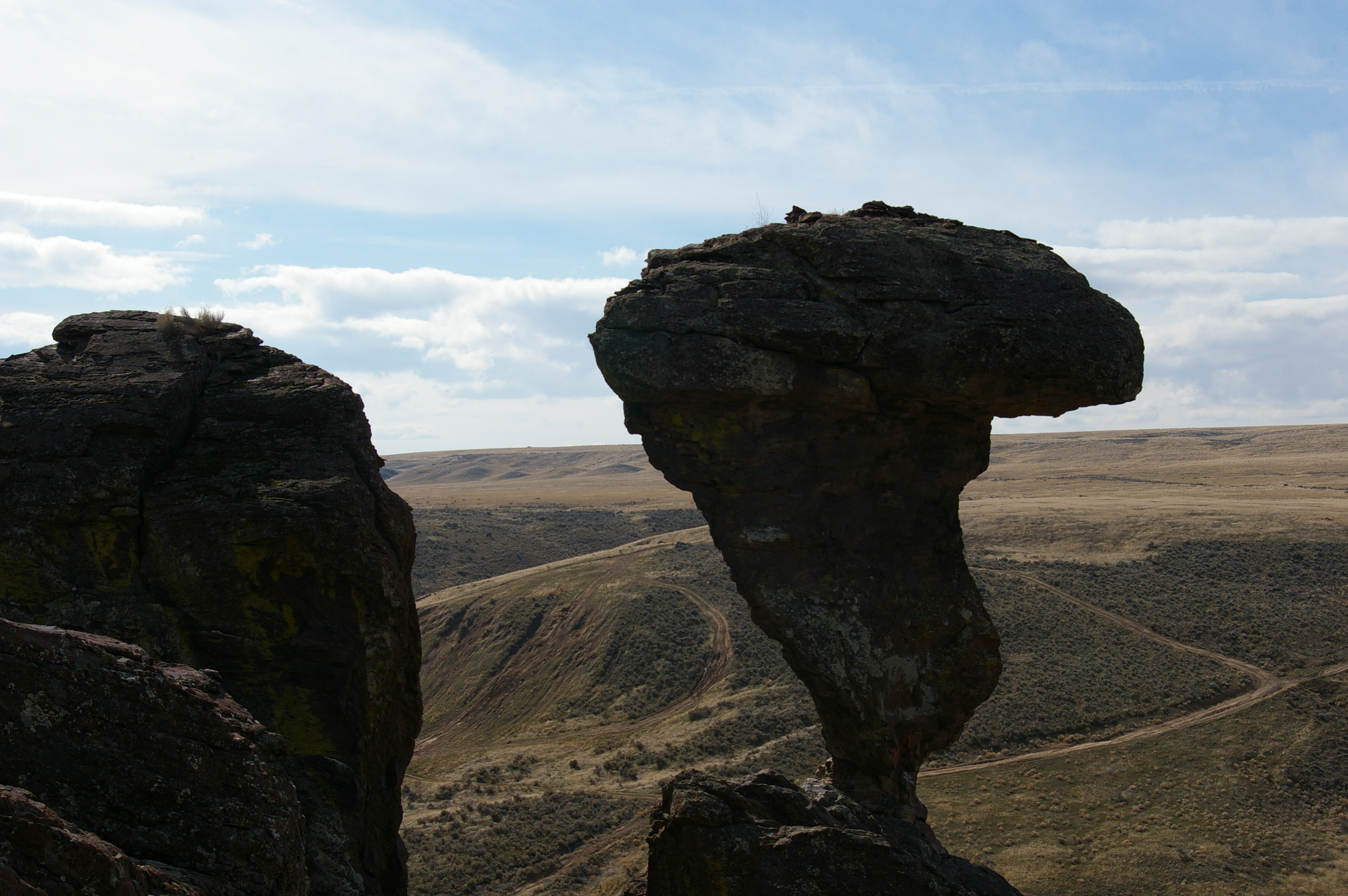
Balanced Rock - IMGP6974
Topographic Map of E N, Castleford, ID, USA
Find elevation by address:

Places near E N, Castleford, ID, USA:
Castleford
3698 N 900 E
E N, Buhl, ID, USA
4524 N 1450 E
Buhl
Main St, Buhl, ID, USA
4524 N 1450 E
1382 River View Lane
E N, Buhl, ID, USA
N E, Filer, ID, USA
1831b River Rd
804 Golden Spur Dr
Main St, Buhl, ID, USA
Filer
Twin Falls County
Tupper Grde, Hagerman, ID, USA
Hagerman
W Main St, Wendell, ID, USA
Wendell
N E Rd, Twin Falls, ID, USA
Recent Searches:
- Elevation of 116, Beartown Road, Underhill, Chittenden County, Vermont, 05489, USA
- Elevation of Window Rock, Colfax County, New Mexico, 87714, USA
- Elevation of 4807, Rosecroft Street, Kempsville Gardens, Virginia Beach, Virginia, 23464, USA
- Elevation map of Matawinie, Quebec, Canada
- Elevation of Sainte-Émélie-de-l'Énergie, Matawinie, Quebec, Canada
- Elevation of Rue du Pont, Sainte-Émélie-de-l'Énergie, Matawinie, Quebec, J0K2K0, Canada
- Elevation of 8, Rue de Bécancour, Blainville, Thérèse-De Blainville, Quebec, J7B1N2, Canada
- Elevation of Wilmot Court North, 163, University Avenue West, Northdale, Waterloo, Region of Waterloo, Ontario, N2L6B6, Canada
- Elevation map of Panamá Province, Panama
- Elevation of Balboa, Panamá Province, Panama
- Elevation of San Miguel, Balboa, Panamá Province, Panama
- Elevation of Isla Gibraleón, San Miguel, Balboa, Panamá Province, Panama
- Elevation of 4655, Krischke Road, Schulenburg, Fayette County, Texas, 78956, USA
- Elevation of Carnegie Avenue, Downtown Cleveland, Cleveland, Cuyahoga County, Ohio, 44115, USA
- Elevation of Walhonding, Coshocton County, Ohio, USA
- Elevation of Clifton Down, Clifton, Bristol, City of Bristol, England, BS8 3HU, United Kingdom
- Elevation map of Auvergne-Rhône-Alpes, France
- Elevation map of Upper Savoy, Auvergne-Rhône-Alpes, France
- Elevation of Chamonix-Mont-Blanc, Upper Savoy, Auvergne-Rhône-Alpes, France
- Elevation of 908, Northwood Drive, Bridge Field, Chesapeake, Virginia, 23322, USA