Elevation of Gooding County, ID, USA
Location: United States > Idaho >
Longitude: -114.74943
Latitude: 42.9180557
Elevation: 1120m / 3675feet
Barometric Pressure: 89KPa
Elevation Map:
Satellite Map:
Related Photos:
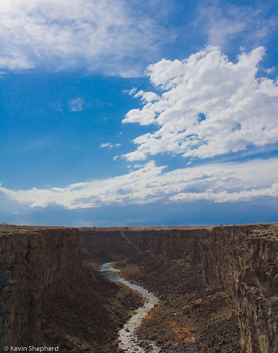
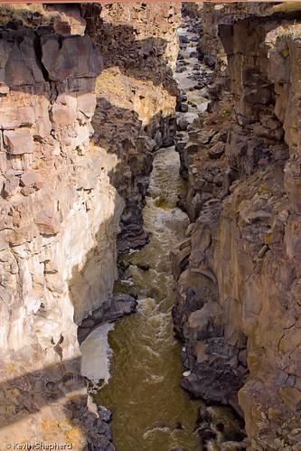
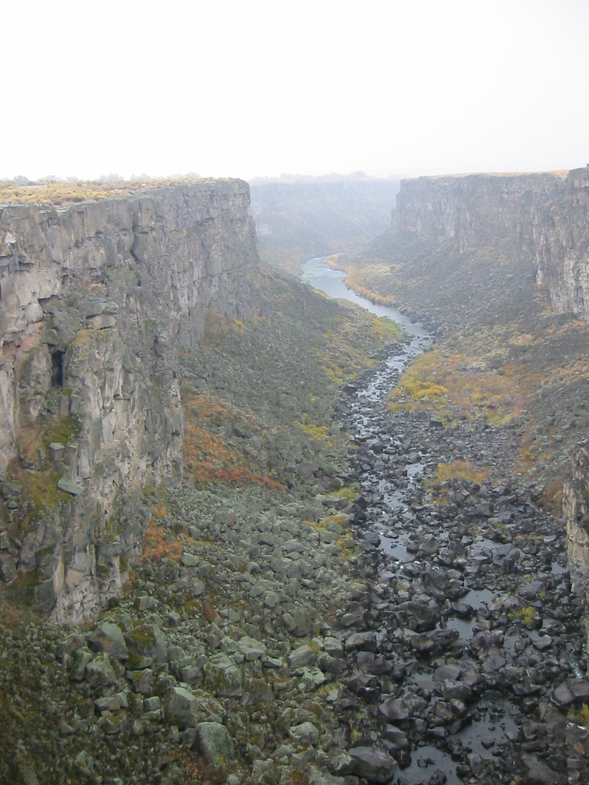
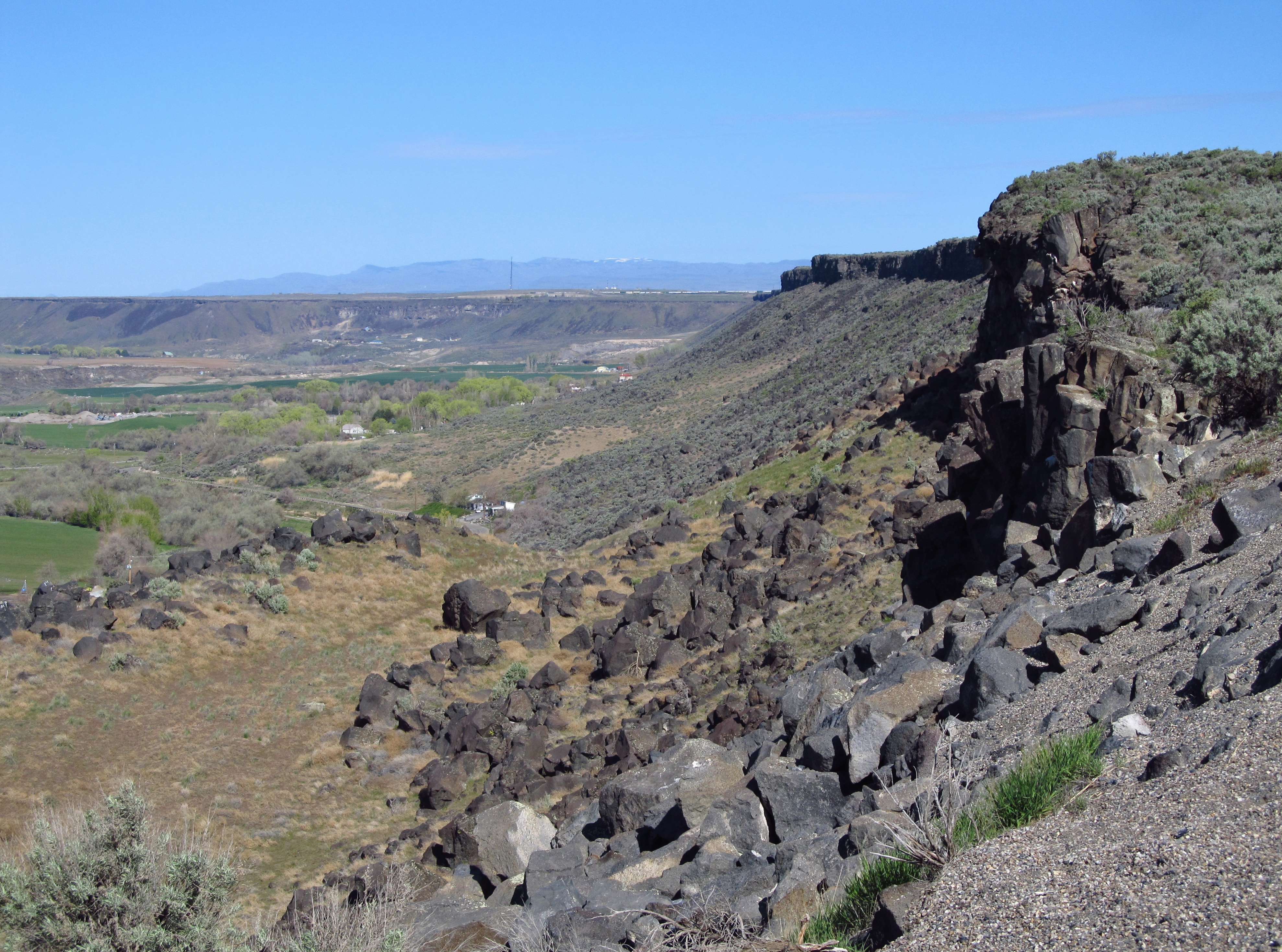
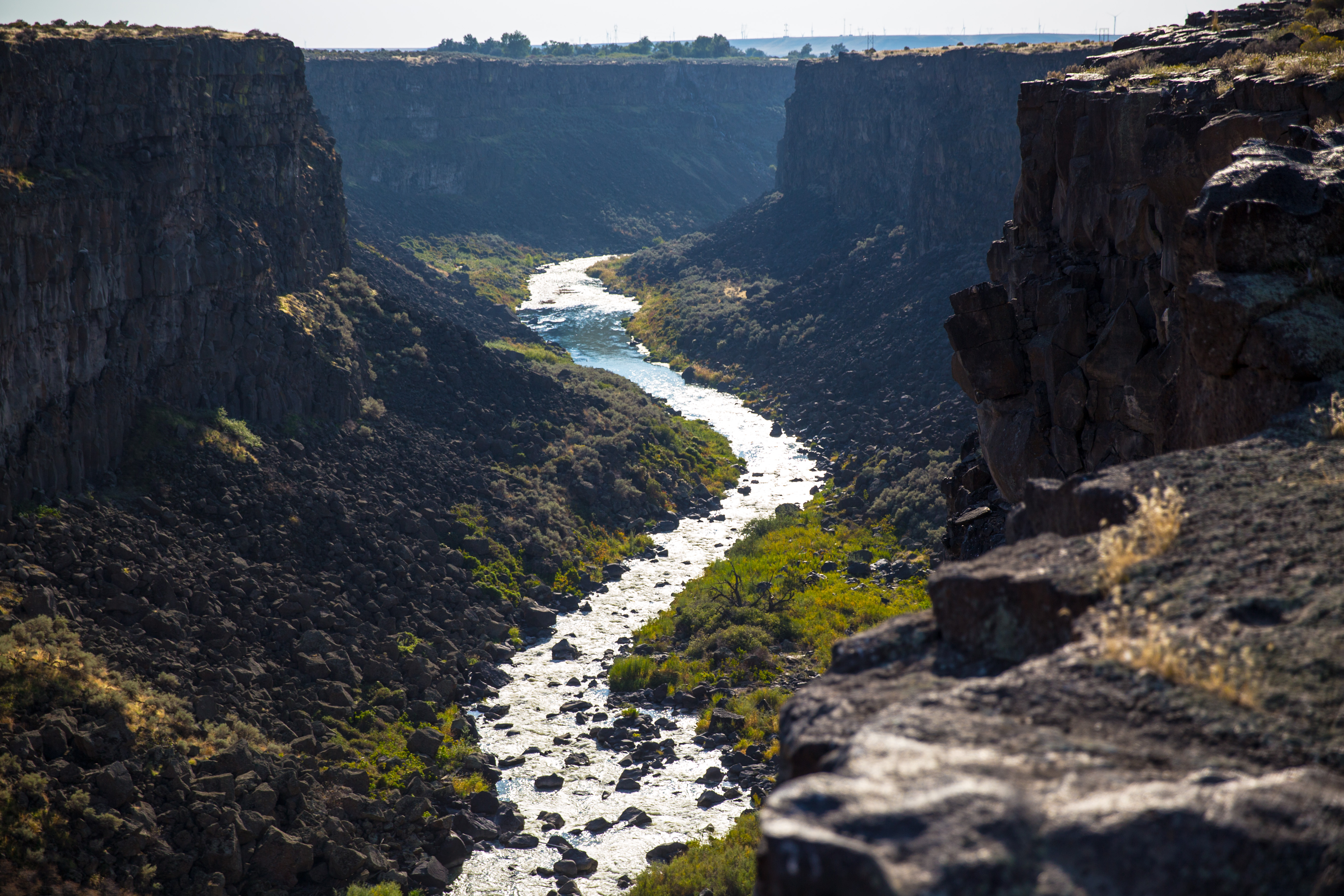
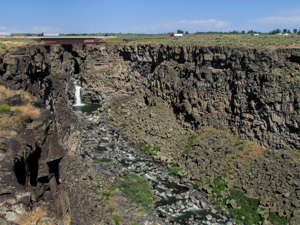
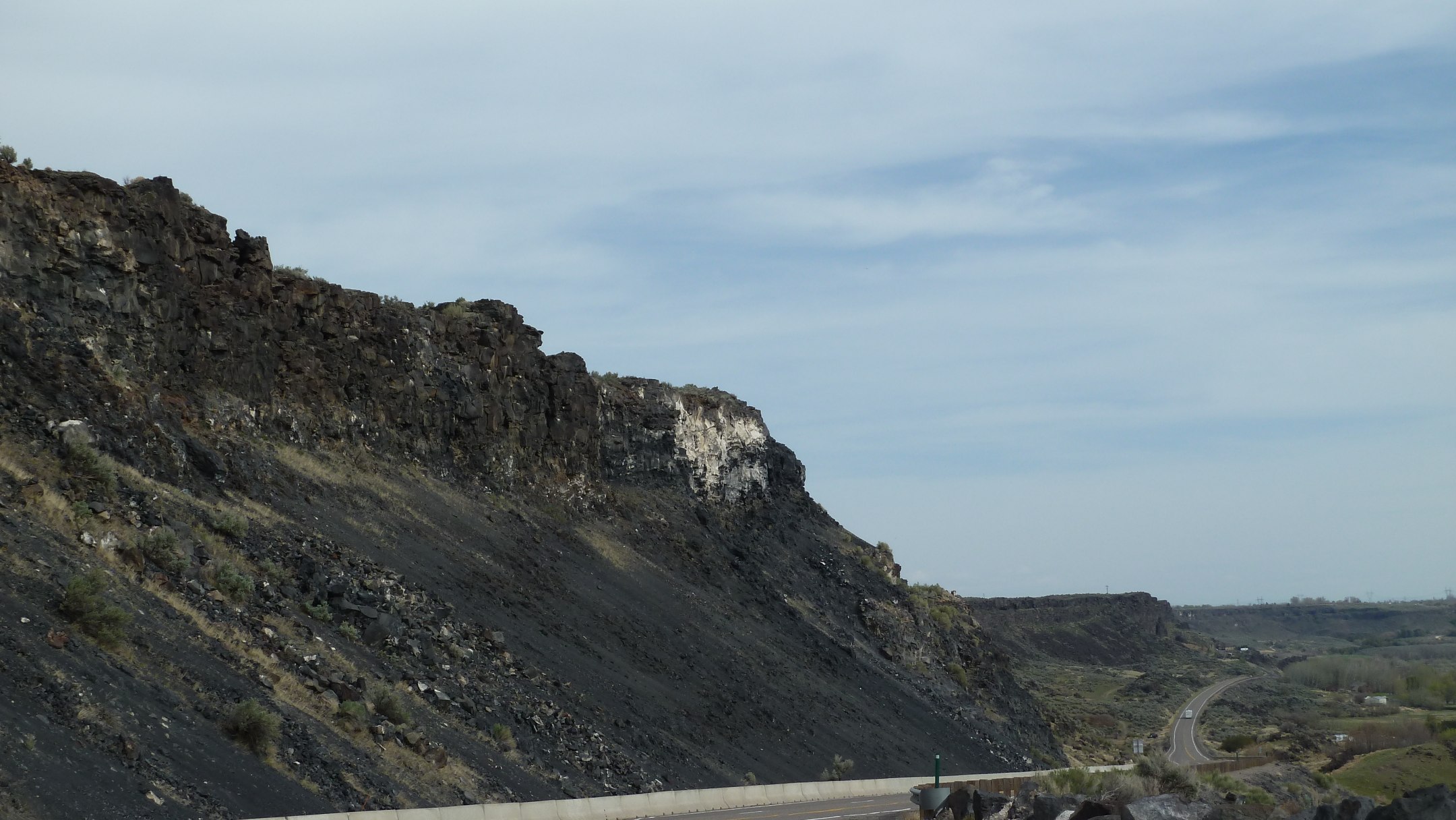
Malad Gorge 02
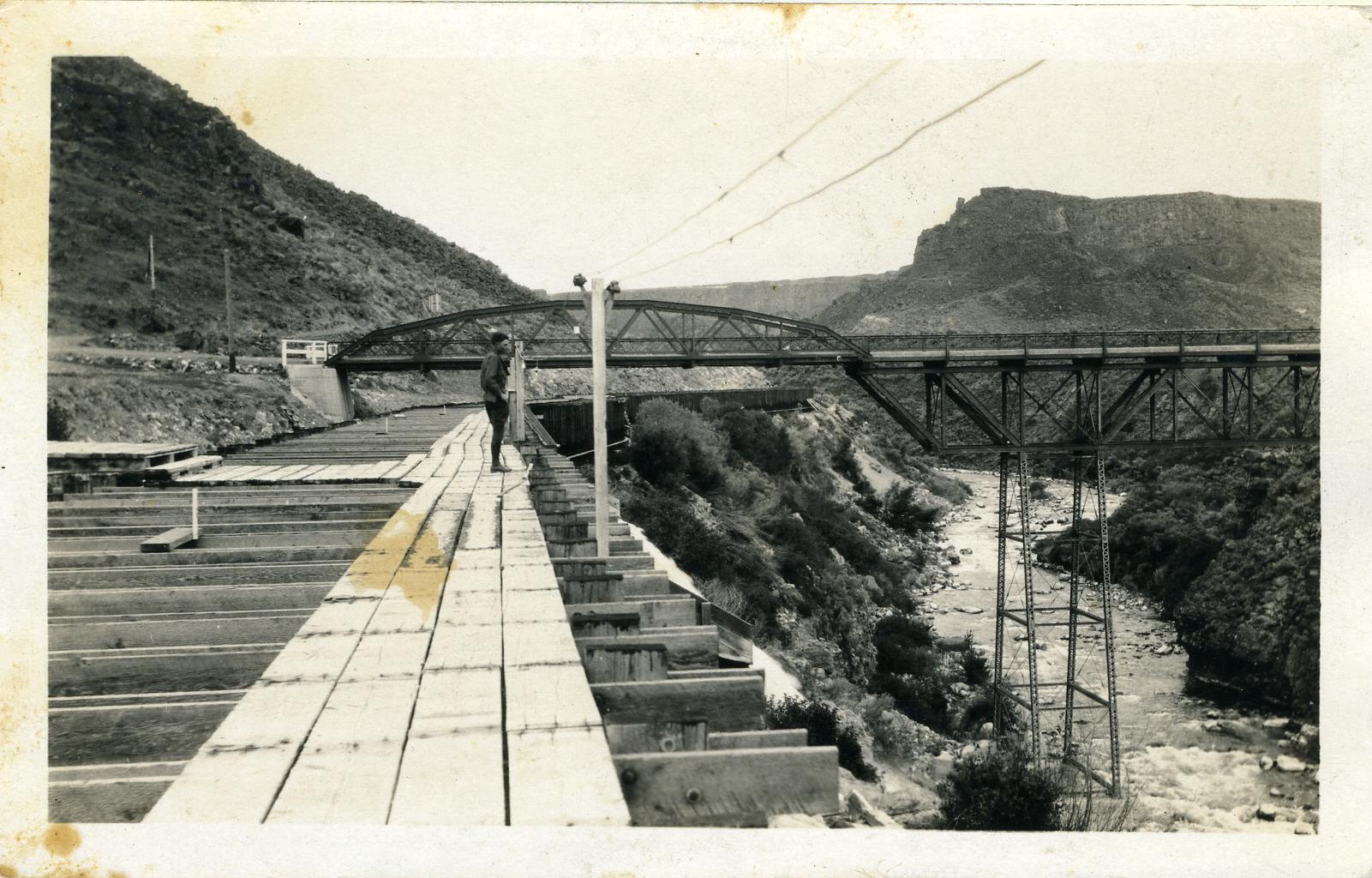
[IDAHO-G-0007] Malad River Flume
Malad Gorge

Bridge over the Snake
Malad Gorge 04
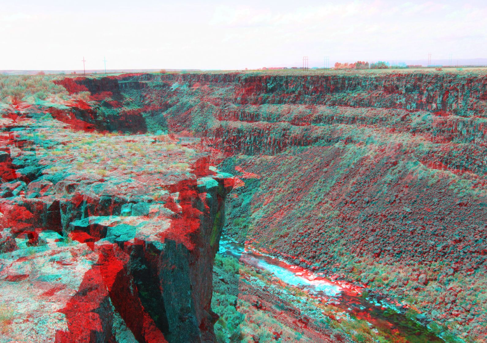
Malad Gorge
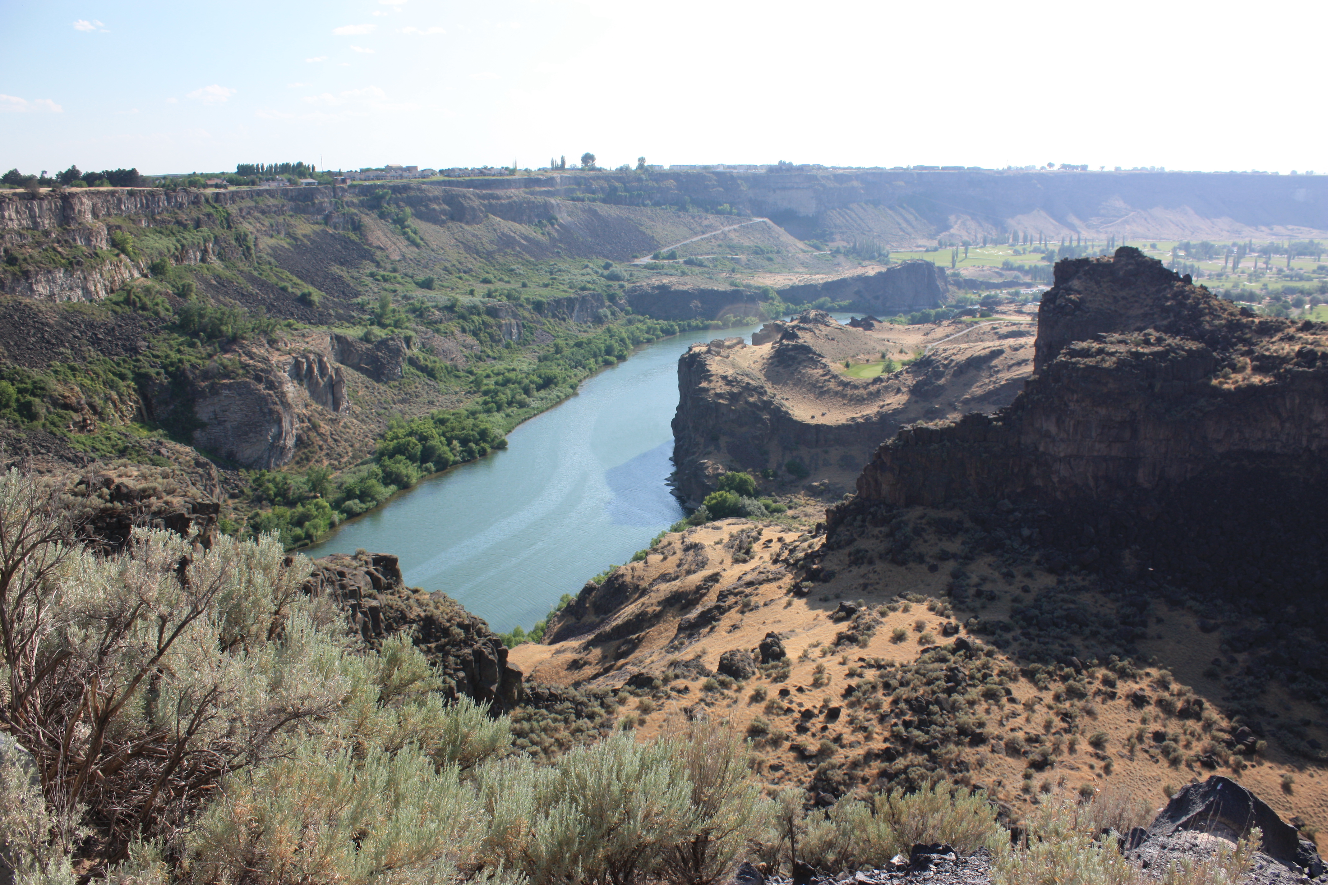
The Snake River
Malad Gorge 05
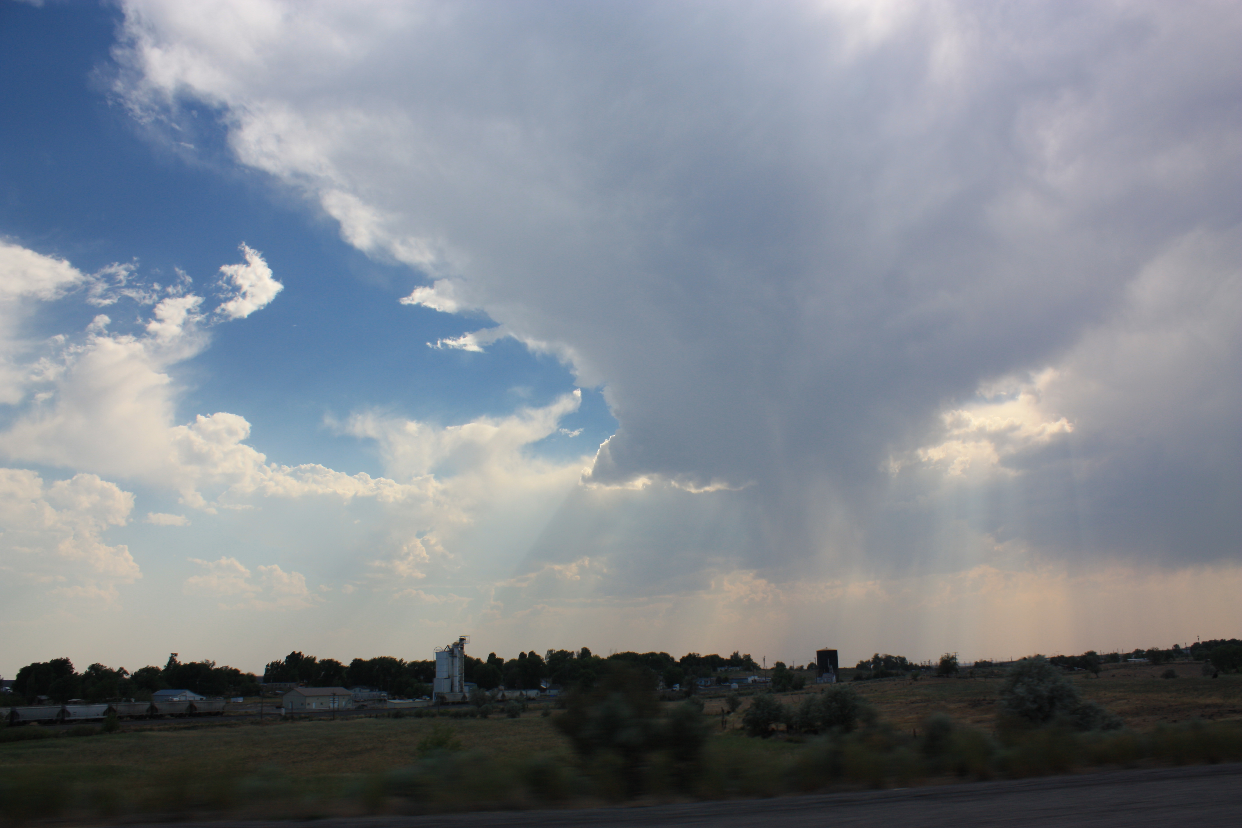
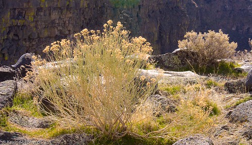
God Rays
Malad Gorge 01
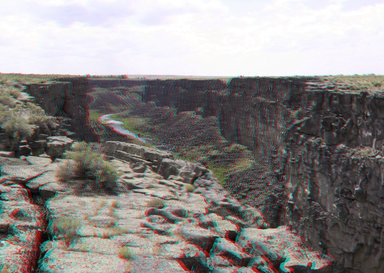
Malad Gorge
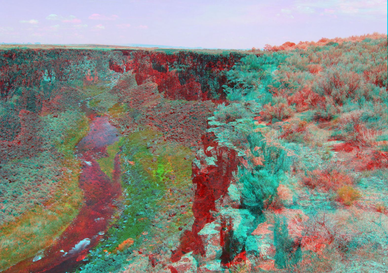
Malad Gorge, View From Footbridge
Bliss, Idaho
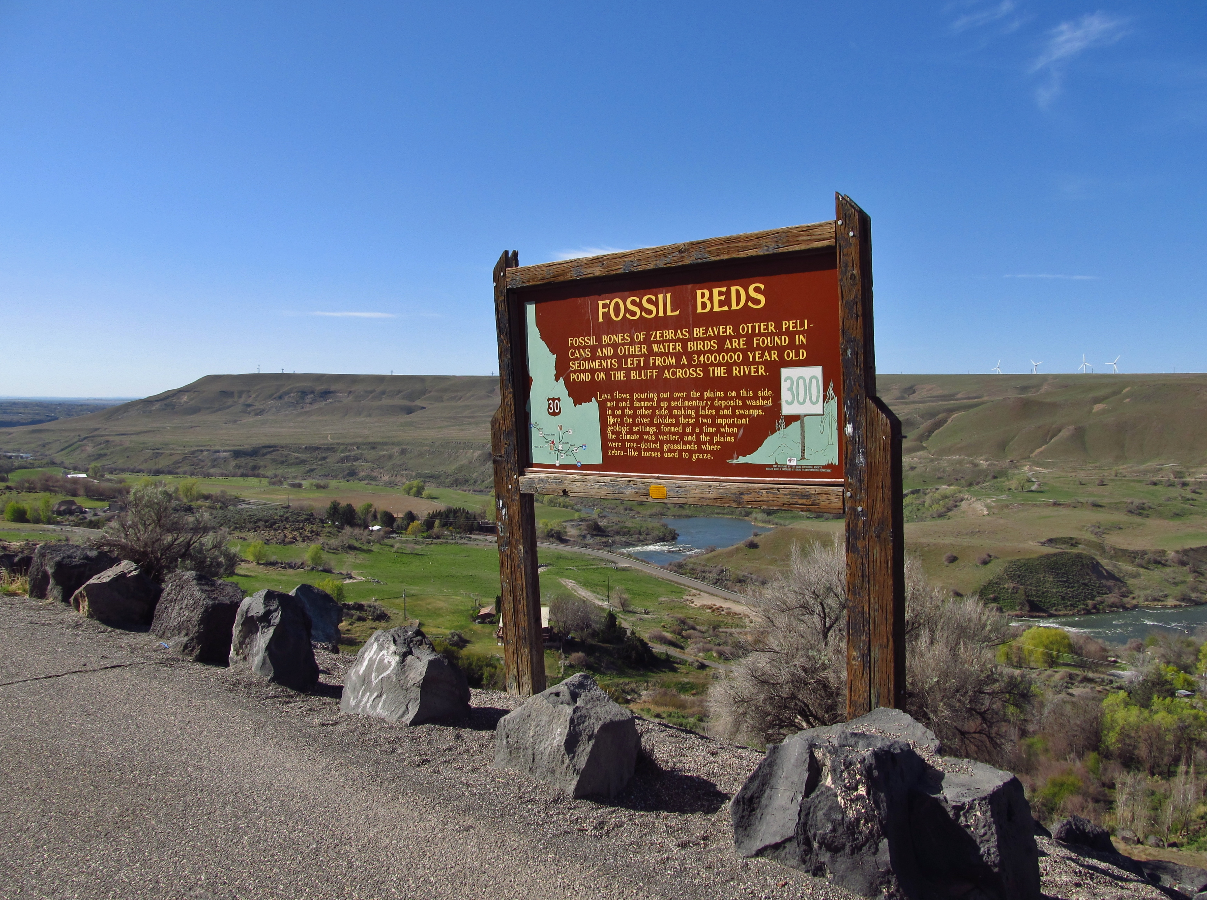
Bliss, Idaho
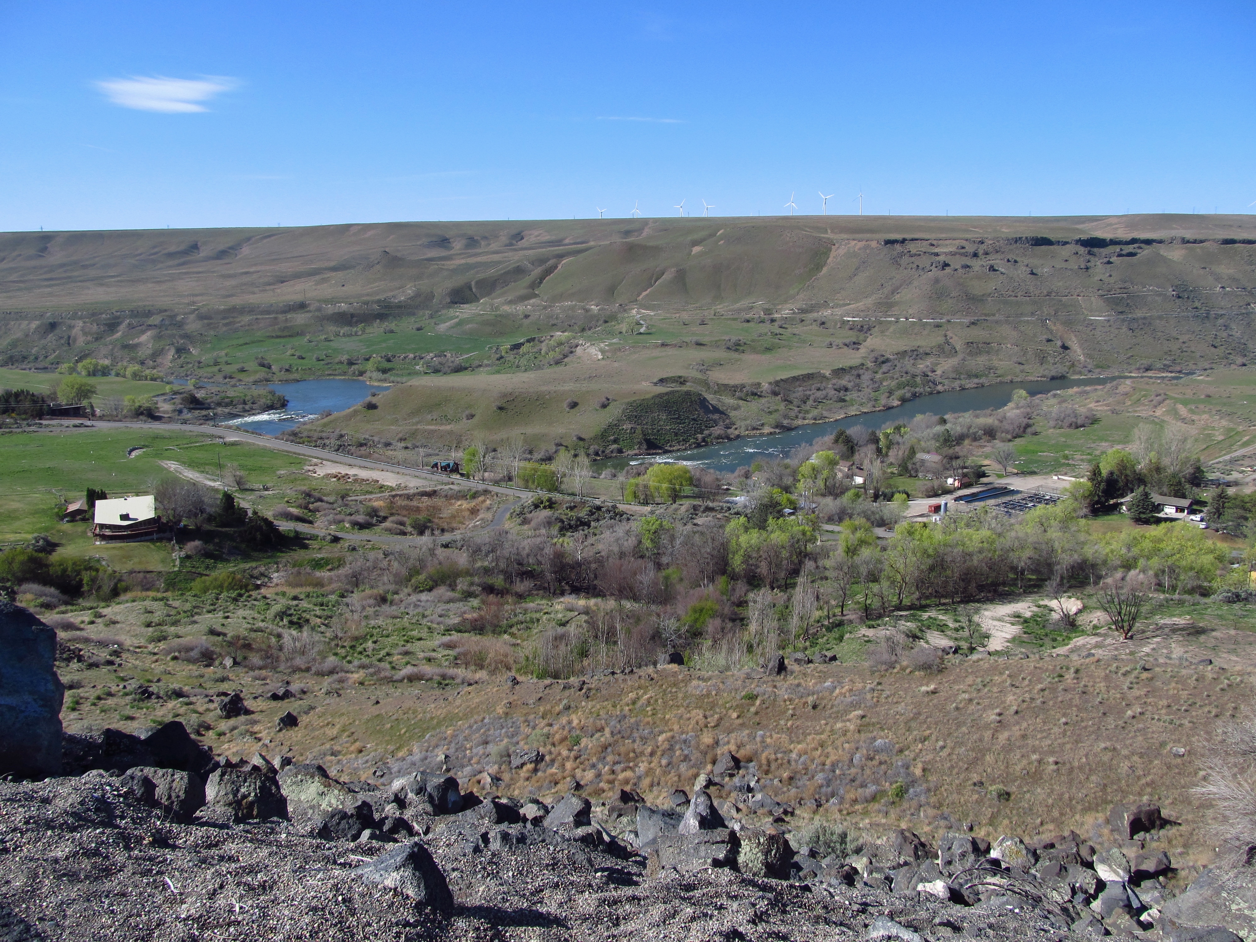
Bliss, Idaho
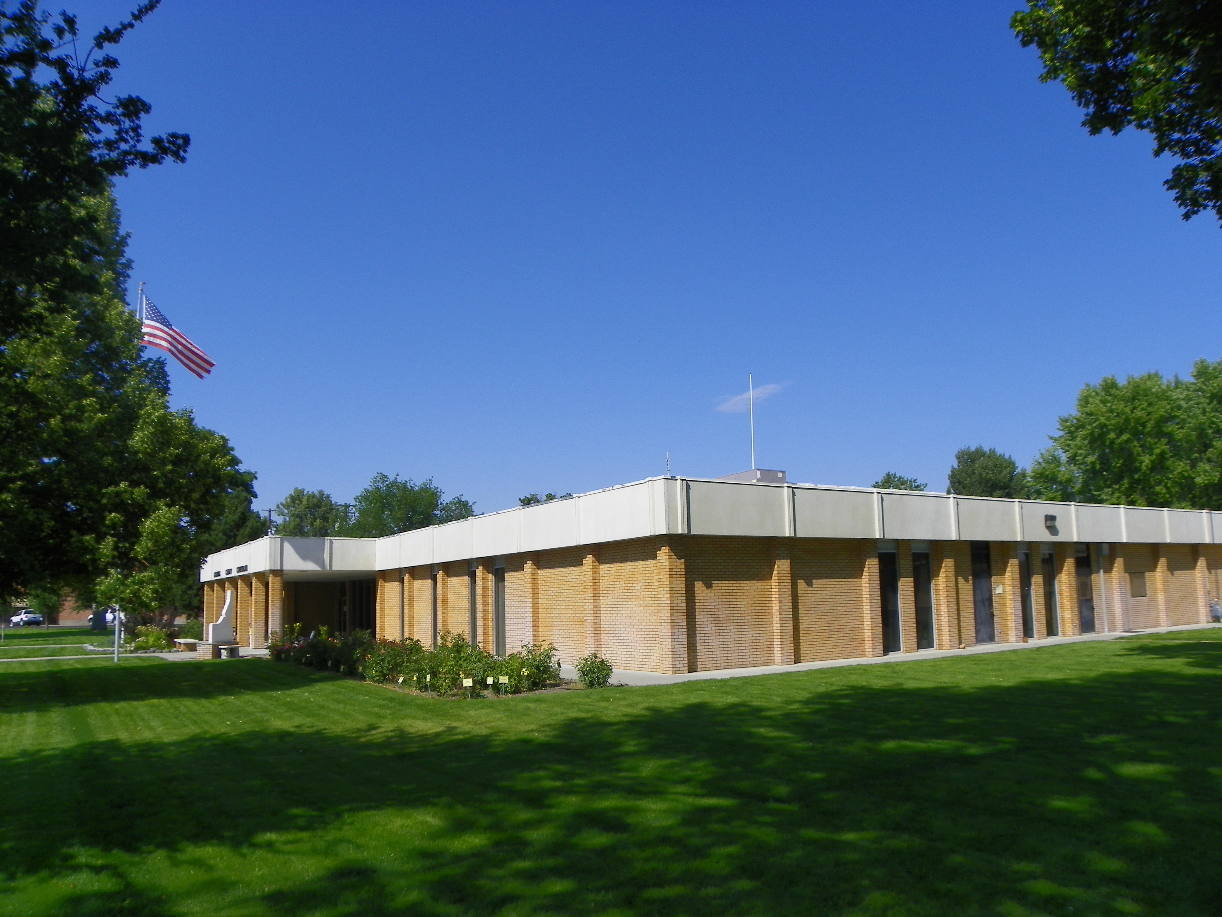
Side View, Gooding County Courthouse

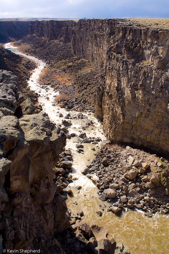
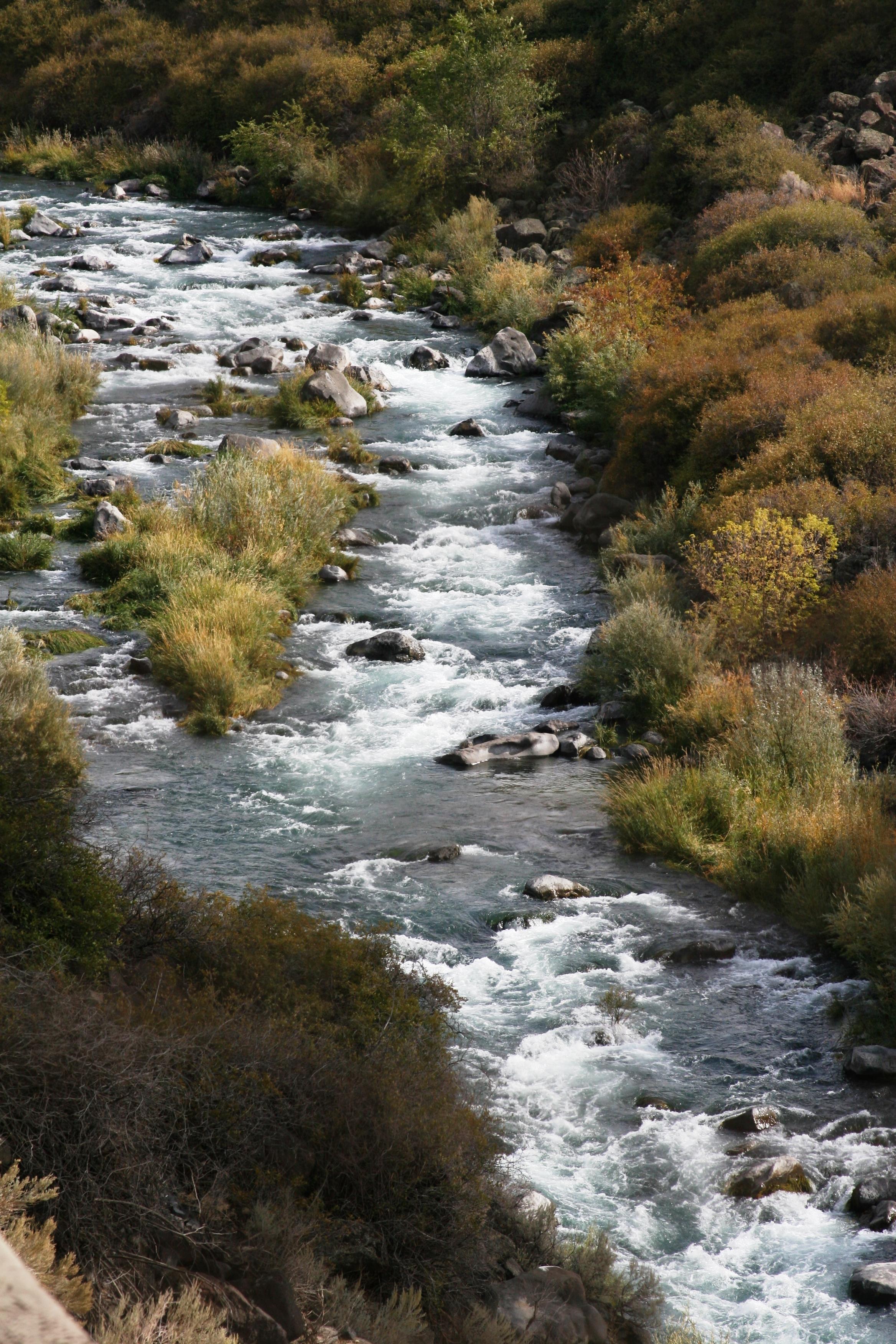
like water from lava

The Red Roof
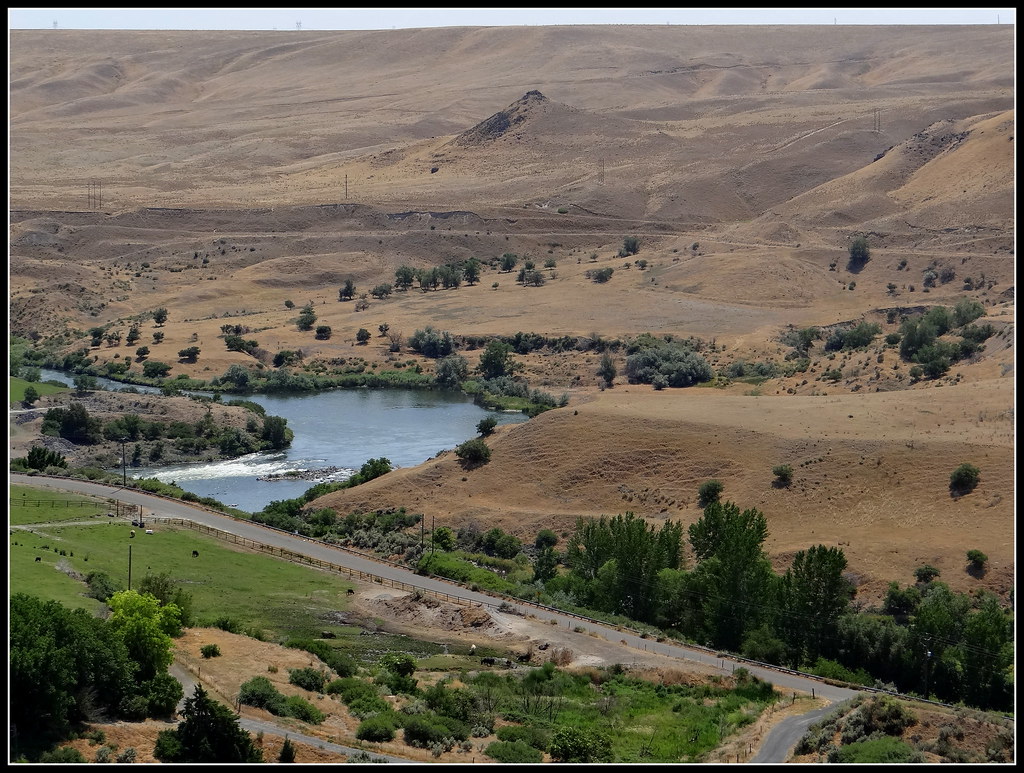
Snake River
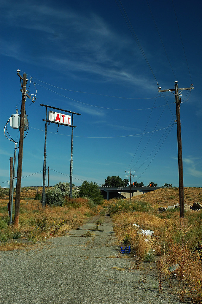
Life Before the Interstate
that waterfall and where it lives
Landscape behind the shop, part of the Snake river gorge.
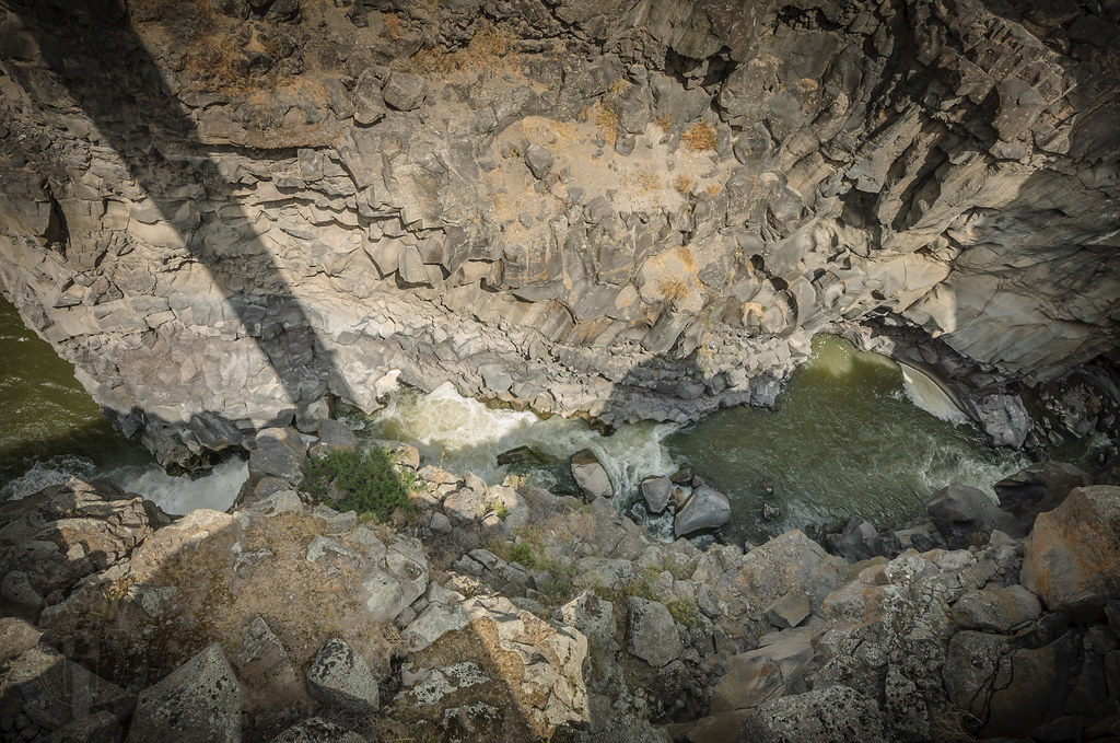
Shadow of the bridge
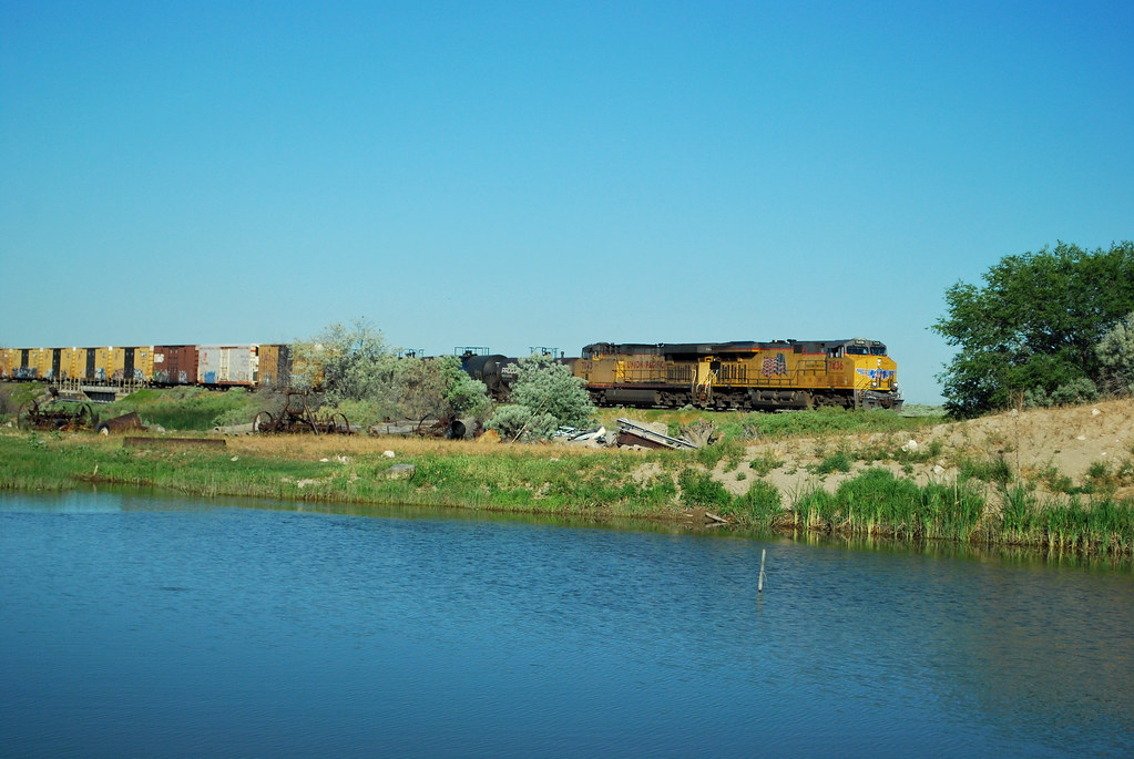
UP 7436 near a country road in Idaho
Near Hagerman, Idaho
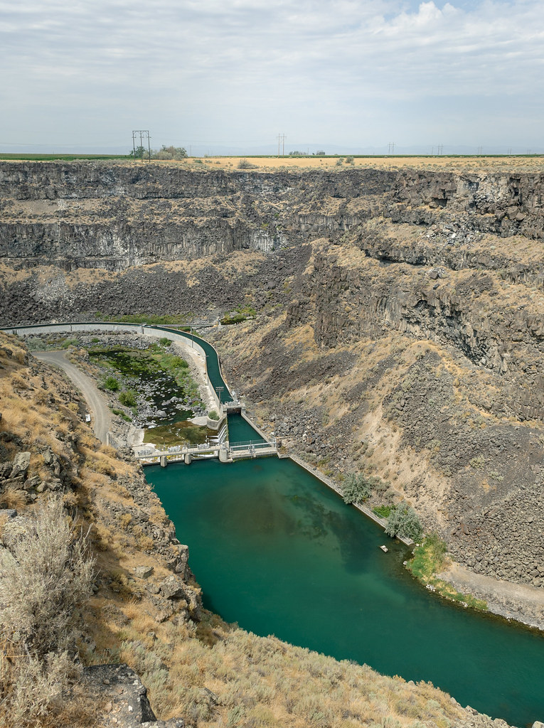
Dam it

Mallad Gorge State Park
Malad River

Mallad Gorge State Park
Fun Run 2013 - 054

img_6075.jpg
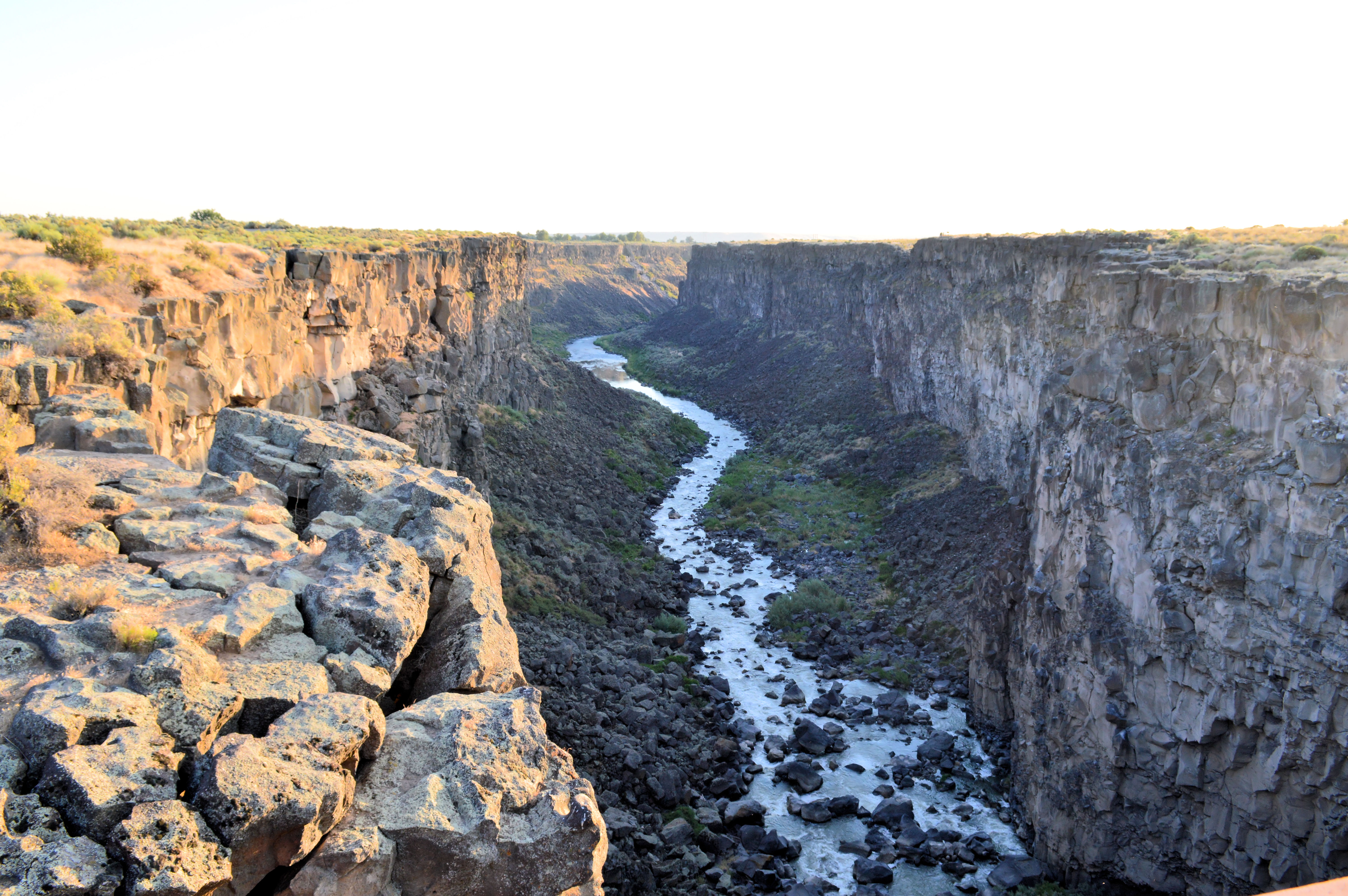
Malad Gorge
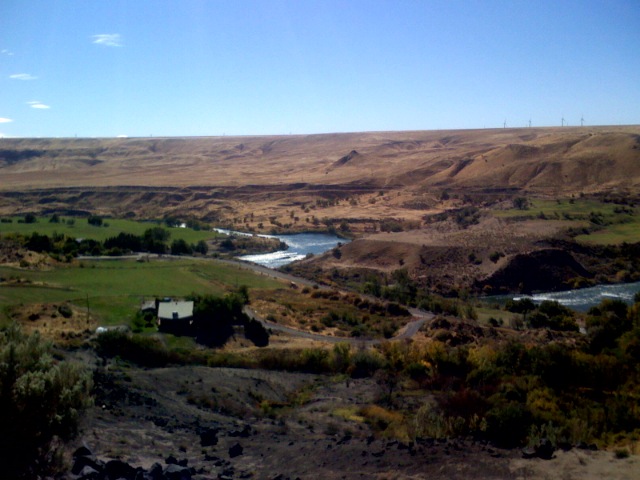
Snake river landscape
Topographic Map of Gooding County, ID, USA
Find elevation by address:

Places in Gooding County, ID, USA:
Places near Gooding County, ID, USA:
Gooding
Wendell
W Main St, Wendell, ID, USA
Tupper Grde, Hagerman, ID, USA
Hagerman
Bliss
Kentucky St, Bliss, ID, USA
1382 River View Lane
1831b River Rd
4524 N 1450 E
1437 N Fillmore St
Jerome
Main St, Buhl, ID, USA
Buhl
E N, Buhl, ID, USA
4524 N 1450 E
E N, Buhl, ID, USA
Shoshone
N E, Filer, ID, USA
804 Golden Spur Dr
Recent Searches:
- Elevation of Corso Fratelli Cairoli, 35, Macerata MC, Italy
- Elevation of Tallevast Rd, Sarasota, FL, USA
- Elevation of 4th St E, Sonoma, CA, USA
- Elevation of Black Hollow Rd, Pennsdale, PA, USA
- Elevation of Oakland Ave, Williamsport, PA, USA
- Elevation of Pedrógão Grande, Portugal
- Elevation of Klee Dr, Martinsburg, WV, USA
- Elevation of Via Roma, Pieranica CR, Italy
- Elevation of Tavkvetili Mountain, Georgia
- Elevation of Hartfords Bluff Cir, Mt Pleasant, SC, USA