Elevation of Gayville Township, SD, USA
Location: United States > South Dakota > Yankton County >
Longitude: -97.2437105
Latitude: 42.8875588
Elevation: 355m / 1165feet
Barometric Pressure: 0KPa
Related Photos:

Yankton Sunrise

1950 Chevrolet 4100 Series 5 Ton Dump Truck - View of Right Side from Rear

1950 Chevrolet 4100 Series 5 Ton Dump Truck - Rear End View

1950 Chevrolet 4100 Series 5 Ton Dump Truck - Rear Left View

429 Thunder Jet V-8 - Driver Side View

69 T-Bird - Left Side View

429 Thunder Jet V-8 - Passenger Side View

1969 Ford T-Bird - Left Rear View
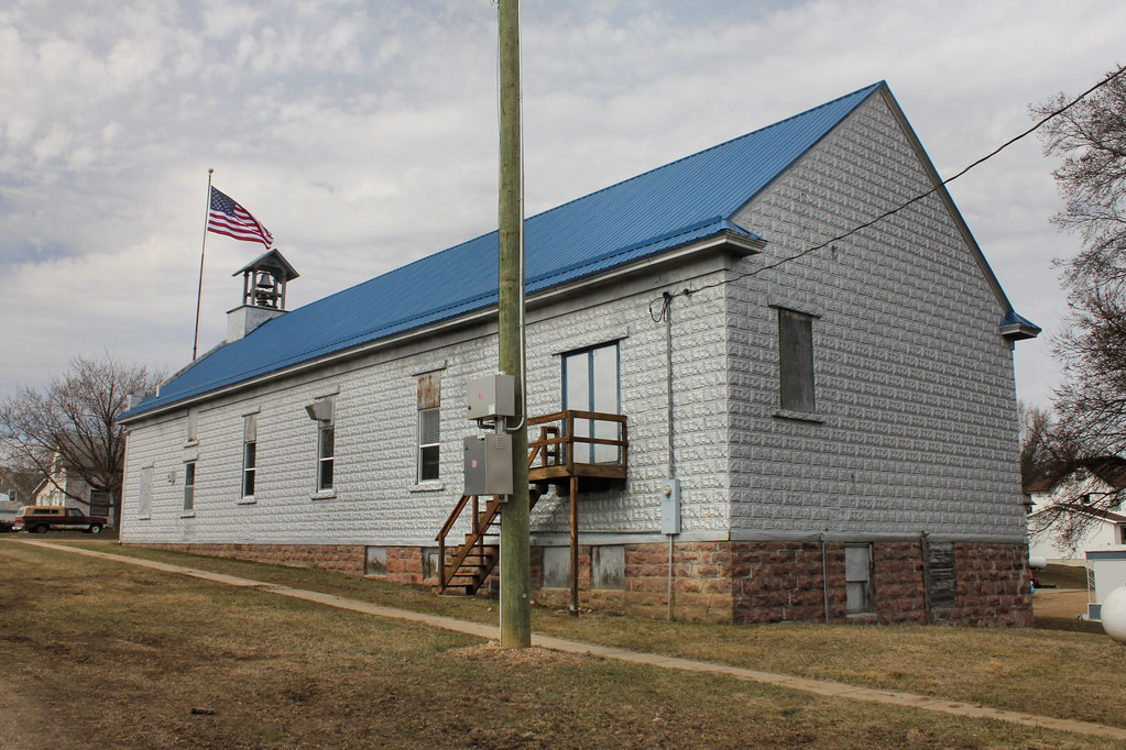
Town Hall (rear view) - Volin, SD

Old Ford Thunderbird

Rear View

0U1A8981 Yankton SD - Discovery Bridge - Missouri River, view of Nebraska side

Discovery Bridge Sunset

Daybreak on the Missouri

Missouri River (Yankton, South Dakota)

Missouri River (Yankton, South Dakota)

Missouri River (Yankton, South Dakota)

Missouri River (Yankton, South Dakota)

Might Mo

Riverside Park and Territorial Capitol

Meridian Bridge

day8-6

swather and bales

south over hay field

northern sky over the corn

corn in the wind

clouds over hay
Topographic Map of Gayville Township, SD, USA
Find elevation by address:

Places in Gayville Township, SD, USA:
Places near Gayville Township, SD, USA:
44732 Sd-50
Mission Hill
Merchant St, Gayville, SD, USA
Mission Hill Township
Santa Rosa Circle
3813 Peninah St
3813 Peninah St
W 4th St, Yankton, SD, USA
Yankton
907 Maple St
Summit Street
Wynot
Yankton County
Bow Valley
Lake Yankton
88910 573 Ave
104 Judy Ave
104 Judy Ave
104 Judy Ave
280 Deerfield Dr
Recent Searches:
- Elevation of 116, Beartown Road, Underhill, Chittenden County, Vermont, 05489, USA
- Elevation of Window Rock, Colfax County, New Mexico, 87714, USA
- Elevation of 4807, Rosecroft Street, Kempsville Gardens, Virginia Beach, Virginia, 23464, USA
- Elevation map of Matawinie, Quebec, Canada
- Elevation of Sainte-Émélie-de-l'Énergie, Matawinie, Quebec, Canada
- Elevation of Rue du Pont, Sainte-Émélie-de-l'Énergie, Matawinie, Quebec, J0K2K0, Canada
- Elevation of 8, Rue de Bécancour, Blainville, Thérèse-De Blainville, Quebec, J7B1N2, Canada
- Elevation of Wilmot Court North, 163, University Avenue West, Northdale, Waterloo, Region of Waterloo, Ontario, N2L6B6, Canada
- Elevation map of Panamá Province, Panama
- Elevation of Balboa, Panamá Province, Panama
- Elevation of San Miguel, Balboa, Panamá Province, Panama
- Elevation of Isla Gibraleón, San Miguel, Balboa, Panamá Province, Panama
- Elevation of 4655, Krischke Road, Schulenburg, Fayette County, Texas, 78956, USA
- Elevation of Carnegie Avenue, Downtown Cleveland, Cleveland, Cuyahoga County, Ohio, 44115, USA
- Elevation of Walhonding, Coshocton County, Ohio, USA
- Elevation of Clifton Down, Clifton, Bristol, City of Bristol, England, BS8 3HU, United Kingdom
- Elevation map of Auvergne-Rhône-Alpes, France
- Elevation map of Upper Savoy, Auvergne-Rhône-Alpes, France
- Elevation of Chamonix-Mont-Blanc, Upper Savoy, Auvergne-Rhône-Alpes, France
- Elevation of 908, Northwood Drive, Bridge Field, Chesapeake, Virginia, 23322, USA