Elevation of Judy Ave, Yankton, SD, USA
Location: United States > South Dakota > Yankton County > Yankton >
Longitude: -97.518581
Latitude: 42.8948923
Elevation: 447m / 1467feet
Barometric Pressure: 96KPa
Elevation Map:
Satellite Map:
Related Photos:

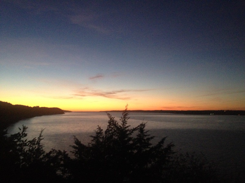
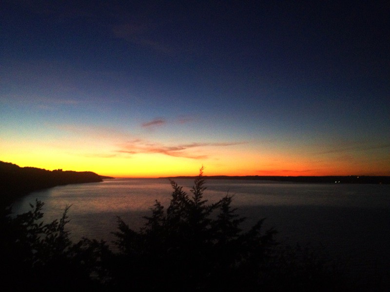
Yankton Sunrise
IMG_0782.JPG

IMG_0778.JPG

1950 Chevrolet 4100 Series 5 Ton Dump Truck - View of Right Side from Rear
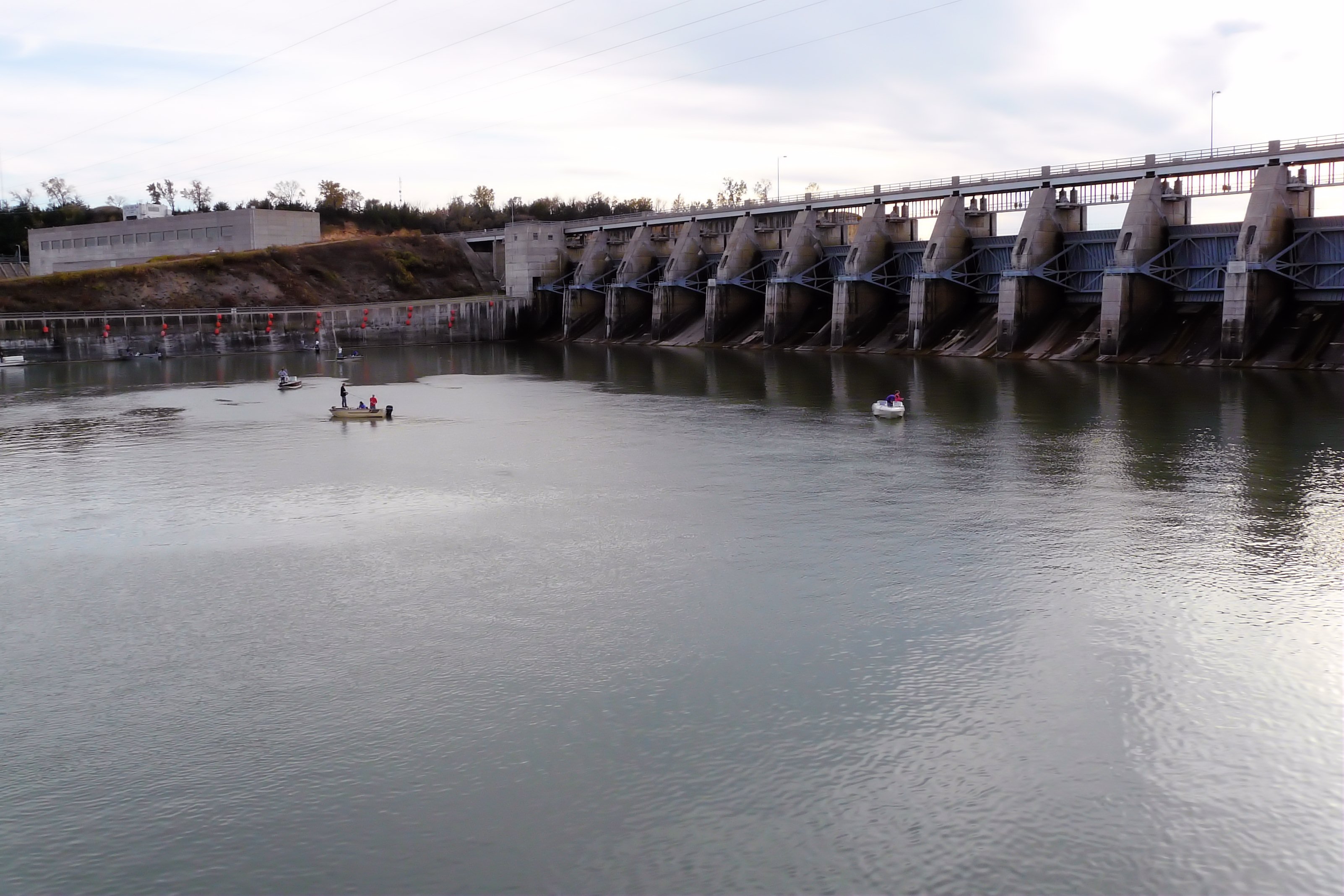
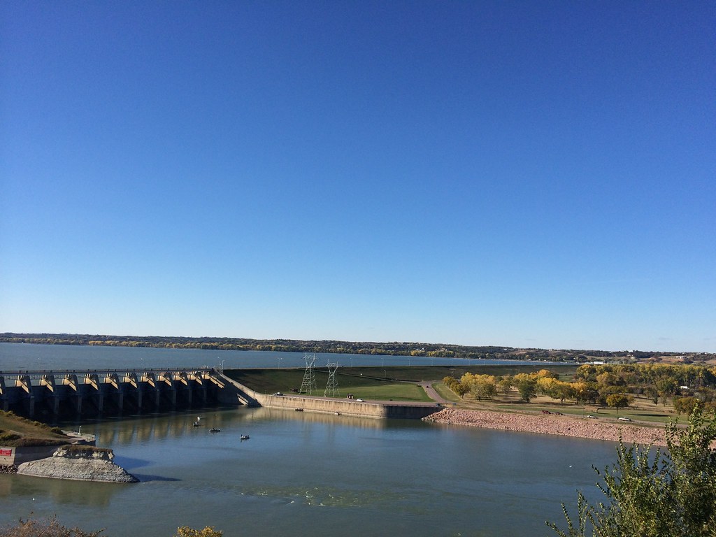
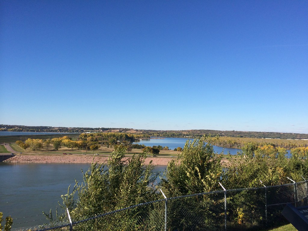
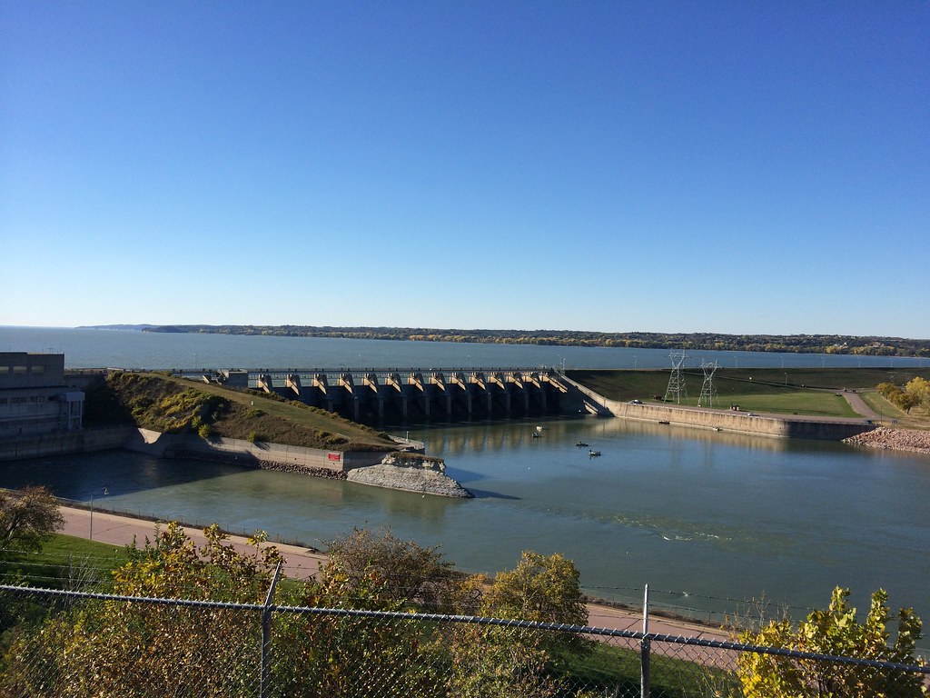
Gavins Point Dam
Gavins Point Dam
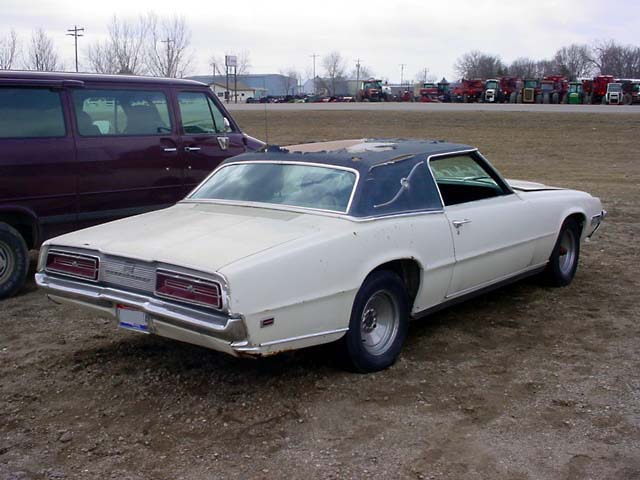
Old Ford Thunderbird
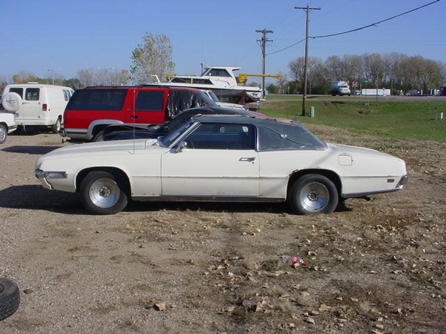
69 T-Bird - Left Side View
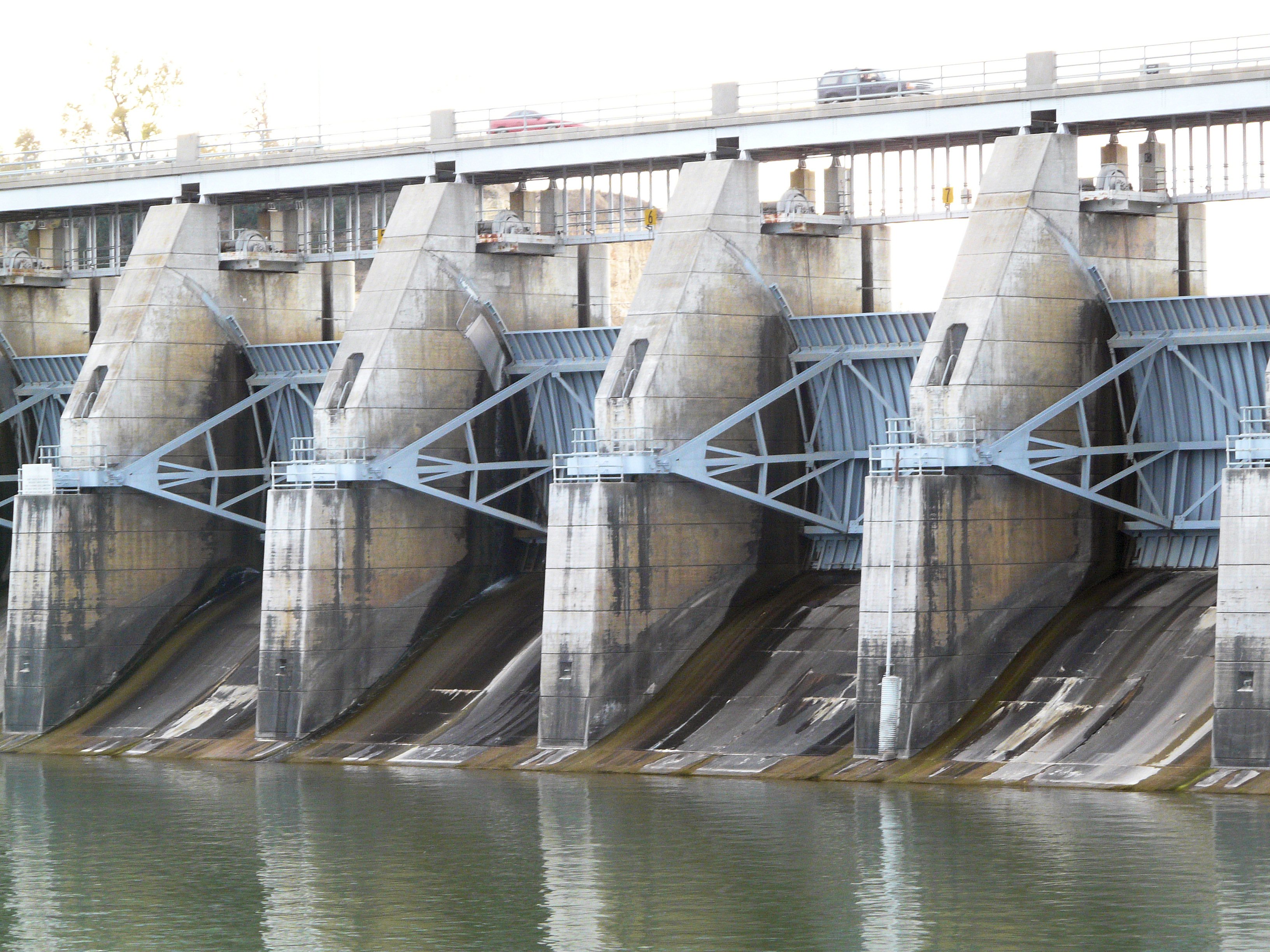
Gavins Point Dam
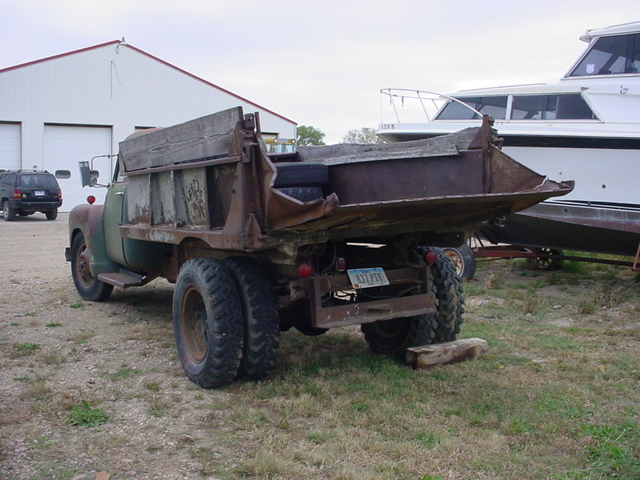
1950 Chevrolet 4100 Series 5 Ton Dump Truck - Rear Left View
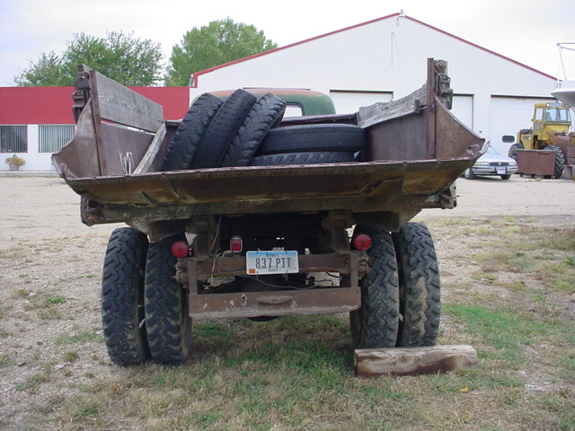
1950 Chevrolet 4100 Series 5 Ton Dump Truck - Rear End View
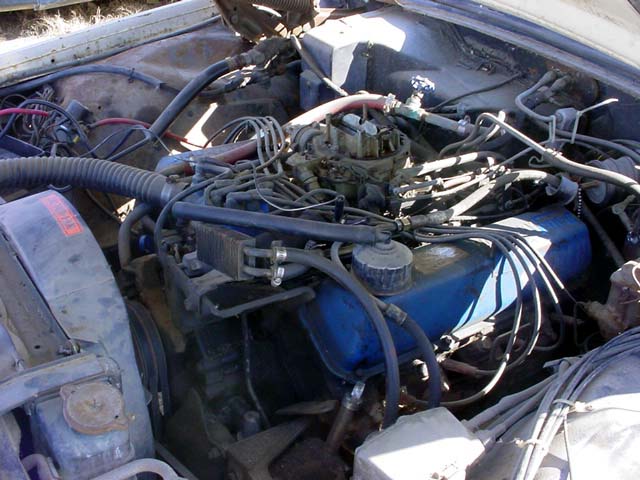
429 Thunder Jet V-8 - Driver Side View
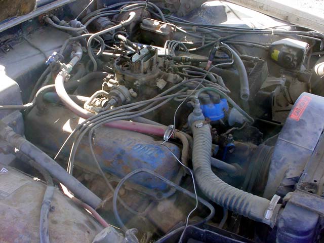
429 Thunder Jet V-8 - Passenger Side View
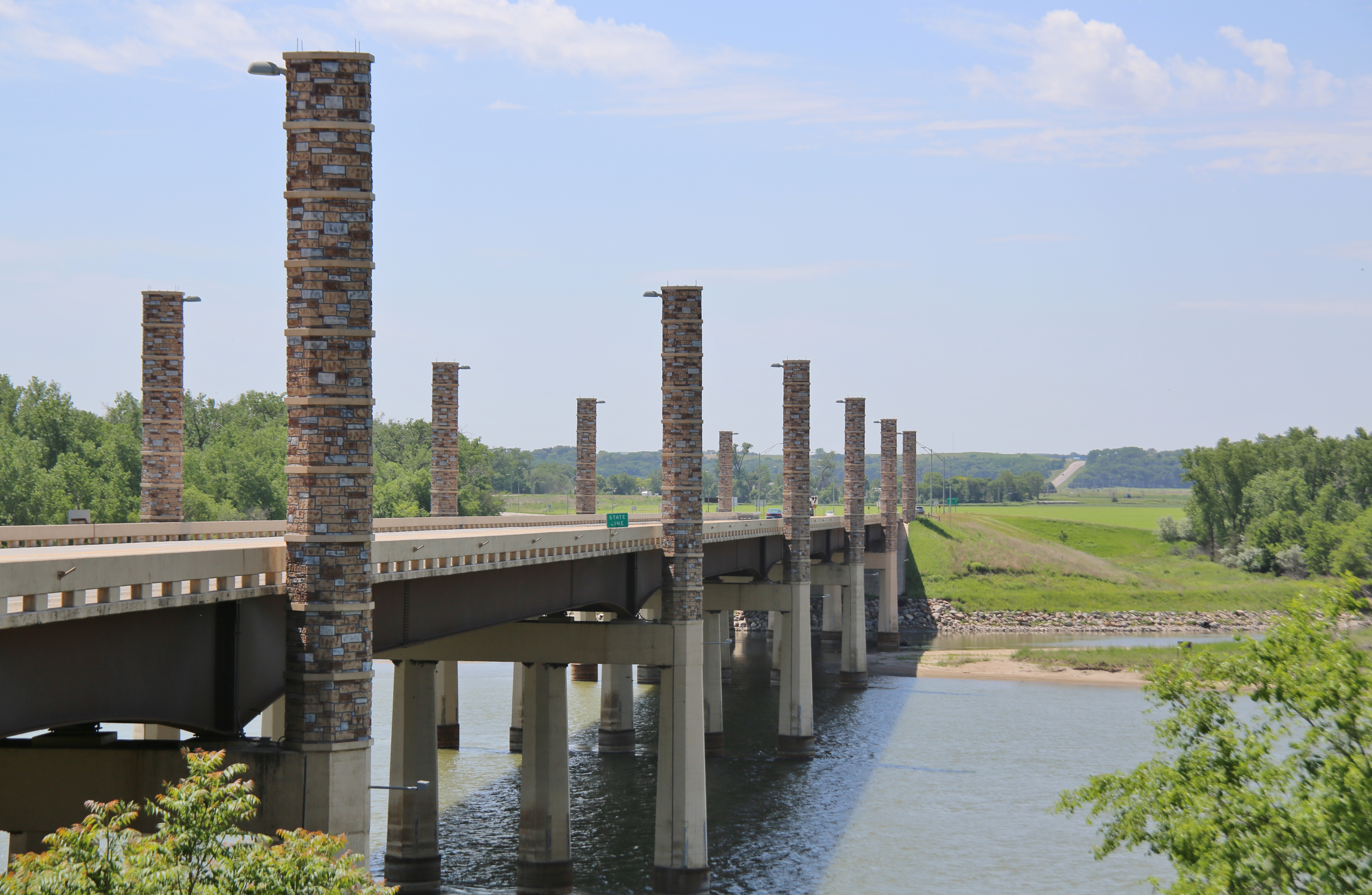
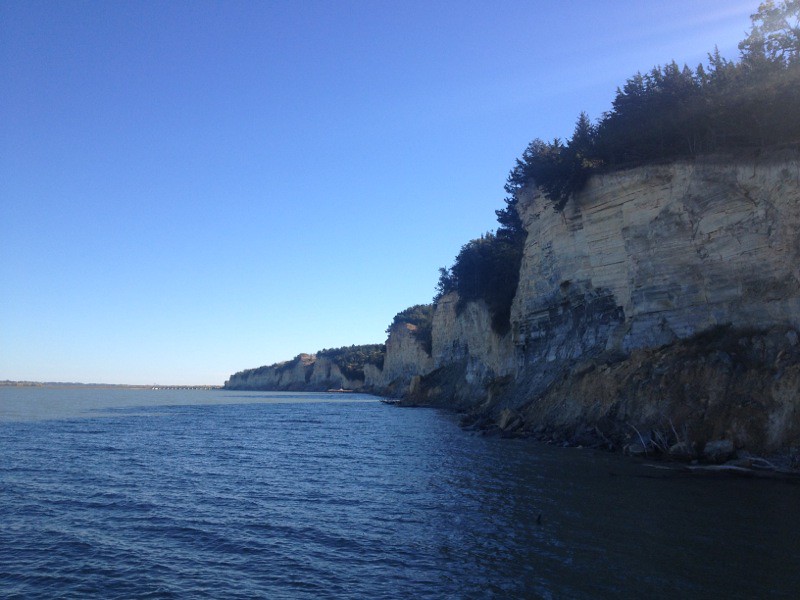
0U1A8981 Yankton SD - Discovery Bridge - Missouri River, view of Nebraska side
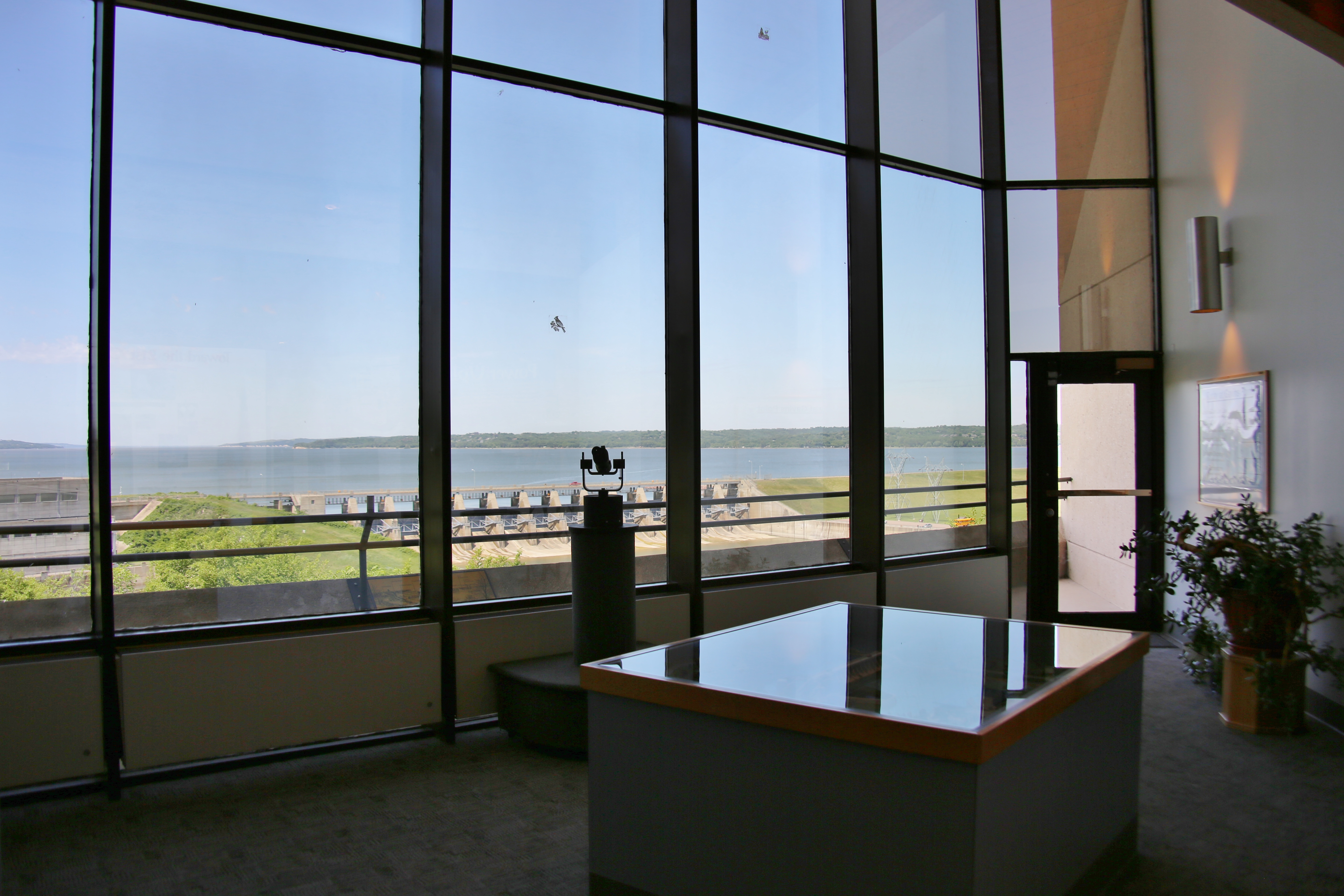
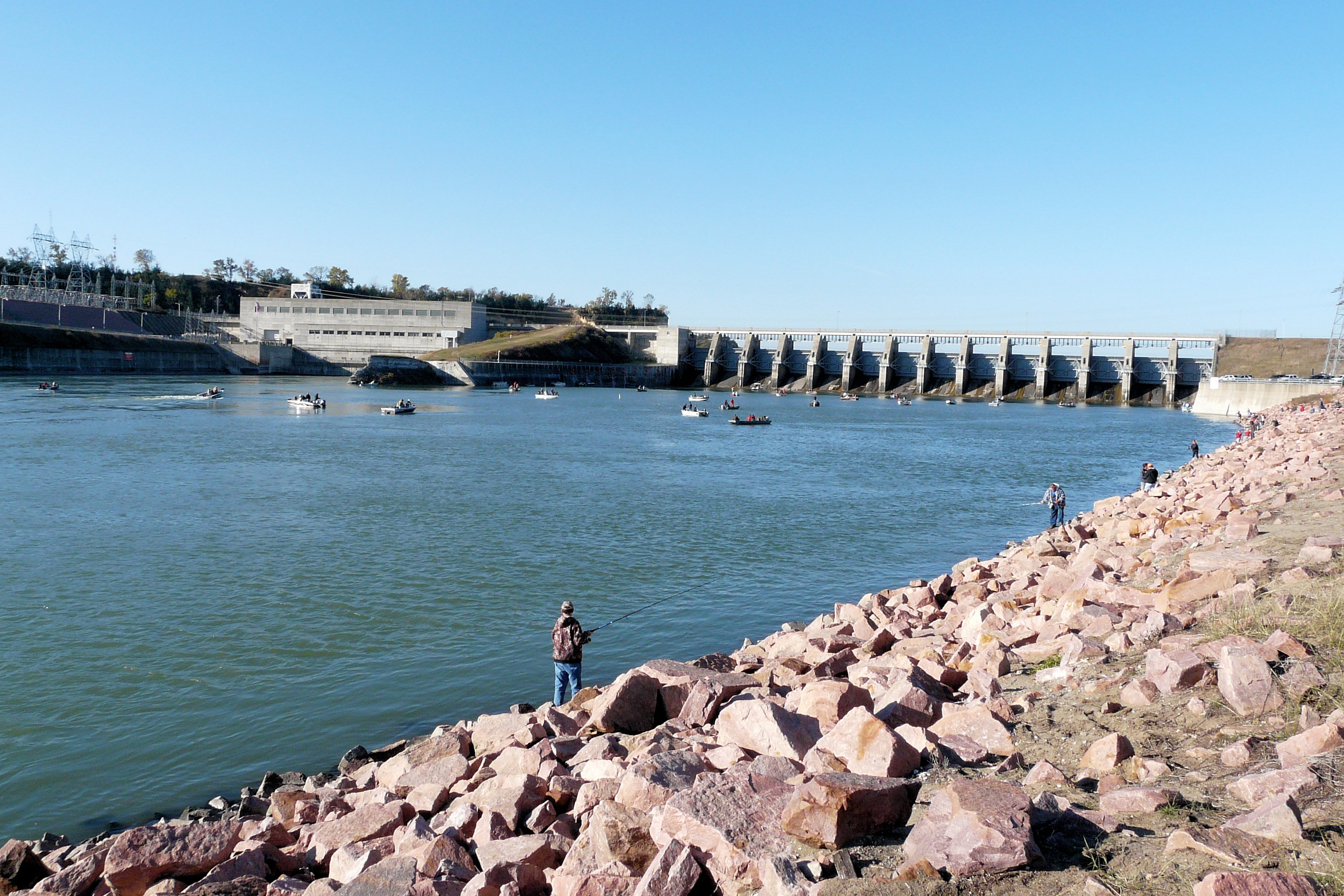
0U1A9031 Lewis and Clark Visitor Center - view of Gavins Point Dam
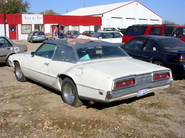
1969 Ford T-Bird - Left Rear View

Please Just a Minute Longer
Gavin's Point Dam
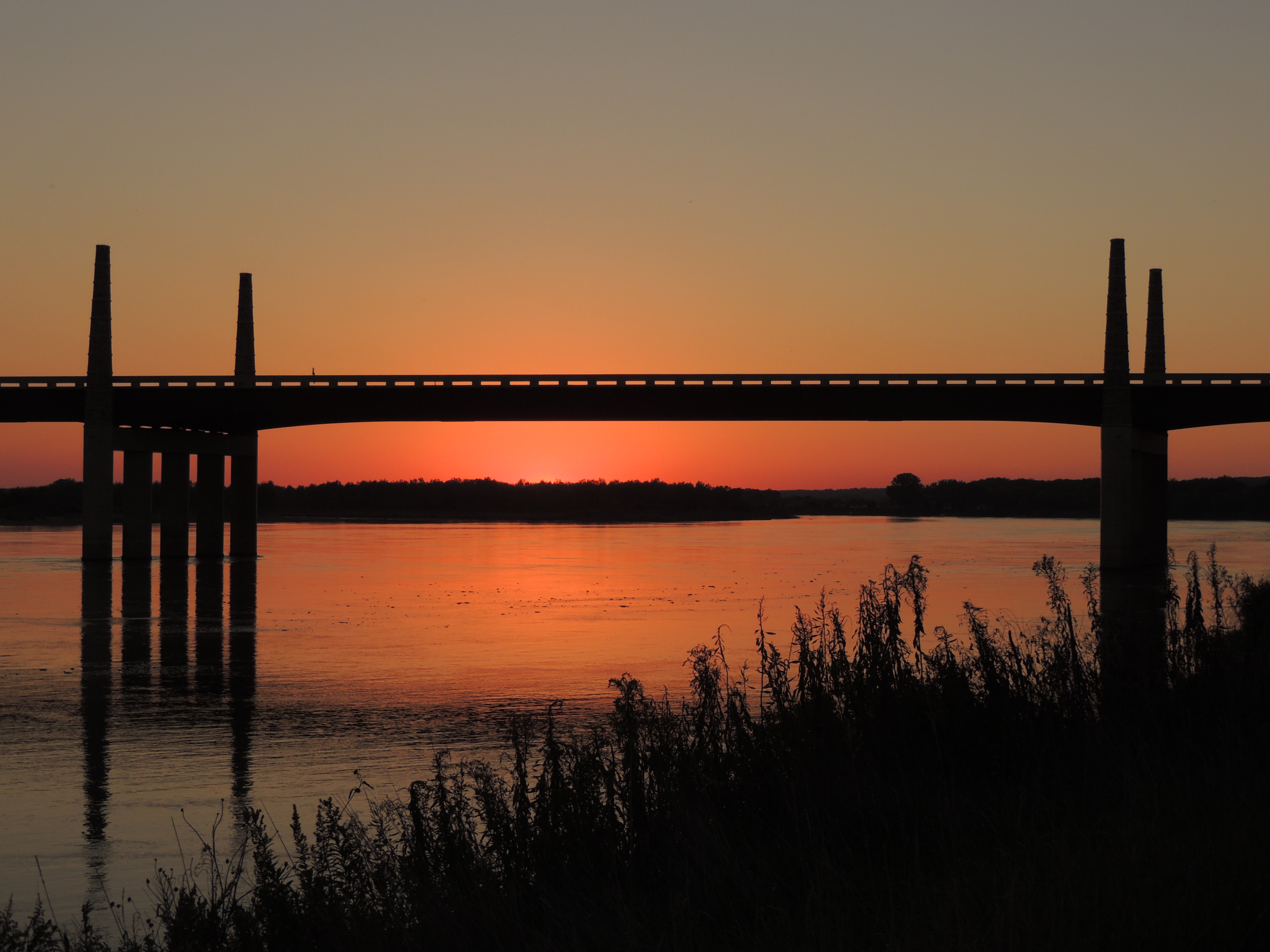
Discovery Bridge Sunset

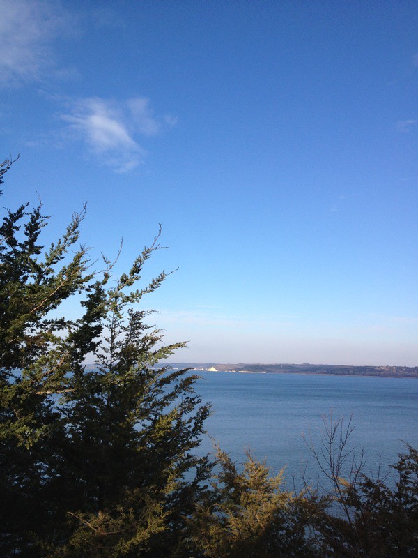
Daybreak on the Missouri
IMG_2393.JPG
2013-10-24 16.18.00
IMG_2396.JPG
Might Mo
IMG_2412.JPG

(2014-07-26) - 0496

Riverside Park and Territorial Capitol

(2014-07-26) - 0756

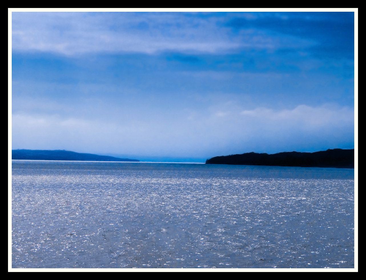
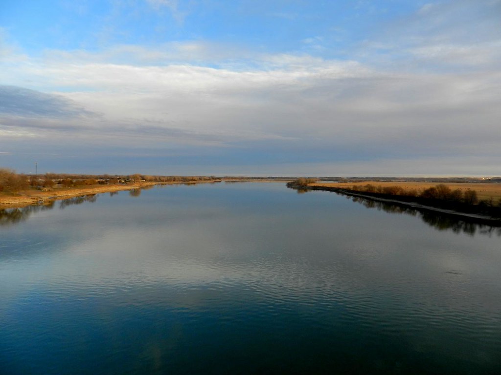
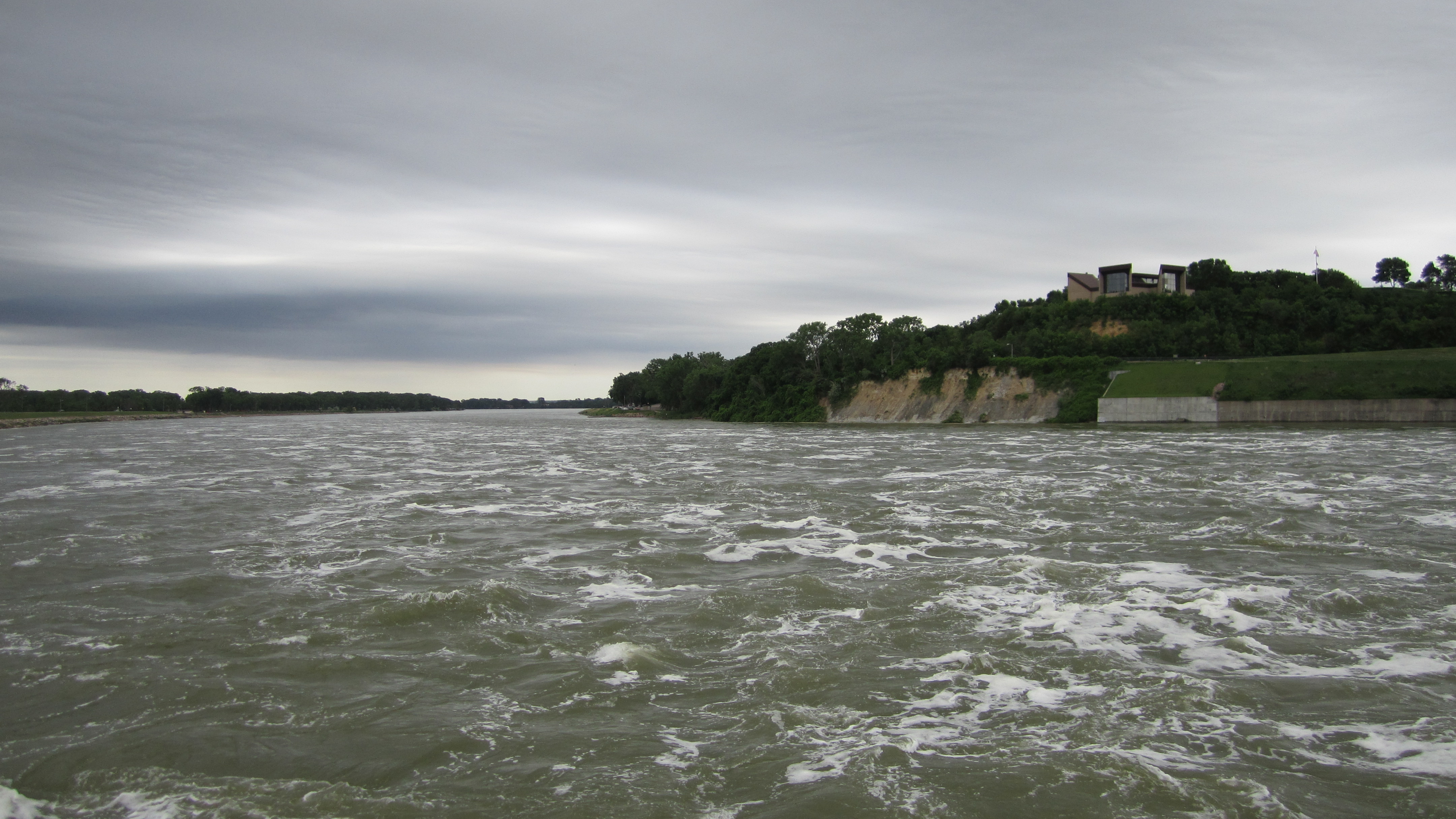
Missouri River Image 2 12-22-2005 Photo
2013-10-24 16.17.55
2013-10-24 16.17.52
Looking down the Missouri River from Gavins Point Dam

Meridian Bridge
IMG_2421.JPG
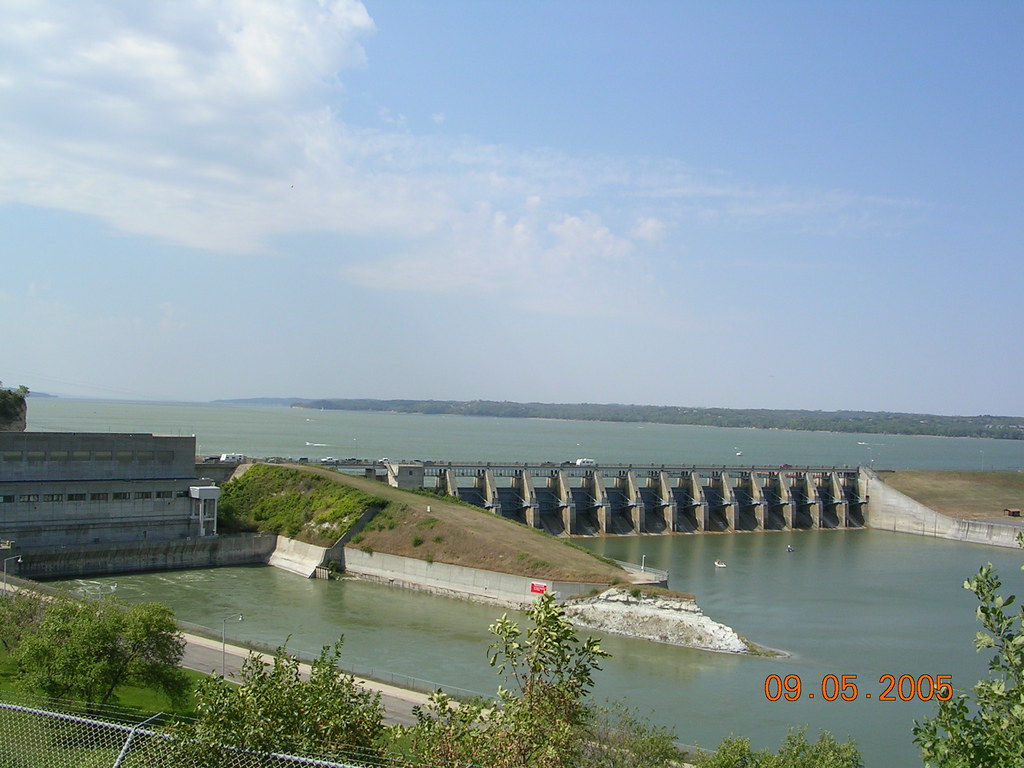
Gavins Point Dam Image 2 9-5-2005 Photo
Topographic Map of Judy Ave, Yankton, SD, USA
Find elevation by address:

Places near Judy Ave, Yankton, SD, USA:
104 Judy Ave
104 Judy Ave
280 Deerfield Dr
Lake Yankton
West Yankton
Summit Street
907 Maple St
Yankton
W 4th St, Yankton, SD, USA
Santa Rosa Circle
3813 Peninah St
3813 Peninah St
Lesterville
Mission Hill Township
43165 296th St
Yankton County
Mission Hill
44732 Sd-50
Gayville Township
Northeast Bon Homme
Recent Searches:
- Elevation of Corso Fratelli Cairoli, 35, Macerata MC, Italy
- Elevation of Tallevast Rd, Sarasota, FL, USA
- Elevation of 4th St E, Sonoma, CA, USA
- Elevation of Black Hollow Rd, Pennsdale, PA, USA
- Elevation of Oakland Ave, Williamsport, PA, USA
- Elevation of Pedrógão Grande, Portugal
- Elevation of Klee Dr, Martinsburg, WV, USA
- Elevation of Via Roma, Pieranica CR, Italy
- Elevation of Tavkvetili Mountain, Georgia
- Elevation of Hartfords Bluff Cir, Mt Pleasant, SC, USA