Elevation of Santa Rosa Circle, Santa Rosa Cir, Yankton, SD, USA

Location: United States > South Dakota > Yankton County > Yankton >

Longitude: -97.378996

Latitude: 42.9021813

Elevation: 375m / 1230feet

Barometric Pressure: 97KPa

Elevation Map:

elevation map of Santa Rosa Circle, Santa Rosa Cir, Yankton, SD, USA
Satellite Map:

Satellite map of Santa Rosa Circle, Santa Rosa Cir, Yankton, SD, USA

Related Photos:

yankton nebraska unitedstates us
Yankton Sunrise
digital sodak ourfarm canonrebelxsieos
Rear View
IMG_0782.JPG
IMG_0778.JPG
chevrolet truck dumptruck chevy 1950 4100
1950 Chevrolet 4100 Series 5 Ton Dump Truck - View of Right Side from Rear
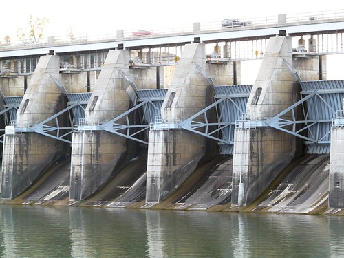
river sd missouri yankton gavinspointdam
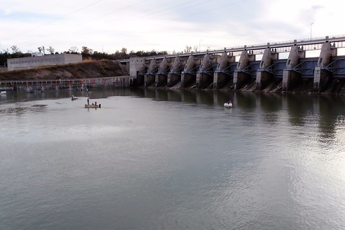
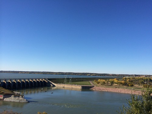
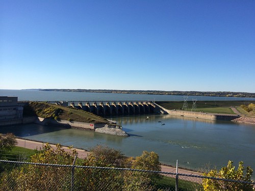
Gavins Point Dam
river sd missouri yankton gavinspointdam
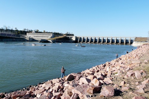
Gavins Point Dam
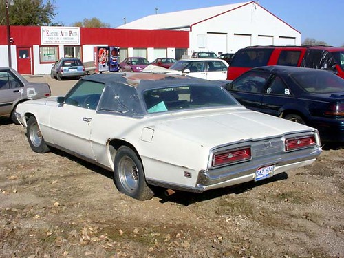
thunderbird tbird
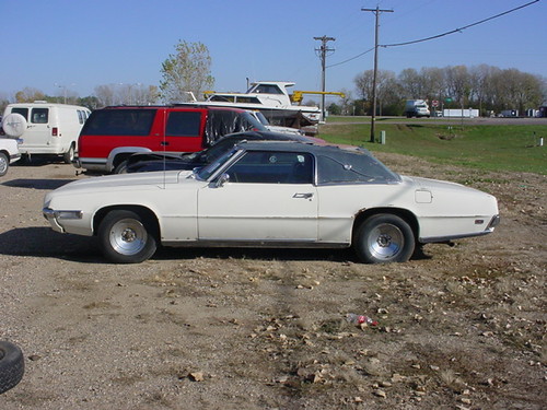
Old Ford Thunderbird
ford 1969 thunderbird
69 T-Bird - Left Side View
river sd missouri yankton gavinspointdam
Gavins Point Dam
chevrolet truck dumptruck chevy 1950 4100
1950 Chevrolet 4100 Series 5 Ton Dump Truck - Rear Left View
chevrolet truck dumptruck chevy 1950 4100
1950 Chevrolet 4100 Series 5 Ton Dump Truck - Rear End View
ford 1969 429 thunderjet
429 Thunder Jet V-8 - Driver Side View
ford 1969 429 thunderjet
429 Thunder Jet V-8 - Passenger Side View
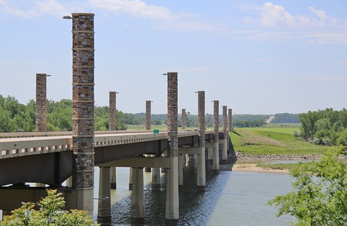
southdakota missouririver 2016 yankton discoverybridge
0U1A8981 Yankton SD - Discovery Bridge - Missouri River, view of Nebraska side
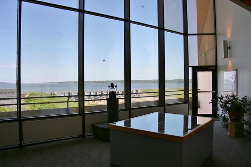
museum army nebraska missouririver visitorcenter 2016 corpsofengineers yankton lewisandclarklake gavinspointdam nrr
0U1A9031 Lewis and Clark Visitor Center - view of Gavins Point Dam
ford 1969 thunderbird
1969 Ford T-Bird - Left Rear View
southdakota unitedstates yankton gavinspointdam
Gavin's Point Dam
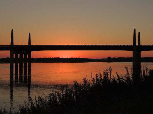
road bridge blue sunset red sky orange black fall nature water silhouette southdakota river evening nikon midwest dusk bank september explore missouririver us81 yankton explored inexplore discoverybridge p510
Discovery Bridge Sunset
morning red sky orange sun nature water silhouette yellow southdakota sunrise river landscape pier dock nikon midwest missouririver yankton p510
Daybreak on the Missouri
2013-10-24 16.18.00
nebraska lewisandclarkstatepark hideawayacres
IMG_2396.JPG
digital nikoncoolpixp500
Might Mo
nebraska lewisandclarkstatepark hideawayacres
IMG_2393.JPG
digital nikoncoolpixp500
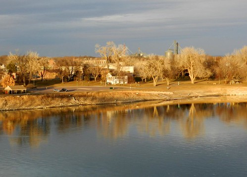
Riverside Park and Territorial Capitol
2013-10-24 16.17.52
(2014-07-26) - 0496
usa southdakota unitedstates missouririver yankton
Missouri River Image 2 12-22-2005 Photo
2013-10-24 16.17.55
digital sodak ourfarm yankton cannoneosrebelxsi
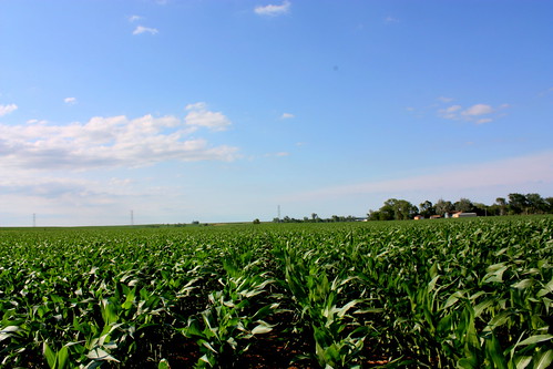
northern sky over the corn
river nebraska flood 2011 bennelson southsiouxcity
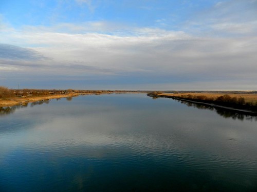
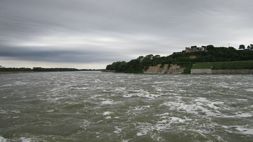
Looking down the Missouri River from Gavins Point Dam
(2014-07-26) - 0756
nebraska lewisandclarkstatepark hideawayacres
IMG_2421.JPG
Meridian Bridge
digital sodak ourfarm yankton cannoneosrebelxsi
swather and bales
digital sodak ourfarm yankton cannoneosrebelxsi
south over hay field