Elevation of Gatewood Township, MO, USA
Location: United States > Missouri > Ripley County >
Longitude: -91.0777723
Latitude: 36.5829432
Elevation: 210m / 689feet
Barometric Pressure: 0KPa
Related Photos:

Green Field

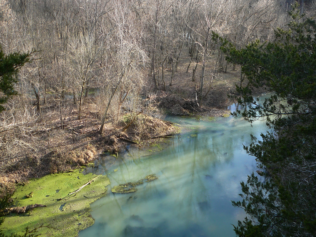
161016 Eleven Point River

green,green grass

Blue Spring!

Sunrise 11-01-11text

Fan-tastic!

What th heck...it's a photo op!

storm clouds

no,no,dont!

Intense natural light

Boze Mill Spring

December 30, 2013 | A picnic table at The Narrows | Oregon County MO

December 30, 2013 | Blue Spring overlook | Oregon County MO

December 30, 2013 | More signage at The Narrows | Oregon County MO

December 30, 2013 | Signboard at the Narrows | Oregon County MO

December 30, 2013 | Signage at The Narrows | Oregon County MO
30 December 2013 | Blue Spring | Oregon County MO

Johnston Chapel Cemetery, Ripley County (Mo.), 12 September 2013

Johnston Chapel Methodist Church, Ripley County (Mo.), 12 September 2013

Our new 51' Samsung TV!

living room

stealth 002

stealth 003
Topographic Map of Gatewood Township, MO, USA
Find elevation by address:

Places in Gatewood Township, MO, USA:
Places near Gatewood Township, MO, USA:
Gatewood
County Road 140
Doniphan
Ripley County
Doniphan Township
Falling Spring Township
Alton
Carter County
Green Mountain Road
Falling Spring Township, MO, USA
Van Buren
Pike Township
Johnson Township
Carter Township
Deer Run 1
3 S Cane Ave, Ellsinore, MO, USA
Ellsinore
Winona
County Road 434
Beaver Dam Township
Recent Searches:
- Elevation of 8, Rue de Bécancour, Blainville, Thérèse-De Blainville, Quebec, J7B1N2, Canada
- Elevation of Wilmot Court North, 163, University Avenue West, Northdale, Waterloo, Region of Waterloo, Ontario, N2L6B6, Canada
- Elevation map of Panamá Province, Panama
- Elevation of Balboa, Panamá Province, Panama
- Elevation of San Miguel, Balboa, Panamá Province, Panama
- Elevation of Isla Gibraleón, San Miguel, Balboa, Panamá Province, Panama
- Elevation of 4655, Krischke Road, Schulenburg, Fayette County, Texas, 78956, USA
- Elevation of Carnegie Avenue, Downtown Cleveland, Cleveland, Cuyahoga County, Ohio, 44115, USA
- Elevation of Walhonding, Coshocton County, Ohio, USA
- Elevation of Clifton Down, Clifton, Bristol, City of Bristol, England, BS8 3HU, United Kingdom
- Elevation map of Auvergne-Rhône-Alpes, France
- Elevation map of Upper Savoy, Auvergne-Rhône-Alpes, France
- Elevation of Chamonix-Mont-Blanc, Upper Savoy, Auvergne-Rhône-Alpes, France
- Elevation of 908, Northwood Drive, Bridge Field, Chesapeake, Virginia, 23322, USA
- Elevation map of Nagano Prefecture, Japan
- Elevation of 587, Bascule Drive, Oakdale, Stanislaus County, California, 95361, USA
- Elevation of Stadion Wankdorf, Sempachstrasse, Breitfeld, Bern, Bern-Mittelland administrative district, Bern, 3014, Switzerland
- Elevation of Z024, 76, Emil-von-Behring-Straße, Marbach, Marburg, Landkreis Marburg-Biedenkopf, Hesse, 35041, Germany
- Elevation of Gaskill Road, Hunts Cross, Liverpool, England, L24 9PH, United Kingdom
- Elevation of Speke, Liverpool, England, L24 9HD, United Kingdom