Elevation of Pike Township, MO, USA
Location: United States > Missouri > Carter County >
Longitude: -91.1736994
Latitude: 36.9913051
Elevation: 207m / 679feet
Barometric Pressure: 0KPa
Related Photos:

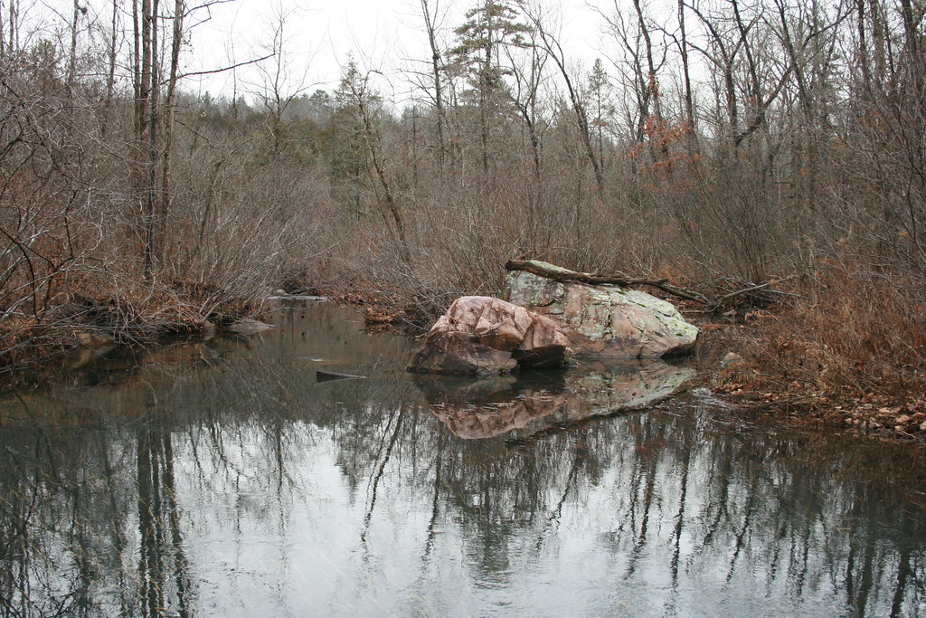
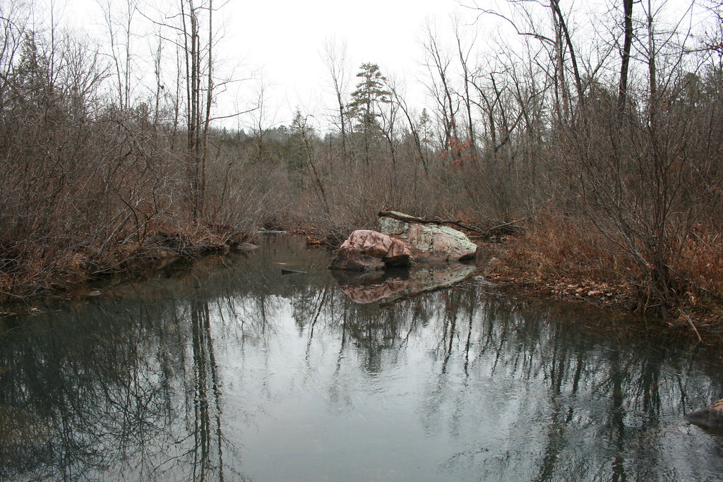
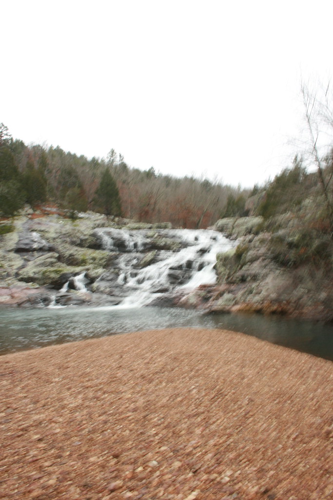
Peck Ranch

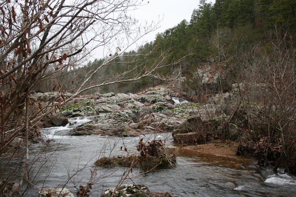
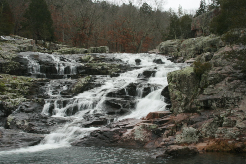
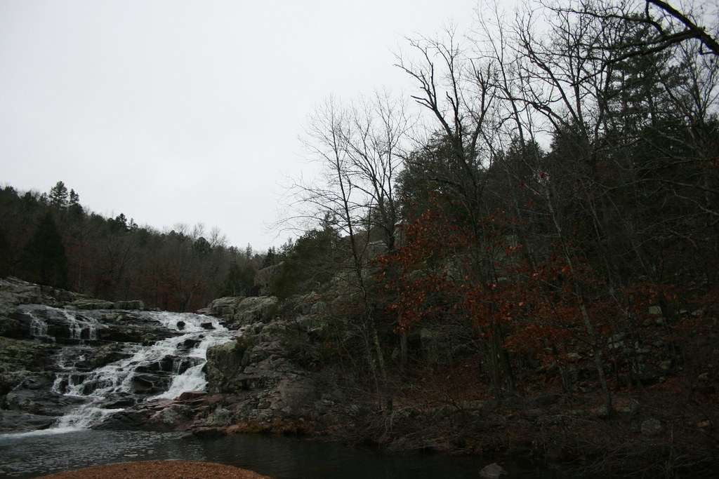
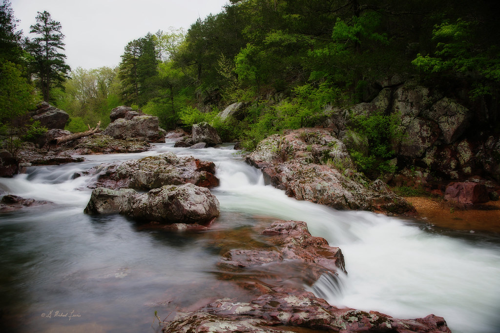
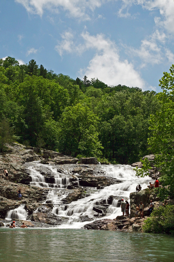
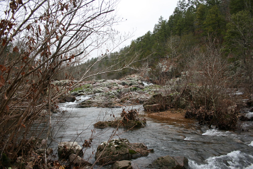
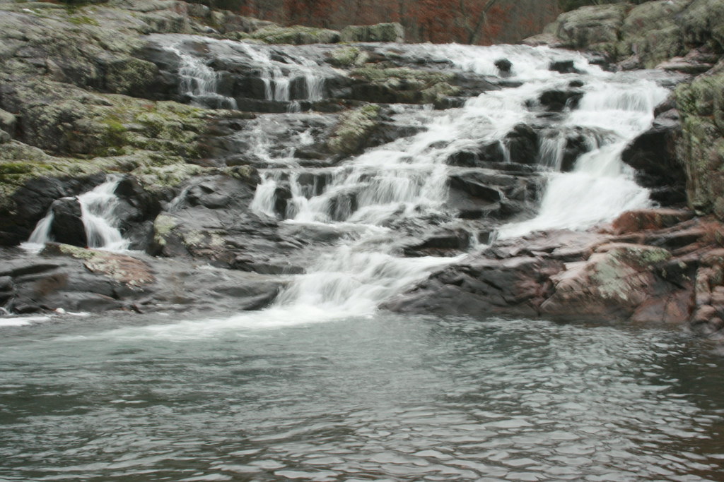
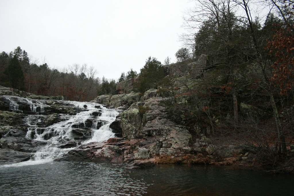
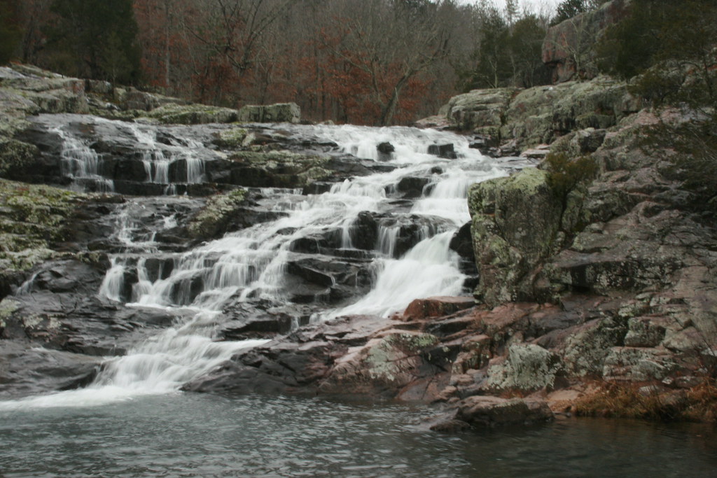
Rocky Falls
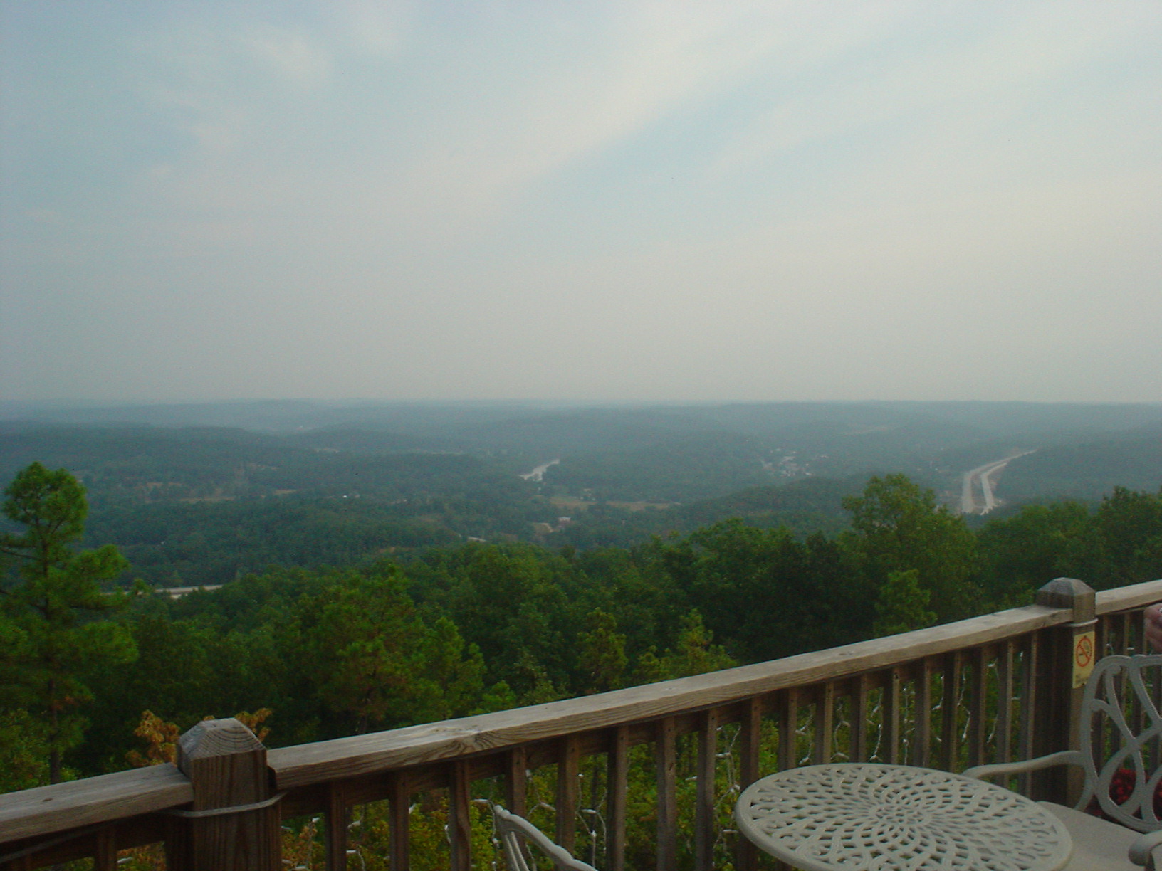
Day 2 - Breakfast View
In Color

Buddah munkie
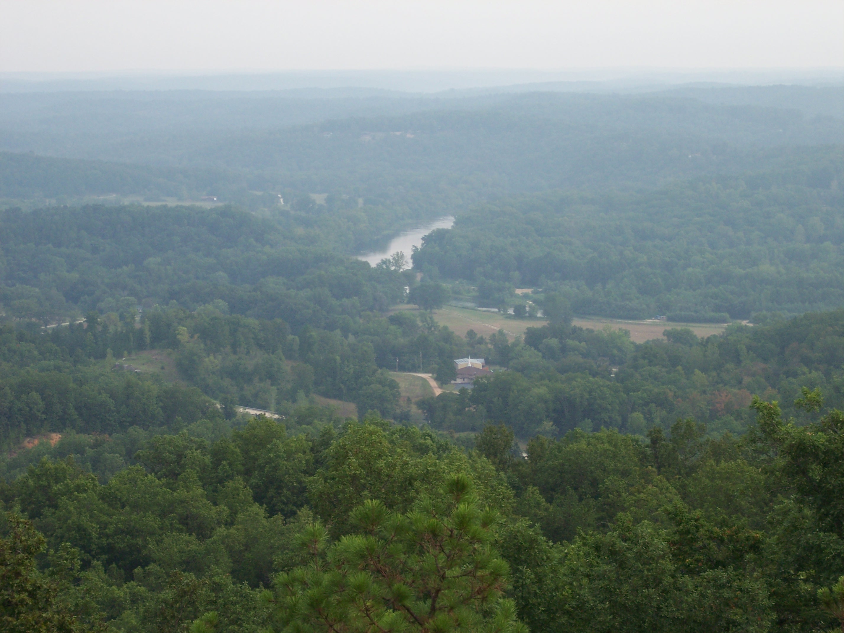
Day 2 - Van Buren, MO View
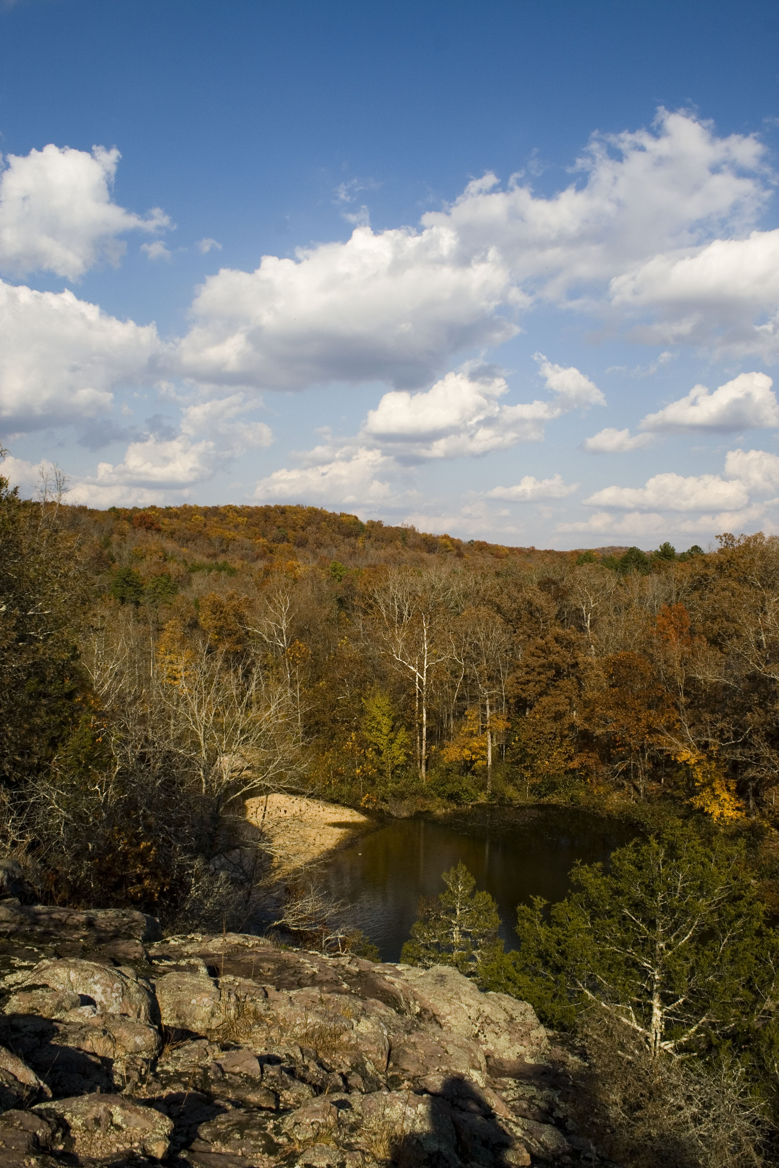
mint springs near Van Buren

Rocky Falls, Stegall Mountain Natural Area
IMG_2286.JPG

Rocky Falls
IMG_2287.JPG
IMG_2326.JPG
IMG_2278.JPG
IMG_2273.JPG
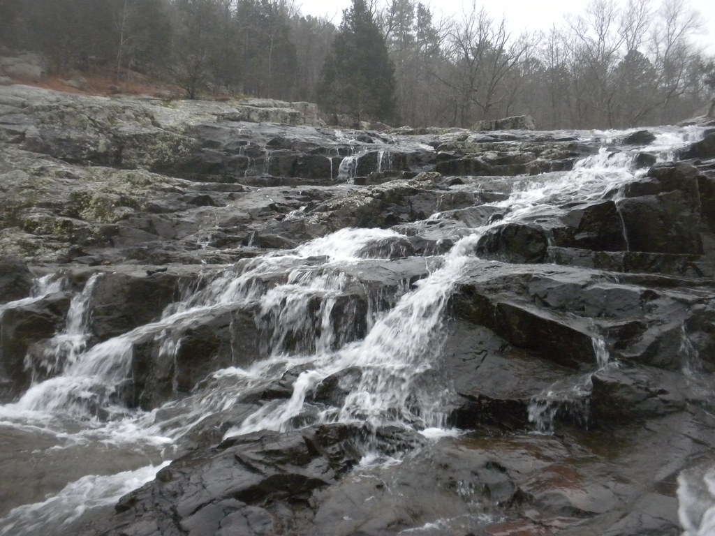
Rocky Falls

Rocky Falls, Stegall Mountain Natural Area
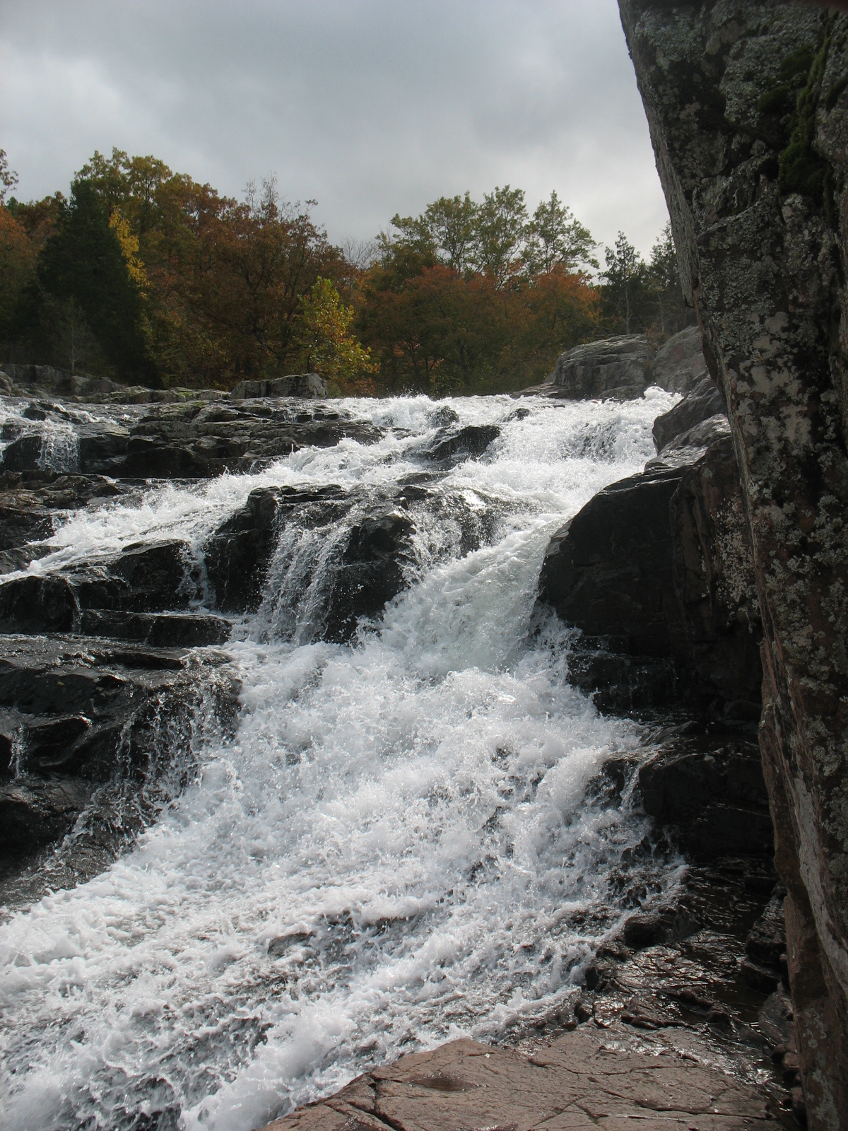
Rocky Falls Closeup
IMG_2268.JPG
Magical Places (5)
Missouri Ozarks
IMG_2327.JPG
IMG_2281.JPG
IMG_2283.JPG
IMG_2279.JPG
Topographic Map of Pike Township, MO, USA
Find elevation by address:

Places in Pike Township, MO, USA:
Places near Pike Township, MO, USA:
Green Mountain Road
Carter Township
Deer Run 1
Winona
Van Buren
Falling Spring Township
Falling Spring Township, MO, USA
Carter County
County Road 140
Alton
Newton Township
Webb Township
Johnson Township
Gatewood Township
Clearwater Lake
Gatewood
3 S Cane Ave, Ellsinore, MO, USA
Ellsinore
Reynolds County
Ripley County
Recent Searches:
- Elevation of Window Rock, Colfax County, New Mexico, 87714, USA
- Elevation of 4807, Rosecroft Street, Kempsville Gardens, Virginia Beach, Virginia, 23464, USA
- Elevation map of Matawinie, Quebec, Canada
- Elevation of Sainte-Émélie-de-l'Énergie, Matawinie, Quebec, Canada
- Elevation of Rue du Pont, Sainte-Émélie-de-l'Énergie, Matawinie, Quebec, J0K2K0, Canada
- Elevation of 8, Rue de Bécancour, Blainville, Thérèse-De Blainville, Quebec, J7B1N2, Canada
- Elevation of Wilmot Court North, 163, University Avenue West, Northdale, Waterloo, Region of Waterloo, Ontario, N2L6B6, Canada
- Elevation map of Panamá Province, Panama
- Elevation of Balboa, Panamá Province, Panama
- Elevation of San Miguel, Balboa, Panamá Province, Panama
- Elevation of Isla Gibraleón, San Miguel, Balboa, Panamá Province, Panama
- Elevation of 4655, Krischke Road, Schulenburg, Fayette County, Texas, 78956, USA
- Elevation of Carnegie Avenue, Downtown Cleveland, Cleveland, Cuyahoga County, Ohio, 44115, USA
- Elevation of Walhonding, Coshocton County, Ohio, USA
- Elevation of Clifton Down, Clifton, Bristol, City of Bristol, England, BS8 3HU, United Kingdom
- Elevation map of Auvergne-Rhône-Alpes, France
- Elevation map of Upper Savoy, Auvergne-Rhône-Alpes, France
- Elevation of Chamonix-Mont-Blanc, Upper Savoy, Auvergne-Rhône-Alpes, France
- Elevation of 908, Northwood Drive, Bridge Field, Chesapeake, Virginia, 23322, USA
- Elevation map of Nagano Prefecture, Japan