Elevation of Gatewood, MO, USA
Location: United States > Missouri > Ripley County > Gatewood Township >
Longitude: -91.089688
Latitude: 36.5768247
Elevation: -10000m / -32808feet
Barometric Pressure: 295KPa
Elevation Map:
Satellite Map:
Related Photos:

Green Field

Sunrise 11-01-11text

green,green grass

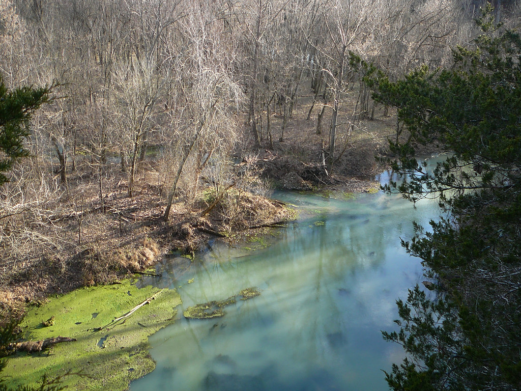
Blue Spring!

161016 Eleven Point River

Our new 51' Samsung TV!

A clean room! I had to take a picture...

Intense natural light

Boze Mill Spring

December 30, 2013 | Blue Spring overlook | Oregon County MO

December 30, 2013 | More signage at The Narrows | Oregon County MO

December 30, 2013 | Signboard at the Narrows | Oregon County MO

December 30, 2013 | Signage at The Narrows | Oregon County MO
30 December 2013 | Blue Spring | Oregon County MO

Johnston Chapel Cemetery, Ripley County (Mo.), 12 September 2013

Johnston Chapel Methodist Church, Ripley County (Mo.), 12 September 2013

Fan-tastic!

living room

stealth 002

stealth 003

stealth 001

woodstove 002

smokestack 002edit
Topographic Map of Gatewood, MO, USA
Find elevation by address:

Places near Gatewood, MO, USA:
Gatewood Township
County Road 140
Doniphan
Ripley County
Doniphan Township
Falling Spring Township
Alton
Carter County
Green Mountain Road
Falling Spring Township, MO, USA
Pike Township
Van Buren
Carter Township
Johnson Township
Deer Run 1
Winona
3 S Cane Ave, Ellsinore, MO, USA
Ellsinore
County Road 434
Beaver Dam Township
Recent Searches:
- Elevation of Corso Fratelli Cairoli, 35, Macerata MC, Italy
- Elevation of Tallevast Rd, Sarasota, FL, USA
- Elevation of 4th St E, Sonoma, CA, USA
- Elevation of Black Hollow Rd, Pennsdale, PA, USA
- Elevation of Oakland Ave, Williamsport, PA, USA
- Elevation of Pedrógão Grande, Portugal
- Elevation of Klee Dr, Martinsburg, WV, USA
- Elevation of Via Roma, Pieranica CR, Italy
- Elevation of Tavkvetili Mountain, Georgia
- Elevation of Hartfords Bluff Cir, Mt Pleasant, SC, USA