Elevation of Doniphan, MO, USA
Location: United States > Missouri > Ripley County > Doniphan Township >
Longitude: -90.823455
Latitude: 36.6208917
Elevation: 123m / 404feet
Barometric Pressure: 100KPa
Elevation Map:
Satellite Map:
Related Photos:
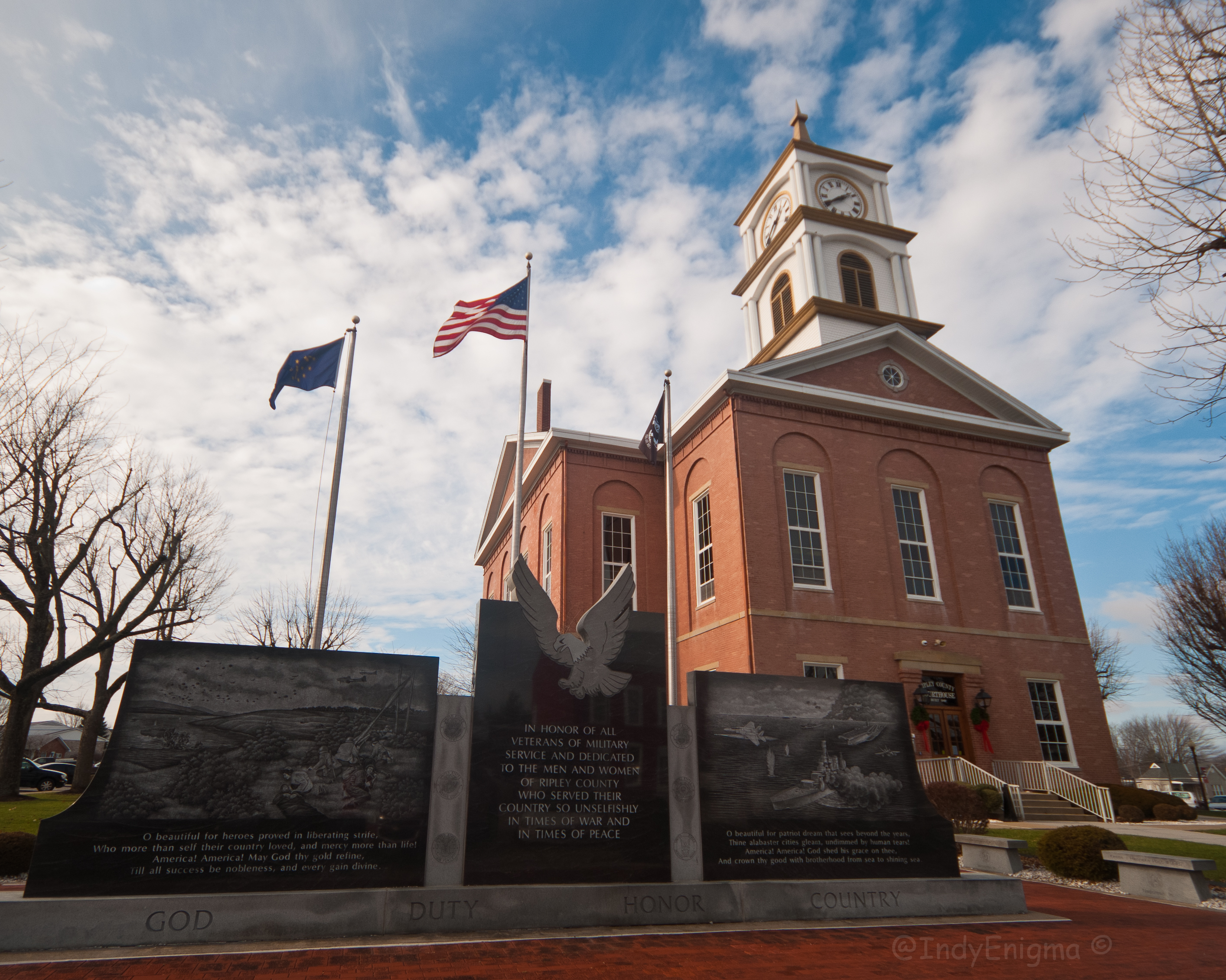
courthouse & memorial
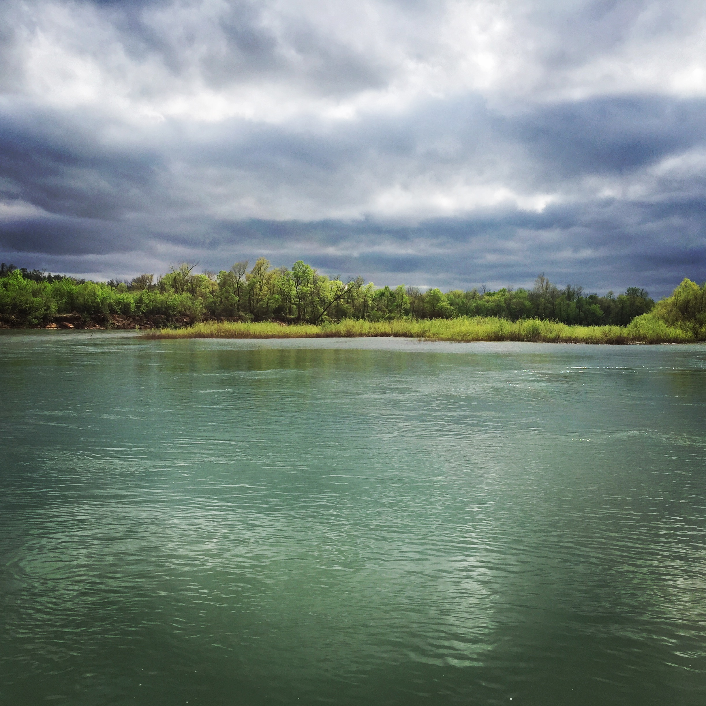
Current River in Spring
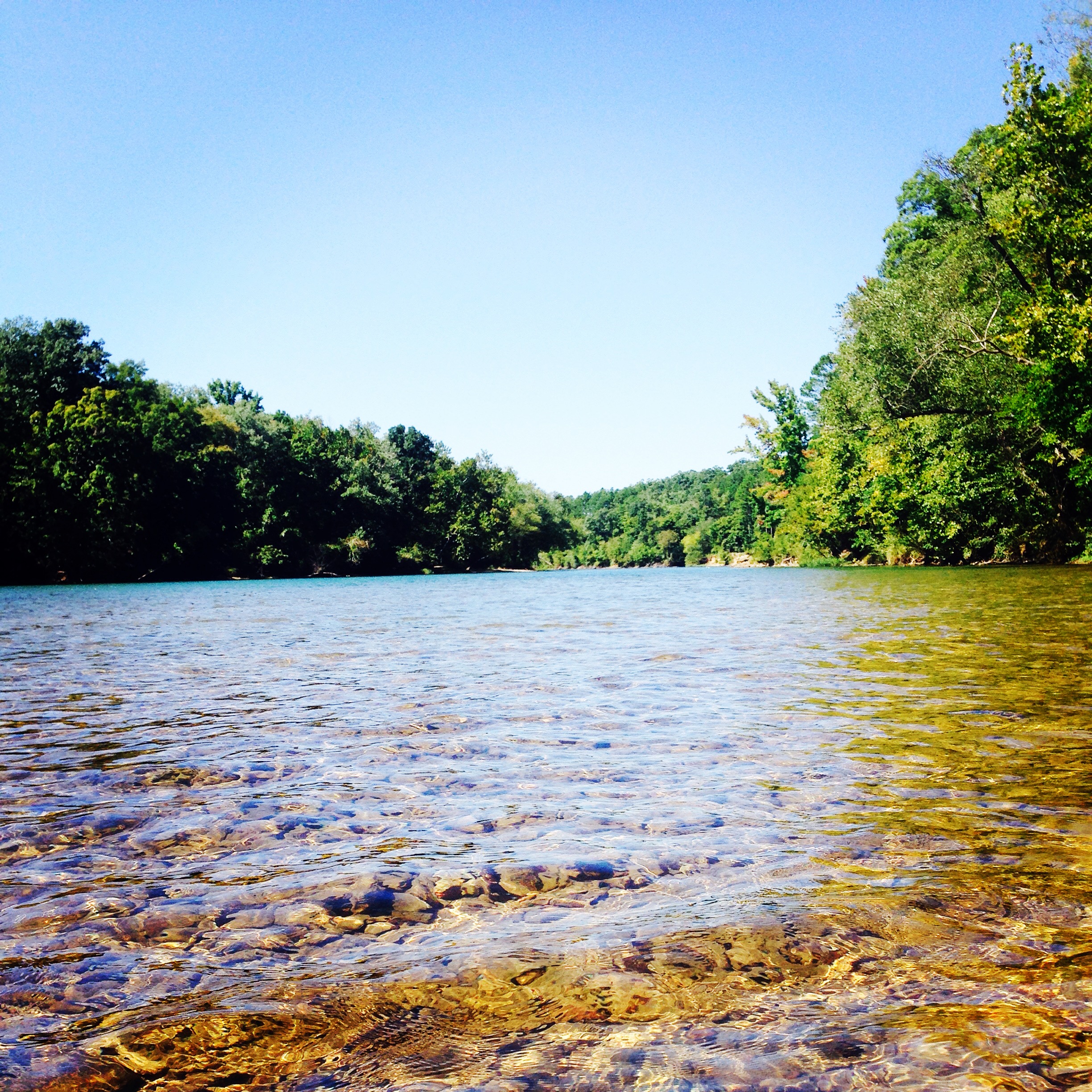
Current River

Frosty Morning

Kayaking Current River

Corgi at the River

Backyard, Saturday morning. River is finally clear. #currentriver

Current River Flood
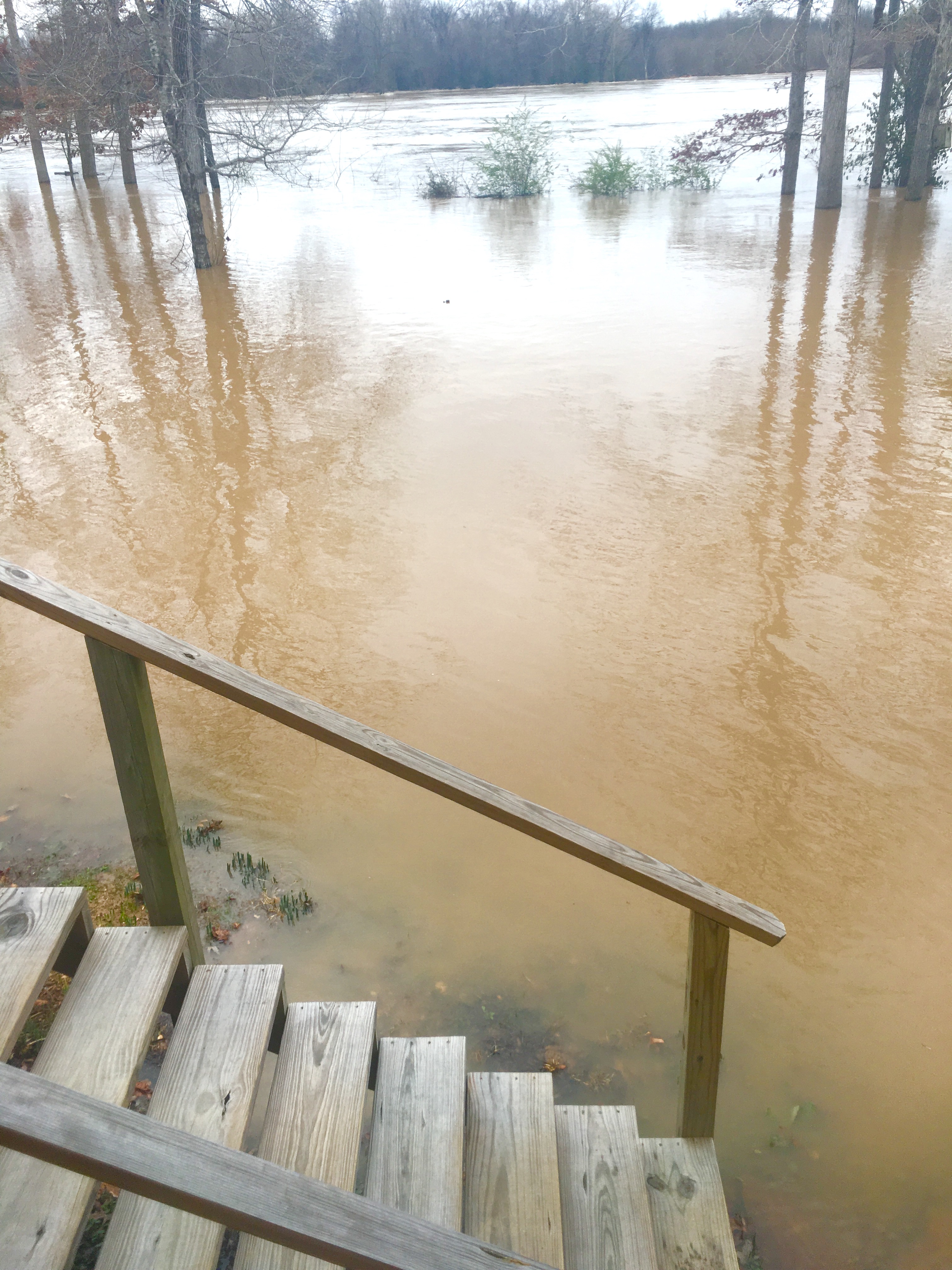
Current River Flood

Zephyr Squash

Raspberries 2016

Ripley County Courthouse
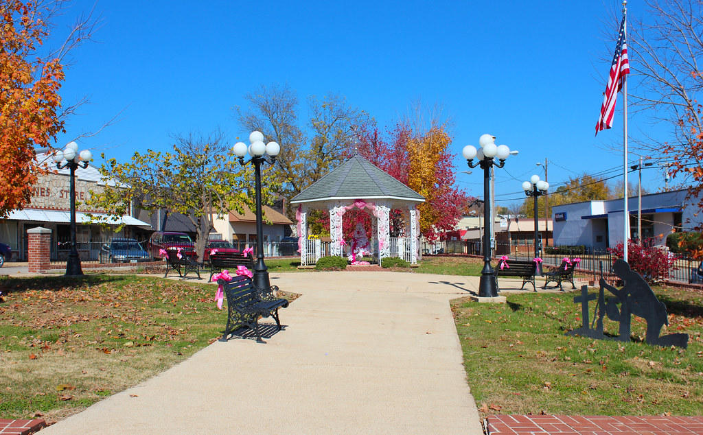
Doniphan Heritage Park

Jungle Gym
Heritage Park

Doniphan Bank Building
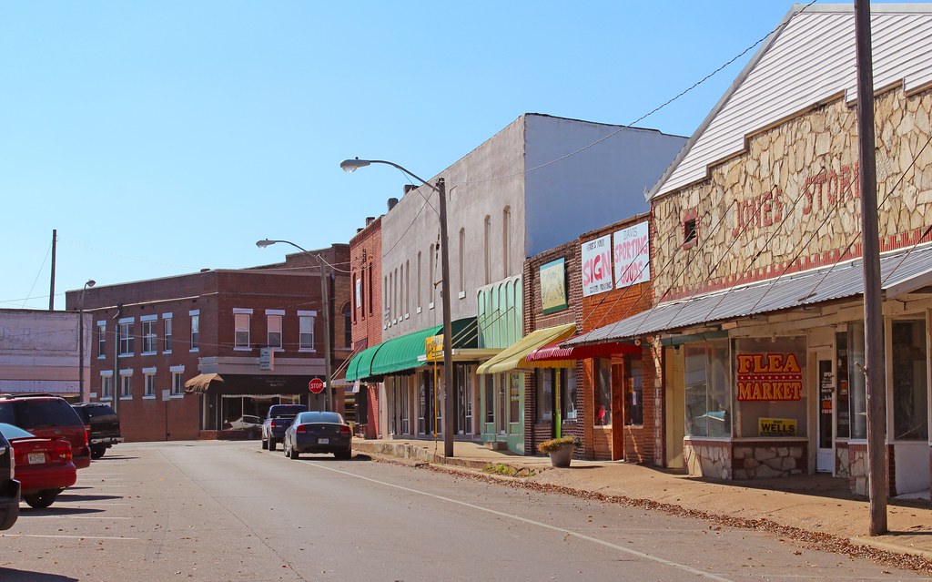
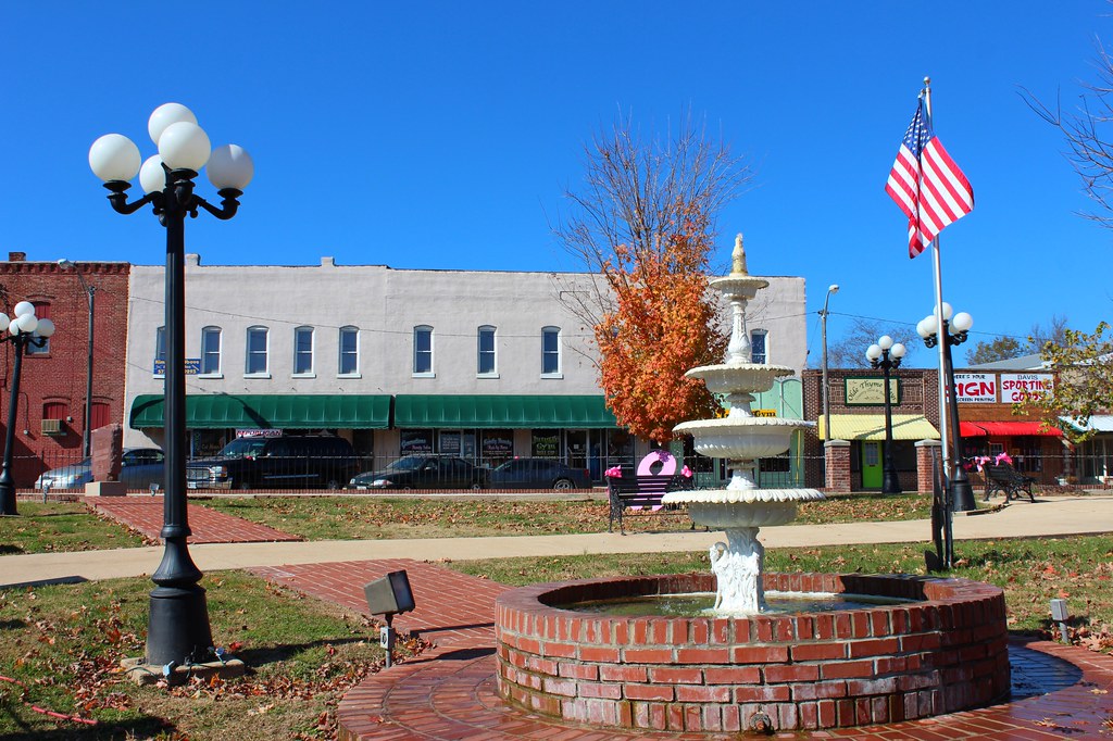
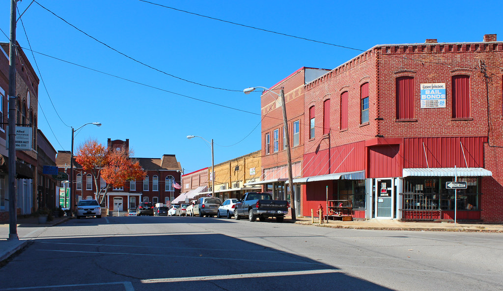
Downtown Doniphan - State Street

Doniphan Public Library
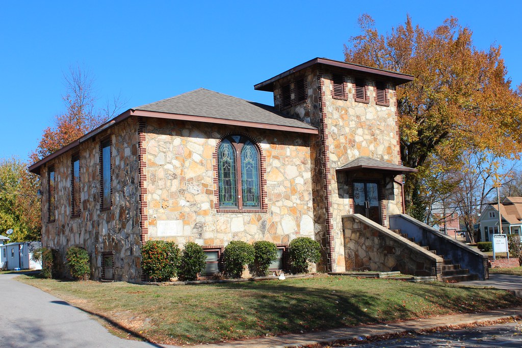
Doniphan First Presbyterian Church
Downtown Doniphan

Doniphan Courthouse Clock Tower
Topographic Map of Doniphan, MO, USA
Find elevation by address:

Places near Doniphan, MO, USA:
Doniphan Township
Ripley County
Gatewood Township
Gatewood
Johnson Township
County Road 434
Beaver Dam Township
Carter County
Ellsinore
3 S Cane Ave, Ellsinore, MO, USA
Epps Township
Township Line Rd, Poplar Bluff, MO, USA
Red Hawk Lane
Kanell Blvd, Poplar Bluff, MO, USA
County Road 465
County Road 140
40 Co Rd 466
215 Rugby Ln
Van Buren
Poplar Bluff Township
Recent Searches:
- Elevation of Corso Fratelli Cairoli, 35, Macerata MC, Italy
- Elevation of Tallevast Rd, Sarasota, FL, USA
- Elevation of 4th St E, Sonoma, CA, USA
- Elevation of Black Hollow Rd, Pennsdale, PA, USA
- Elevation of Oakland Ave, Williamsport, PA, USA
- Elevation of Pedrógão Grande, Portugal
- Elevation of Klee Dr, Martinsburg, WV, USA
- Elevation of Via Roma, Pieranica CR, Italy
- Elevation of Tavkvetili Mountain, Georgia
- Elevation of Hartfords Bluff Cir, Mt Pleasant, SC, USA