Elevation of GA-29, Vidalia, GA, USA
Location: United States > Georgia > Toombs County > Vidalia >
Longitude: -82.375027
Latitude: 32.1117998
Elevation: 71m / 233feet
Barometric Pressure: 100KPa
Elevation Map:
Satellite Map:
Related Photos:

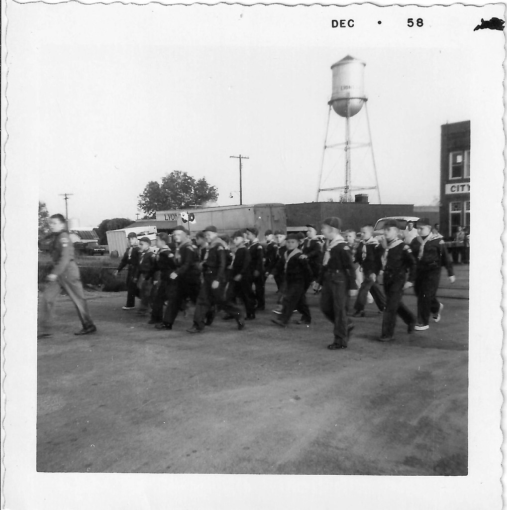
Lyons Cub 2

Lyons Cub 4

Lyons Cub 3

Lyons Cub 5

Lyons Cub 1
Lyons Cub Parade 1
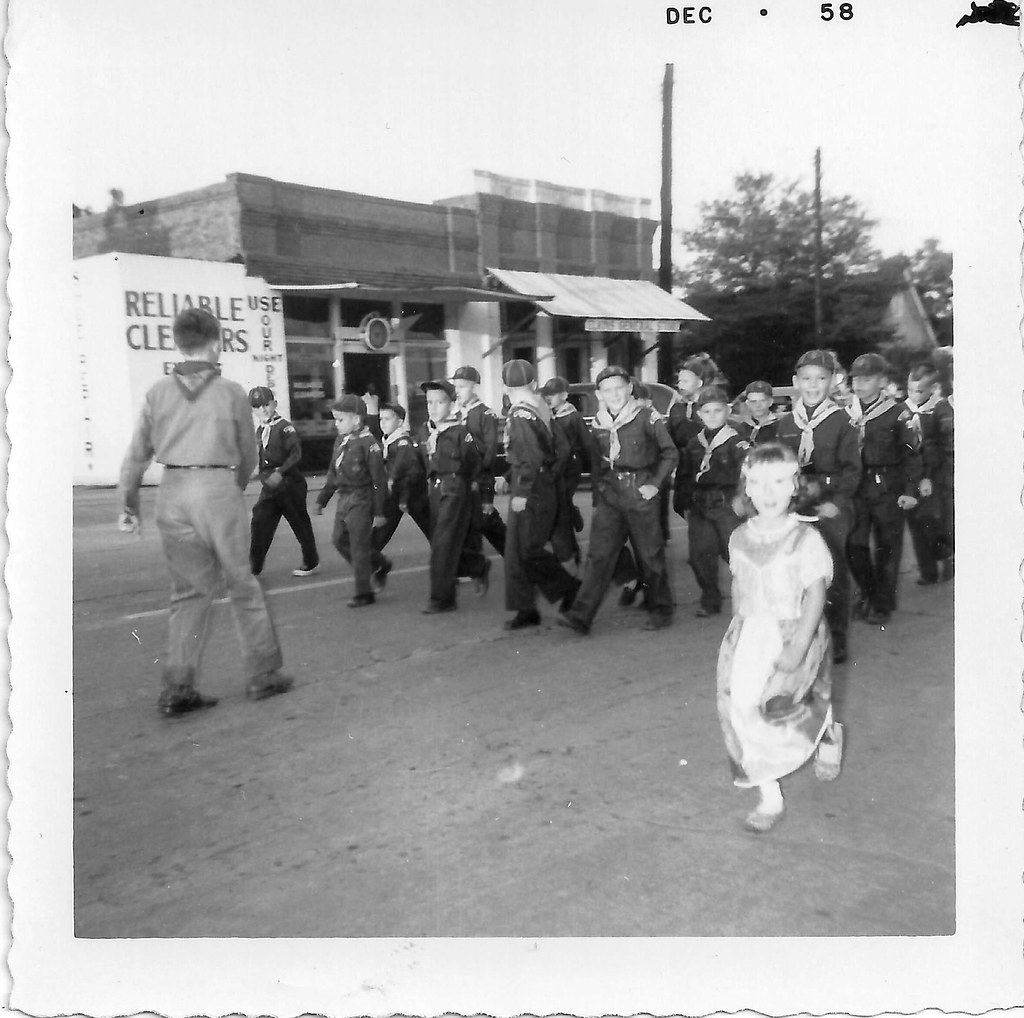
Lyons Cub Parade 3

Lyons Cub Parade 2
From the Locomotive

A field of dead sunflowers …

Skyway …

Tangled …

Old Barn
Sun-kissed …

Fig tree kissing autumn …

Hay …
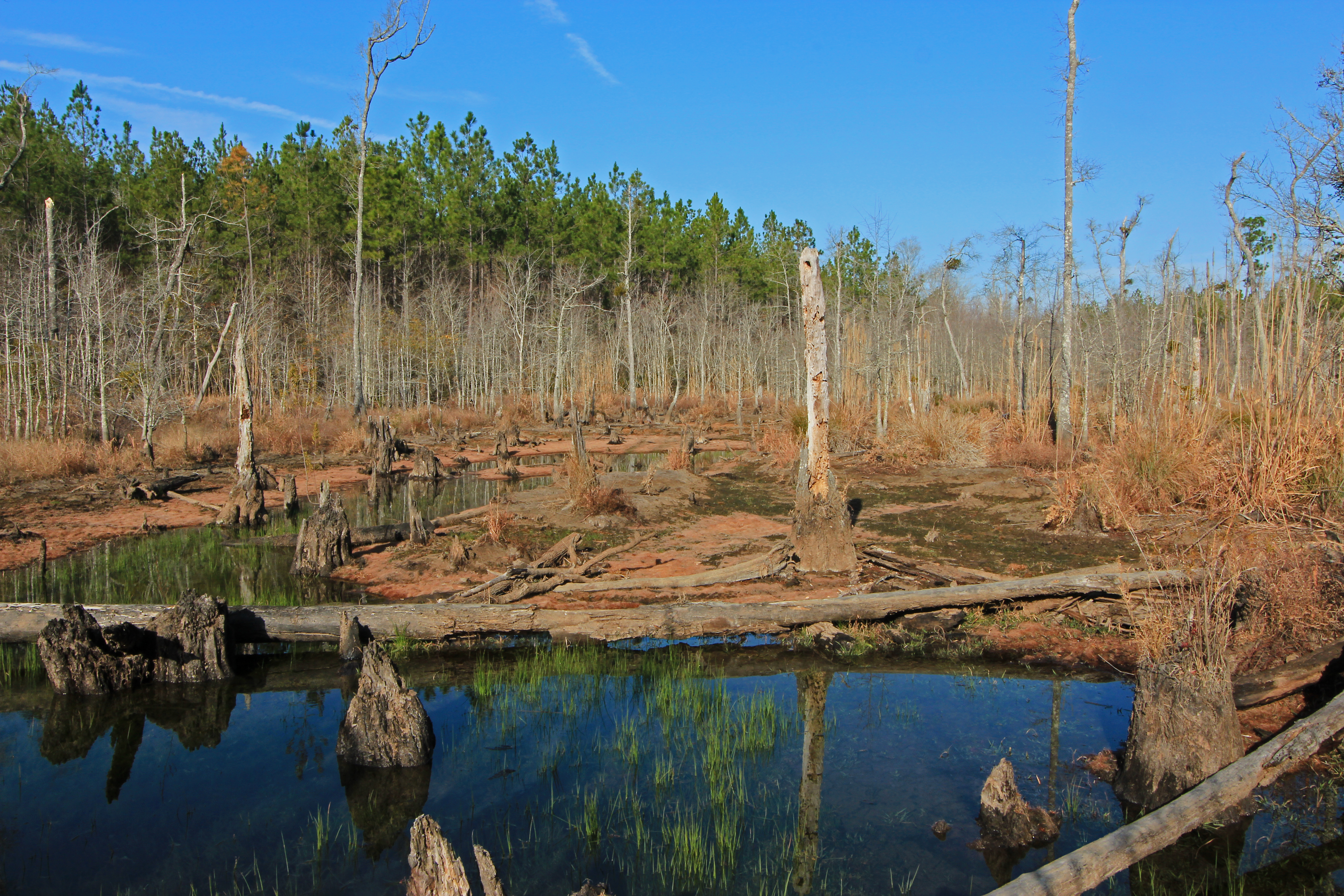
beaver pond, Cobb Creek, at Highway 130, Toombs County, Georgia 1

Forest …

Deep forest …

Shrub …
Topographic Map of GA-29, Vidalia, GA, USA
Find elevation by address:

Places near GA-29, Vidalia, GA, USA:
Toombs County
21 Sleigh St, Lyons, GA, USA
Georgia 178
Georgia 178
Lyons
NE Broad St, Lyons, GA, USA
GA-, Uvalda, GA, USA
Alston
Vidalia
Church St, Vidalia, GA, USA
Hawk's Point Golf Club
405 Kenworth St
305 North St W
Brice Dr, Vidalia, GA, USA
John Davis Circle
R T Stanley Rd, Lyons, GA, USA
James St, Ailey, GA, USA
Co Rd, Ailey, GA, USA
Uvalda
313 W Myrtle St
Recent Searches:
- Elevation of Corso Fratelli Cairoli, 35, Macerata MC, Italy
- Elevation of Tallevast Rd, Sarasota, FL, USA
- Elevation of 4th St E, Sonoma, CA, USA
- Elevation of Black Hollow Rd, Pennsdale, PA, USA
- Elevation of Oakland Ave, Williamsport, PA, USA
- Elevation of Pedrógão Grande, Portugal
- Elevation of Klee Dr, Martinsburg, WV, USA
- Elevation of Via Roma, Pieranica CR, Italy
- Elevation of Tavkvetili Mountain, Georgia
- Elevation of Hartfords Bluff Cir, Mt Pleasant, SC, USA