Elevation of GA-, Uvalda, GA, USA
| Latitude | 32.0800202 |
|---|---|
| Longitude | -82.4772955 |
| Elevation | 75m / 246feet |
| Barometric Pressure | 1004KPa |
Related Photos:
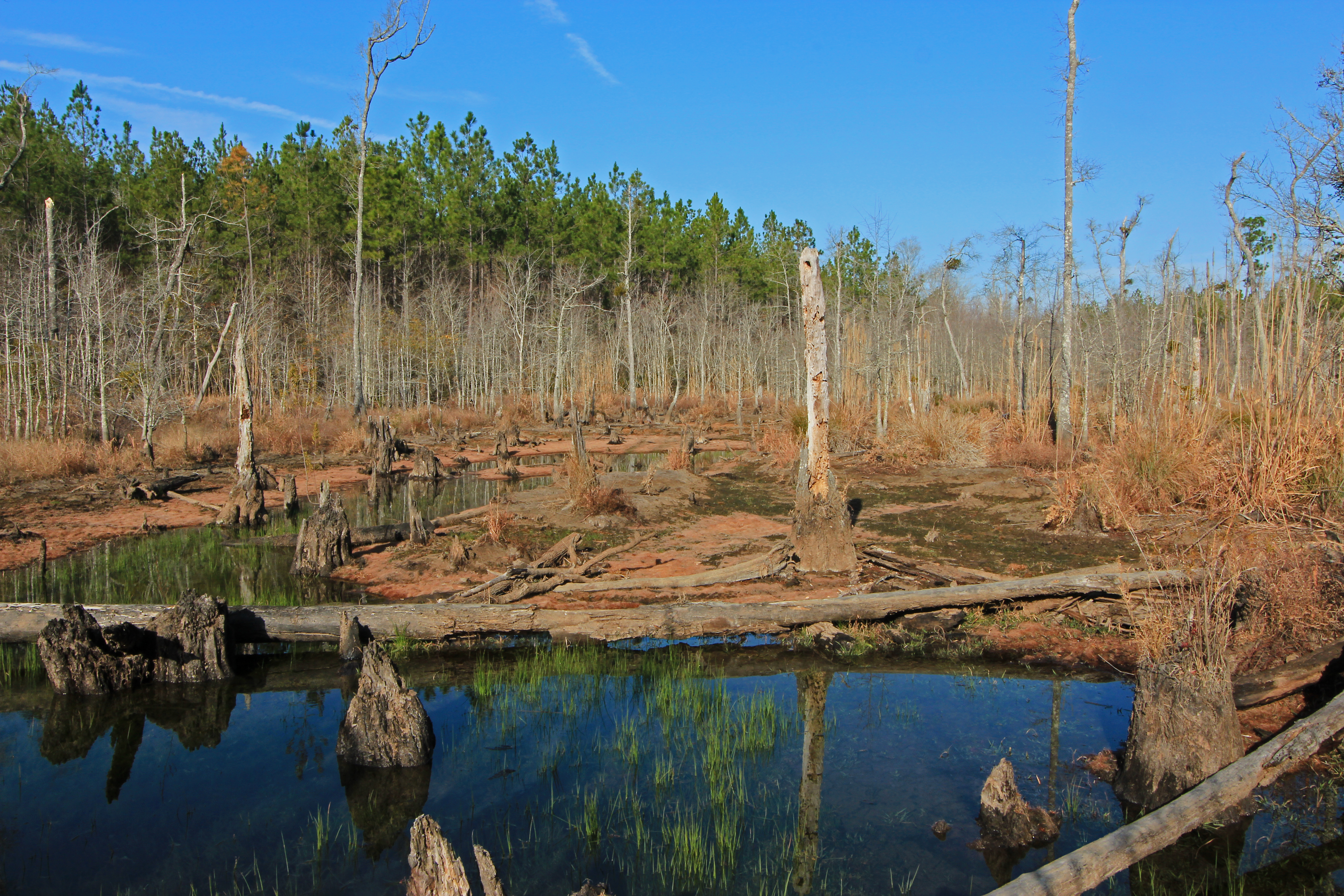
beaver pond, Cobb Creek, at Highway 130, Toombs County, Georgia 1
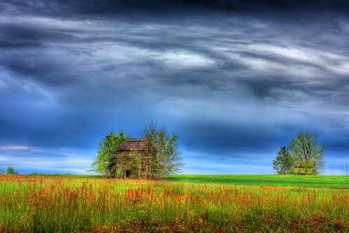
Barn n Field

Skyway …

Old Barn

Hay …
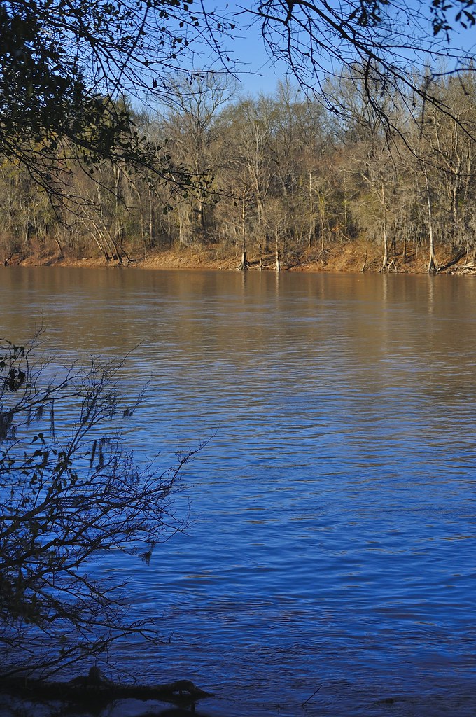
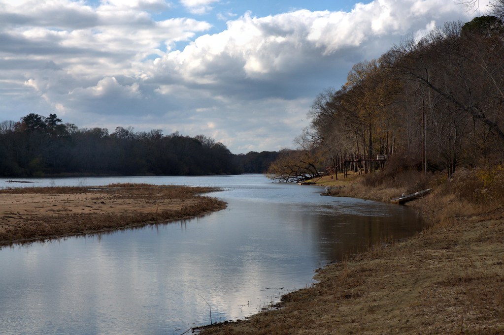
Altamaha River
Deep forest …
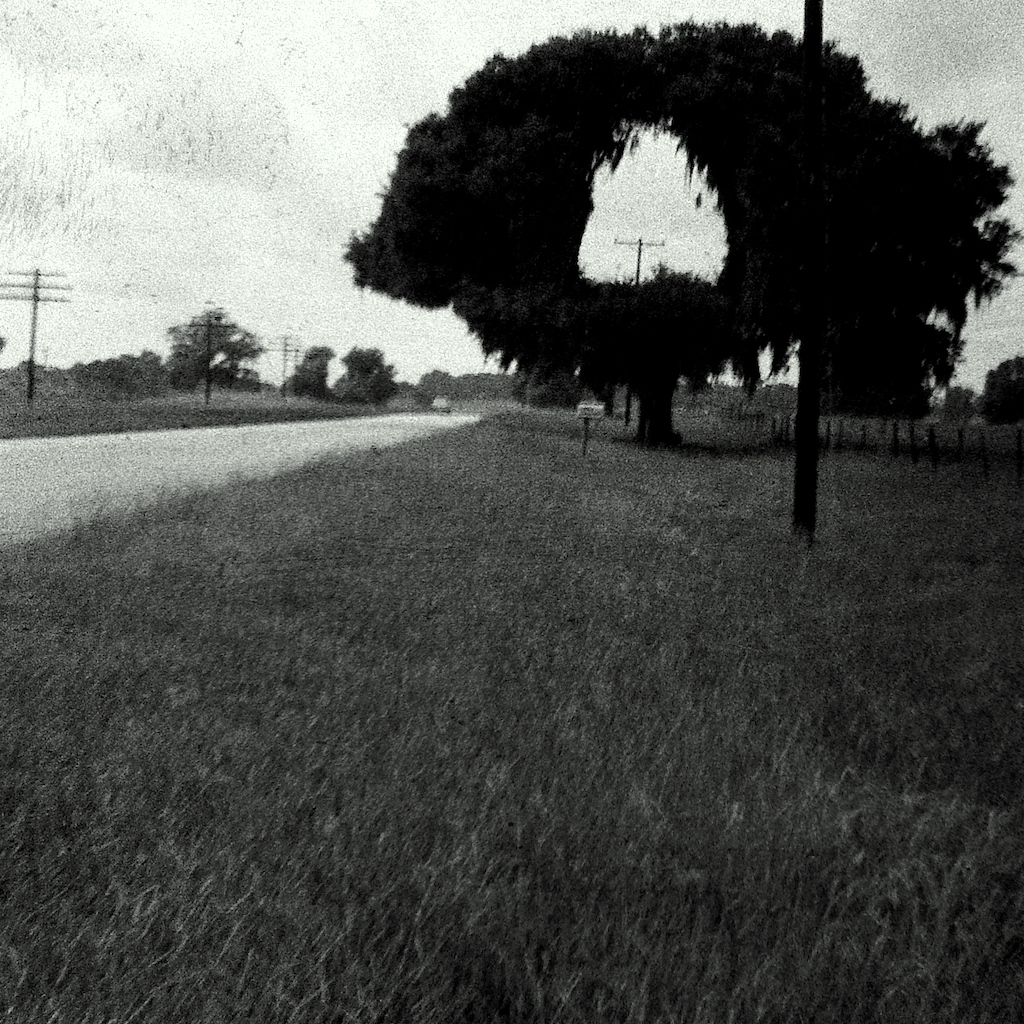
Hole in One

Camp Ground3
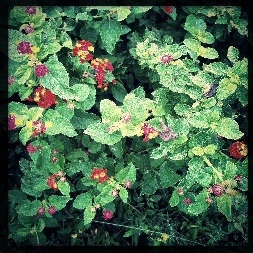
Shrub …
Gray's Landing, Toombs County

A field of dead sunflowers …
Topographic Map of GA-, Uvalda, GA, USA
Find elevation by address:
Places near GA-, Uvalda, GA, USA:
Alston
313 W Myrtle St
Uvalda
US-, Mt Vernon, GA, USA
GA-29, Vidalia, GA, USA
Co Rd, Ailey, GA, USA
Montgomery County
162 Three Rivers Ln
Altamaha River Road
1260 Three Rivers Ln
1260 Three Rivers Ln
Toombs County
James St, Ailey, GA, USA
Ailey
S Railroad St, Ailey, GA, USA
118 Gum St
831 Morris Rd
210 Rabbit Run
405 Kenworth St
Brice Dr, Vidalia, GA, USA
Recent Searches:
- Elevation of 104, Chancery Road, Middletown Township, Bucks County, Pennsylvania, 19047, USA
- Elevation of 1212, Cypress Lane, Dayton, Liberty County, Texas, 77535, USA
- Elevation map of Central Hungary, Hungary
- Elevation map of Pest, Central Hungary, Hungary
- Elevation of Pilisszentkereszt, Pest, Central Hungary, Hungary
- Elevation of Dharamkot Tahsil, Punjab, India
- Elevation of Bhinder Khurd, Dharamkot Tahsil, Punjab, India
- Elevation of 2881, Chabot Drive, San Bruno, San Mateo County, California, 94066, USA
- Elevation of 10370, West 107th Circle, Westminster, Jefferson County, Colorado, 80021, USA
- Elevation of 611, Roman Road, Old Ford, Bow, London, England, E3 2RW, United Kingdom
- Elevation of 116, Beartown Road, Underhill, Chittenden County, Vermont, 05489, USA
- Elevation of Window Rock, Colfax County, New Mexico, 87714, USA
- Elevation of 4807, Rosecroft Street, Kempsville Gardens, Virginia Beach, Virginia, 23464, USA
- Elevation map of Matawinie, Quebec, Canada
- Elevation of Sainte-Émélie-de-l'Énergie, Matawinie, Quebec, Canada
- Elevation of Rue du Pont, Sainte-Émélie-de-l'Énergie, Matawinie, Quebec, J0K2K0, Canada
- Elevation of 8, Rue de Bécancour, Blainville, Thérèse-De Blainville, Quebec, J7B1N2, Canada
- Elevation of Wilmot Court North, 163, University Avenue West, Northdale, Waterloo, Region of Waterloo, Ontario, N2L6B6, Canada
- Elevation map of Panamá Province, Panama
- Elevation of Balboa, Panamá Province, Panama