Elevation of Alston, GA, USA
Location: United States > Georgia > Montgomery County >
Longitude: -82.477630
Latitude: 32.080743
Elevation: 70m / 230feet
Barometric Pressure: 100KPa
Elevation Map:
Satellite Map:
Related Photos:

Barn n Field

Skyway …

Old Barn

Hay …

beaver pond, Cobb Creek, at Highway 130, Toombs County, Georgia 1

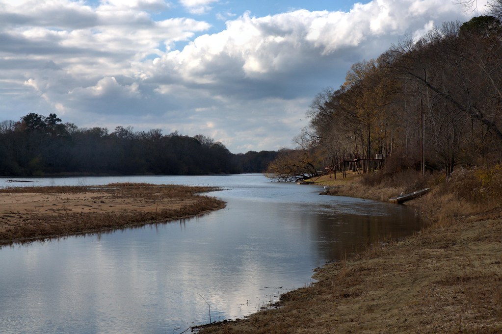
Altamaha River

Deep forest …
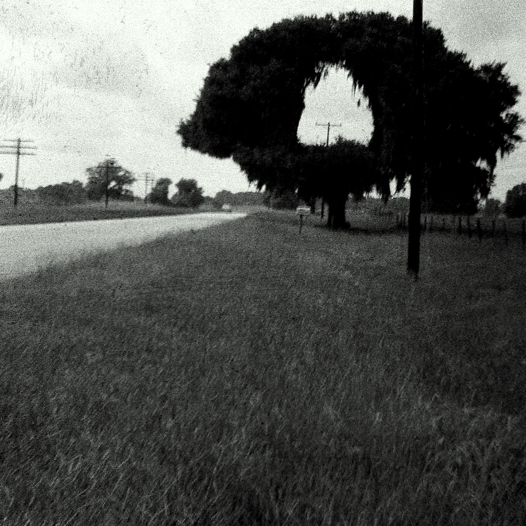
Hole in One

Camp Ground3

Shrub …
Gray's Landing, Toombs County

A field of dead sunflowers …
Topographic Map of Alston, GA, USA
Find elevation by address:

Places in Alston, GA, USA:
Places near Alston, GA, USA:
GA-, Uvalda, GA, USA
313 W Myrtle St
Uvalda
US-, Mt Vernon, GA, USA
Co Rd, Ailey, GA, USA
GA-29, Vidalia, GA, USA
Montgomery County
162 Three Rivers Ln
Altamaha River Road
1260 Three Rivers Ln
1260 Three Rivers Ln
Toombs County
James St, Ailey, GA, USA
Ailey
S Railroad St, Ailey, GA, USA
118 Gum St
831 Morris Rd
210 Rabbit Run
405 Kenworth St
Brice Dr, Vidalia, GA, USA
Recent Searches:
- Elevation of Corso Fratelli Cairoli, 35, Macerata MC, Italy
- Elevation of Tallevast Rd, Sarasota, FL, USA
- Elevation of 4th St E, Sonoma, CA, USA
- Elevation of Black Hollow Rd, Pennsdale, PA, USA
- Elevation of Oakland Ave, Williamsport, PA, USA
- Elevation of Pedrógão Grande, Portugal
- Elevation of Klee Dr, Martinsburg, WV, USA
- Elevation of Via Roma, Pieranica CR, Italy
- Elevation of Tavkvetili Mountain, Georgia
- Elevation of Hartfords Bluff Cir, Mt Pleasant, SC, USA