Elevation of R T Stanley Rd, Lyons, GA, USA
Location: United States > Georgia > Toombs County >
Longitude: -82.2504756
Latitude: 32.0730842
Elevation: 55m / 180feet
Barometric Pressure: 0KPa
Related Photos:

Lyons Cub 2

Lyons Cub 4

Lyons Cub 3

Lyons Cub 5

Lyons Cub 1
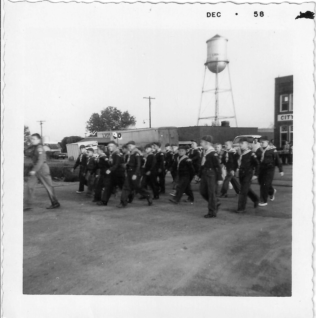
Lyons Cub Parade 1

Lyons Cub Parade 3

Lyons Cub Parade 2

A field of dead sunflowers …
Sun-kissed …
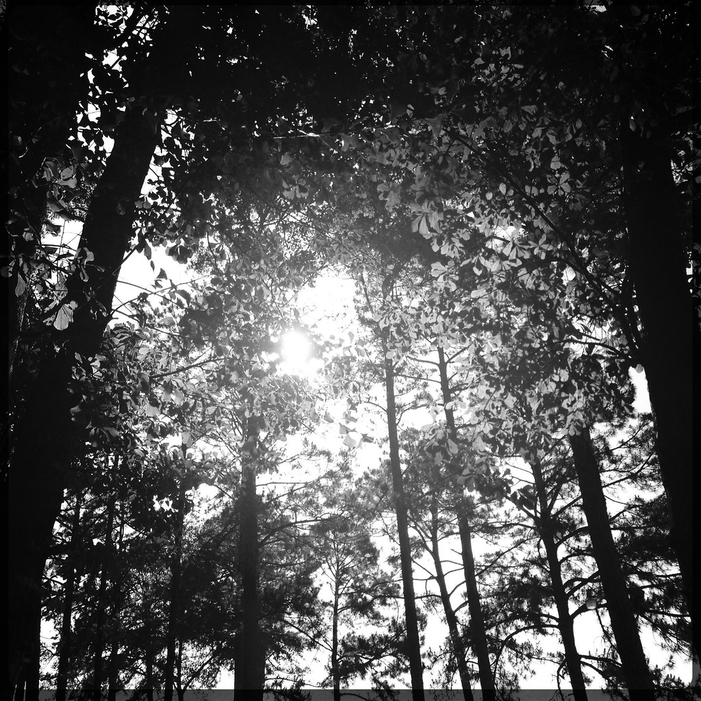
Forest …
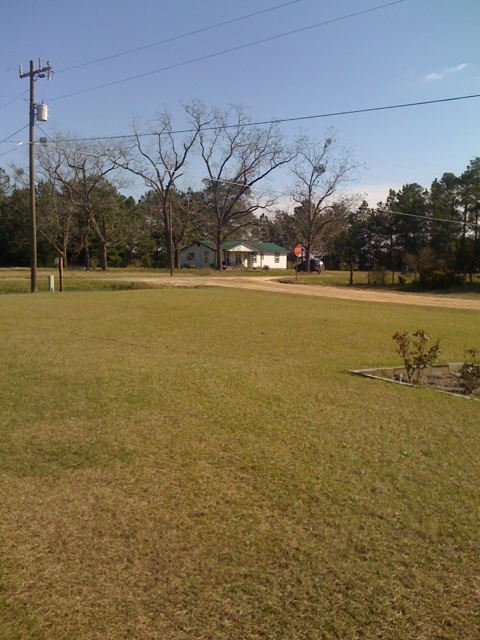
Reidsville, Dec 20, 2009
Topographic Map of R T Stanley Rd, Lyons, GA, USA
Find elevation by address:

Places near R T Stanley Rd, Lyons, GA, USA:
1025 Oak Bluff Plantation Rd
Toombs County
Earl Kemp Rd, Lyons, GA, USA
Brangus Lane
Gordonia Altamaha State Park
21 Sleigh St, Lyons, GA, USA
GA-29, Vidalia, GA, USA
Georgia 178
Georgia 178
W Brazell St, Reidsville, GA, USA
Reidsville
112 Roberta St
Lyons
NE Broad St, Lyons, GA, USA
Tattnall County
Collins
Manassas St, Collins, GA, USA
Davis Landing, Baxley, GA, USA
Deen's Landing Road
93 White Bluff Rd
Recent Searches:
- Elevation of Clifton Down, Clifton, Bristol, City of Bristol, England, BS8 3HU, United Kingdom
- Elevation map of Auvergne-Rhône-Alpes, France
- Elevation map of Upper Savoy, Auvergne-Rhône-Alpes, France
- Elevation of Chamonix-Mont-Blanc, Upper Savoy, Auvergne-Rhône-Alpes, France
- Elevation of 908, Northwood Drive, Bridge Field, Chesapeake, Virginia, 23322, USA
- Elevation map of Nagano Prefecture, Japan
- Elevation of 587, Bascule Drive, Oakdale, Stanislaus County, California, 95361, USA
- Elevation of Stadion Wankdorf, Sempachstrasse, Breitfeld, Bern, Bern-Mittelland administrative district, Bern, 3014, Switzerland
- Elevation of Z024, 76, Emil-von-Behring-Straße, Marbach, Marburg, Landkreis Marburg-Biedenkopf, Hesse, 35041, Germany
- Elevation of Gaskill Road, Hunts Cross, Liverpool, England, L24 9PH, United Kingdom
- Elevation of Speke, Liverpool, England, L24 9HD, United Kingdom
- Elevation of Seqirus, 475, Green Oaks Parkway, Holly Springs, Wake County, North Carolina, 27540, USA
- Elevation of Pasing, Munich, Bavaria, 81241, Germany
- Elevation of 24, Auburn Bay Crescent SE, Auburn Bay, Calgary, Alberta, T3M 0A6, Canada
- Elevation of Denver, 2314, Arapahoe Street, Five Points, Denver, Colorado, 80205, USA
- Elevation of Community of the Beatitudes, 2924, West 43rd Avenue, Sunnyside, Denver, Colorado, 80211, USA
- Elevation map of Litang County, Sichuan, China
- Elevation map of Madoi County, Qinghai, China
- Elevation of 3314, Ohio State Route 114, Payne, Paulding County, Ohio, 45880, USA
- Elevation of Sarahills Drive, Saratoga, Santa Clara County, California, 95070, USA