Elevation of Church St, Vidalia, GA, USA
Location: United States > Georgia > Toombs County > Vidalia >
Longitude: -82.413253
Latitude: 32.2179931
Elevation: 91m / 299feet
Barometric Pressure: 100KPa
Elevation Map:
Satellite Map:
Related Photos:

Lyons Cub 4

Lyons Cub 2

Lyons Cub Parade 2

Lyons Cub 3

Lyons Cub 5

Lyons Cub 1
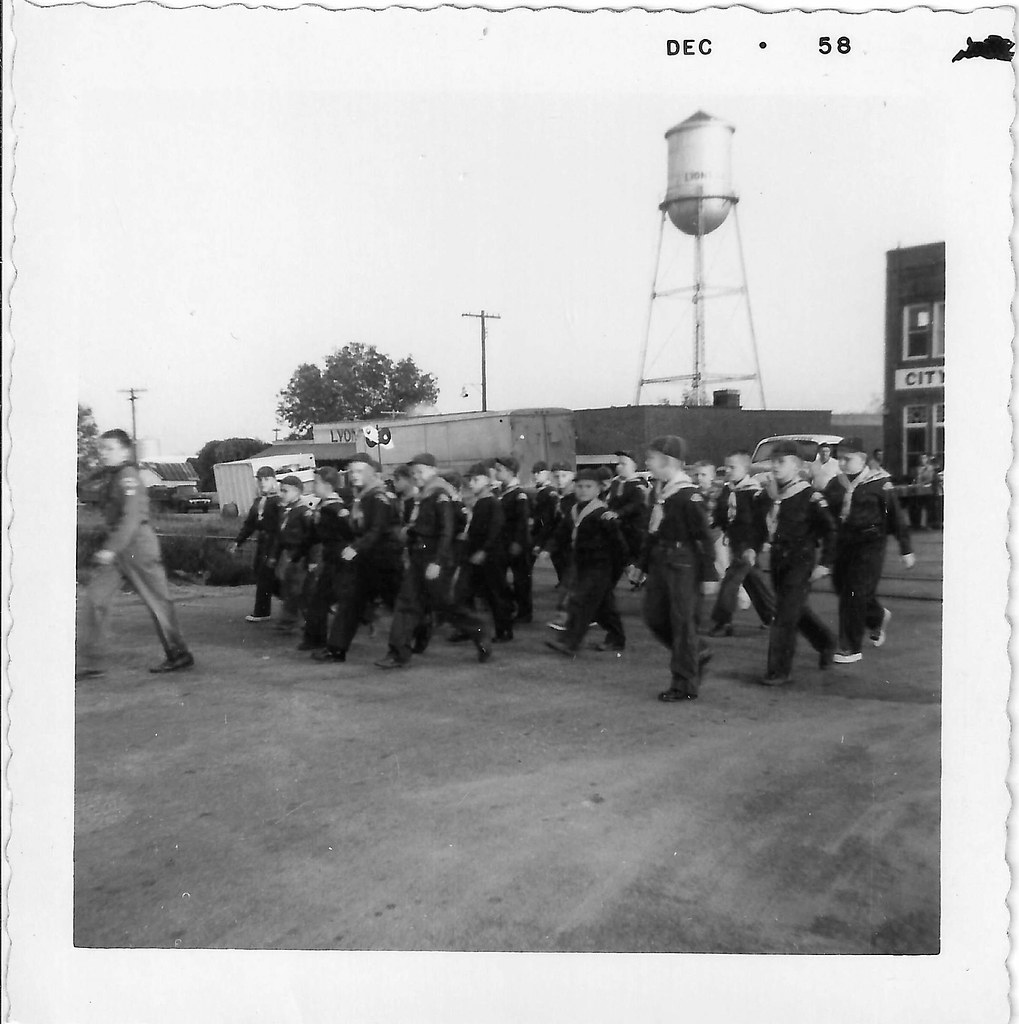
Lyons Cub Parade 1
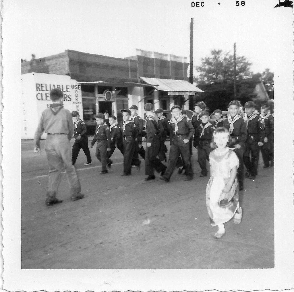
Lyons Cub Parade 3
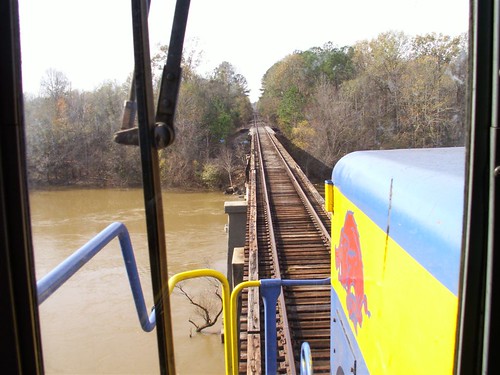
From the Locomotive

Golden Sunset

Barn n Field

A field of dead sunflowers …

Skyway …

Tangled …
Sun-kissed …

Hay …

Fig tree kissing autumn …
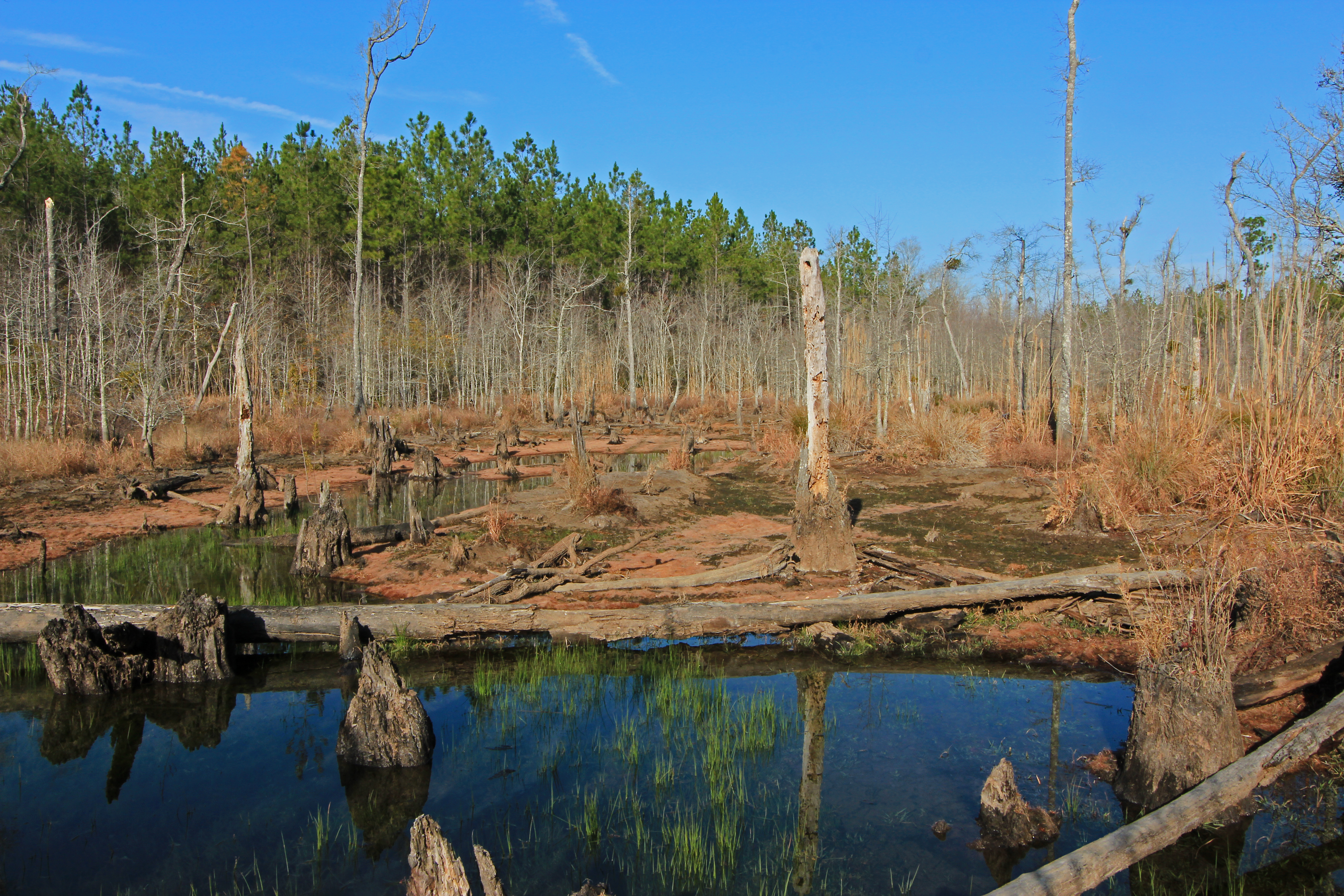
beaver pond, Cobb Creek, at Highway 130, Toombs County, Georgia 1
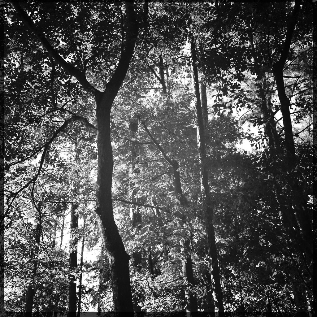
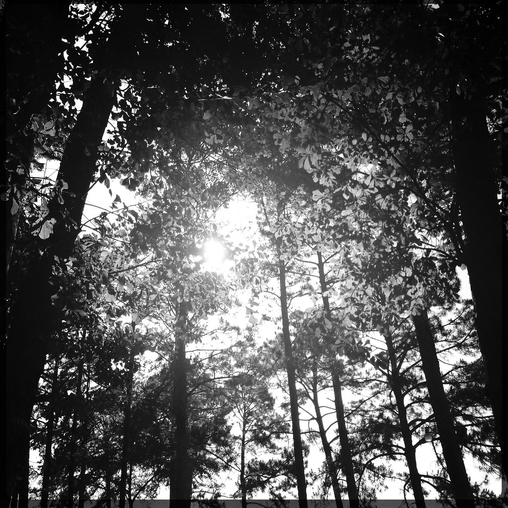
Forest …

Deep forest …

Shrub …
Topographic Map of Church St, Vidalia, GA, USA
Find elevation by address:

Places near Church St, Vidalia, GA, USA:
Vidalia
305 North St W
405 Kenworth St
Brice Dr, Vidalia, GA, USA
Hawk's Point Golf Club
John Davis Circle
James St, Ailey, GA, USA
3431 Thompson Pond Rd
Lyons
NE Broad St, Lyons, GA, USA
21 Sleigh St, Lyons, GA, USA
Georgia 178
Georgia 178
831 Morris Rd
Co Rd, Ailey, GA, USA
210 Rabbit Run
Montgomery County
Old Kibbee Rd N, Vidalia, GA, USA
515 Bill Branch Cir
Ailey
Recent Searches:
- Elevation of Corso Fratelli Cairoli, 35, Macerata MC, Italy
- Elevation of Tallevast Rd, Sarasota, FL, USA
- Elevation of 4th St E, Sonoma, CA, USA
- Elevation of Black Hollow Rd, Pennsdale, PA, USA
- Elevation of Oakland Ave, Williamsport, PA, USA
- Elevation of Pedrógão Grande, Portugal
- Elevation of Klee Dr, Martinsburg, WV, USA
- Elevation of Via Roma, Pieranica CR, Italy
- Elevation of Tavkvetili Mountain, Georgia
- Elevation of Hartfords Bluff Cir, Mt Pleasant, SC, USA