Elevation of Forest Rd, Estancia, NM, USA
Location: United States > New Mexico > Torrance County > Estancia >
Longitude: -106.28730
Latitude: 34.7741932
Elevation: 2119m / 6952feet
Barometric Pressure: 78KPa
Elevation Map:
Satellite Map:
Related Photos:

Driving a Ring of Fire
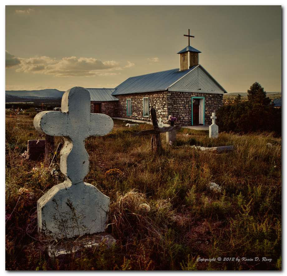
Church At Tajique

Electric Milky Way

New Mexico at 10,000'

Manzano Lake

View down the road...

Estancia, New Mexico, USA

Manzano Lake

New Mexico

Stormy Along 337

Mosca Peak

92712-08, New Mexico Landscape

2012 road trip
Topographic Map of Forest Rd, Estancia, NM, USA
Find elevation by address:

Places near Forest Rd, Estancia, NM, USA:
7-1
Torreon
95 Co Rd A, Mountainair, NM, USA
Co Rd A, Torreon, NM, USA
Mosca Peak
Capilla Peak
Bosque Peak
6 Yucca Flats Rd
Canyon Hills
41 Martinez Rd
Carolino Canyon Ranch
71 Buckboard Rd
71 Buckboard Rd
71 Buckboard Rd
71 Buckboard Rd
Starview Estates
71 Buckboard Rd
NM-, Tijeras, NM, USA
60 Carolino Canyon Rd
Montano Ranch Rd, Tijeras, NM, USA
Recent Searches:
- Elevation of Corso Fratelli Cairoli, 35, Macerata MC, Italy
- Elevation of Tallevast Rd, Sarasota, FL, USA
- Elevation of 4th St E, Sonoma, CA, USA
- Elevation of Black Hollow Rd, Pennsdale, PA, USA
- Elevation of Oakland Ave, Williamsport, PA, USA
- Elevation of Pedrógão Grande, Portugal
- Elevation of Klee Dr, Martinsburg, WV, USA
- Elevation of Via Roma, Pieranica CR, Italy
- Elevation of Tavkvetili Mountain, Georgia
- Elevation of Hartfords Bluff Cir, Mt Pleasant, SC, USA