Elevation of NM-, Tijeras, NM, USA
Location: United States > New Mexico > Bernalillo County > Tijeras >
Longitude: -106.29143
Latitude: 34.966675
Elevation: 2203m / 7228feet
Barometric Pressure: 77KPa
Elevation Map:
Satellite Map:
Related Photos:
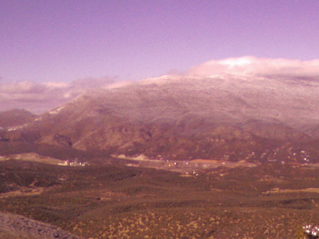
12 09 28 My View From Here: Horseshoe Valley.
New Mexico at 10,000'
light snow

12 09 29 My View From Here: Treetoptrekking.
Jeep with a view
winter blast

Here's the other side
white truck

Concrete plant

Road Trip 201212060017

modern ruins
Beautiful day.

White Out
Edgewood Homestead

Truck_090711_LR-29.jpg

IMG_3379_80_81_tonemapped - Version 2
The best
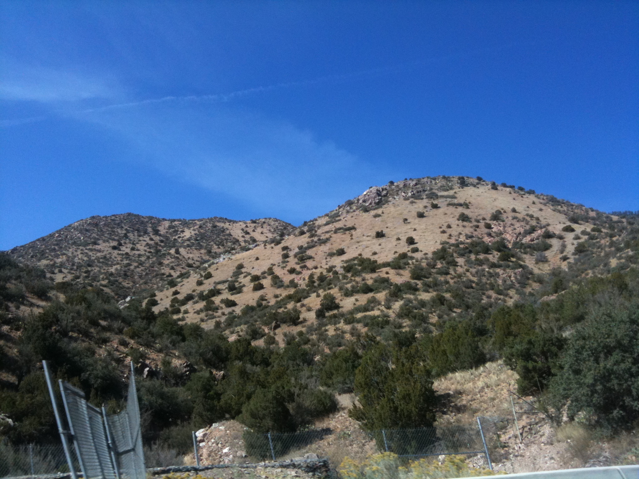
hike in Cibola National Forrest - 19

hike in Cibola National Forrest - 01
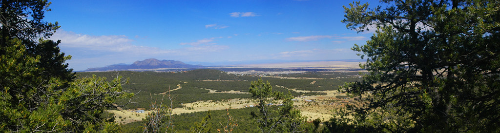
Looking East

hike in Cibola National Forrest - 09

hike in Cibola National Forrest - 06
14:20

June 1976

hike in Cibola National Forrest - 07
Topographic Map of NM-, Tijeras, NM, USA
Find elevation by address:

Places near NM-, Tijeras, NM, USA:
6 Yucca Flats Rd
65 Anaya Rd
4 Pine Ct
Open Meadow Ranch
71 Buckboard Rd
Tyree Acres
71 Buckboard Rd
71 Buckboard Rd
71 Buckboard Rd
71 Buckboard Rd
Starview Estates
61 Pepper Ct
Carolino Canyon Ranch
36 Kuhn Dr
36 Fishburn Ln, Edgewood, NM, USA
41 Martinez Rd
Canyon Hills
184 Mockingbird Hill Rd
184 Mockingbird Hill Rd
60 Carolino Canyon Rd
Recent Searches:
- Elevation of Corso Fratelli Cairoli, 35, Macerata MC, Italy
- Elevation of Tallevast Rd, Sarasota, FL, USA
- Elevation of 4th St E, Sonoma, CA, USA
- Elevation of Black Hollow Rd, Pennsdale, PA, USA
- Elevation of Oakland Ave, Williamsport, PA, USA
- Elevation of Pedrógão Grande, Portugal
- Elevation of Klee Dr, Martinsburg, WV, USA
- Elevation of Via Roma, Pieranica CR, Italy
- Elevation of Tavkvetili Mountain, Georgia
- Elevation of Hartfords Bluff Cir, Mt Pleasant, SC, USA