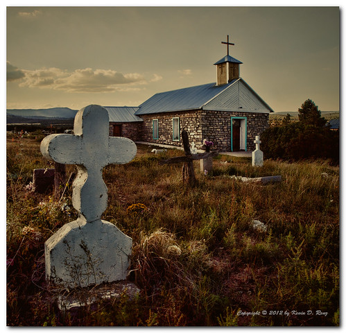
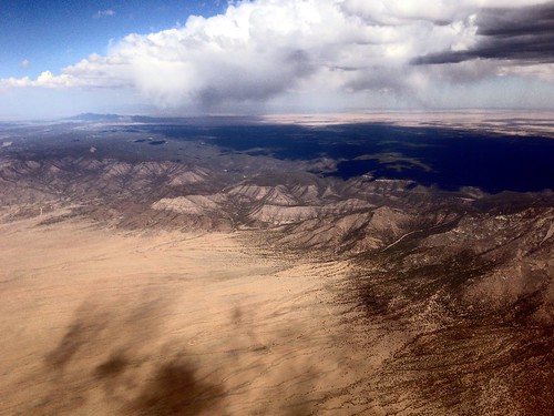
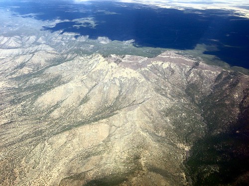
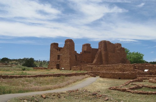
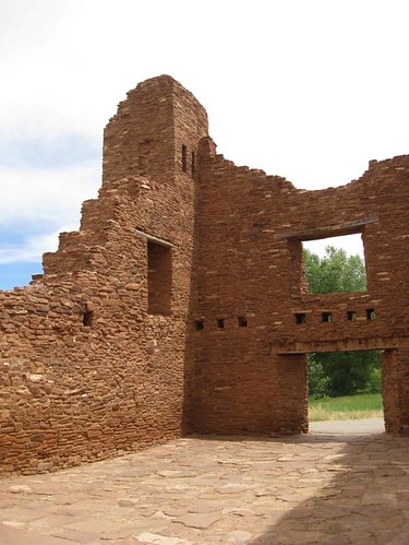
Elevation of Capilla Peak, New Mexico, USA
Location: United States > New Mexico > Torrance County > Torreon >
Longitude: -106.40168
Latitude: 34.7014473
Elevation: 2805m / 9203feet
Barometric Pressure: 72KPa
Related Photos:
Topographic Map of Capilla Peak, New Mexico, USA
Find elevation by address:

Places near Capilla Peak, New Mexico, USA:
Co Rd A, Torreon, NM, USA
Bosque Peak
Torreon
Mosca Peak
95 Co Rd A, Mountainair, NM, USA
Manzano Peak
7-1
121 Forest Rd 321
Fawn Rd, Mountainair, NM, USA
8 Sportsman Ct, Los Lunas, NM, USA
Valencia County
Mountainair
Mana Mini Mart
Trueno Loop
10 Conner Rd
10 Conner Rd
60 Carolino Canyon Rd
Tierra Grande
Carolino Canyon Ranch
Forest Meadow Ranch
Recent Searches:
- Elevation of Corso Fratelli Cairoli, 35, Macerata MC, Italy
- Elevation of Tallevast Rd, Sarasota, FL, USA
- Elevation of 4th St E, Sonoma, CA, USA
- Elevation of Black Hollow Rd, Pennsdale, PA, USA
- Elevation of Oakland Ave, Williamsport, PA, USA
- Elevation of Pedrógão Grande, Portugal
- Elevation of Klee Dr, Martinsburg, WV, USA
- Elevation of Via Roma, Pieranica CR, Italy
- Elevation of Tavkvetili Mountain, Georgia
- Elevation of Hartfords Bluff Cir, Mt Pleasant, SC, USA
