Elevation of Montano Ranch Rd, Tijeras, NM, USA
Location: United States > New Mexico > Bernalillo County > Tijeras >
Longitude: -106.18389
Latitude: 34.937047
Elevation: 2002m / 6568feet
Barometric Pressure: 79KPa
Elevation Map:
Satellite Map:
Related Photos:
12 09 28 My View From Here: Horseshoe Valley.
New Mexico at 10,000'
Sunset - Edgewood, NM

The Perfect Catch
#cows #country #NewMexico

White Out

20150516 070955 1SL5

IMG_3379_80_81_tonemapped - Version 2

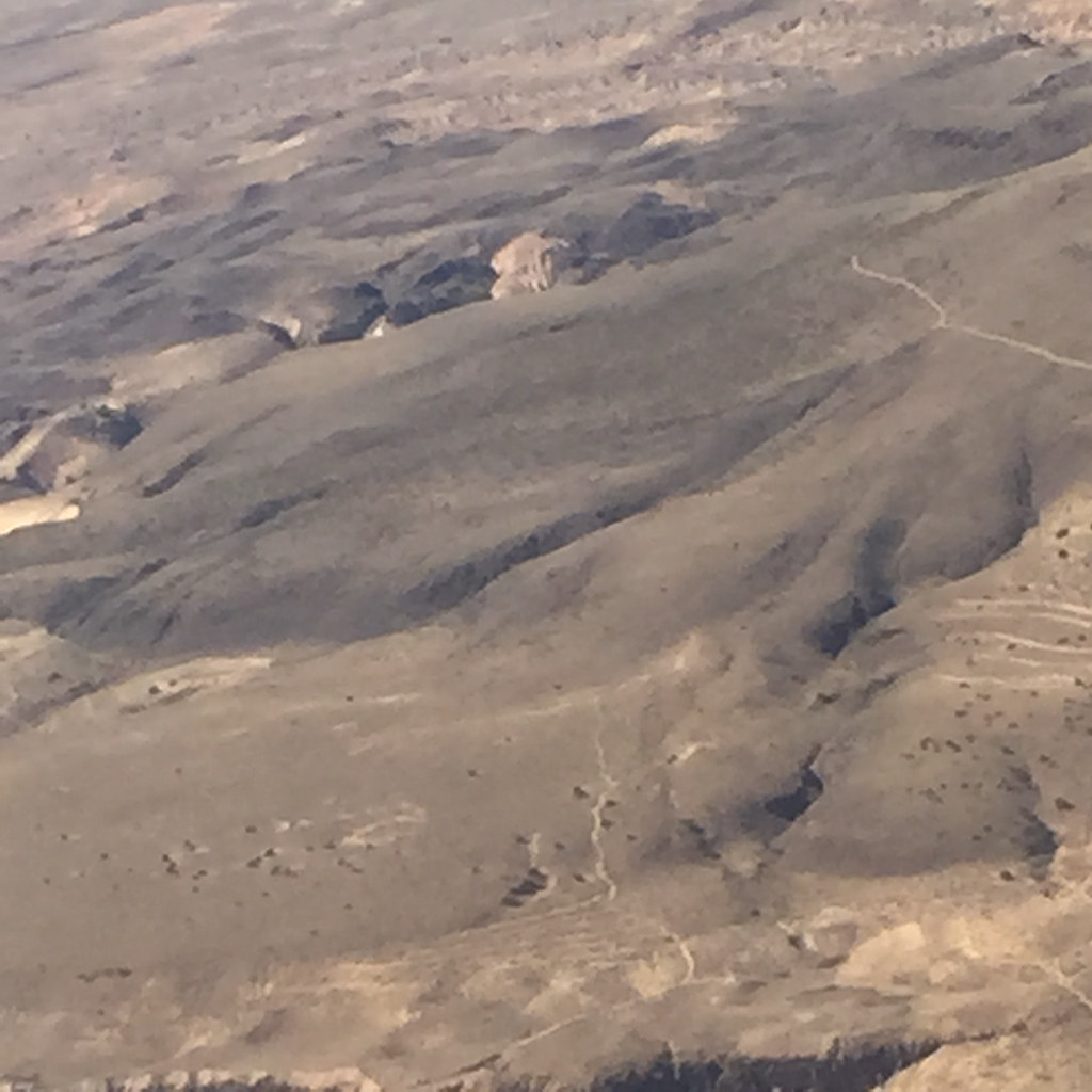
Aerial Photography Airplane Fly New Mexico Desert IMG_2806

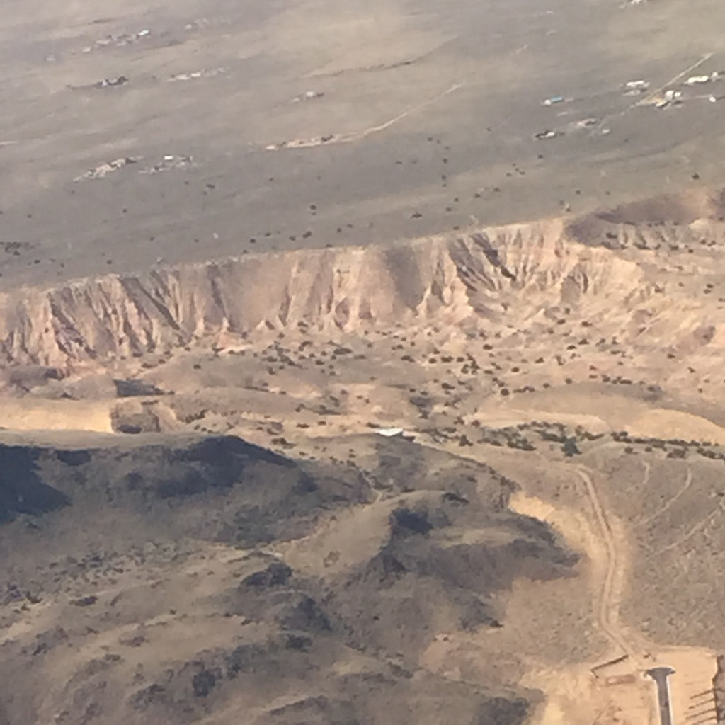
Aerial Photography Airplane Fly New Mexico Desert IMG_2808

Landscape_090711_LR-30.jpg

high plains nm

Aerial Photography Airplane Fly New Mexico Desert IMG_2807
Aerial Photography Airplane Fly New Mexico Desert IMG_2804

Aerial Photography Airplane Fly New Mexico Desert IMG_2809

20150516 071005 1SL5
Aerial Photography Airplane Fly New Mexico Desert IMG_2811

20150516 071002 1SL5

June 1976

20150516 065925 1SL5
Topographic Map of Montano Ranch Rd, Tijeras, NM, USA
Find elevation by address:

Places near Montano Ranch Rd, Tijeras, NM, USA:
Ballenger Ranch Rd, Edgewood, NM, USA
30 Val Verde Loop
30 Val Verde Loop
Canyon Hills
41 Martinez Rd
36 Fishburn Ln, Edgewood, NM, USA
Starview Estates
61 Pepper Ct
NM-, Tijeras, NM, USA
6 Yucca Flats Rd
65 Anaya Rd
4 Pine Ct
Open Meadow Ranch
71 Buckboard Rd
Tyree Acres
71 Buckboard Rd
71 Buckboard Rd
71 Buckboard Rd
71 Buckboard Rd
Carolino Canyon Ranch
Recent Searches:
- Elevation of Corso Fratelli Cairoli, 35, Macerata MC, Italy
- Elevation of Tallevast Rd, Sarasota, FL, USA
- Elevation of 4th St E, Sonoma, CA, USA
- Elevation of Black Hollow Rd, Pennsdale, PA, USA
- Elevation of Oakland Ave, Williamsport, PA, USA
- Elevation of Pedrógão Grande, Portugal
- Elevation of Klee Dr, Martinsburg, WV, USA
- Elevation of Via Roma, Pieranica CR, Italy
- Elevation of Tavkvetili Mountain, Georgia
- Elevation of Hartfords Bluff Cir, Mt Pleasant, SC, USA