Elevation of Forest Hills Dr, Salix, PA, USA

Location: United States > Pennsylvania > Cambria County > Adams Township >

Longitude: -78.777414

Latitude: 40.2908794

Elevation: 668m / 2192feet

Barometric Pressure: 94KPa

Elevation Map:

elevation map of Forest Hills Dr, Salix, PA, USA

Satellite Map:

Satellite map of Forest Hills Dr, Salix, PA, USA

Related Photos:

pennsylvania pa johnstownpa inclinedplane cambriacounty cambriaironcompany viewfromthetopoftheinclinedplane cambriasteelco
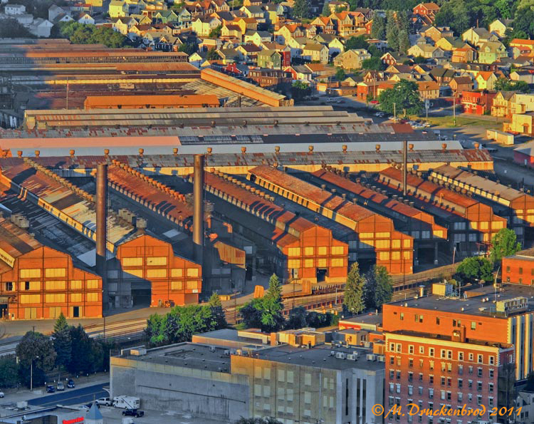
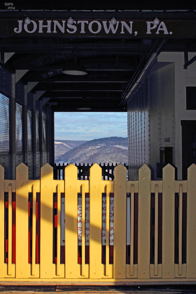
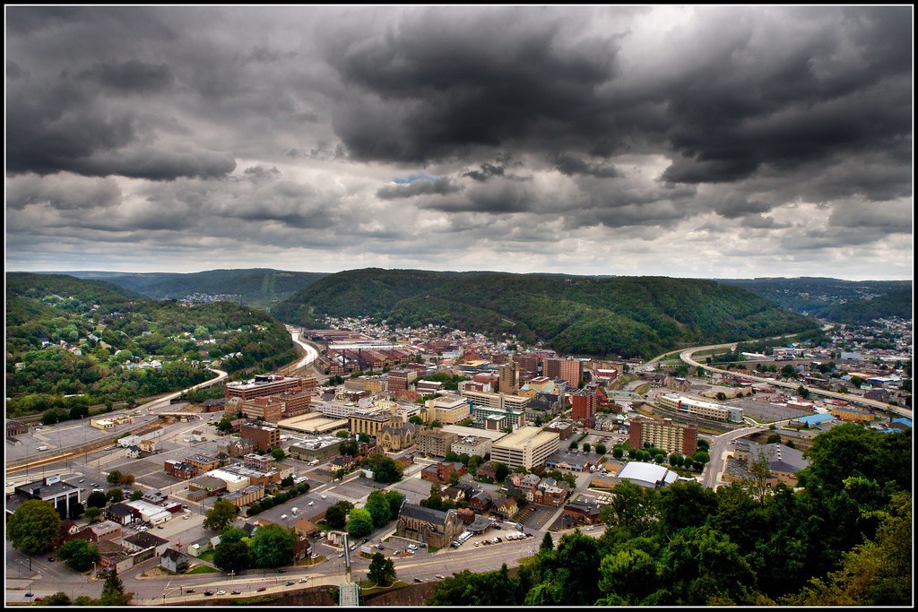
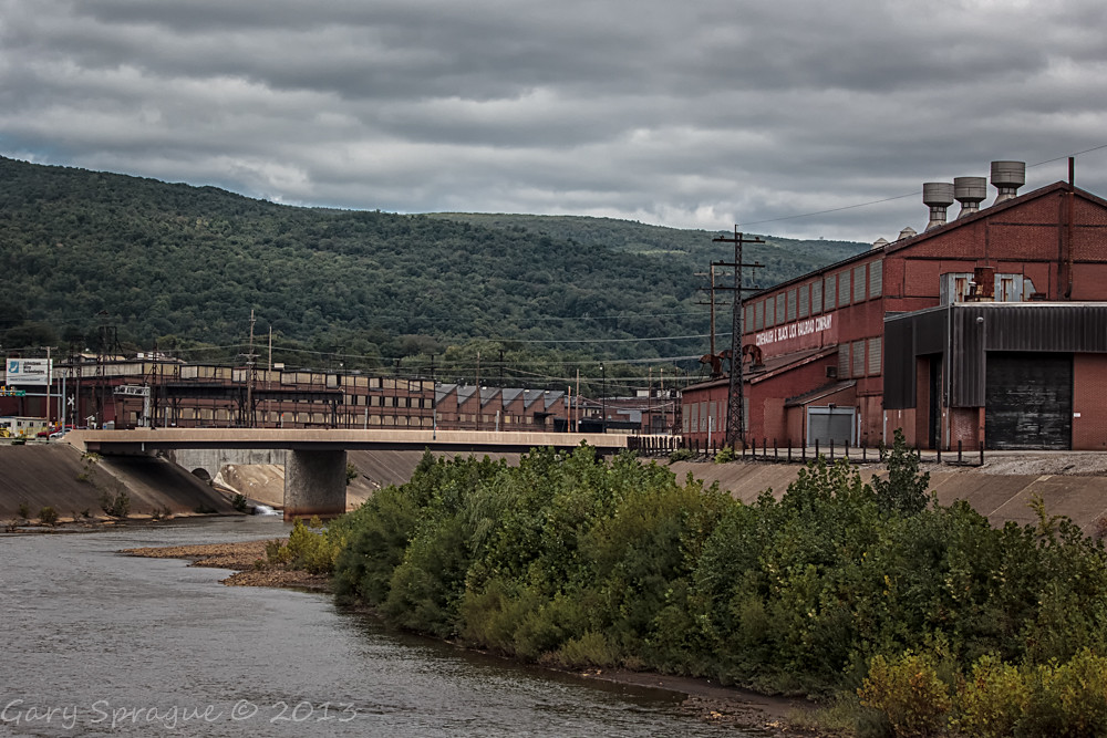
Johnstown Pennsylvania, Cambria Iron Company
nps pennsylvania nationalmemorial johnstownflood
Johnstown Flood National Memorial
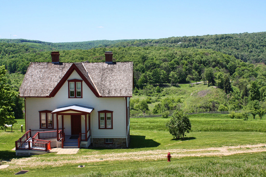
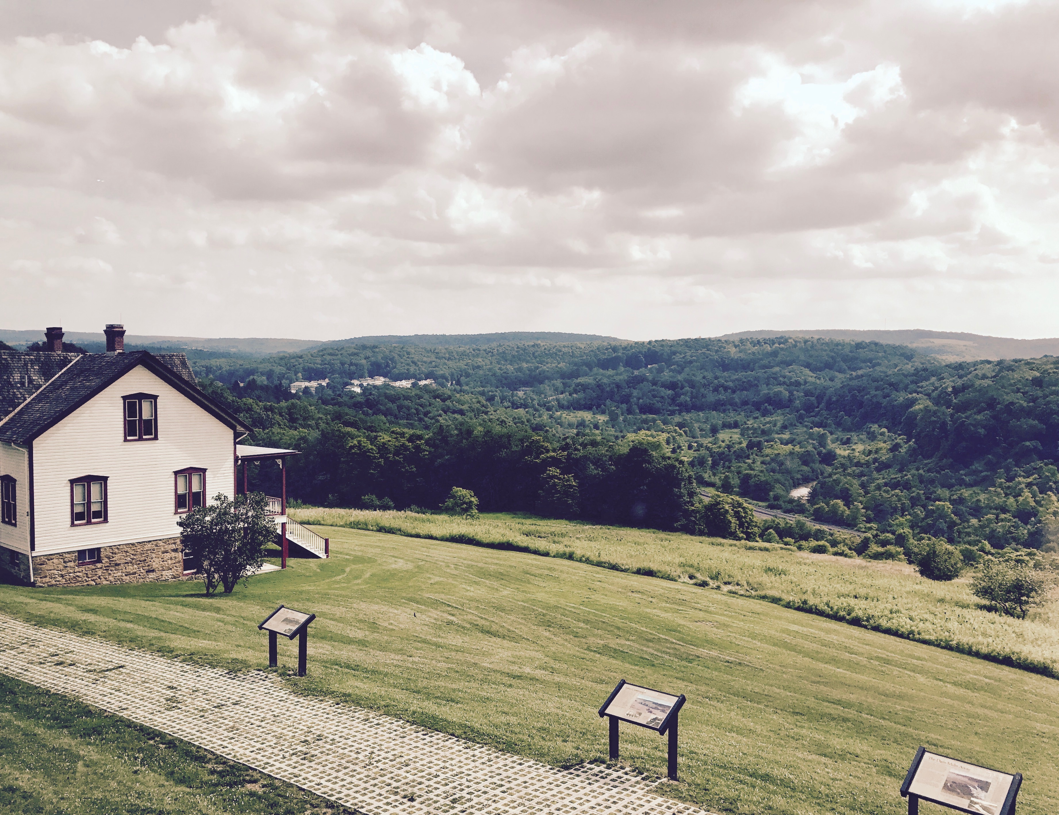
house snow unger johnstownflood
The Unger House
travel trees snow nature water fog train river pennsylvania tracks southfork johnstownflood southforkdam
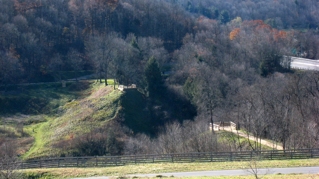
The view from the remnants of the South Fork Dam
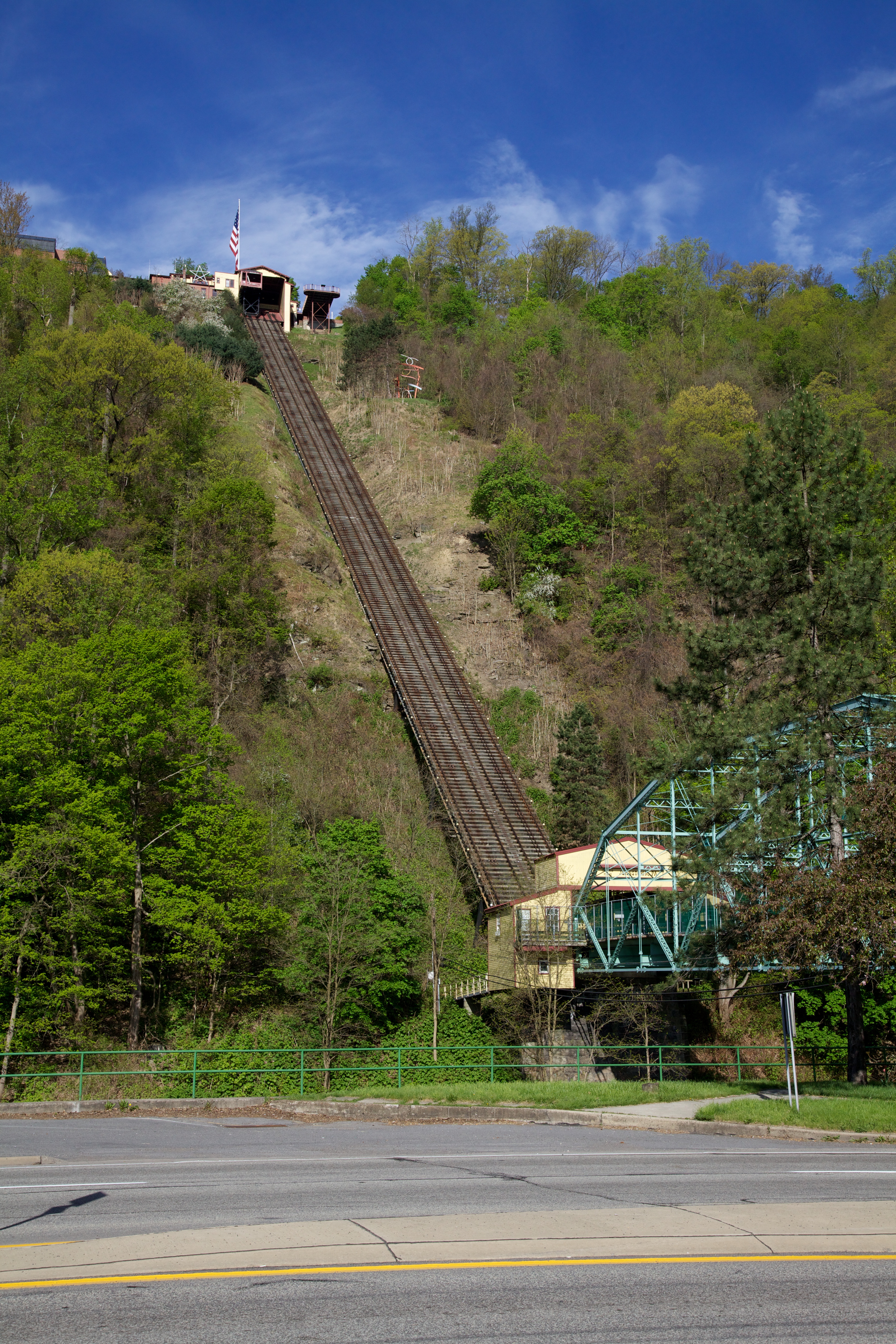
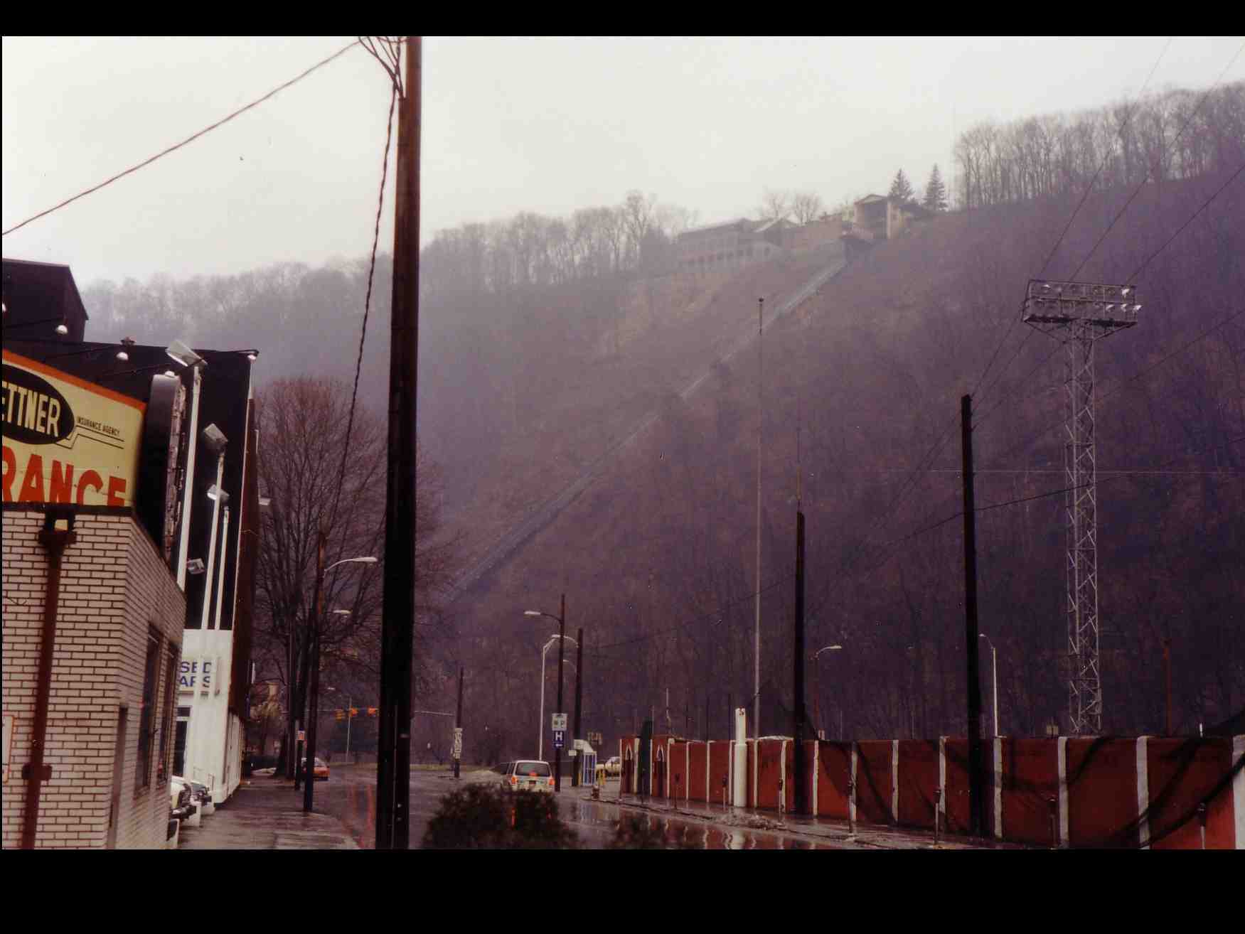
flickr pennsylvania incline funicular johnstown inclinedplane canonef24105mmf4lis
Inclined Plane
county sky tree bird silhouette clouds photo published pentax pennsylvania profile picture pa crow cambria nowpublic johnstown corvusbrachyrhynchos americancrow k10d
American Crow - Johnstown, Pennsylvania
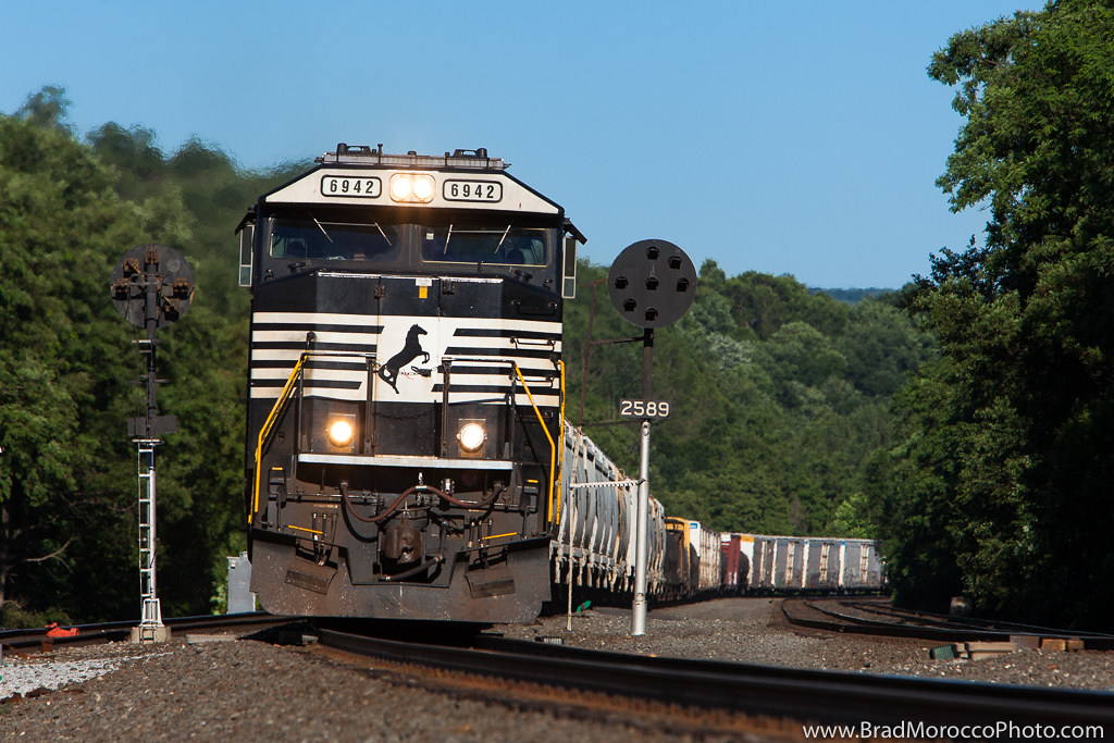
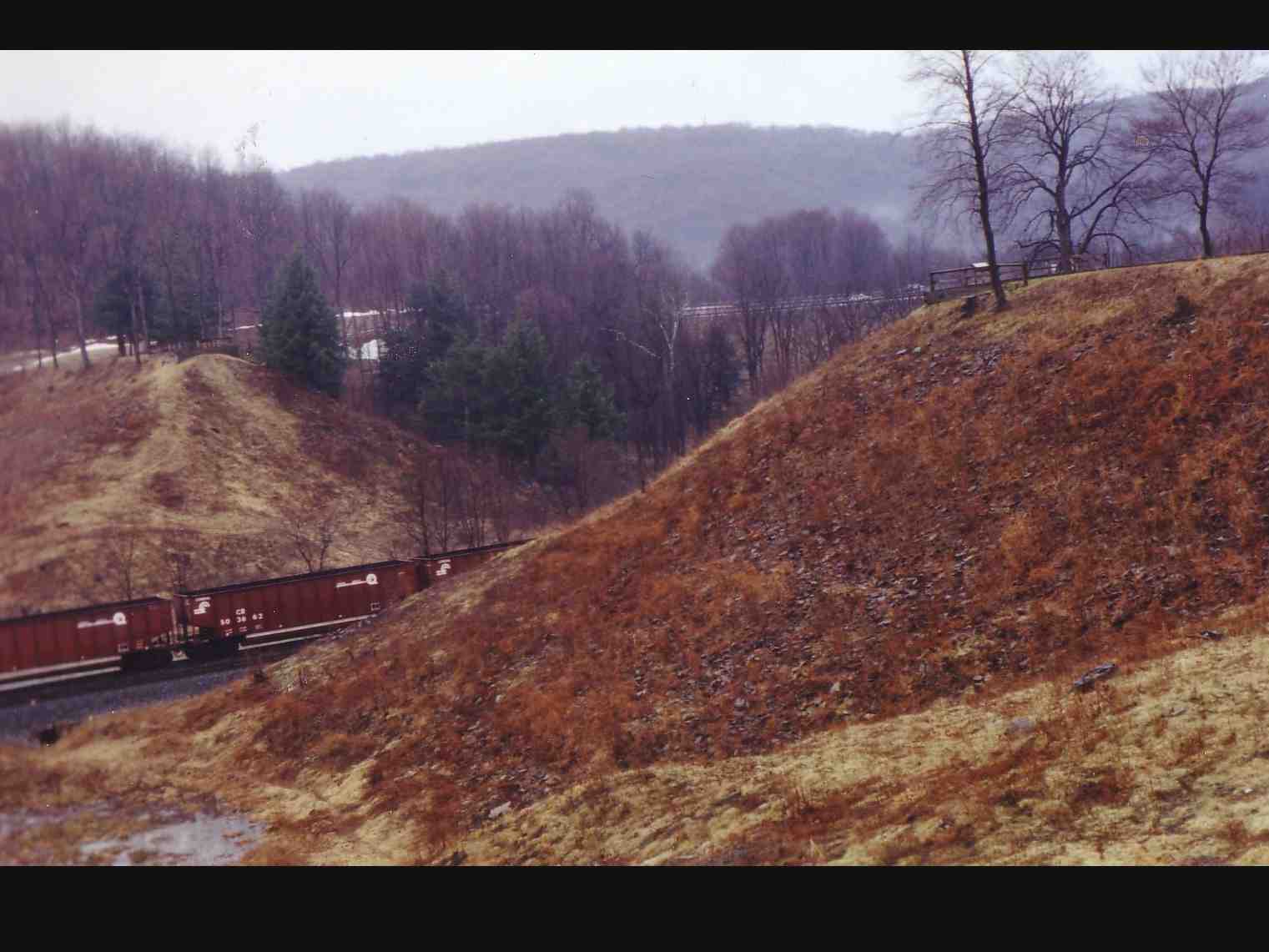
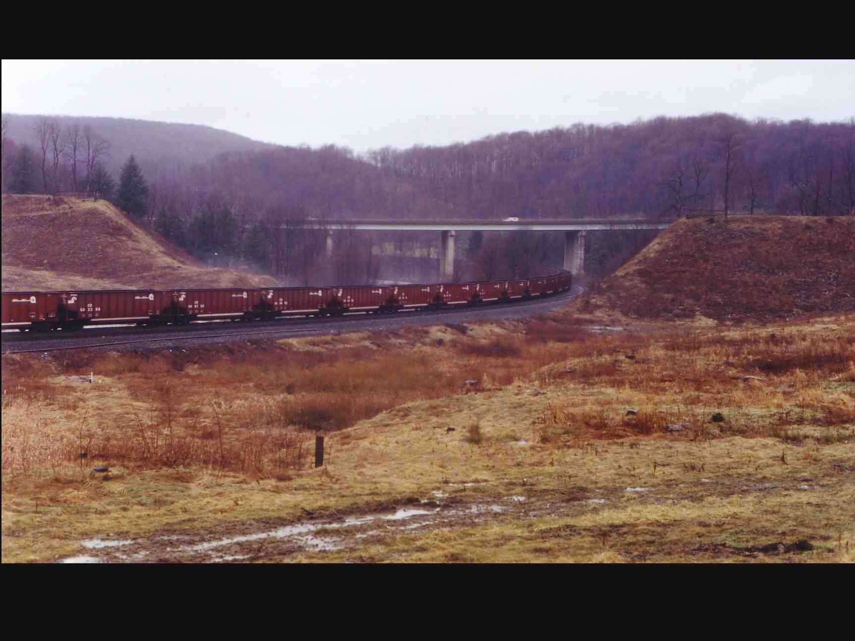
NS 38Q at Portage, Pennsylvania
A View of the Mountains...
Feeling Much Better Now
pennsylvania johnstown nationalregister nationalregisterofhistoricplaces cambriacounty johnstowninclinedrailway
Johnstown Inclined Plane PA
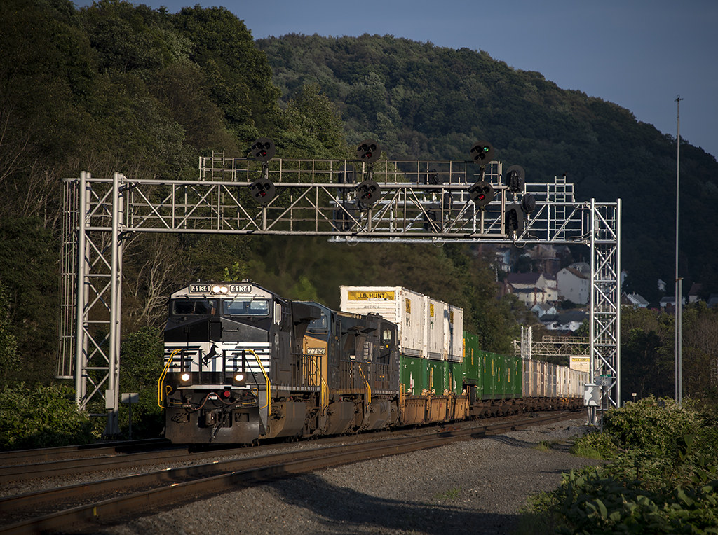
NS Eastbound @ Portage, PA
usa pennsylvania southfork johnstownflood johnstownfloodnationalmemorial lakeconemaugh littleconemaughriver railropad southforkcreek
South Fork Valley
tower church architecture religious sandstone flood pennsylvania religion gothic methodist roofline johnstown merger unitedmethodist rosewindow brethren richardsonianromanesque nationalregister cambriacounty nrhp evangelicalunitedbrethren akronplan
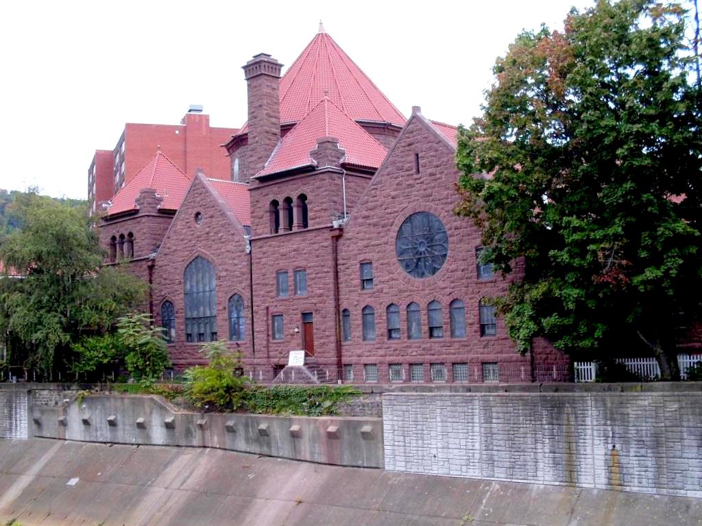
Johnstown, PA-- First United Methodist Church, 1910
county sign barn photo mail pentax jill pennsylvania farm picture nostalgia pa pouch americana chew cambria tobacco johnstown chewmailpouchtobacco treatyourselftothebest k10d gontkovic 0834ed1
My own Mail Pouch barn!
county bridge snow tree photo pentax pennsylvania picture somerset historic pa covered coveredbridge township johnstown truss shaffer twp conemaugh 5641 burrarch k10d benscreek
Shaffer Bridge -- Somerset County, Pennsylvania
county bridge snow tree photo pentax pennsylvania picture somerset historic pa covered township johnstown truss shaffer twp conemaugh 5673 burrarch k10d benscreek
Shaffer Bridge -- Somerset County, Pennsylvania
inclinedplanejohntownpa viewofjohnstownpafromtheinclinedplane roncogswell funicular
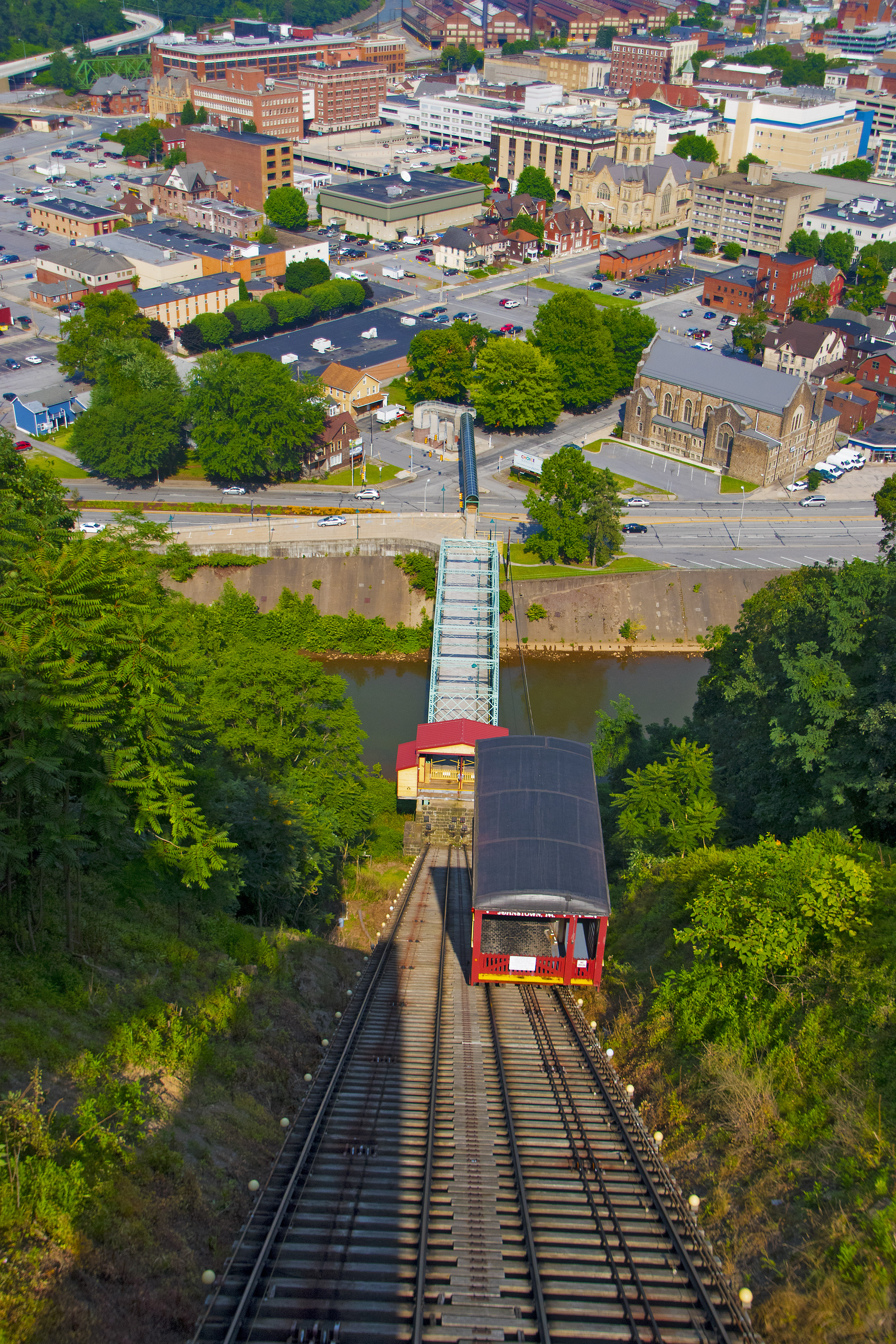
View of Johnstown (PA) from the Inclined Plane August 2017
theinclinedplanejohnstownpa roncogswell inclinedplanecarandsideviewjohnstownpa sideviewofaninclinedplanecarjohnstownpa johnstownpa
Inclined Plane Car And Side View Johnstown (PA) August 2017
Not Your Usual PRR Bridge Pt. 1
county tree bird photo pentax cone pennsylvania picture pa rare cambria johnstown tamarack invasive whitewinged crossbill whitewingedcrossbill loxialeucoptera 6169 k10d platinumphoto irruptive
White-winged Crossbill
pennsylvania posterized johnstown inclinedplane neighborhoody
Johnstown, PA -view from top of the inclined plane
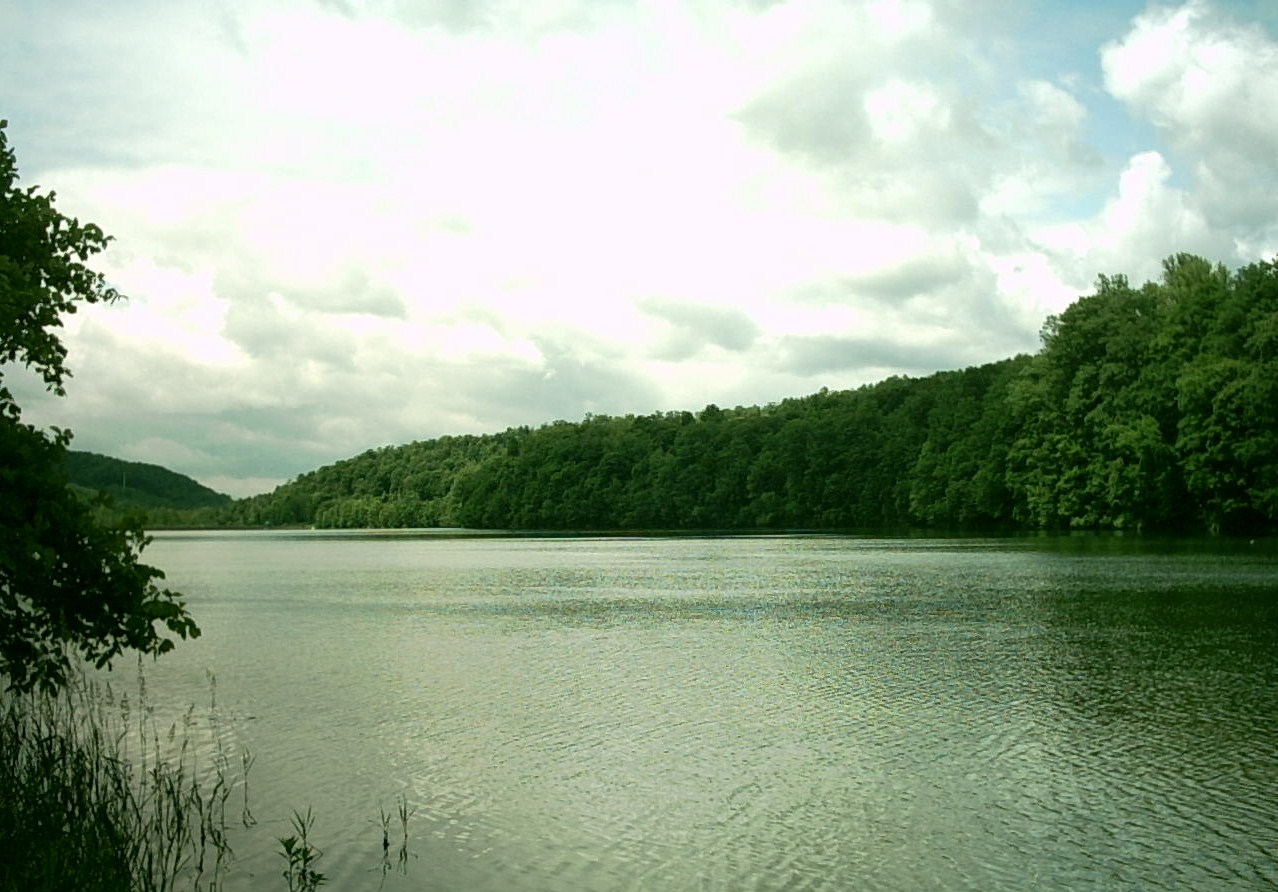
geotagged unitedstates pennsylvania coveredbridge benscreek geo:lat=40281146 geo:lon=78964100 235kmtobenscreekinpennsylvaniaunitedstates shafferbridge
Ben's Creek
franklin downtown dale pennsylvania johnstown westmont lorain eastconemaugh cambriaironworks johnstowninclinedplane littleconemaughriver stonycreekriver yoderhill
View from Yoder Hill
water cloudy
Hinckston Run Reservoir
trees plants snow fog unitedstates pennsylvania air fungus lichen mineralpoint panasoniclumix20mmf17asphii
The snow, as it dies, gives birth to the fog
pennsylvania nationalmemorial saintmichael nationalregister nationalregisterofhistoricplaces cambriacounty johnstownfloodnationalmemorial southforkdam
Johnstown Flood NM PA 3
city bridge abstract reflection building nature landscape design cityscape unitedstates pennsylvania decay urbandecay explorer citylife pa attractive recycle sacrifice johnstown urbanlife johnstownpa riveradventure greenplanet canoncamera historicallandmark abanoned canon60d conemaughriver garysprague betryal explorepa urbanrenewel
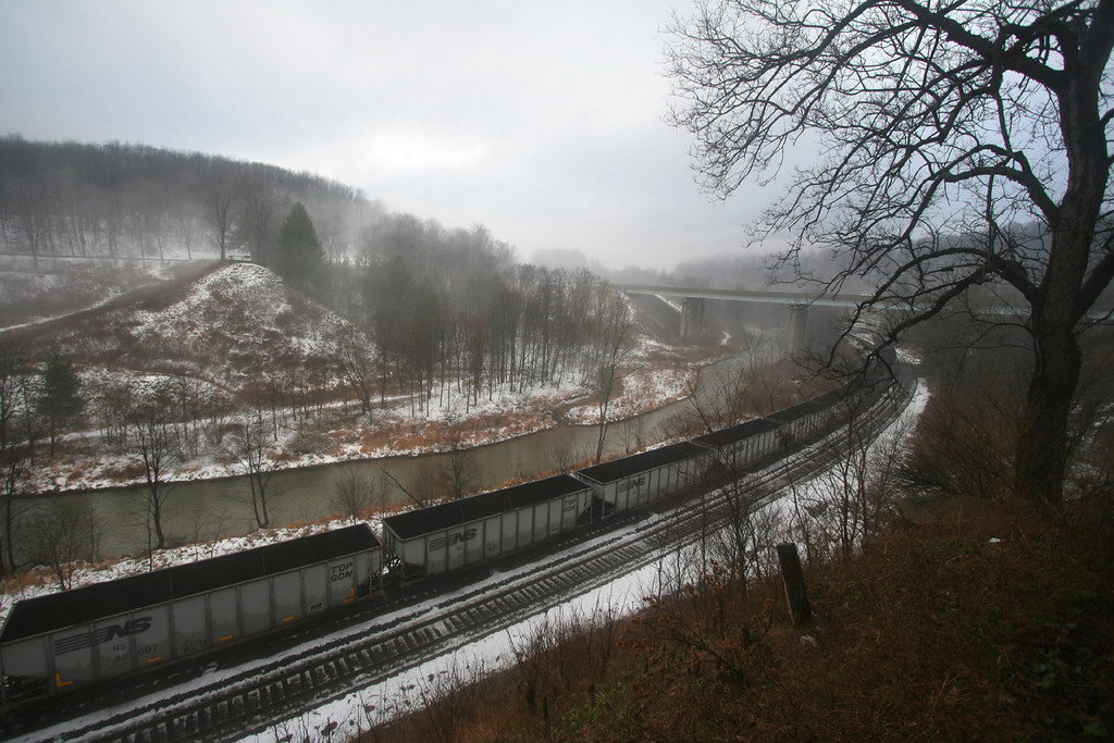
Conemaugh River Quest
water rock waterfall rocks 1855mm hdr photomatix mirrorless hdrextremes hdraddicted flickhdr sonynex5n paintfalls
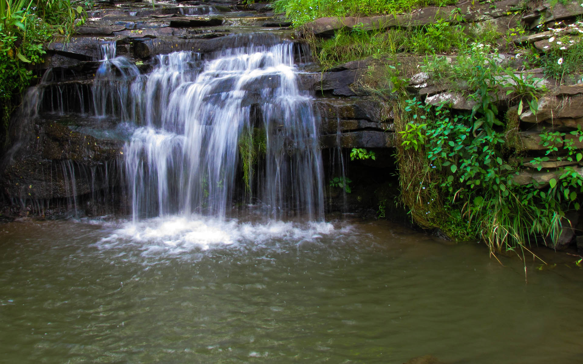
Paint Falls Side Waterfall
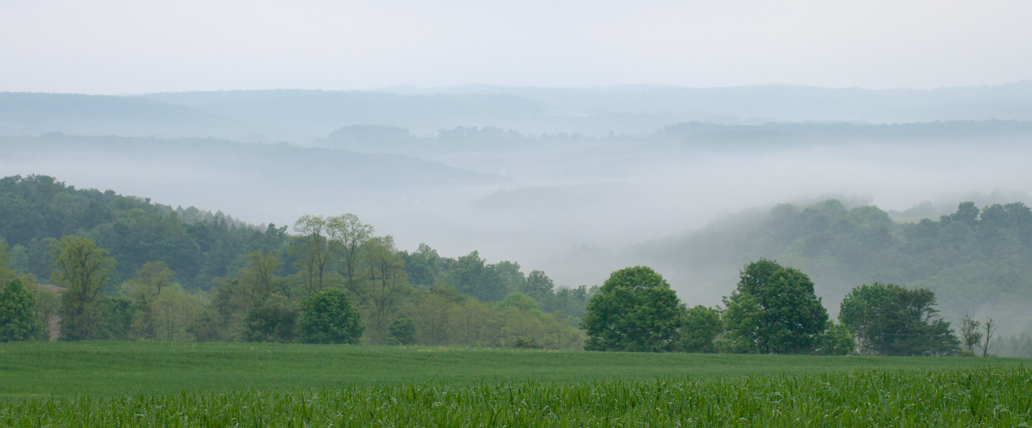
trees plants field fog unitedstates pennsylvania air agriculture sidman smcpfa50mmf14
June fog
usa pennsylvania southfork johnstownflood johnstownfloodnationalmemorial lakeconemaugh littleconemaughriver southforkcreek
South Fork Dam
amtrak amtraktrains amtrakspennsylvanian passengertrains passengercars p42dc amtrakp42locomotives amtrakp42dc autumn autumncolors autumnphotography autumnfoliage autumncolor trainsandautumn amfleet amfleetequipment
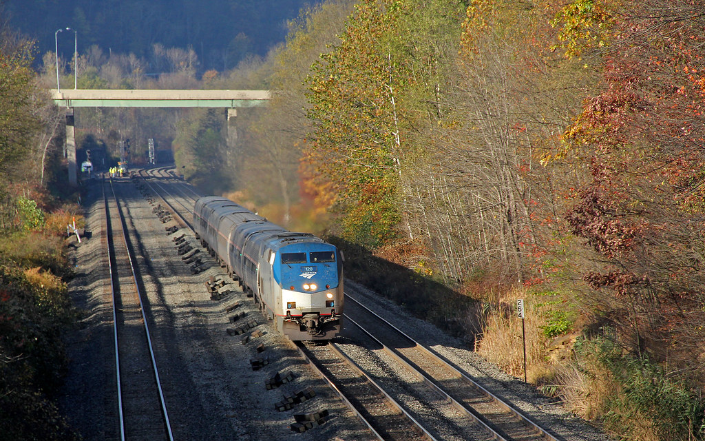
Amtrak 42 at Summerhill
pennsylvania nationalmemorial saintmichael nationalregister nationalregisterofhistoricplaces cambriacounty johnstownfloodnationalmemorial southforkdam
Johnstown Flood NM PA 1
nspittsburghline ns25z ns4134 geac44c6m
NS 25Z at South Fork, Pennsylvania on August 29, 2018
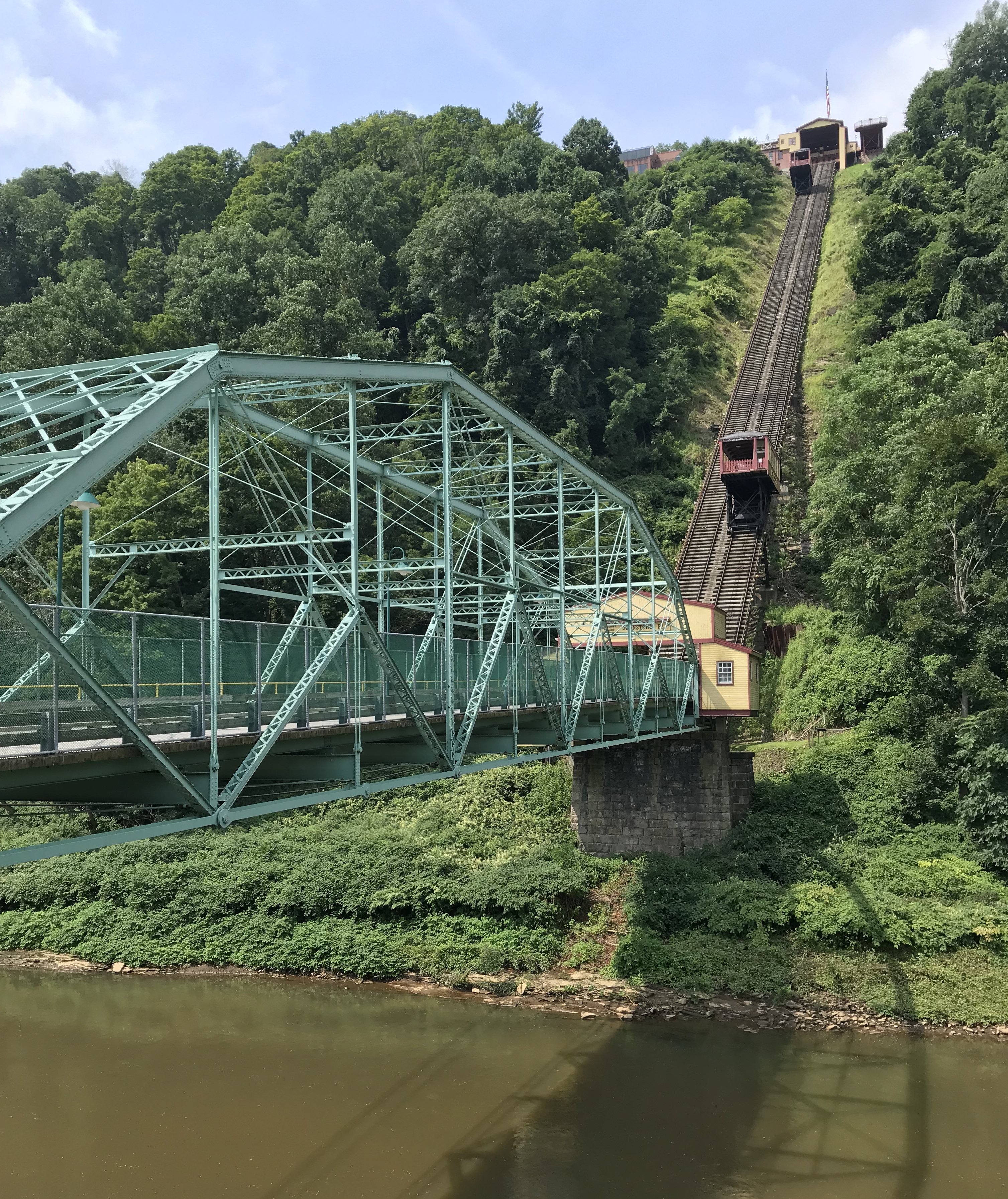
Photo Aug 10, 11 49 55 (1)
Photo Aug 10, 12 02 36 (1)
bridge plane buildings landscape town site flood pennsylvania small tourist pa incline johnstown
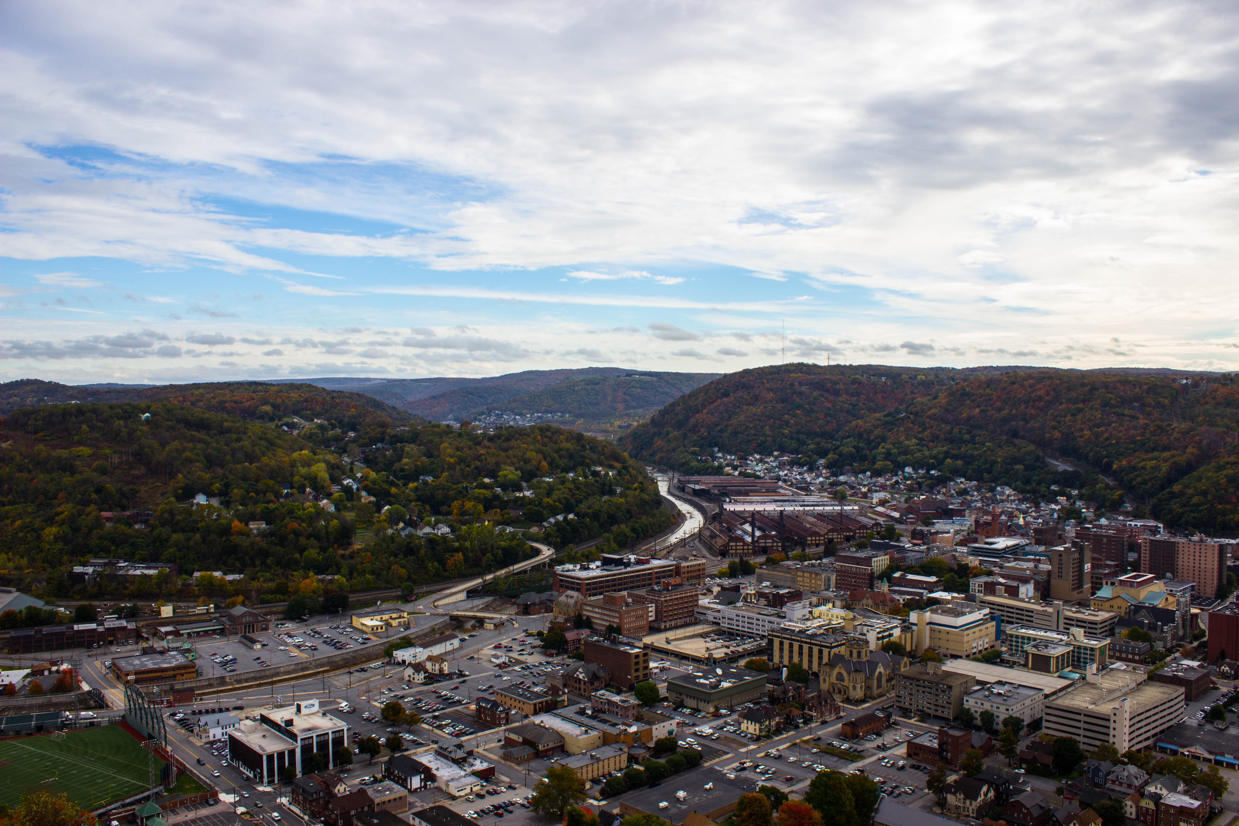
Looking out at johnstown pa
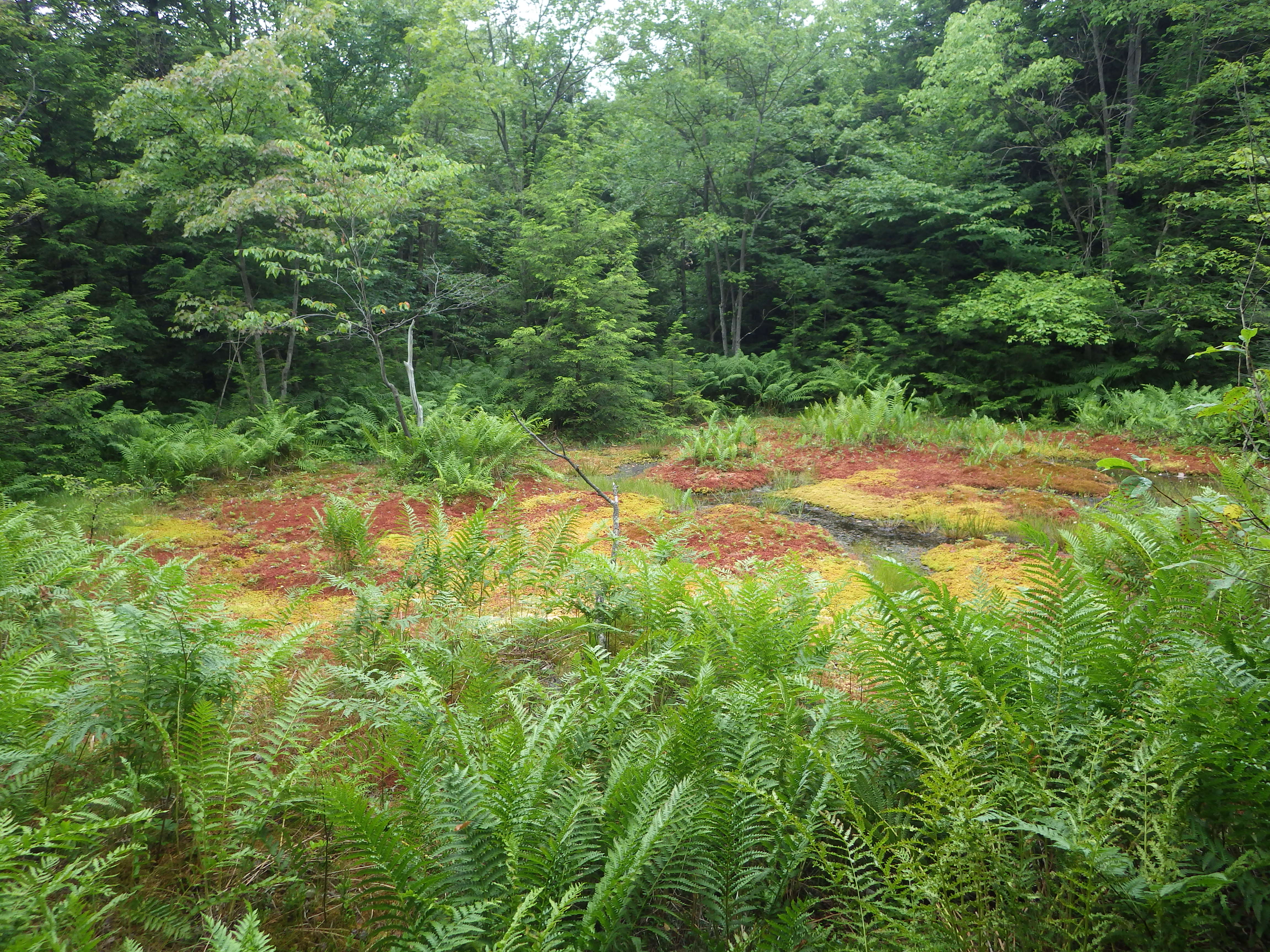
f16woo54 gallitzinstateforest somersetcounty clearshadebog peatlandsproject site landscape redboglet
red boglet_1
square squareformat iphoneography instagramapp uploaded:by=instagram
Such a beautiful town...been destroyed 3x by floods. We visited the Flood Museum and the site where the damn was today. Pretty tragic but very insightful. #JohnstownPA #JohnstownFlood
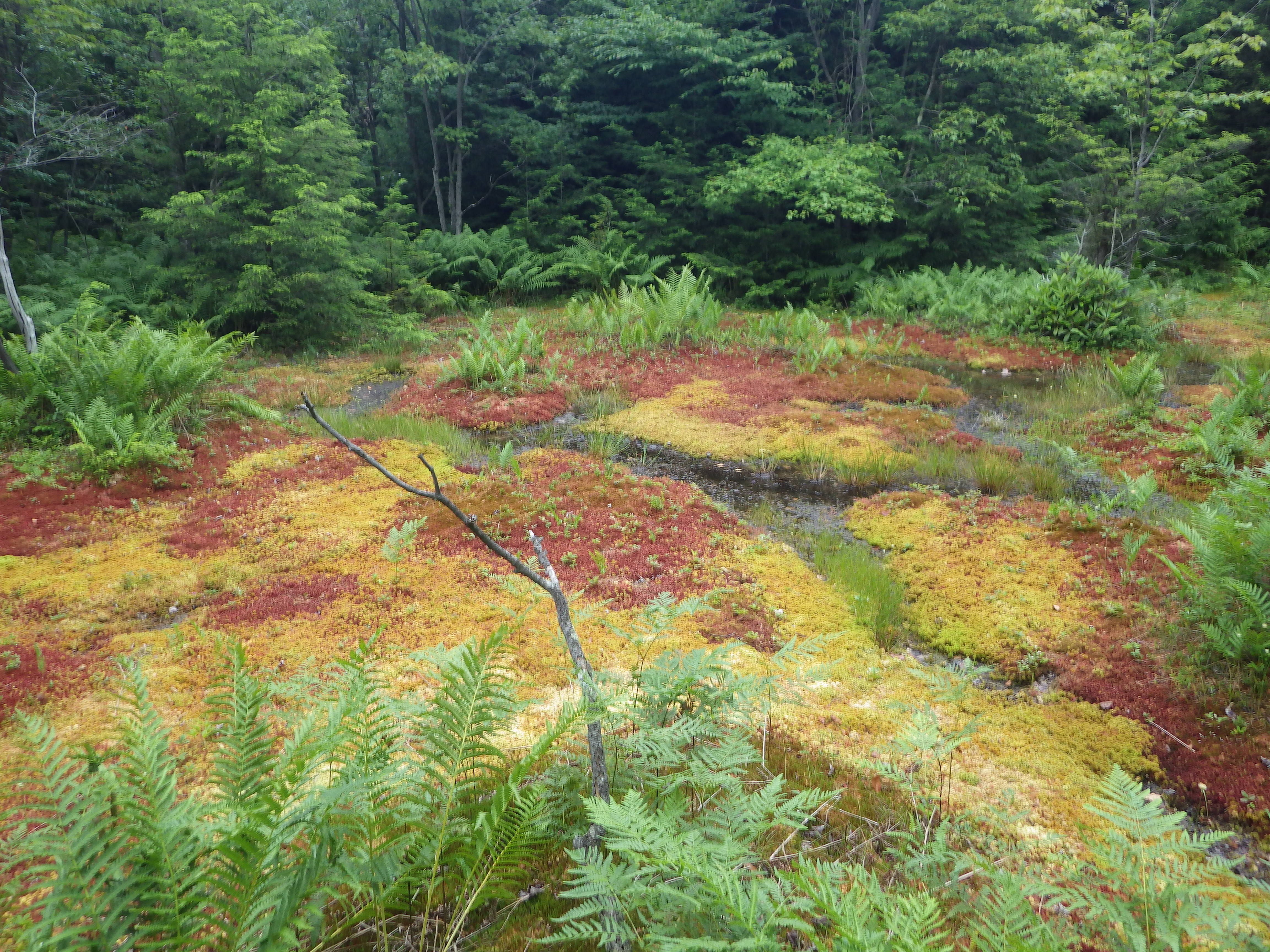
f16woo54 gallitzinstateforest somersetcounty clearshadebog peatlandsproject site landscape redboglet
red boglet_2
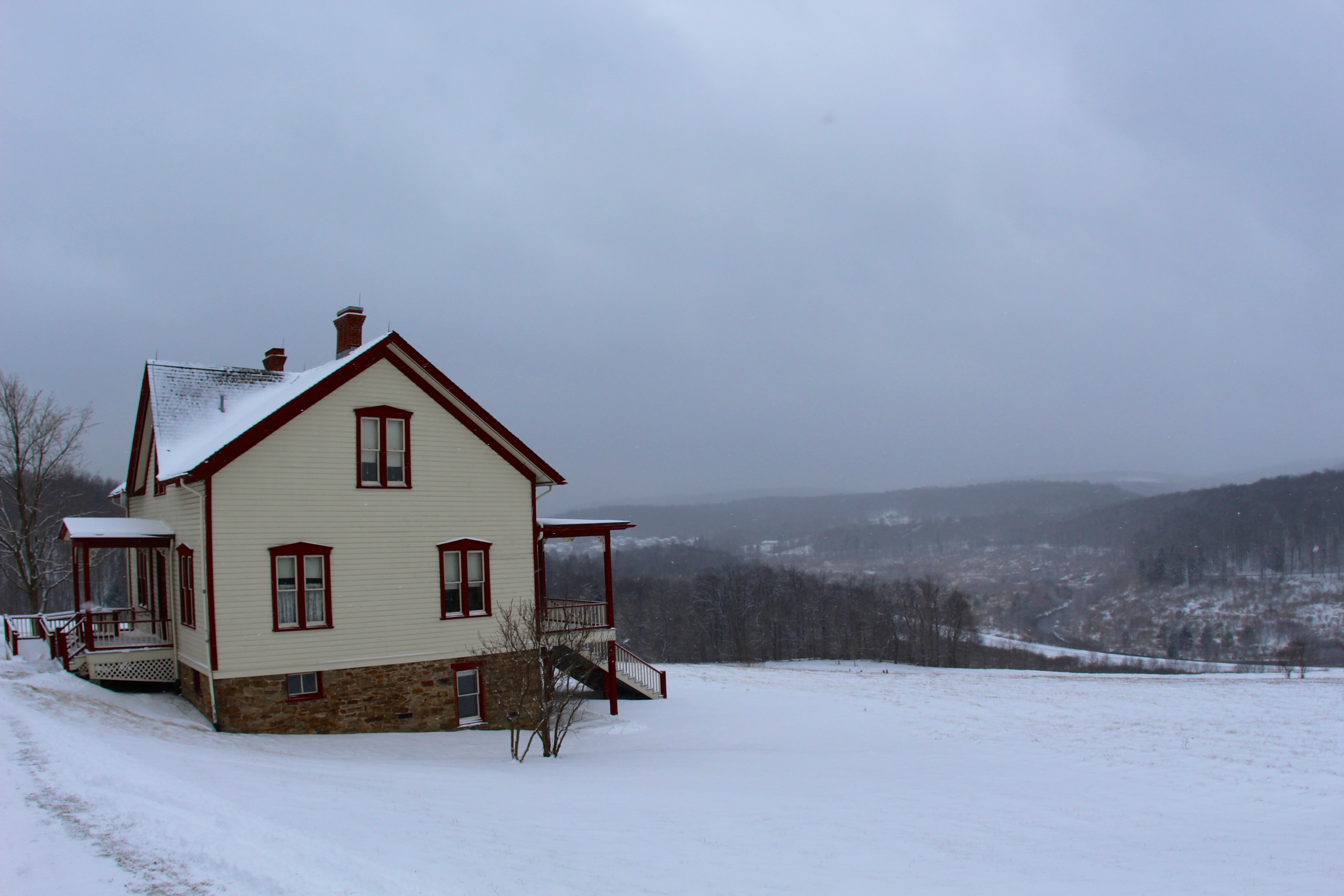
Unger House and What was Once Lake Conemaugh, Johnstown Flood Memorial, South Fork, Pennsylvania, July 2017
landscape waterfall unitedstates pennsylvania johnstown soaphollow
Soap Hollow Falls
blueknobstatepark pennsylvaniastateparks imler pennsylvania unitedstates
Blue Knob State Park