Elevation of Eutaw, AL, USA
Location: United States > Alabama > Greene County >
Longitude: -87.887514
Latitude: 32.8406848
Elevation: 68m / 223feet
Barometric Pressure: 101KPa
Elevation Map:
Satellite Map:
Related Photos:

Eutaw, Al-2.jpg
DSC_0256.jpg
bayou-ish
DSC_0251.jpg
DSC_0254.jpg
DSC_0204.jpg
DSC_0245-Pano.jpg
DSC_0221.jpg
DSC_0242.jpg
DSC_0241.jpg
DSC_0226.jpg
DSC_0202.jpg

DSC_0253.jpg
DSC_0199.jpg
DSC_0219.jpg
DSC_0207.jpg
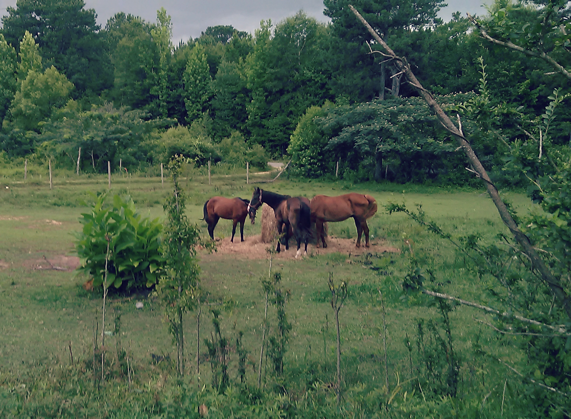
Horses in a field
Topographic Map of Eutaw, AL, USA
Find elevation by address:

Places near Eutaw, AL, USA:
Eutaw
Eutaw
Eutaw
Eutaw
Eutaw
Eutaw
Jennings Ferry Park Campground
1438 Star Ln
AL-60, Sawyerville, AL, USA
AL-14, Eutaw, AL, USA
Oak Village Rd, Akron, AL, USA
Greene County
Akron
Co Rd 20, Boligee, AL, USA
Boligee
44 Co Rd 91, Boligee, AL, USA
Co Rd 72, Boligee, AL, USA
51 Co Rd, Knoxville, AL, USA
Knoxville
Sawyerville
Recent Searches:
- Elevation of Corso Fratelli Cairoli, 35, Macerata MC, Italy
- Elevation of Tallevast Rd, Sarasota, FL, USA
- Elevation of 4th St E, Sonoma, CA, USA
- Elevation of Black Hollow Rd, Pennsdale, PA, USA
- Elevation of Oakland Ave, Williamsport, PA, USA
- Elevation of Pedrógão Grande, Portugal
- Elevation of Klee Dr, Martinsburg, WV, USA
- Elevation of Via Roma, Pieranica CR, Italy
- Elevation of Tavkvetili Mountain, Georgia
- Elevation of Hartfords Bluff Cir, Mt Pleasant, SC, USA