Elevation of Co Rd 72, Boligee, AL, USA
| Latitude | 32.7051359 |
|---|---|
| Longitude | -87.994907 |
| Elevation | 35m / 115feet |
| Barometric Pressure | 1009KPa |
Related Photos:
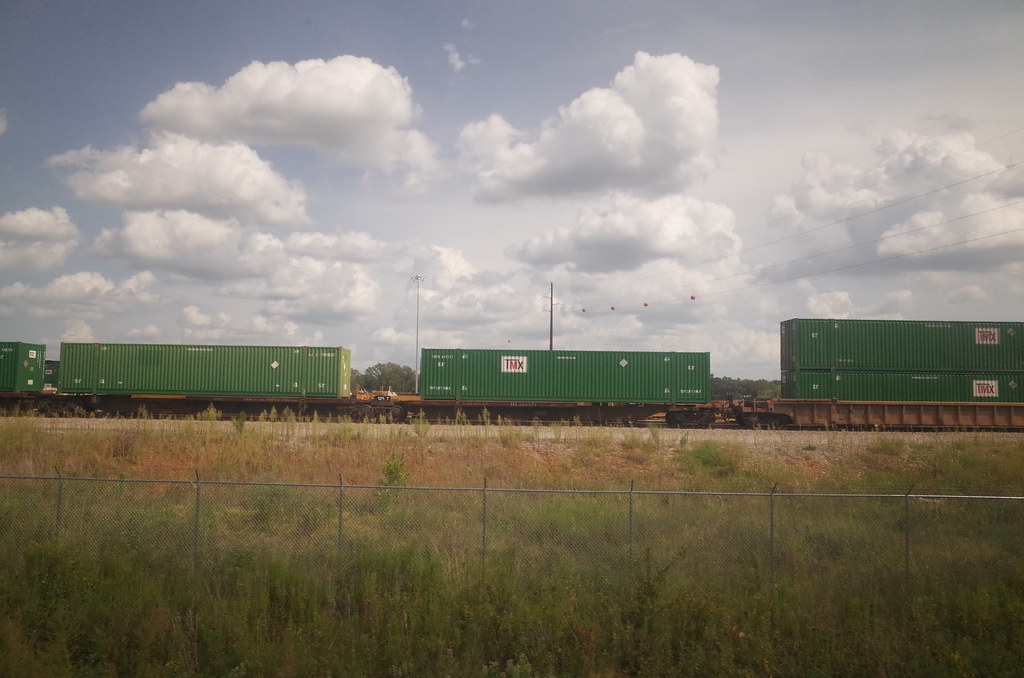
RI038838.JPG
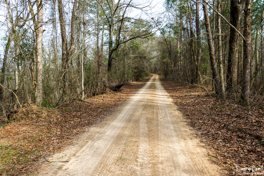
DSC_0256.jpg

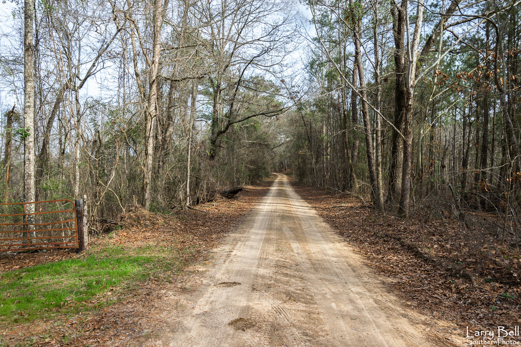
DSC_0165.jpg

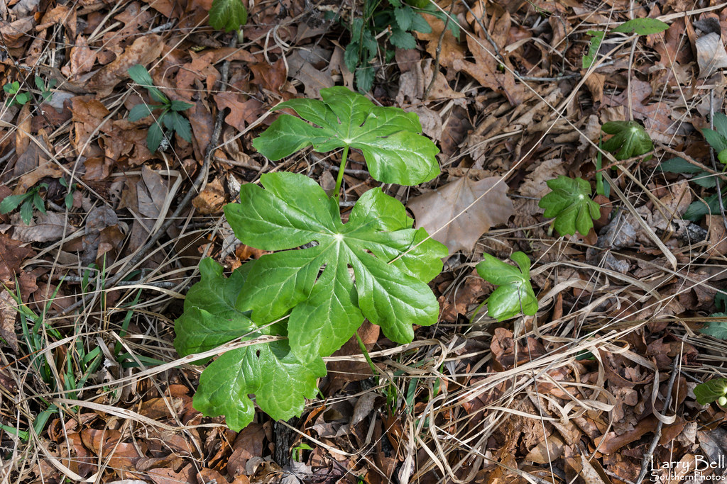
DSC_0251.jpg
DSC_0254.jpg
DSC_0242.jpg

DSC_0226.jpg
DSC_0241.jpg

DSC_0253.jpg

DSC_0219.jpg
DSC_0207.jpg
DSC_0166.jpg
DSC_0245-Pano.jpg

DSC_0221.jpg
DSC_0204.jpg
DSC_0202.jpg
DSC_0199.jpg
Topographic Map of Co Rd 72, Boligee, AL, USA
Find elevation by address:
Places near Co Rd 72, Boligee, AL, USA:
Boligee
Co Rd 20, Boligee, AL, USA
Emerald Ln, Boligee, AL, USA
Co Rd 20, Forkland, AL, USA
Forkland
44 Co Rd 91, Boligee, AL, USA
56 Jackson Quarter, Forkland, AL, USA
1438 Star Ln
Eutaw
Eutaw
Eutaw
Eutaw
Eutaw
Eutaw
Eutaw
Co Rd 97, Boligee, AL, USA
Birdeye Park Rd, Forkland, AL, USA
Co Rd 22, Livingston, AL, USA
Jennings Ferry Park Campground
AL-14, Eutaw, AL, USA
Recent Searches:
- Elevation of Burnt Store Village, Charlotte County, Florida, 33955, USA
- Elevation of 26552, Angelica Road, Punta Gorda, Charlotte County, Florida, 33955, USA
- Elevation of 104, Chancery Road, Middletown Township, Bucks County, Pennsylvania, 19047, USA
- Elevation of 1212, Cypress Lane, Dayton, Liberty County, Texas, 77535, USA
- Elevation map of Central Hungary, Hungary
- Elevation map of Pest, Central Hungary, Hungary
- Elevation of Pilisszentkereszt, Pest, Central Hungary, Hungary
- Elevation of Dharamkot Tahsil, Punjab, India
- Elevation of Bhinder Khurd, Dharamkot Tahsil, Punjab, India
- Elevation of 2881, Chabot Drive, San Bruno, San Mateo County, California, 94066, USA
- Elevation of 10370, West 107th Circle, Westminster, Jefferson County, Colorado, 80021, USA
- Elevation of 611, Roman Road, Old Ford, Bow, London, England, E3 2RW, United Kingdom
- Elevation of 116, Beartown Road, Underhill, Chittenden County, Vermont, 05489, USA
- Elevation of Window Rock, Colfax County, New Mexico, 87714, USA
- Elevation of 4807, Rosecroft Street, Kempsville Gardens, Virginia Beach, Virginia, 23464, USA
- Elevation map of Matawinie, Quebec, Canada
- Elevation of Sainte-Émélie-de-l'Énergie, Matawinie, Quebec, Canada
- Elevation of Rue du Pont, Sainte-Émélie-de-l'Énergie, Matawinie, Quebec, J0K2K0, Canada
- Elevation of 8, Rue de Bécancour, Blainville, Thérèse-De Blainville, Quebec, J7B1N2, Canada
- Elevation of Wilmot Court North, 163, University Avenue West, Northdale, Waterloo, Region of Waterloo, Ontario, N2L6B6, Canada