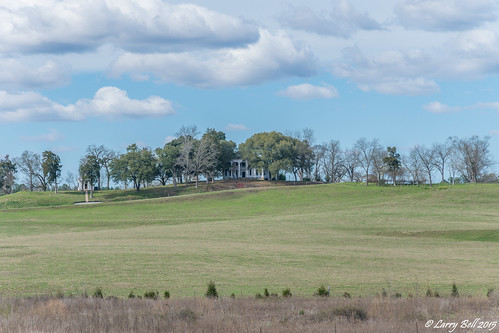
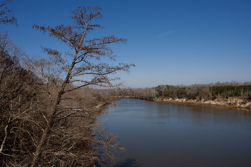
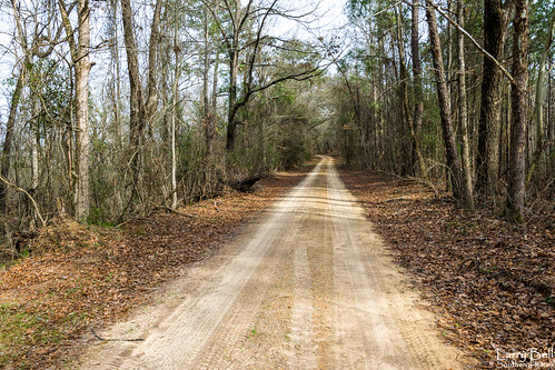
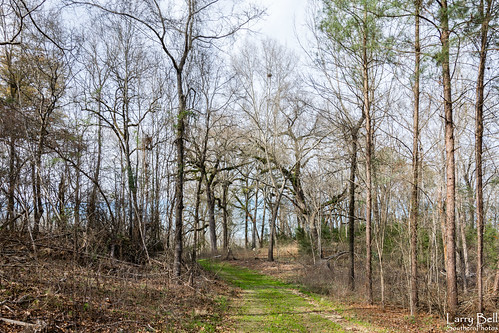
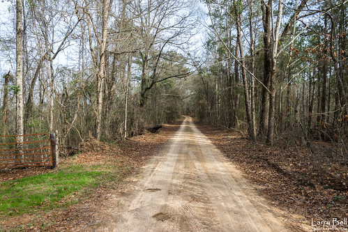
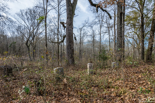
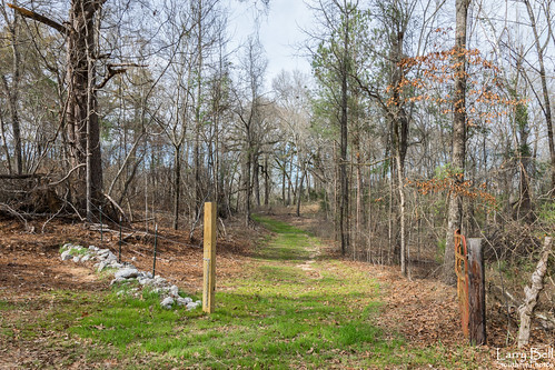
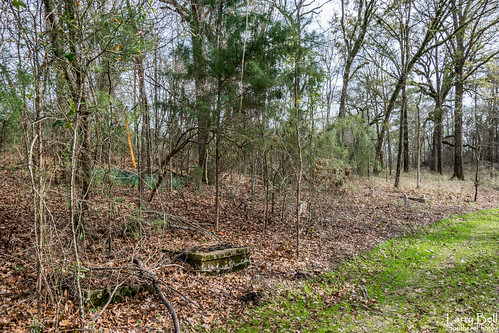
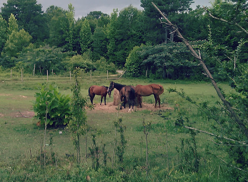
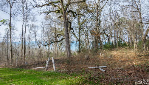
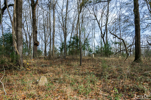
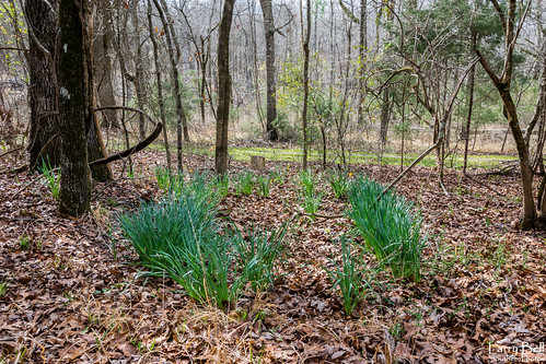
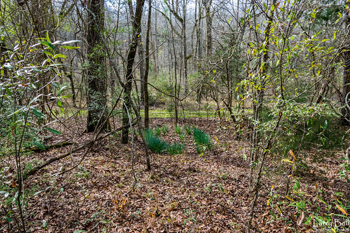
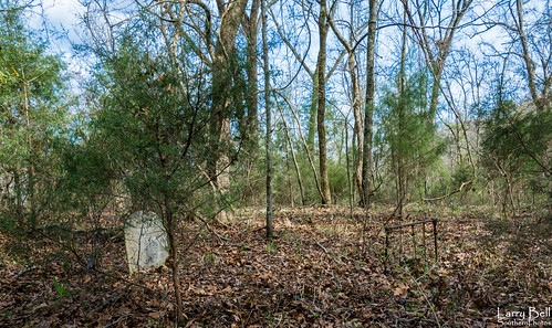
Elevation of Co Rd 20, Boligee, AL, USA
Location: United States > Alabama > Greene County > Boligee >
Longitude: -88.028701
Latitude: 32.7846664
Elevation: 38m / 125feet
Barometric Pressure: 101KPa
Related Photos:
Topographic Map of Co Rd 20, Boligee, AL, USA
Find elevation by address:

Places near Co Rd 20, Boligee, AL, USA:
Boligee
44 Co Rd 91, Boligee, AL, USA
Co Rd 72, Boligee, AL, USA
Co Rd 97, Boligee, AL, USA
AL-14, Eutaw, AL, USA
Co Rd, Boligee, AL, USA
Eutaw
Eutaw
Eutaw
Eutaw
Eutaw
Eutaw
Eutaw
Emerald Ln, Boligee, AL, USA
1438 Star Ln
Co Rd 20, Forkland, AL, USA
Forkland
Greene County
Jennings Ferry Park Campground
56 Jackson Quarter, Forkland, AL, USA
Recent Searches:
- Elevation of Corso Fratelli Cairoli, 35, Macerata MC, Italy
- Elevation of Tallevast Rd, Sarasota, FL, USA
- Elevation of 4th St E, Sonoma, CA, USA
- Elevation of Black Hollow Rd, Pennsdale, PA, USA
- Elevation of Oakland Ave, Williamsport, PA, USA
- Elevation of Pedrógão Grande, Portugal
- Elevation of Klee Dr, Martinsburg, WV, USA
- Elevation of Via Roma, Pieranica CR, Italy
- Elevation of Tavkvetili Mountain, Georgia
- Elevation of Hartfords Bluff Cir, Mt Pleasant, SC, USA

