Elevation of Jennings Ferry Park Campground, Jennings Ferry Rd, Akron, AL, USA
| Latitude | 32.8078083 |
|---|---|
| Longitude | -87.8112056 |
| Elevation | 36m / 118feet |
| Barometric Pressure | 1009KPa |
Related Photos:
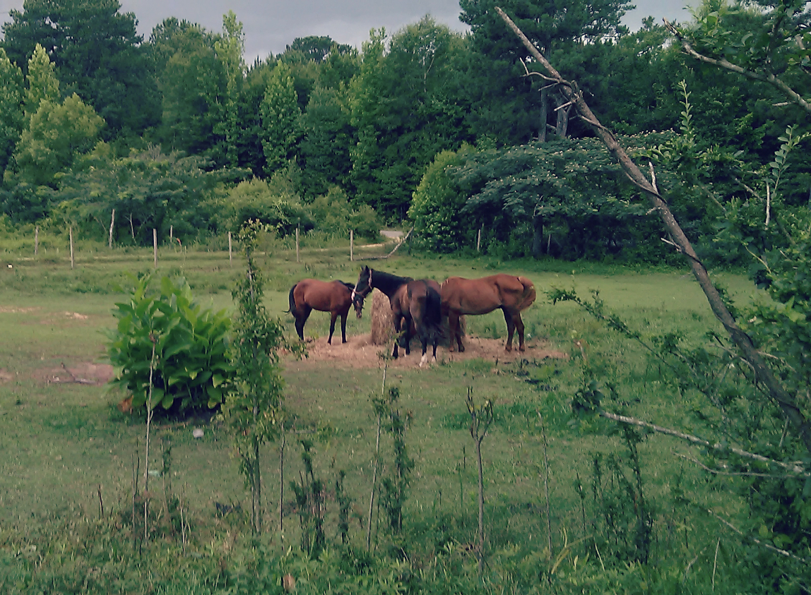
Horses in a field

Eutaw, Al-2.jpg
DSC_0256.jpg
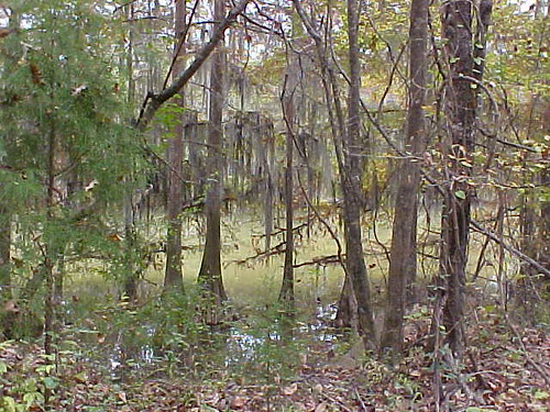
bayou-ish

DSC_0251.jpg
DSC_0242.jpg
DSC_0241.jpg

DSC_0253.jpg
DSC_0207.jpg
DSC_0245-Pano.jpg
DSC_0254.jpg

DSC_0226.jpg

DSC_0221.jpg

DSC_0219.jpg
DSC_0204.jpg
DSC_0202.jpg
DSC_0199.jpg
Topographic Map of Jennings Ferry Park Campground, Jennings Ferry Rd, Akron, AL, USA
Find elevation by address:
Places near Jennings Ferry Park Campground, Jennings Ferry Rd, Akron, AL, USA:
AL-60, Sawyerville, AL, USA
1438 Star Ln
Eutaw
Eutaw
Eutaw
Eutaw
Eutaw
Eutaw
Eutaw
Akron
Sawyerville
Oak Village Rd, Akron, AL, USA
1059 Co Rd 34
8967 Co Rd 21
AL-14, Sawyerville, AL, USA
56 Jackson Quarter, Forkland, AL, USA
Co Rd 20, Forkland, AL, USA
Forkland
51 Co Rd, Knoxville, AL, USA
Knoxville
Recent Searches:
- Elevation map of Central Hungary, Hungary
- Elevation map of Pest, Central Hungary, Hungary
- Elevation of Pilisszentkereszt, Pest, Central Hungary, Hungary
- Elevation of Dharamkot Tahsil, Punjab, India
- Elevation of Bhinder Khurd, Dharamkot Tahsil, Punjab, India
- Elevation of 2881, Chabot Drive, San Bruno, San Mateo County, California, 94066, USA
- Elevation of 10370, West 107th Circle, Westminster, Jefferson County, Colorado, 80021, USA
- Elevation of 611, Roman Road, Old Ford, Bow, London, England, E3 2RW, United Kingdom
- Elevation of 116, Beartown Road, Underhill, Chittenden County, Vermont, 05489, USA
- Elevation of Window Rock, Colfax County, New Mexico, 87714, USA
- Elevation of 4807, Rosecroft Street, Kempsville Gardens, Virginia Beach, Virginia, 23464, USA
- Elevation map of Matawinie, Quebec, Canada
- Elevation of Sainte-Émélie-de-l'Énergie, Matawinie, Quebec, Canada
- Elevation of Rue du Pont, Sainte-Émélie-de-l'Énergie, Matawinie, Quebec, J0K2K0, Canada
- Elevation of 8, Rue de Bécancour, Blainville, Thérèse-De Blainville, Quebec, J7B1N2, Canada
- Elevation of Wilmot Court North, 163, University Avenue West, Northdale, Waterloo, Region of Waterloo, Ontario, N2L6B6, Canada
- Elevation map of Panamá Province, Panama
- Elevation of Balboa, Panamá Province, Panama
- Elevation of San Miguel, Balboa, Panamá Province, Panama
- Elevation of Isla Gibraleón, San Miguel, Balboa, Panamá Province, Panama