Elevation of Elizabeth Ave, Beaumont, CA, USA

Location: United States > California > Riverside County > Beaumont >

Longitude: -116.96700

Latitude: 33.9460159

Elevation: 818m / 2684feet

Barometric Pressure: 92KPa

Elevation Map:

elevation map of Elizabeth Ave, Beaumont, CA, USA

Satellite Map:

Satellite map of Elizabeth Ave, Beaumont, CA, USA

Related Photos:

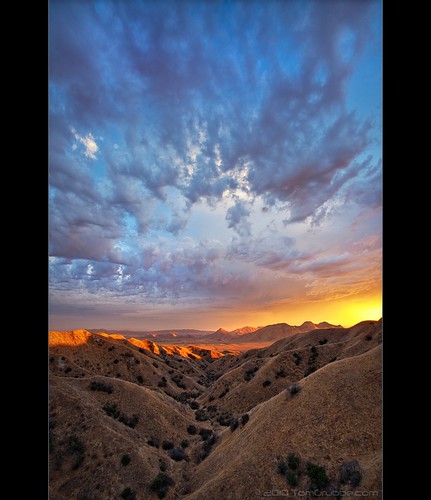
california autumn sunset sky storm fall clouds landscape countryside scenic hills valley morenovalley nortonyounglovereserve
Sunset Valley I
road longexposure snow mountains clouds landscape hills southerncalifornia banning inlandempire sangorgonio ndx00
View from Buff Rd LE
california sky field grass clouds landscape countryside spring hills inlandempire morenovalley
Spring Valley
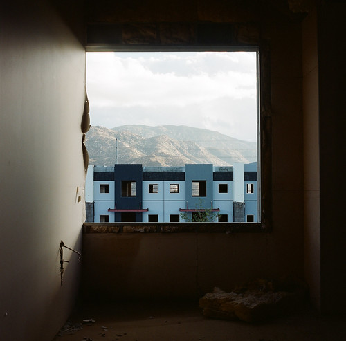
abandoned window urbanexploration leftbehind hasselblad500cm 7523 carlzeissplanar80mmf28t fujifilmpro800z theartofurbanexplorationgallery
.
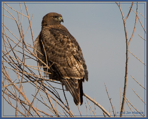
california bird us unitedstates hawk wildlife raptor redtailed nuevo sanjacintowildlifearea
Red-tail 9070
bw animal cattle zwartwit tagged contact calf inlandempire blackwhitephotos supereco bealivebetopbeseven
Sweet: Number 136.
charadriusvociferus killdeer plover sanjacintowildlifearea bird wetlands wildlife nuevo california unitedstates us
Killdeer 2618
california trains casco redlands amtrakspecialprsgep30chpoochel
ATK 714E @ El Casco
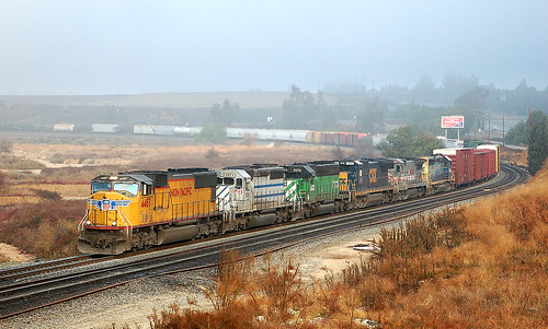
california up trains sp unionpacific southernpacific sd45 emd sd402 elcasco sd40 gp60 santimoteocanyon
Not Too Shabby
california sky blur west color abandoned 120 film analog train mediumformat fantastic tires hasselblad insanity banning infocus 500cm hasselblad500cm 7522 goingby carlzeissplanar80mmf28t kodakektar100 theartofurbanexplorationgallery
.
grass tom landscape countryside farm scenic hills valley canon5d morenovalley canon28135 grubbe tomgrubbe
Valley View
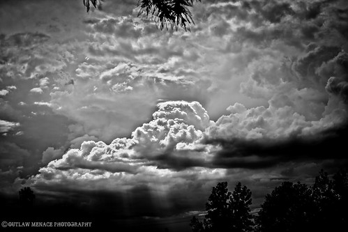
california trees light bw sun white black rain weather clouds high afternoon dynamic lightning storms range thunder redlands hdr yucaipa oakglen
The Storms of Late Summer
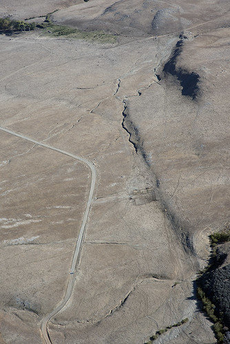
california nature flats burro sanandreasfault fault geology sanandreas banning saf geomorphology aerialphotograph riversidecounty scarp sangorgoniopass splayfault
Aerial view of the San Andreas Fault, Burro Flats, Riverside County, California
california digital train canon eos rebel sand mine open pass tracks pit robertsons hopper gravel banning cabazon sangorgonio sangorgoniopass xti openhopper robertsonsreadymix rrmx1033
Open Pit Mine
Sunset View 243
pool square squareformat morongocasino casinomorongo iphoneography instagramapp uploaded:by=instagram
Aerial View of Oasis Pool at #CasinoMorongo in #Cabazon with the #Escobedo and #Briceno family
above ca travel blue sky terrain cloud holiday mountains building green window nature field weather plane airplane landscape fly nokia losangeles high airport day ray looking view desert bright earth aircraft aviation flight wing lakes houston atmosphere sunny aerial hills airline rivers land layer phonecamera airliner stratosphere sangabrielmountains birdeye lumia1020 nokialumia1020
Aerial view over San Gabriel Mountains
trees usa snow mountains fall clouds america fallcolors harvest fences foliage farms apples farmbuildings appleorchards oakglenca earlyamericana dgrahamphoto
Oak Glen Harvest Time 11-10-12
roadgrader rustedmetal oldfarmequipment dgrahamphoto highlandspringsranchca
Road Grader, Highland Springs Ranch, CA 7-2011
california up trains unionpacific railroads beaumont emd sd402 sd70m sunsetroute santimoteopass
Only the Best
california bird unitedstates wildlife northernshoveler nuevo canonef300mmf28lisusm canonef300mmf28lisusm20x
Northern Shoveler 4767
Beaumont, California
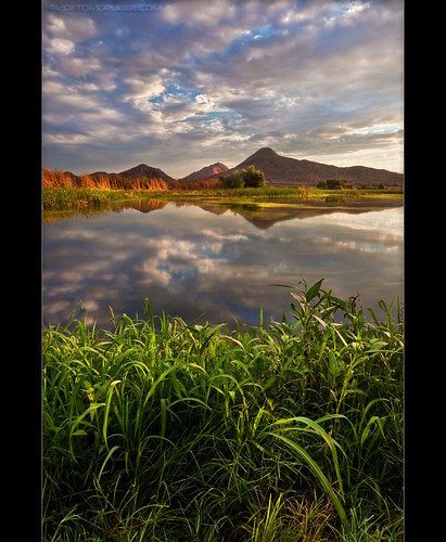
storm clouds sky tree pond reflection sanjacintowildlifearea california landscape
Storm Tree
sunset lake reflection grass clouds pond lagoon hills bog sanjacinto sanjacintowildlifearea
Summer Splendor
bw landscape grain banning inlandempire mountsanjacinto
Easter 2016
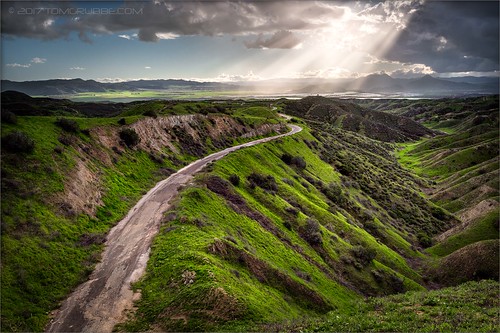
jackrabbittrail road hills green spring storm godbeams countryside california landscape
Jack Rabbit Trail Road
jackrabbittrail trail hills green spring clouds storm rain countryside california landscape
Jack Rabbit Storm
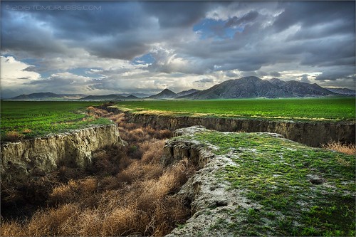
field farm countryside gorge chasm ravine tumbleweeds spring grass storm clouds morenovalley california landscape
Lumonitious Landscape
jackrabbittrail trail hills green spring storm countryside california landscape
Spring Trail II
storm clouds sky tree pond reflection sanjacintowildlifearea california landscape
Twilight Pond
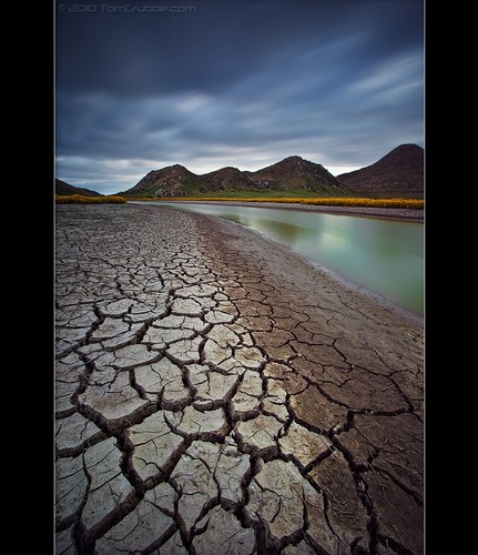
longexposure flowers mountains field clouds creek river landscape countryside stream earth hills wildflowers cracked hoya sanjacinto ndx400 sanjacintowildlifearea tomgrubbe tomgrubbecom
Stream Through Time II
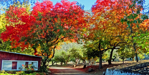
oakglenca inlandempire fall autumn fallleaves turningleaves apple appleorchard usa landscapes dgrahamphoto snowlineorchard california
Apple Orchard Autumn, Oak Glen, CA 2019
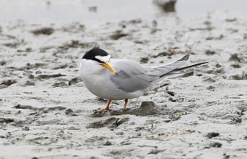
Least Tern
jackrabbittrail trail hills green spring storm countryside california landscape
Spring Trail
spring grass hills clouds storm lakeperris morenovalley nortonyounglovereserve longexposure californialandscape
New Season
trees summer field fire destruction smoke flames hills burning ash highway38 wildfire naturaldisaster mentone yucaipa outofcontrol
Fireside, the Burning
california sky storm clouds landscape spring hills badlands morenovalley jackrabbittrail
Hills from Jack Rabbit Trail
Lush Hills
california storm field grass clouds landscape countryside spring farm ravine gorge tumbleweeds chasm morenovalley
Spring Valley Gorge