Elevation of Cherry Valley, CA, USA
Location: United States > California > Riverside County >
Longitude: -116.97724
Latitude: 33.9725153
Elevation: 862m / 2828feet
Barometric Pressure: 91KPa
Elevation Map:
Satellite Map:
Related Photos:

Sunset Valley I

View from Buff Rd LE

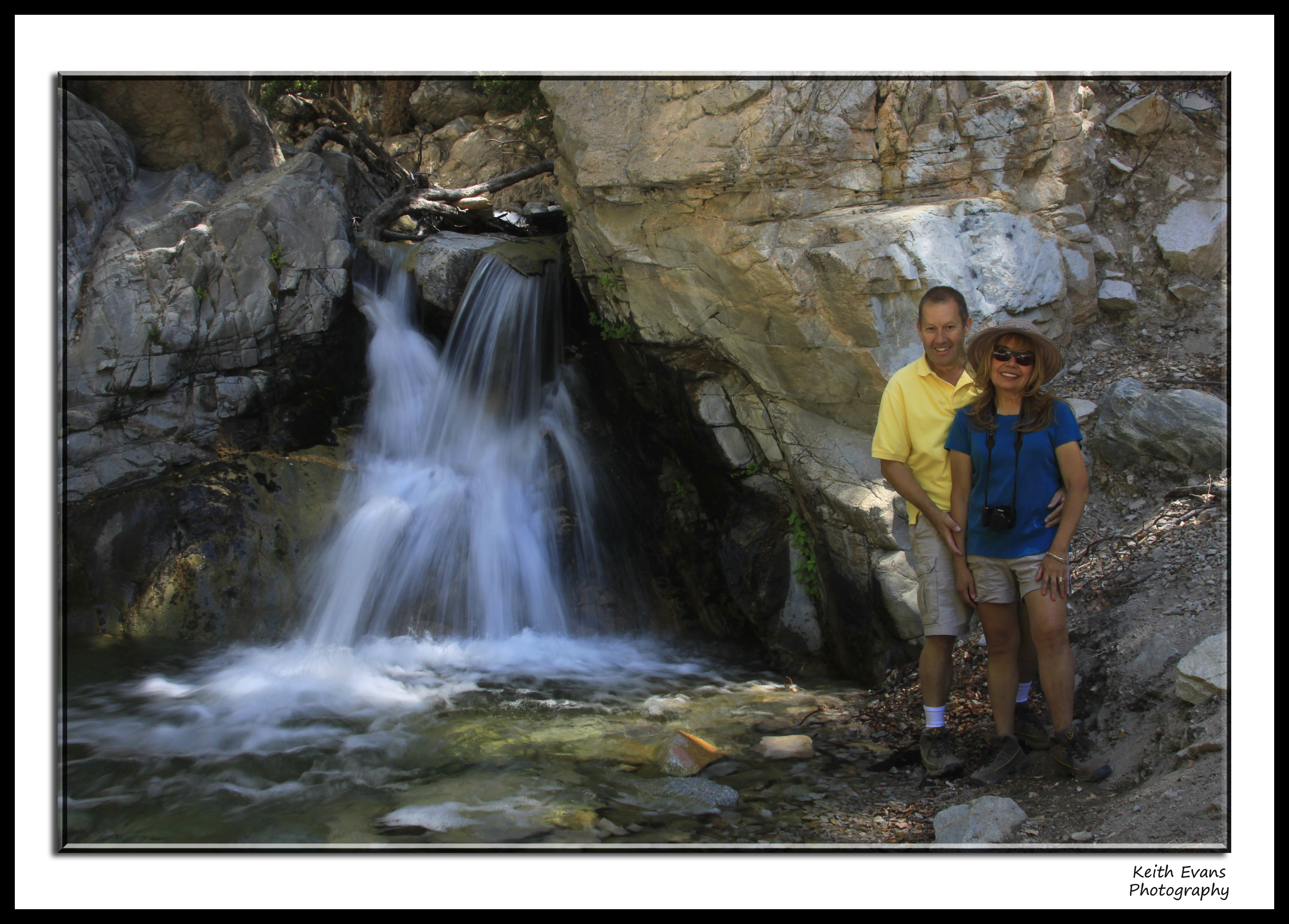
Big Falls Stream - Forest Falls, CA, USA

Valley View
.

ATK 714E @ El Casco

.

Not Too Shabby

Day 347/365: I know I'm going where the sun always shines (explored #328 on June 8, 2009)

Winter Pond, Oak Glen, CA 1-19-13

sunny rear view

Big Falls Creek Long Exposure

Bogart Park_0068

Live Oak Farms, Wagon 12-9-12

"Fall has always been my favorite season
Oak Glen Harvest Time 11-10-12
Winding Road up Morton Peak

Bogart Park_0058

Bogart Park_0041
Valley View II

Bogart Park_0059

UP 7492

Hills from Jack Rabbit Trail

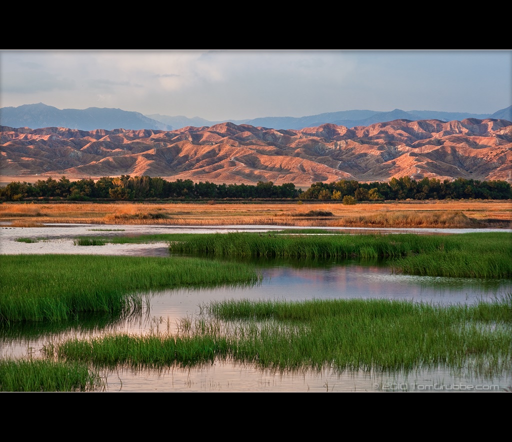
Summer Splendor
Grass and Badlands
September Pond

Twilight Rocks and Stream

Yucaipa/Mentone Fire

Feelings of Aqua

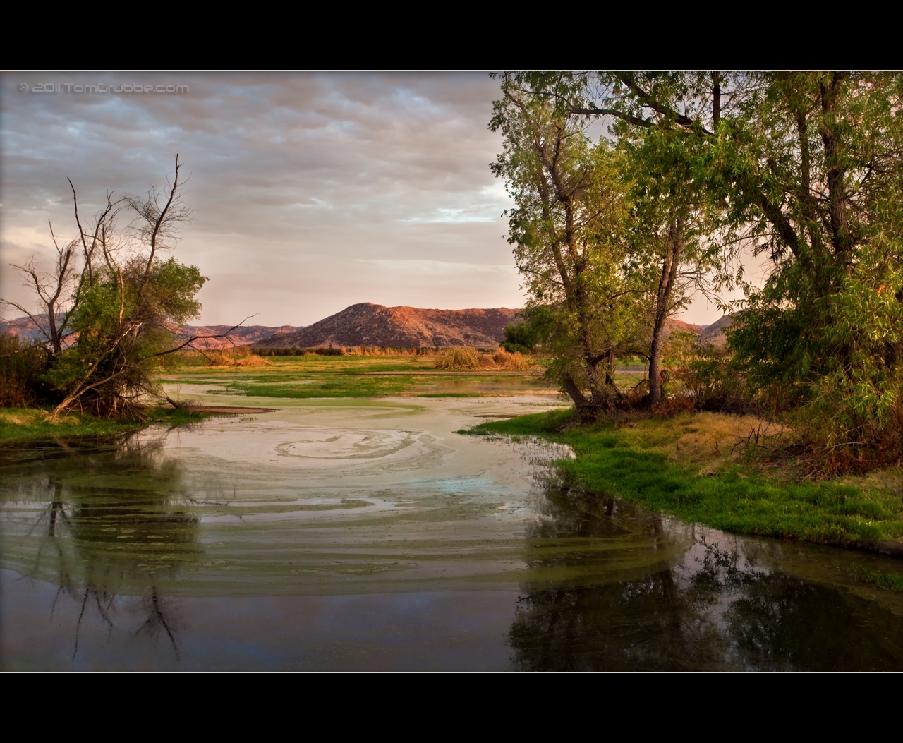
Spring Valley
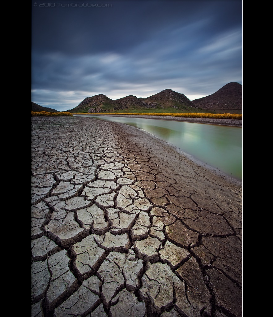
Stream Through Time II
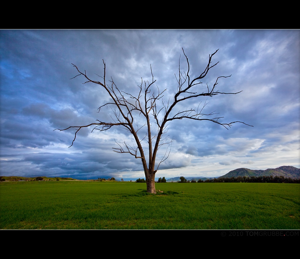
Tree and Field
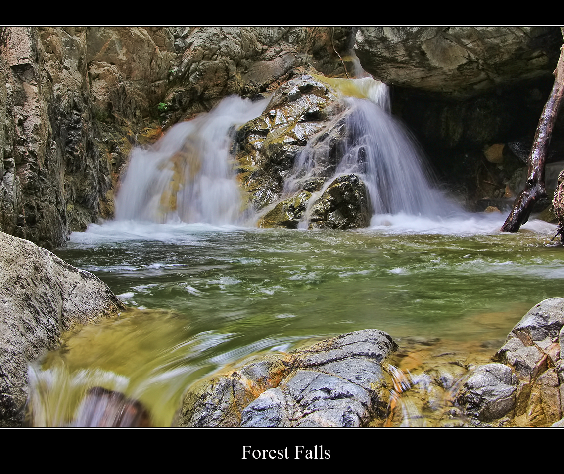
Forest Falls
A Storm's Reward

Sunset Melody
Underworld II
FF 010
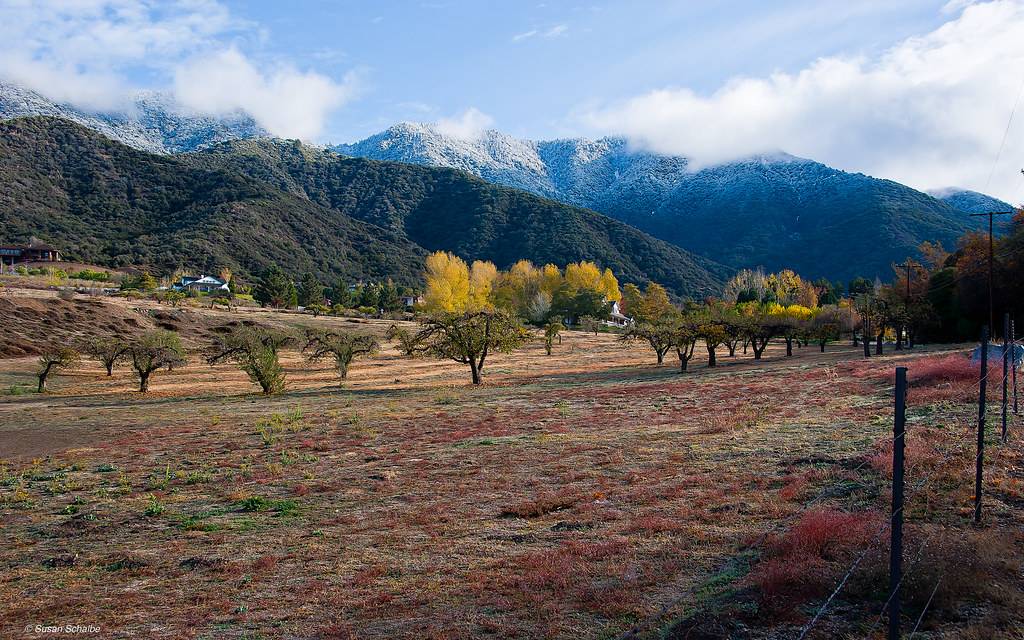
Autumn day in apple country

Sunset Valley II
Topographic Map of Cherry Valley, CA, USA
Find elevation by address:

Places in Cherry Valley, CA, USA:
Places near Cherry Valley, CA, USA:
Vineland St, Cherry Valley, CA, USA
Beaumont High School
39870 High St
39740 Ave Sonrisa
39954 Cherry Valley Blvd
38813 Cherrystone Ave
1723 Miranda Ln
9055 Bonita Dr
9314 Ave Altejo Bella
779 Pine Ridge Cir
9446 Ave Altura Bella
Stargazer Street
40626 Dutton St
1728 Sarazen St
9089 Whispering Pines Rd
1425 Cherry Ave
Ruby Lane
1410 Oak Valley Pkwy
1010 Shelby St
1382 Elizabeth Ave
Recent Searches:
- Elevation of Corso Fratelli Cairoli, 35, Macerata MC, Italy
- Elevation of Tallevast Rd, Sarasota, FL, USA
- Elevation of 4th St E, Sonoma, CA, USA
- Elevation of Black Hollow Rd, Pennsdale, PA, USA
- Elevation of Oakland Ave, Williamsport, PA, USA
- Elevation of Pedrógão Grande, Portugal
- Elevation of Klee Dr, Martinsburg, WV, USA
- Elevation of Via Roma, Pieranica CR, Italy
- Elevation of Tavkvetili Mountain, Georgia
- Elevation of Hartfords Bluff Cir, Mt Pleasant, SC, USA