Elevation of Pine Ridge Cir, Beaumont, CA, USA
Location: United States > California > Riverside County > Beaumont >
Longitude: -116.99177
Latitude: 33.955777
Elevation: 795m / 2608feet
Barometric Pressure: 92KPa
Elevation Map:
Satellite Map:
Related Photos:

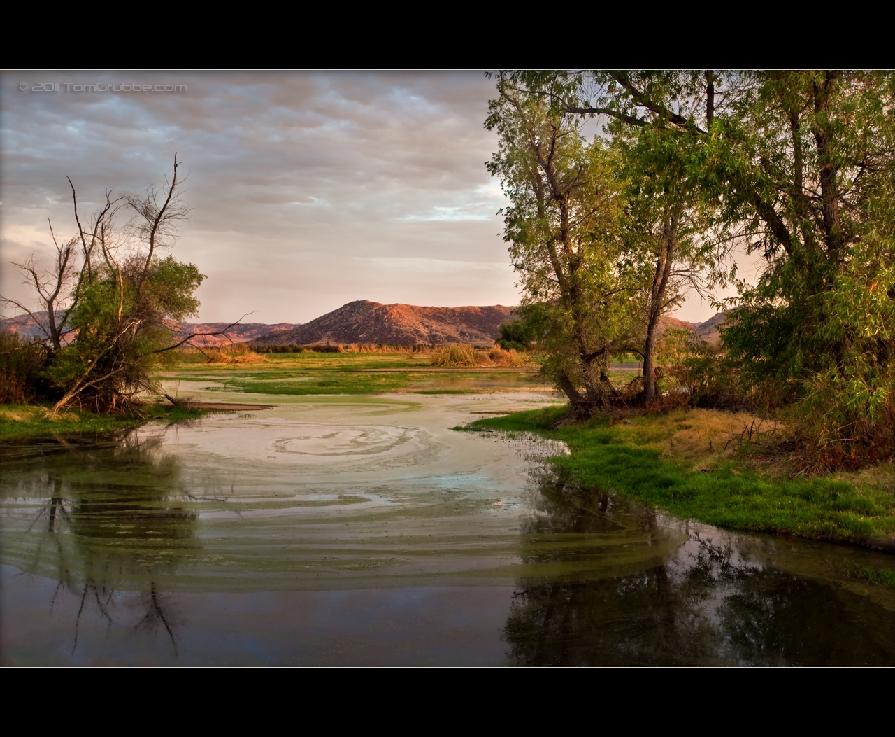
Sunset Valley I

Winter Pond, Oak Glen, CA 1-19-13

Swim Lane
Sun on Oak Leaves, Oak Glen, CA 11-8-14
Oak Glen Harvest Time 11-10-12

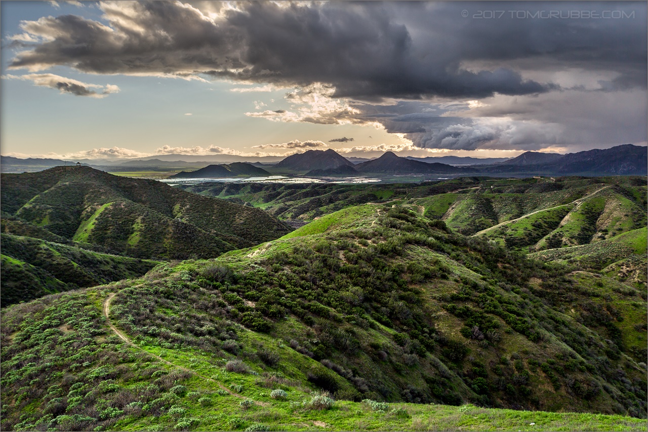
View from Buff Rd LE
Sweet: Number 136.

Northern Shoveler 4767

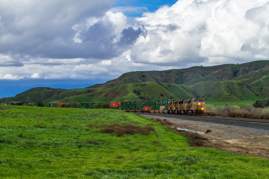
ATK 714E @ El Casco

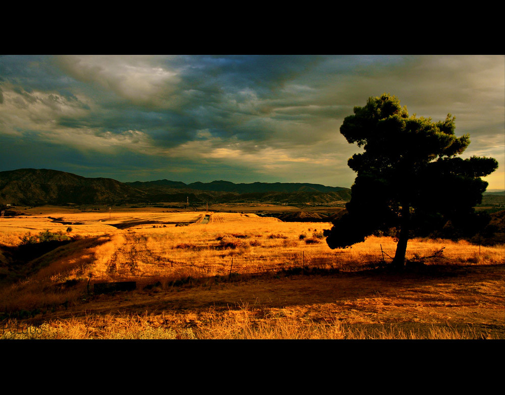
Valley View
.

the view from here [7:52]

Back From the Desert

.

Not Too Shabby

sunny rear view

Bogart Park_0068

Original to these lands.

Live Oak Farms, Wagon 12-9-12
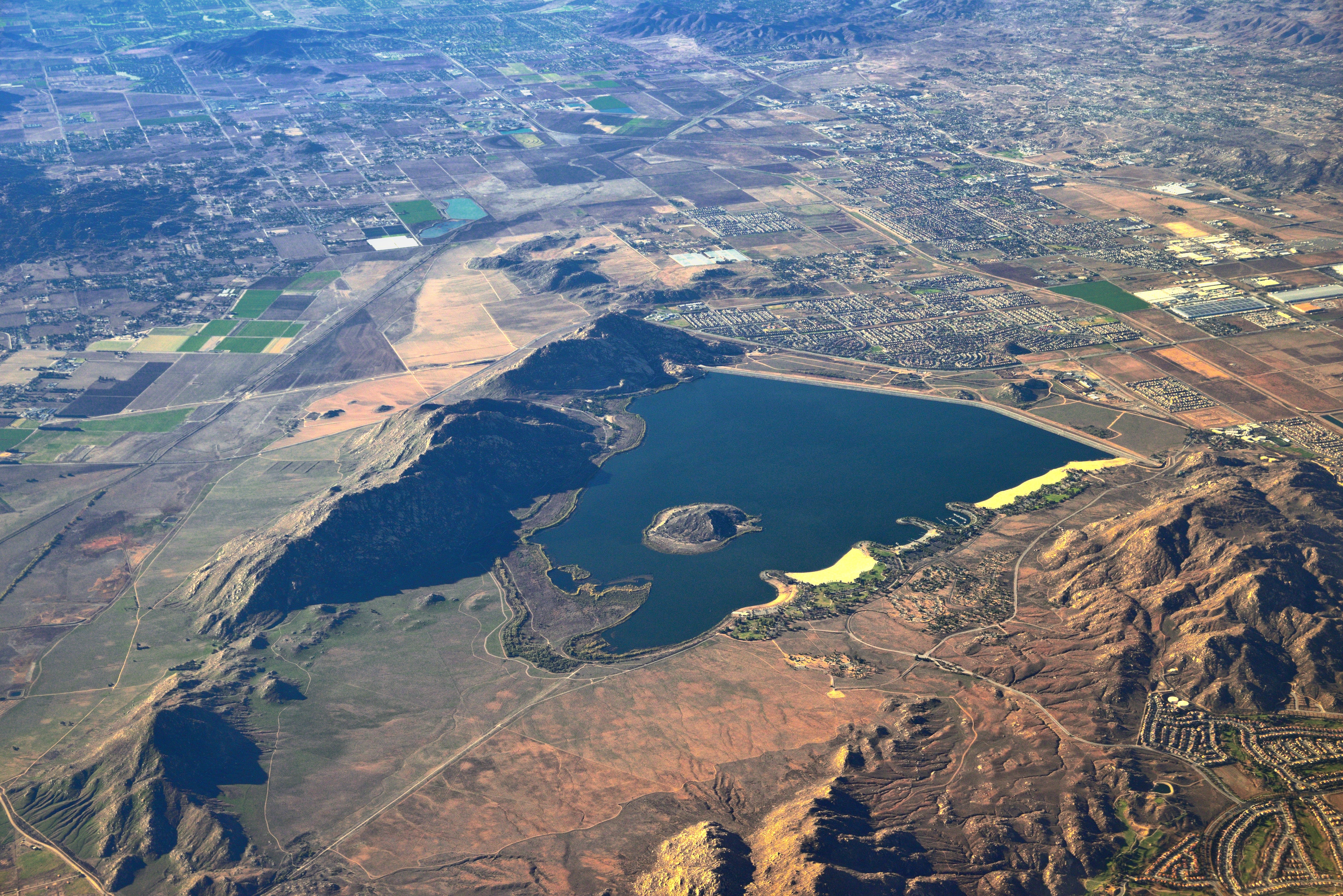
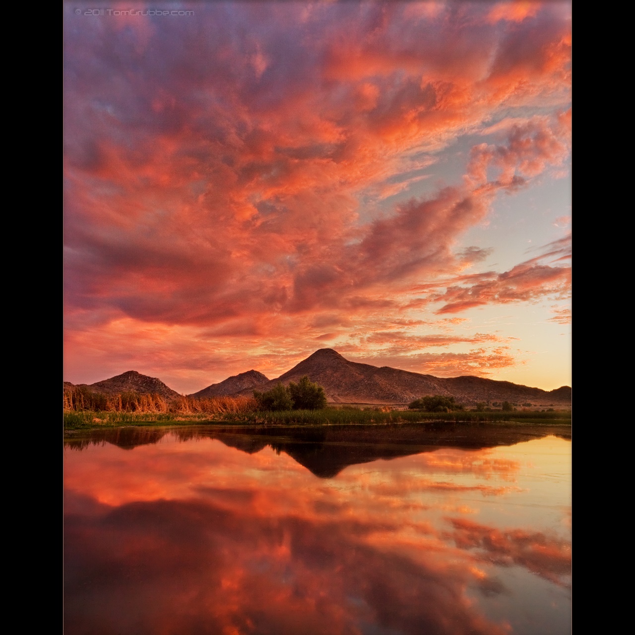
Lake Perris, Surrounded by Hills and Mountains

"Fall has always been my favorite season

Palm Springs - 2017
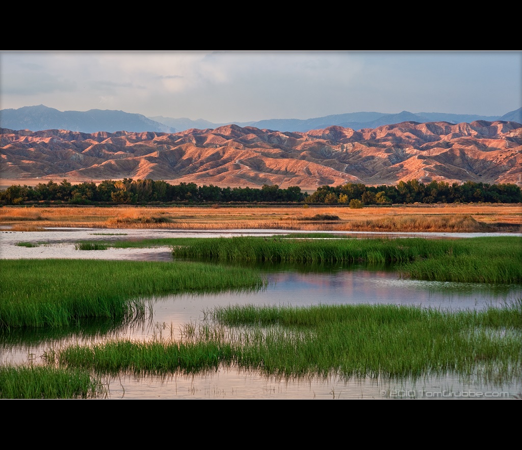
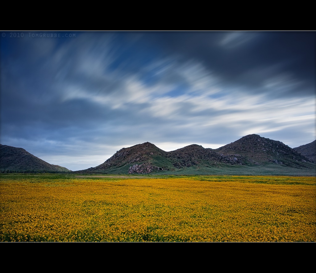
Grass and Badlands

UP 7492
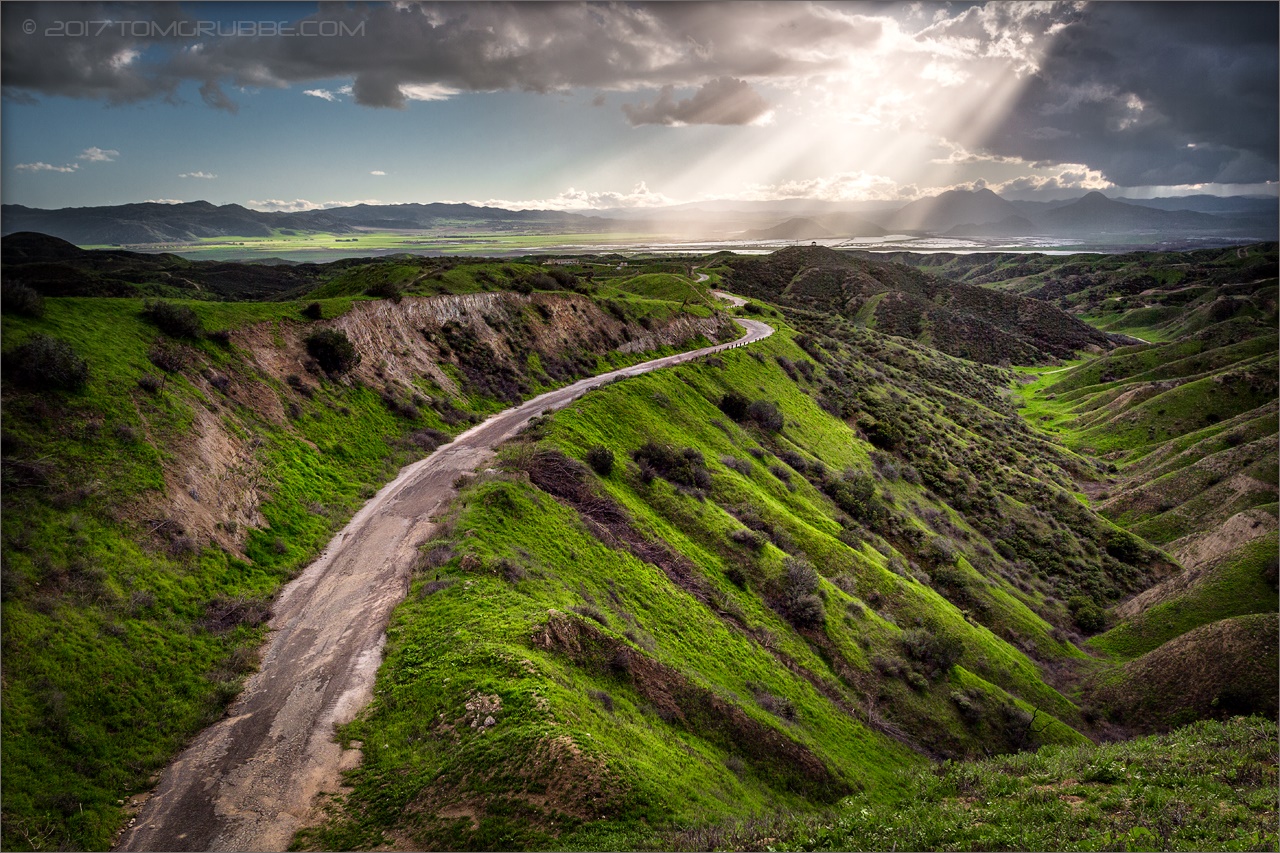
Jack Rabbit Trail Road
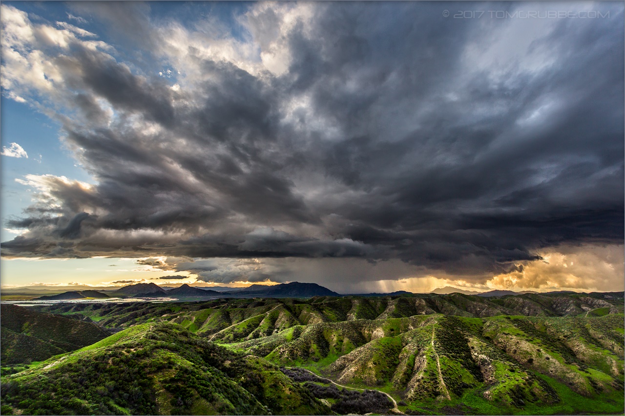
Jack Rabbit Storm
Spring Trail

UP 7939

Twilight Rocks and Stream

Fire under a Full Moon II
Sunset Melody
Lush Hills

Snow Creek

Summer Splendor

Hills from Jack Rabbit Trail
Dream Field
September Pond
Lonely Tree

Yucaipa/Mentone Fire
Topographic Map of Pine Ridge Cir, Beaumont, CA, USA
Find elevation by address:

Places near Pine Ridge Cir, Beaumont, CA, USA:
Stargazer Street
1728 Sarazen St
Beaumont High School
1147 Saguara Rd
1723 Miranda Ln
Cherry Valley
Vineland St, Cherry Valley, CA, USA
880 Hurstland Ave
1695 Cactus Wren Ct
1010 Shelby St
1382 Elizabeth Ave
1425 Cherry Ave
1410 Oak Valley Pkwy
38813 Cherrystone Ave
39870 High St
39954 Cherry Valley Blvd
Beaumont
Straightaway Drive
Ruby Lane
36344 Par Ln
Recent Searches:
- Elevation of Corso Fratelli Cairoli, 35, Macerata MC, Italy
- Elevation of Tallevast Rd, Sarasota, FL, USA
- Elevation of 4th St E, Sonoma, CA, USA
- Elevation of Black Hollow Rd, Pennsdale, PA, USA
- Elevation of Oakland Ave, Williamsport, PA, USA
- Elevation of Pedrógão Grande, Portugal
- Elevation of Klee Dr, Martinsburg, WV, USA
- Elevation of Via Roma, Pieranica CR, Italy
- Elevation of Tavkvetili Mountain, Georgia
- Elevation of Hartfords Bluff Cir, Mt Pleasant, SC, USA