Elevation of Bonita Dr, Cherry Valley, CA, USA
Location: United States > California > Riverside County > Cherry Valley >
Longitude: -116.97853
Latitude: 33.989995
Elevation: 956m / 3136feet
Barometric Pressure: 90KPa
Elevation Map:
Satellite Map:
Related Photos:

View from Buff Rd LE

Big Falls Stream - Forest Falls, CA, USA

sunny rear view

Big Falls Creek Long Exposure
Valley View II
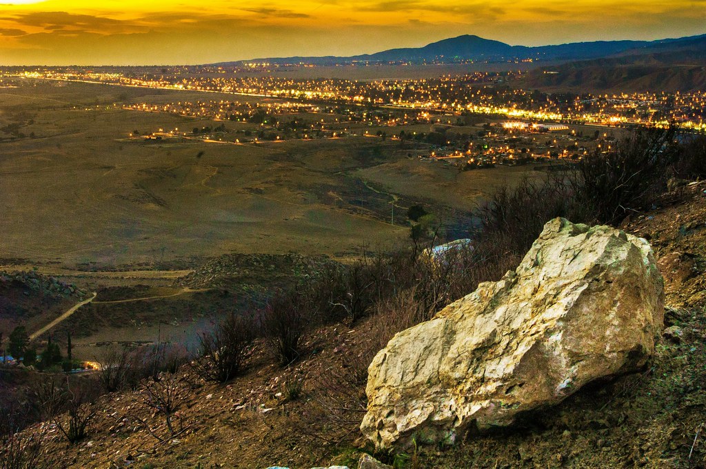
Sunset View 243
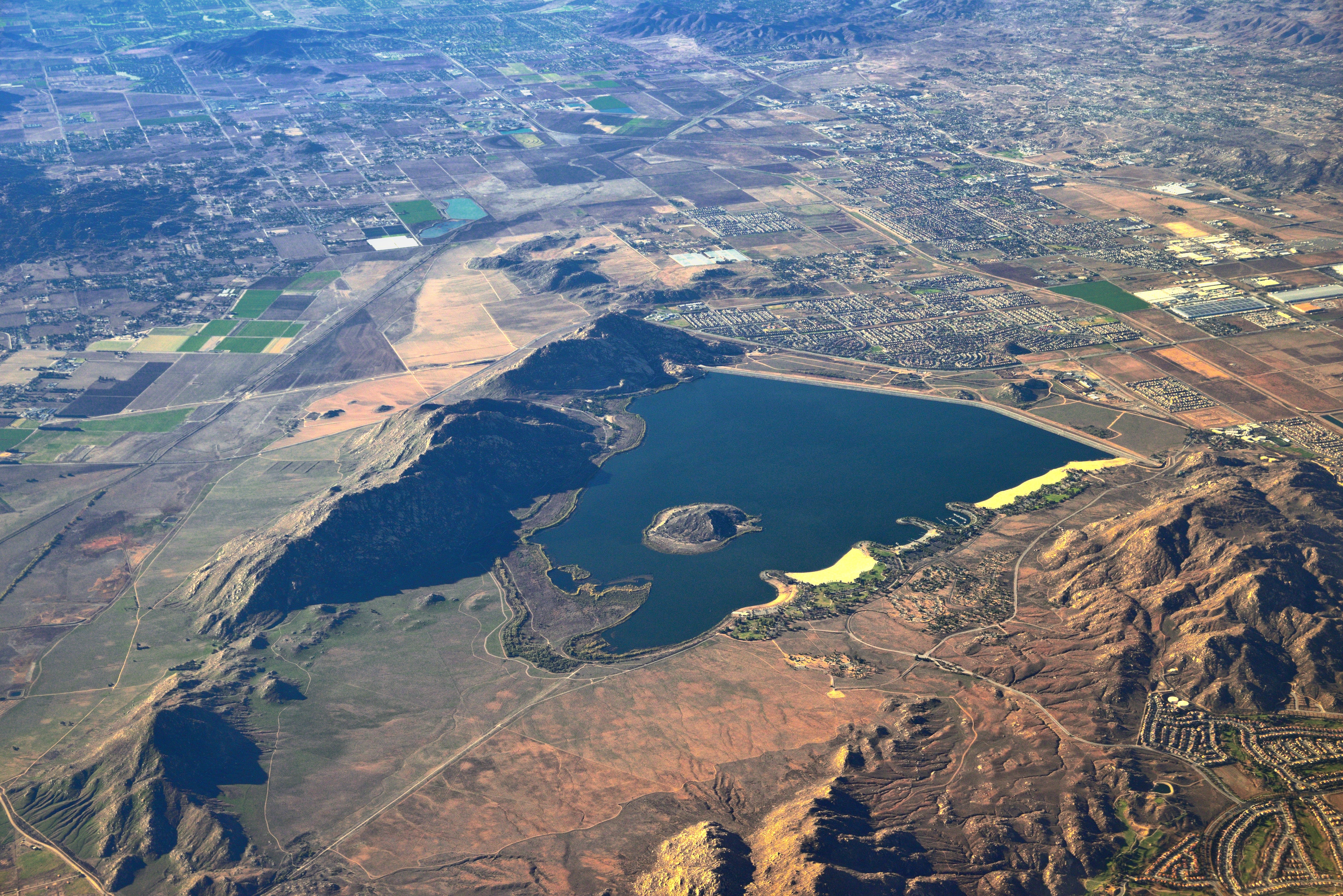
Lake Perris, Surrounded by Hills and Mountains
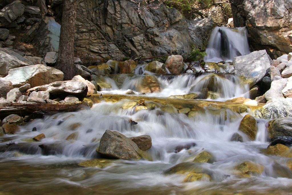
Big Falls Cascading Creek
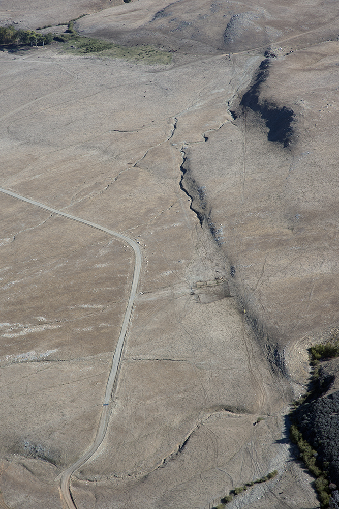
Aerial view of the San Andreas Fault, Burro Flats, Riverside County, California
View from Buff Rd
Valley View Up Close

Sunset Valley I

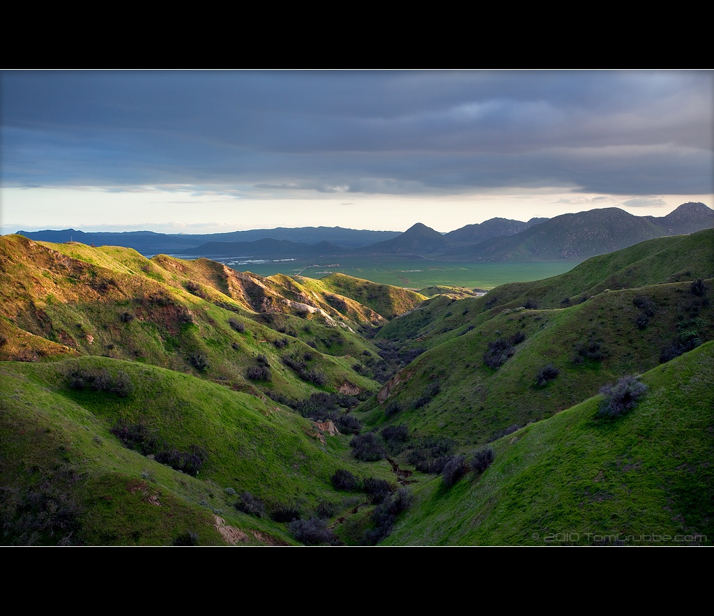
Valley View
.

ATK 714E @ El Casco

.

Not Too Shabby

Winter Pond, Oak Glen, CA 1-19-13

Bogart Park_0068

"Fall has always been my favorite season

Live Oak Farms, Wagon 12-9-12

Hills from Jack Rabbit Trail

UP 7492

Feelings of Aqua

Yucaipa/Mentone Fire

Mill Creek and Storm III
Rock Train

Reach - Forest Falls, CA, USA

Good Intentions

Mill Creek Storm Sunset

Fireside, the Burning

Panorama, Live Oak Canyon 6-16-13

Retired, Oak Glen, CA 11-13

Feeling Lost...

Twilight Rocks and Stream

Spring Valley
Topographic Map of Bonita Dr, Cherry Valley, CA, USA
Find elevation by address:

Places near Bonita Dr, Cherry Valley, CA, USA:
38813 Cherrystone Ave
13776 Meadow View Ln
38530 Shadow Valley Ln
39740 Ave Sonrisa
13739 Meadow View Ln
Cherry Valley
Vineland St, Cherry Valley, CA, USA
13687 Pine View Dr
9314 Ave Altejo Bella
13644 Oak Mountain Dr
9089 Whispering Pines Rd
9446 Ave Altura Bella
39870 High St
8760 Camino Del Norte
37258 Wildwood View Dr
39954 Cherry Valley Blvd
37170 Wildwood View Dr
Beaumont High School
40626 Dutton St
Oak View Road
Recent Searches:
- Elevation of Corso Fratelli Cairoli, 35, Macerata MC, Italy
- Elevation of Tallevast Rd, Sarasota, FL, USA
- Elevation of 4th St E, Sonoma, CA, USA
- Elevation of Black Hollow Rd, Pennsdale, PA, USA
- Elevation of Oakland Ave, Williamsport, PA, USA
- Elevation of Pedrógão Grande, Portugal
- Elevation of Klee Dr, Martinsburg, WV, USA
- Elevation of Via Roma, Pieranica CR, Italy
- Elevation of Tavkvetili Mountain, Georgia
- Elevation of Hartfords Bluff Cir, Mt Pleasant, SC, USA