Elevation of Highland Springs Resort, Highland Springs Ave, Cherry Valley, CA, USA

Location: United States > California > Riverside County > Cherry Valley >

Longitude: -116.94449

Latitude: 33.968666

Elevation: 906m / 2972feet

Barometric Pressure: 91KPa

Elevation Map:

elevation map of Highland Springs Resort, Highland Springs Ave, Cherry Valley, CA, USA

Satellite Map:

Satellite map of Highland Springs Resort, Highland Springs Ave, Cherry Valley, CA, USA

Related Photos:

road longexposure snow mountains clouds landscape hills southerncalifornia banning inlandempire sangorgonio ndx00
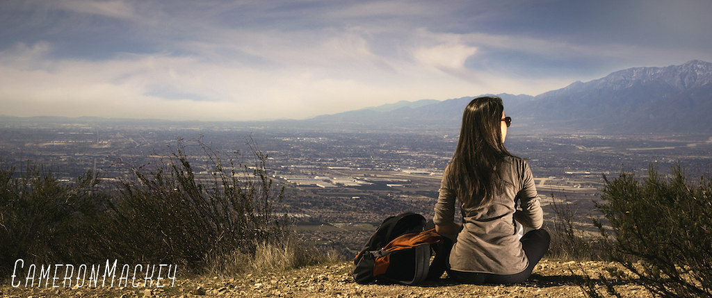
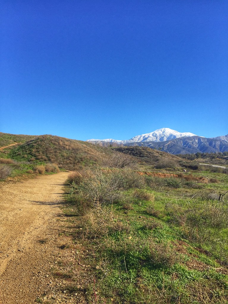
View from Buff Rd LE
california up trains sp unionpacific southernpacific sd45 emd sd402 elcasco sd40 gp60 santimoteocanyon
Not Too Shabby
california longexposure travel usa nature creek canon river landscape photo waterfall photographer picture southerncalifornia 2010 forestfalls sanbernardinonationalforest bigfalls 40d photographersnaturecom davetoussaint
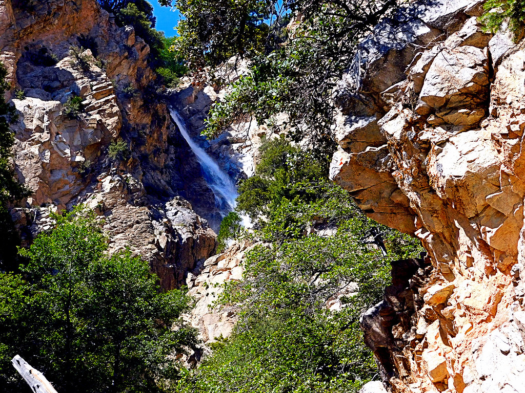
Big Falls Creek Long Exposure
california digital train canon eos rebel sand mine open pass tracks pit robertsons hopper gravel banning cabazon sangorgonio sangorgoniopass xti openhopper robertsonsreadymix rrmx1033
Open Pit Mine
Sunset View 243
trees usa snow mountains fall clouds america fallcolors harvest fences foliage farms apples farmbuildings appleorchards oakglenca earlyamericana dgrahamphoto
Oak Glen Harvest Time 11-10-12
california snow cute clouds relax glasses healthy pretty view hiking flash dirt trail highland backpack workout fitness redlands fit trailmix mentone yucaipa sanbernardino tennisshoes canon50mm18 strobist canon550 zanjapeak canont2i
Original to these lands.
california golf oak course valley
Oak Valley #15 -view back to fairway r
california autumn fallleaves usa fall apple scale landscapes bluesky redleaves appleorchard inlandempire turningleaves backlitleaves oakglenca snowlineorchard dgrahamphoto
Sun on Oak Leaves, Oak Glen, CA 11-8-14
roof usa california banning googleearth aerial aerialaudience
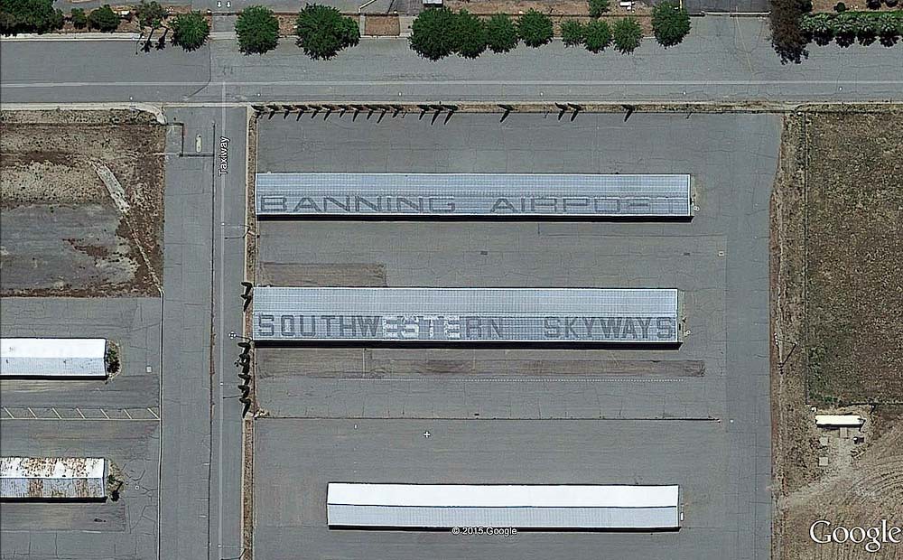
Banning Airport... 20151210
california up trains unionpacific railroads beaumont emd sd402 sd70m sunsetroute santimoteopass
Only the Best
abandoned window urbanexploration leftbehind hasselblad500cm 7523 carlzeissplanar80mmf28t fujifilmpro800z theartofurbanexplorationgallery
.
california longexposure water river landscape photography nikon stream unitedstates sanbernardinocounty forestfalls d7000 photographersontumblr
Big Falls Stream - Forest Falls, CA, USA
bw animal cattle zwartwit tagged contact calf inlandempire blackwhitephotos supereco bealivebetopbeseven
Sweet: Number 136.
california travel lake mountains unitedstates hills day1 miscellaneous lakeperris morenovalley project365 colorefexpro lakeperrisstaterecreationarea lookingouttheairplanewindow lookingoutsideplanewindow nikond800e lookingoutairplanewindow flightaustolax citygridpattern
Lake Perris, Surrounded by Hills and Mountains
california sky blur west color abandoned 120 film analog train mediumformat fantastic tires hasselblad insanity banning infocus 500cm hasselblad500cm 7522 goingby carlzeissplanar80mmf28t kodakektar100 theartofurbanexplorationgallery
.
mountains creek nikon flickr with valley friendly hikes millcreekcanyon sanbernadino googleimages bernadino forestfalls friendlydog fallsmill sanbernadinomountains yahooimages forestdog canyonforest bingimages dogsnational nikond5100 swazileigh fallssan fallsbig valleyoffalls mountainsfallsgreenwaterwaterfallwaterfallshikehikingmountainhiking
1 of (7) LOWER Falls- Valley of Falls, Mill Creek Canyon, San Bernadino Mountains
california trees light bw sun white black rain weather clouds high afternoon dynamic lightning storms range thunder redlands hdr yucaipa oakglen
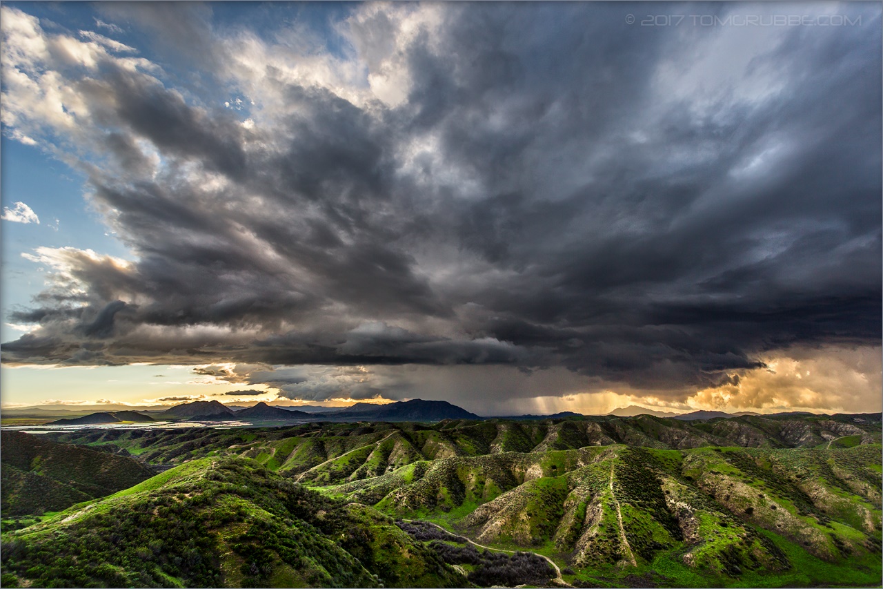
The Storms of Late Summer
california nature flats burro sanandreasfault fault geology sanandreas banning saf geomorphology aerialphotograph riversidecounty scarp sangorgoniopass splayfault
Aerial view of the San Andreas Fault, Burro Flats, Riverside County, California
trees usa snow mountains fall clouds america fallcolors harvest fences foliage farms apples farmbuildings appleorchards oakglenca earlyamericana dgrahamphoto
Oak Glen Harvest Time 11-10-12
oakglenca pond reeds cattails reflection losriosranchos mountains winter apples orchards trees inlandempireca agriculture farming dgrahamphoto
Winter Pond, Oak Glen, CA 1-19-13
Beaumont, California
sanbernardinonationalforest forestfalls california photo digital spring forest waterfall canyon landscape
Upper Forest Falls
jackrabbittrail road hills green spring storm godbeams countryside california landscape
Jack Rabbit Trail Road
california snow mountains creek forest river landscape stream millcreek forestfalls
Snow Creek
jackrabbittrail trail hills green spring clouds storm rain countryside california landscape
Jack Rabbit Storm
sanbernardinonationalforest forestfalls california photo digital spring canyon creek stream landscape
Mill Creek Canyon
jackrabbittrail trail hills green spring storm countryside california landscape
Spring Trail II
jackrabbittrail trail hills green spring storm countryside california landscape
Spring Trail
road snow mountains clouds landscape hills southerncalifornia banning inlandempire sangorgonio
Banning Road
sanbernardinonationalforest mountainhome california photo digital spring canyon mountains landscape
Mill Creek Canyon
sanbernardinonationalforest forestfalls california photo digital spring forest mountain conifers landscape
Little San Gorgonio Peak
bw landscape grain banning inlandempire mountsanjacinto
Easter 2016
oakglenca inlandempire fall autumn fallleaves turningleaves apple appleorchard usa landscapes dgrahamphoto snowlineorchard california
Apple Orchard Autumn, Oak Glen, CA 2019
sanbernardinonationalforest forestfalls california photo digital spring forest canyon trees conifers blackandwhite landscape
Mill Creek Canyon
Crafton Hills hiking trails.
trees sunset mountain storm clouds creek river landscape stream dusk millcreek forestfalls
Mill Creek and Storm III
sanbernardinonationalforest forestfalls california photo digital spring jeffreypine pinusjeffreyi tree canyon blackandwhite landscape
Jeffrey Pine
trees sunset mountain storm clouds landscape stream dusk millcreek forestfalls tomgrubbe tomgrubbecom
Mill Creek Storm Sunset
trees summer field fire destruction smoke flames hills burning ash highway38 wildfire naturaldisaster mentone yucaipa outofcontrol
Fireside, the Burning
california sky storm clouds landscape spring hills badlands morenovalley jackrabbittrail
Hills from Jack Rabbit Trail