Elevation of E Thunder Point, Payson, AZ, USA
Location: United States > Arizona > Gila County > Payson >
Longitude: -111.2740858
Latitude: 34.2476647
Elevation: 1455m / 4774feet
Barometric Pressure: 0KPa
Related Photos:

Mogollon Rim

Scuderia Southwest: Drive to Payson

Supercar Specialists: Drive to Payson
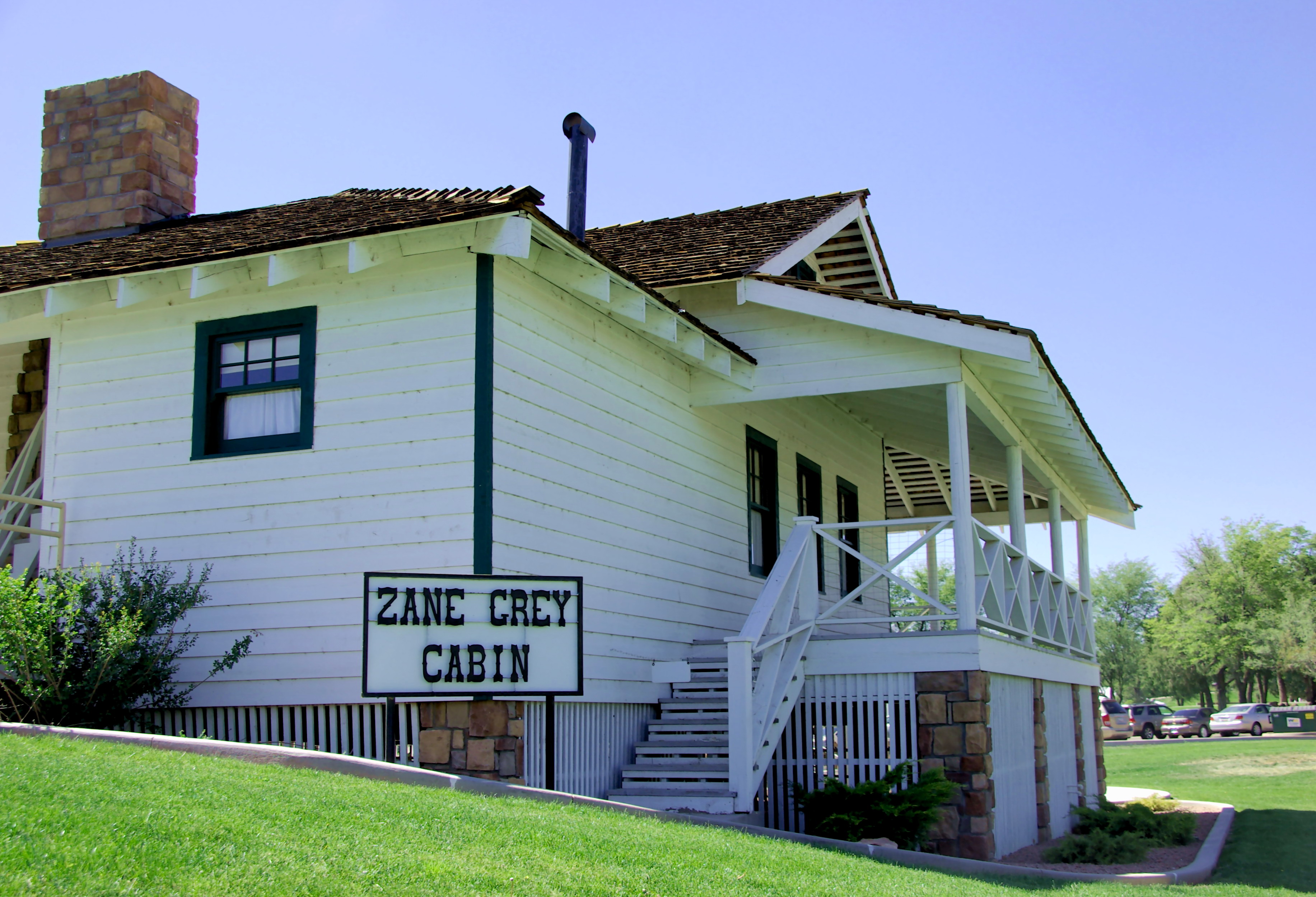
Zane Grey Cabin - Payson Arizona - NW view

Honor Respect Remember - Generation by Generation

Rim Country Museum - Payson Arizona

Payson Airport

Felix Takes in Another View

Granite Dells View

Granite Dells Biking

View from the Rim

66/365 Sleepy Hollow Sunset

70/365 East Verde River

Payson, Arizona

Grand Canyon

Blobs of Granite

2018/365/37 Sky Mood

72/365 East Verde River Running High

Honeymoon adventure at the Tonto Natural Bridge

Honeymoon adventure at the Tonto Natural Bridge

Superstition Mountains

Granite Pile

If you're looking for a little adventure time, the trail to water wheel will give you some. #waterwheel

Payson, Arizona

Payson, Arizona

Payson, Arizona

Green Valley Park Sunrise

East Verde River. On Houston Mesa Road near Payson, Arizona

US Forest Service Firefighter sculpture & monument - Rim Country Museum - Payson Arizona

Roadside Paleozoic
Topographic Map of E Thunder Point, Payson, AZ, USA
Find elevation by address:

Places near E Thunder Point, Payson, AZ, USA:
402 S Rainbow Ridge
2902 E Lions Pocket
East Rim Club Drive
2100 E Feather Plume Ln
Star Valley
225 S Thunder Mountain
East Buckskin Lane
1429 N Alpine Heights Dr
400 N Maranatha Rd
1500 N Alpine Heights Dr
1100 N Gila Dr
301 S Beeline Hwy Ste A
Days Inn & Suites By Wyndham Payson
Morris Road
206 S Beeline Hwy
Payson
410 S Tonto St
308 W Frontier St
205 E Phoenix St
7674 W Gibson Ranch Rd
Recent Searches:
- Elevation of Clifton Down, Clifton, Bristol, City of Bristol, England, BS8 3HU, United Kingdom
- Elevation map of Auvergne-Rhône-Alpes, France
- Elevation map of Upper Savoy, Auvergne-Rhône-Alpes, France
- Elevation of Chamonix-Mont-Blanc, Upper Savoy, Auvergne-Rhône-Alpes, France
- Elevation of 908, Northwood Drive, Bridge Field, Chesapeake, Virginia, 23322, USA
- Elevation map of Nagano Prefecture, Japan
- Elevation of 587, Bascule Drive, Oakdale, Stanislaus County, California, 95361, USA
- Elevation of Stadion Wankdorf, Sempachstrasse, Breitfeld, Bern, Bern-Mittelland administrative district, Bern, 3014, Switzerland
- Elevation of Z024, 76, Emil-von-Behring-Straße, Marbach, Marburg, Landkreis Marburg-Biedenkopf, Hesse, 35041, Germany
- Elevation of Gaskill Road, Hunts Cross, Liverpool, England, L24 9PH, United Kingdom
- Elevation of Speke, Liverpool, England, L24 9HD, United Kingdom
- Elevation of Seqirus, 475, Green Oaks Parkway, Holly Springs, Wake County, North Carolina, 27540, USA
- Elevation of Pasing, Munich, Bavaria, 81241, Germany
- Elevation of 24, Auburn Bay Crescent SE, Auburn Bay, Calgary, Alberta, T3M 0A6, Canada
- Elevation of Denver, 2314, Arapahoe Street, Five Points, Denver, Colorado, 80205, USA
- Elevation of Community of the Beatitudes, 2924, West 43rd Avenue, Sunnyside, Denver, Colorado, 80211, USA
- Elevation map of Litang County, Sichuan, China
- Elevation map of Madoi County, Qinghai, China
- Elevation of 3314, Ohio State Route 114, Payne, Paulding County, Ohio, 45880, USA
- Elevation of Sarahills Drive, Saratoga, Santa Clara County, California, 95070, USA