Elevation of Payson, AZ, USA
Location: United States > Arizona > Gila County >
Longitude: -111.32513
Latitude: 34.2308684
Elevation: 1498m / 4915feet
Barometric Pressure: 85KPa
Elevation Map:
Satellite Map:
Related Photos:
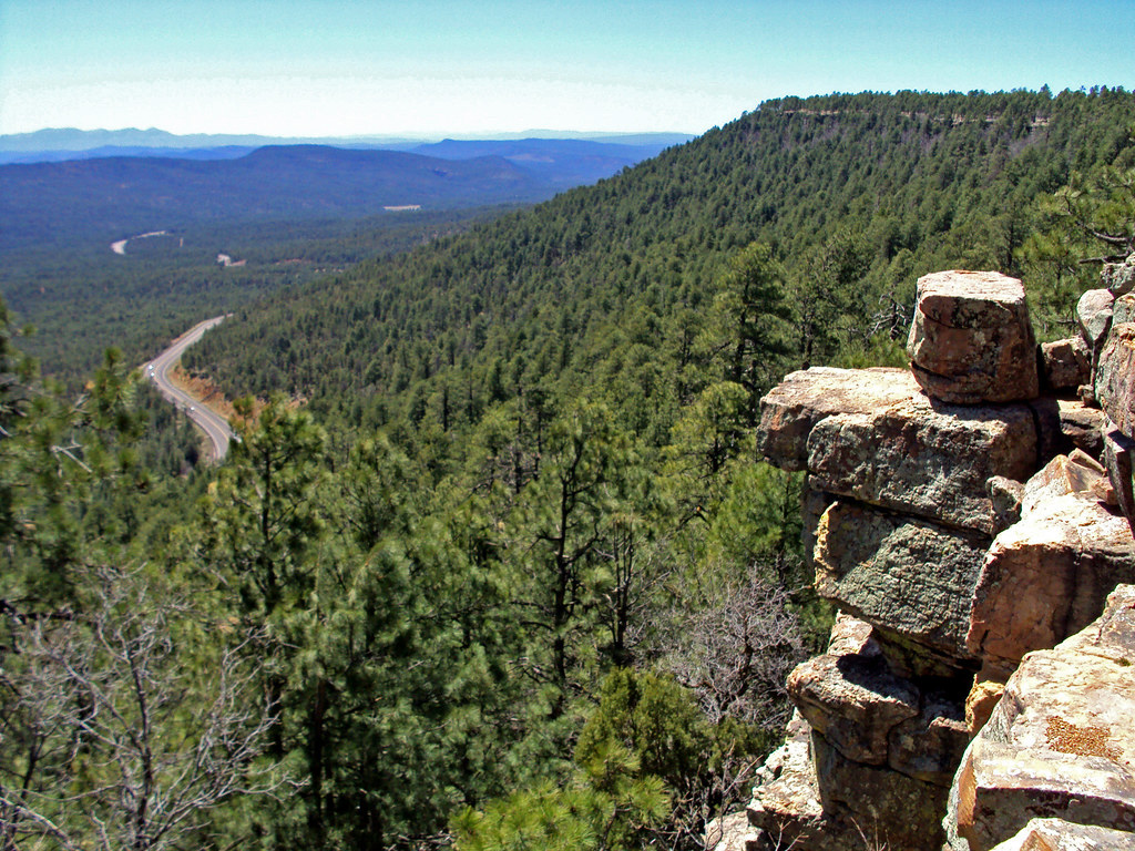
Mogollon Rim
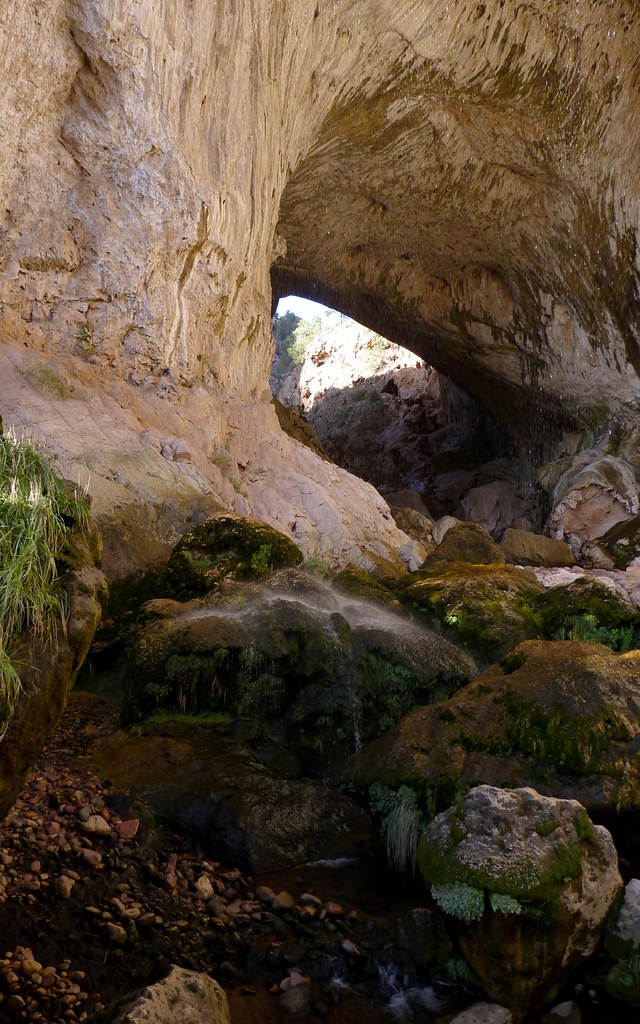
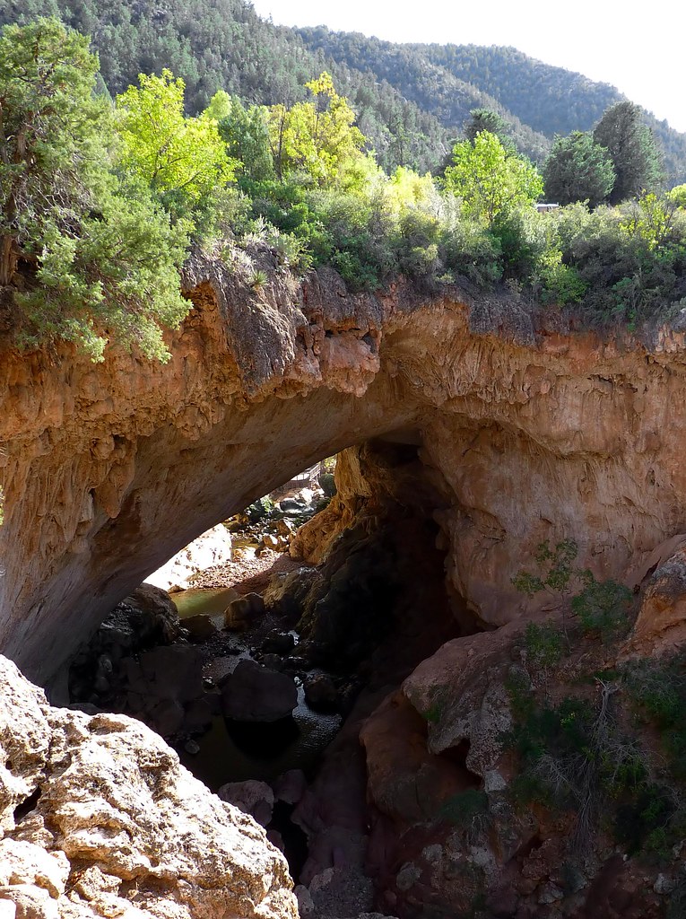
tonto natural bridge (6)

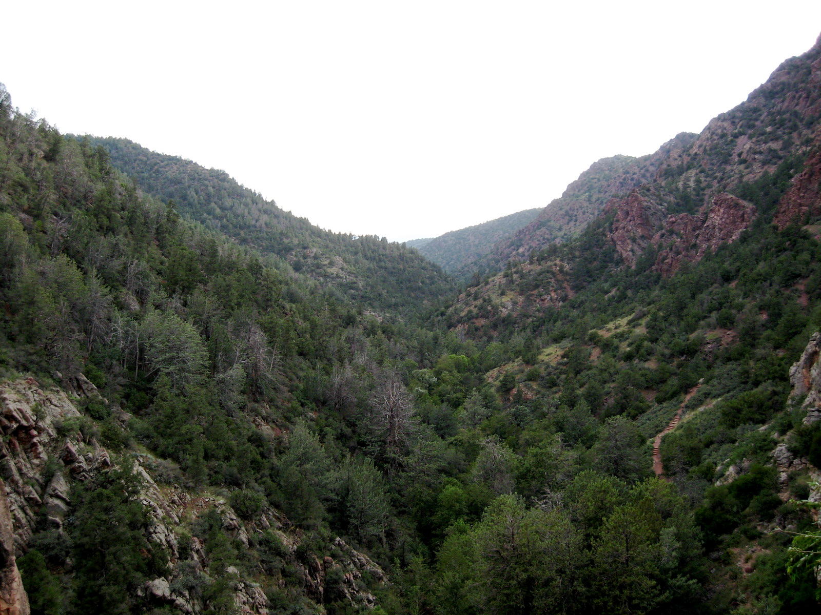
view near tonto natural bridge 03
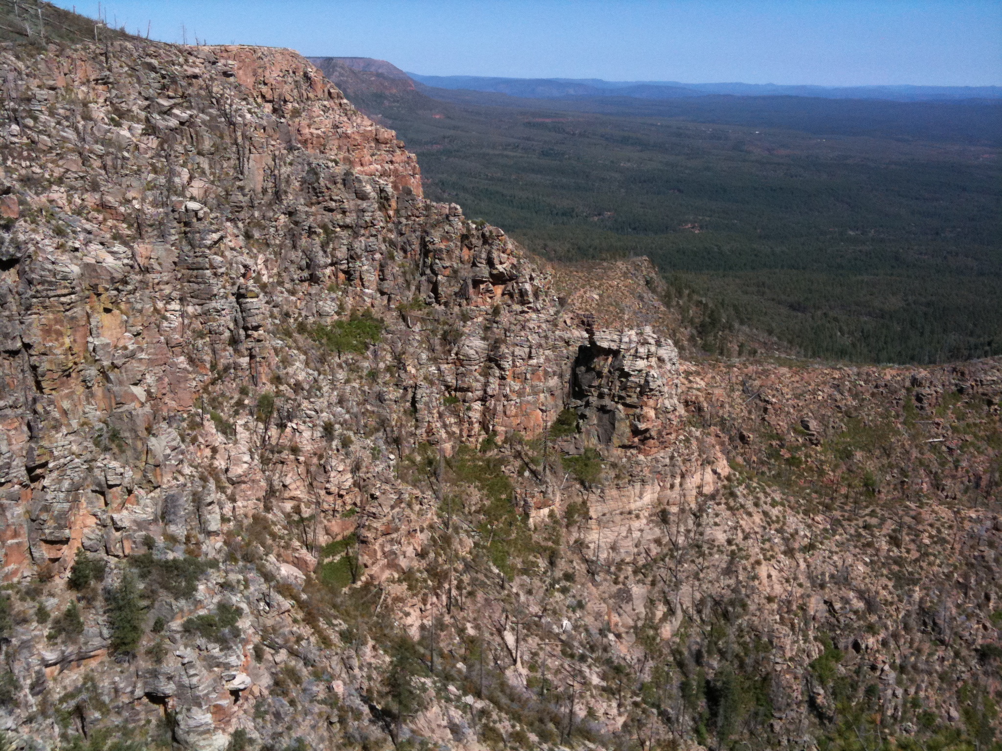
View from the Rim
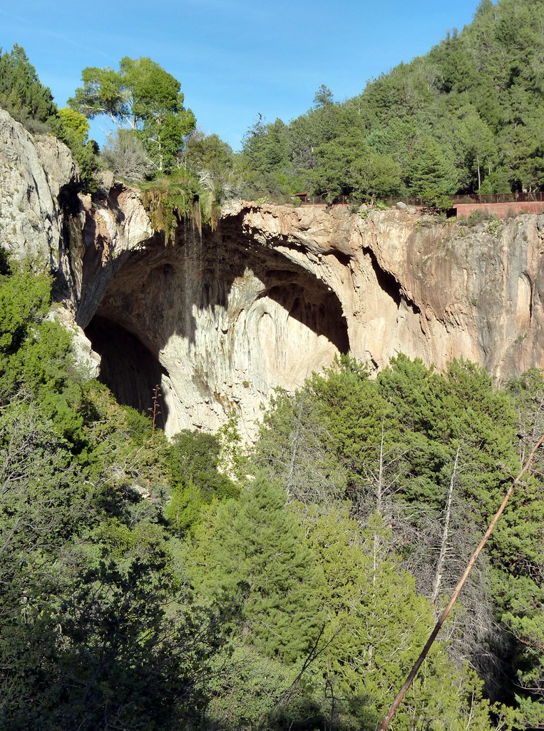
tonto natural bridge (27)
tonto natural bridge (34)

Tonto Natural Bridge State Park
View from Tonto Natural Bridge, Arizona

view near tonto natural bridge 02
Granite Dells Biking
tonto natural bridge (3)
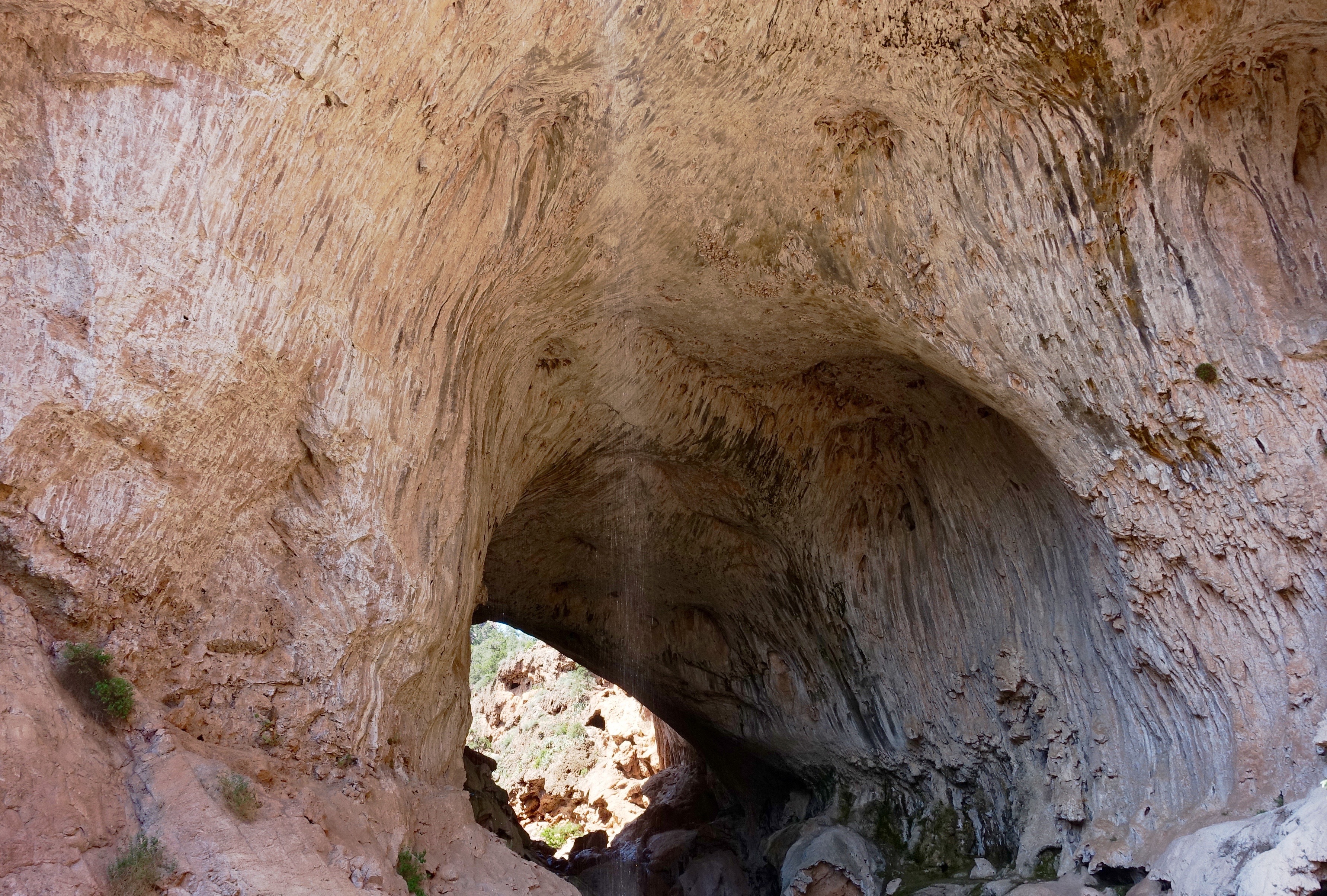
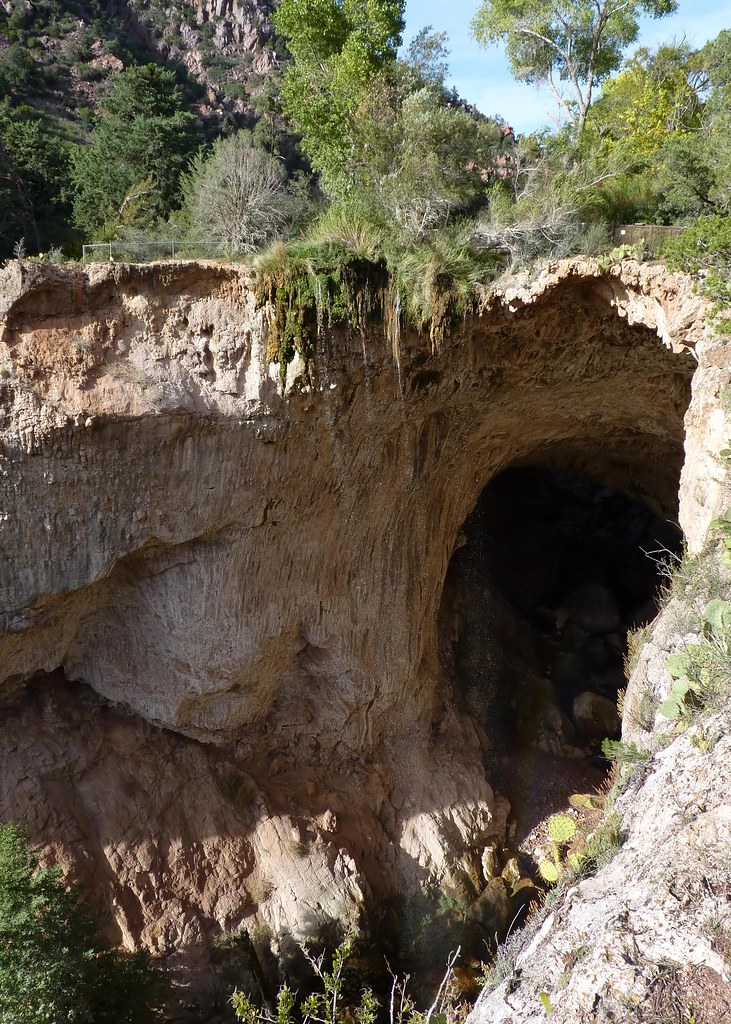
45. A landscape view through the opening under the Tonto Natural Bridge through to the other side

view near tonto natural bridge 04

view near tonto natural bridge 04

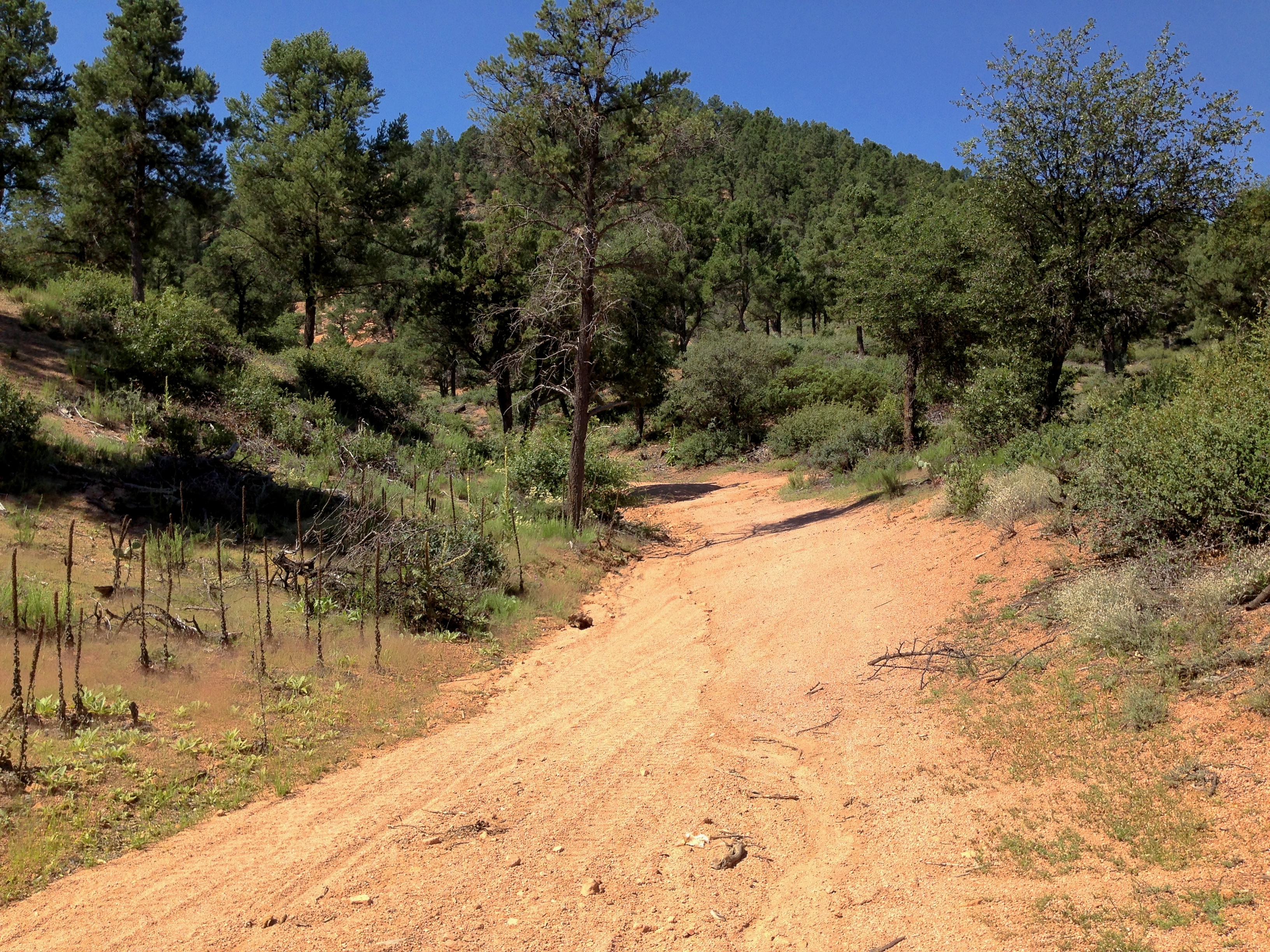
Walk way views

Walk way views
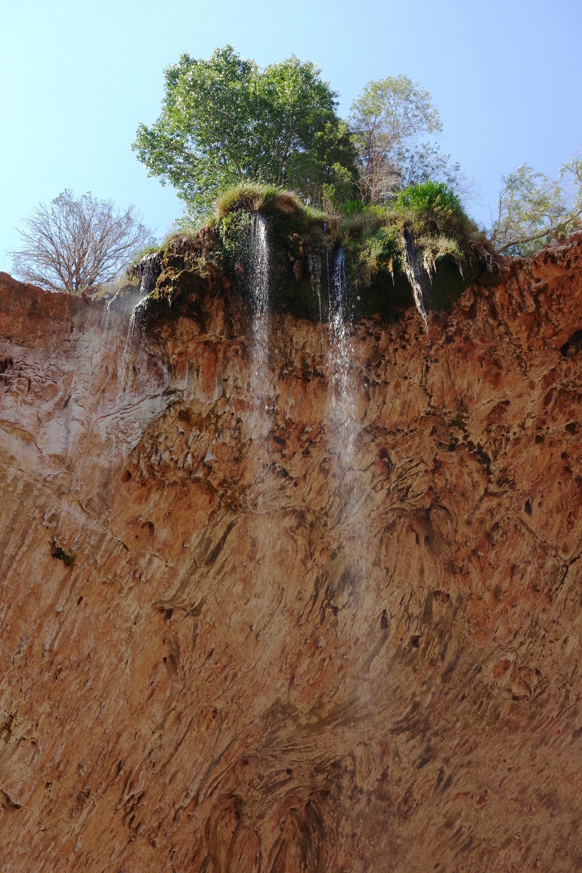
44. Zoomed in view of waterfall descending from the Tonto Natural Bridge
Topographic Map of Payson, AZ, USA
Find elevation by address:

Places in Payson, AZ, USA:
Mazatzal Peak
Deercreek Dr, Payson, AZ, USA
Kohl's Ranch Lodge Rd, Payson, AZ, USA
E Raccoon Dr, Payson, AZ, USA
Christopher Creek Loop, Payson, AZ, USA
Rim Road
West Gibson Ranch Road
Beaver Flat Rd, Payson, AZ, USA
Stallion Rd, Payson, AZ, USA
Oxbow Trail, Payson, AZ, USA
Woods Canyon Lake
Squirrel Run
Bear Canyon Lake
Houston Mesa Road
River Road
Forest Service Road
Tonto Creek Drive East
Deercreek Drive
Mogollon Rim
Morris Road
Beaver Valley Estates
Mesa Del Caballo
Tonto Village
Pumphouse Road
East Verde Estates Road
Wild Cat Circle
North Peak
East Rim Club Drive
East Ranch Road
Places near Payson, AZ, USA:
308 W Frontier St
205 E Phoenix St
410 S Tonto St
Days Inn & Suites By Wyndham Payson
301 S Beeline Hwy Ste A
206 S Beeline Hwy
Mazatzal Hotel & Casino
400 N Maranatha Rd
1100 N Gila Dr
225 S Thunder Mountain
West Gibson Ranch Road
1500 N Alpine Heights Dr
1429 N Alpine Heights Dr
2100 E Feather Plume Ln
782 W Colt Ln
2609 W Bulla Dr
2609 W Bulla Dr
East Rim Club Drive
7674 W Gibson Ranch Rd
Oxbow Trail, Payson, AZ, USA
Recent Searches:
- Elevation of Corso Fratelli Cairoli, 35, Macerata MC, Italy
- Elevation of Tallevast Rd, Sarasota, FL, USA
- Elevation of 4th St E, Sonoma, CA, USA
- Elevation of Black Hollow Rd, Pennsdale, PA, USA
- Elevation of Oakland Ave, Williamsport, PA, USA
- Elevation of Pedrógão Grande, Portugal
- Elevation of Klee Dr, Martinsburg, WV, USA
- Elevation of Via Roma, Pieranica CR, Italy
- Elevation of Tavkvetili Mountain, Georgia
- Elevation of Hartfords Bluff Cir, Mt Pleasant, SC, USA