Elevation map of Gila County, AZ, USA
Location: United States > Arizona >
Longitude: -110.52154
Latitude: 33.6370567
Elevation: 1424m / 4672feet
Barometric Pressure: 85KPa
Elevation Map:
Satellite Map:
Related Photos:
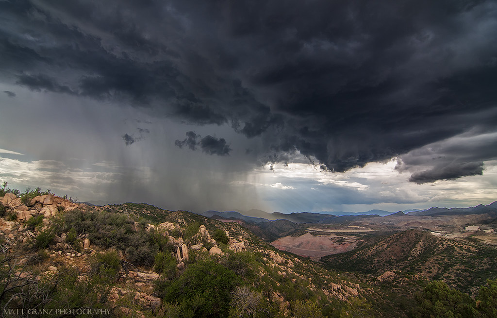
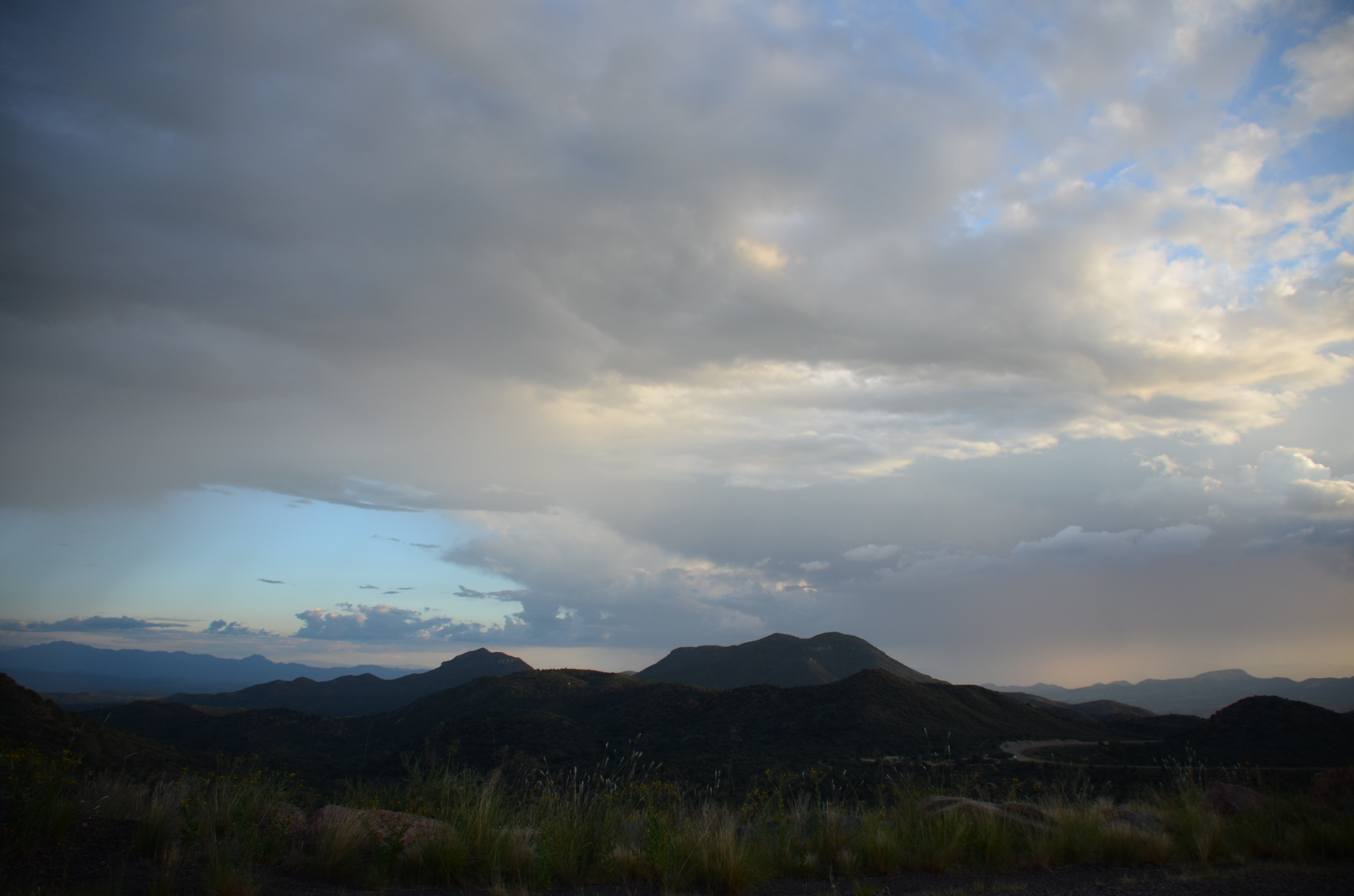
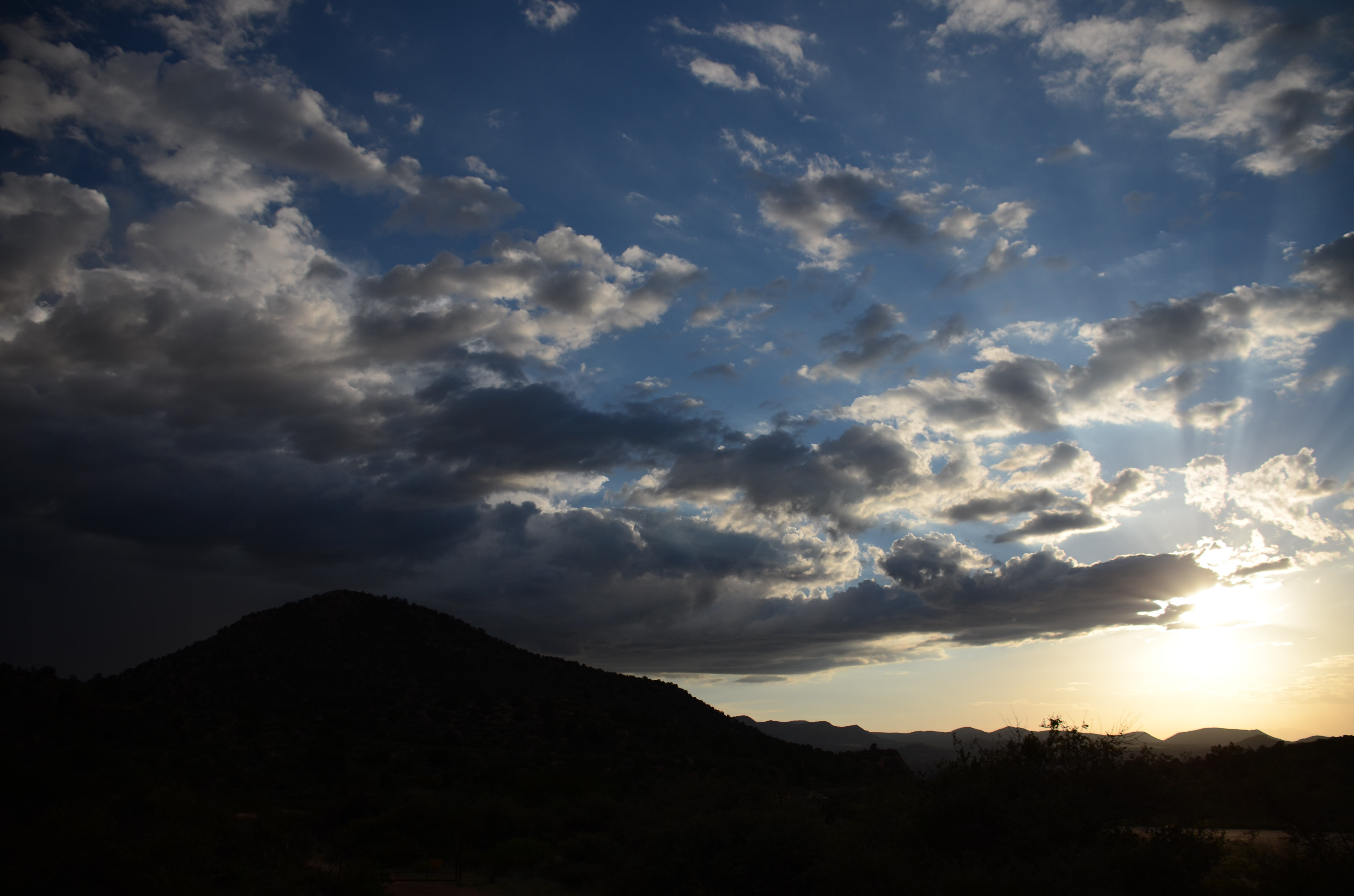
Black Clouds over Arizona

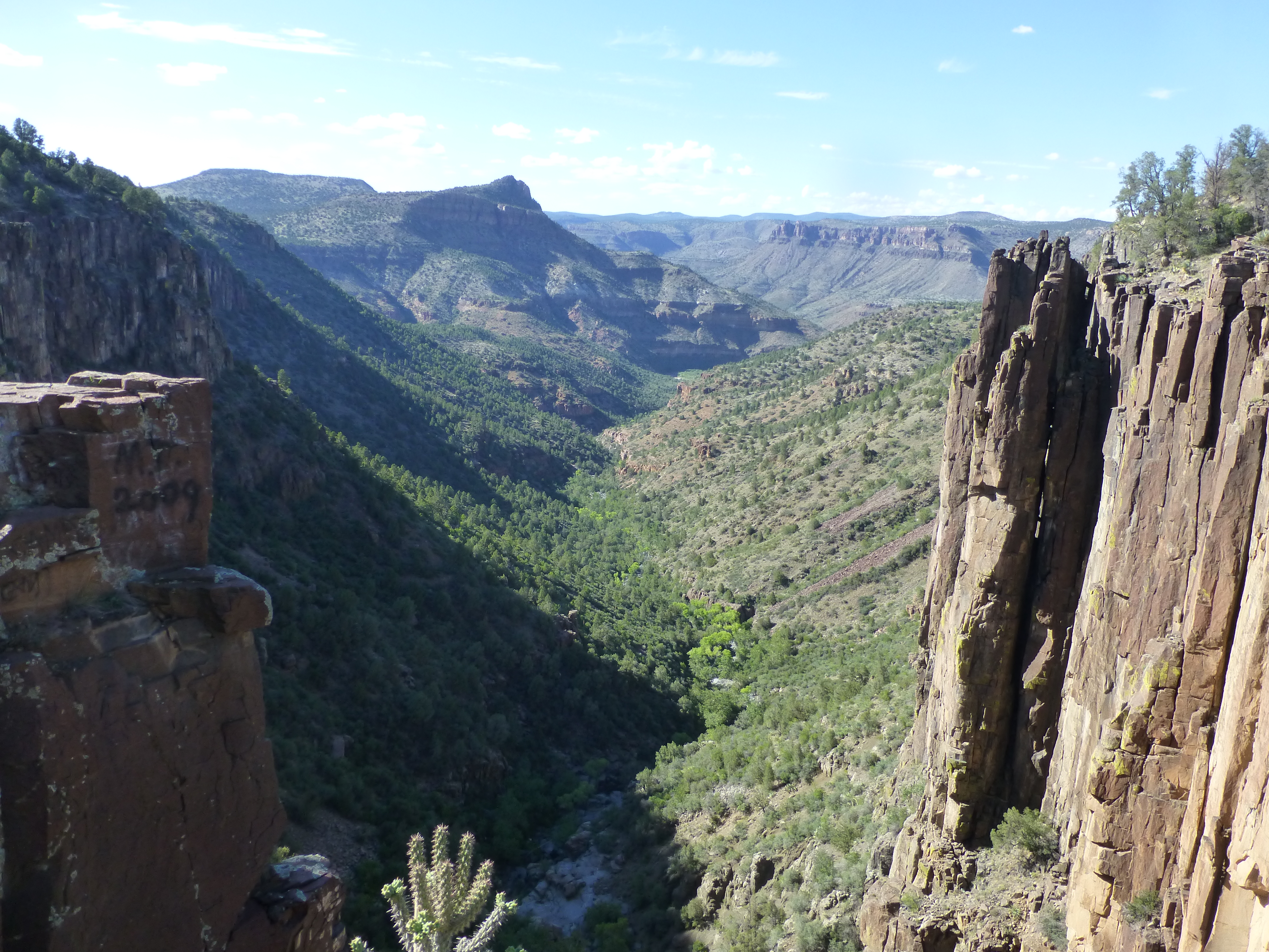
Salt River Canyon
Twists and Turns

Arizona 385
Arizona 401
Arizona 388
Arizona 406
Arizona 383
Arizona 402

Arizona 397

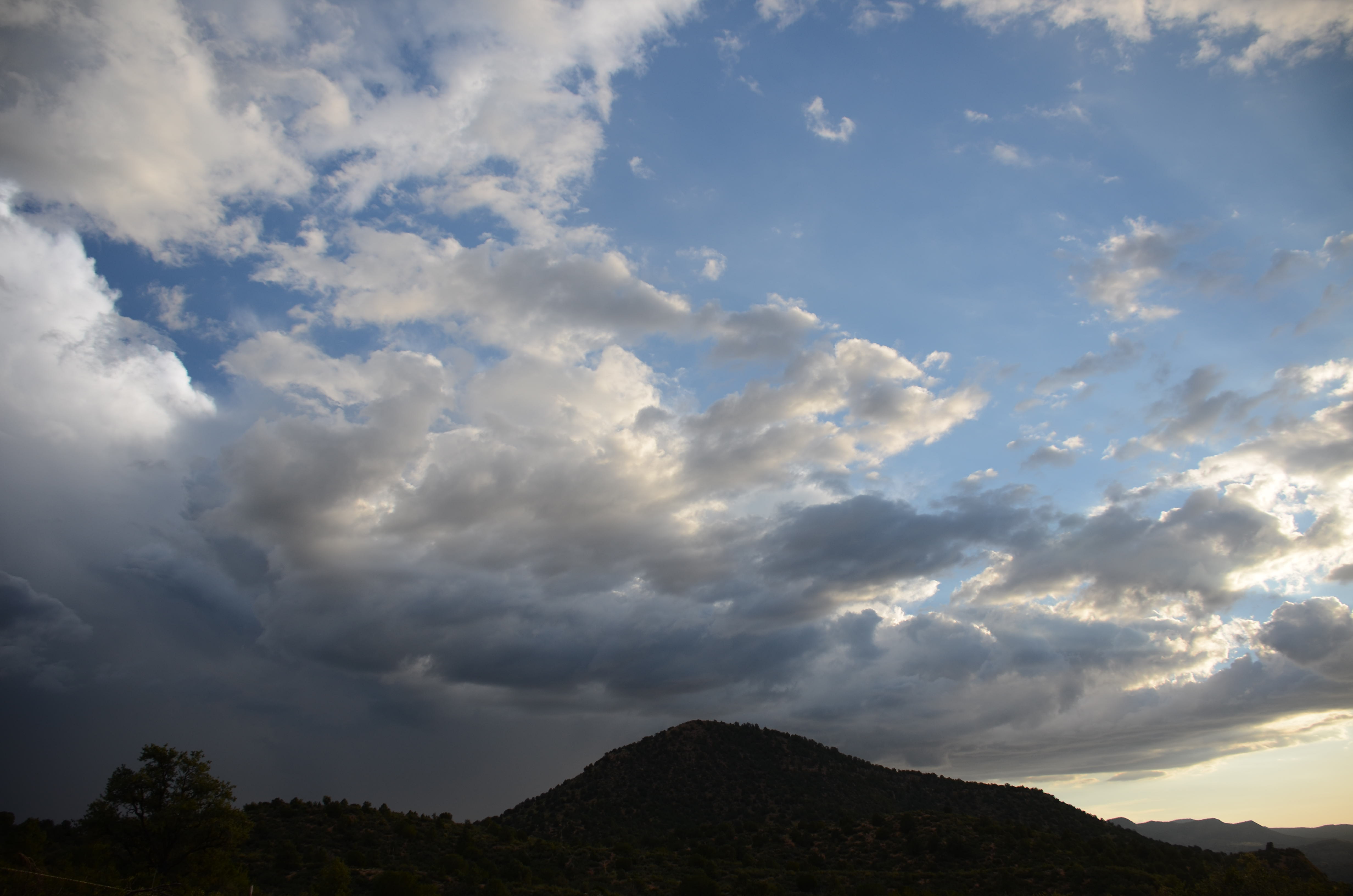
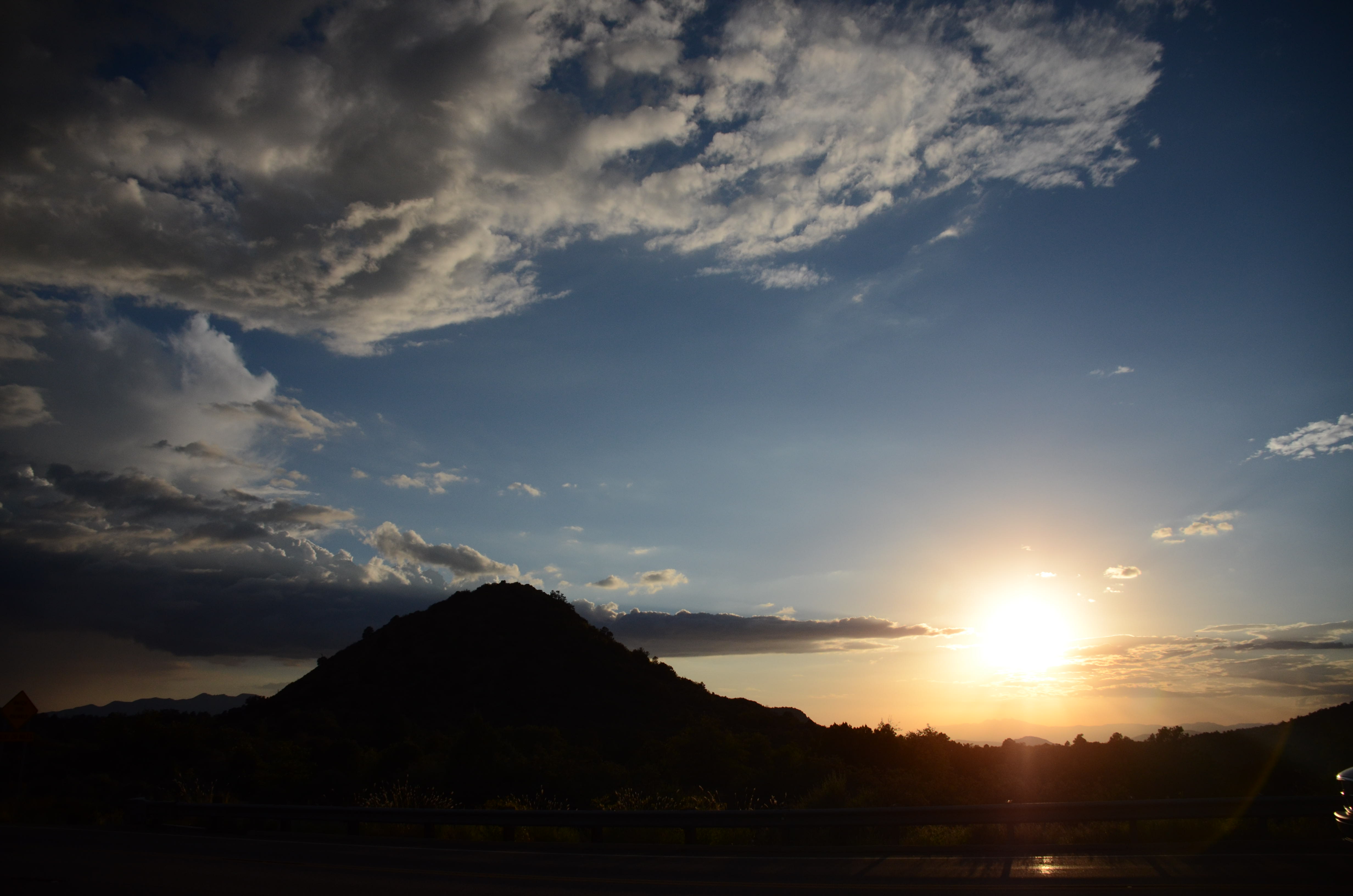
Arizona Sunset...
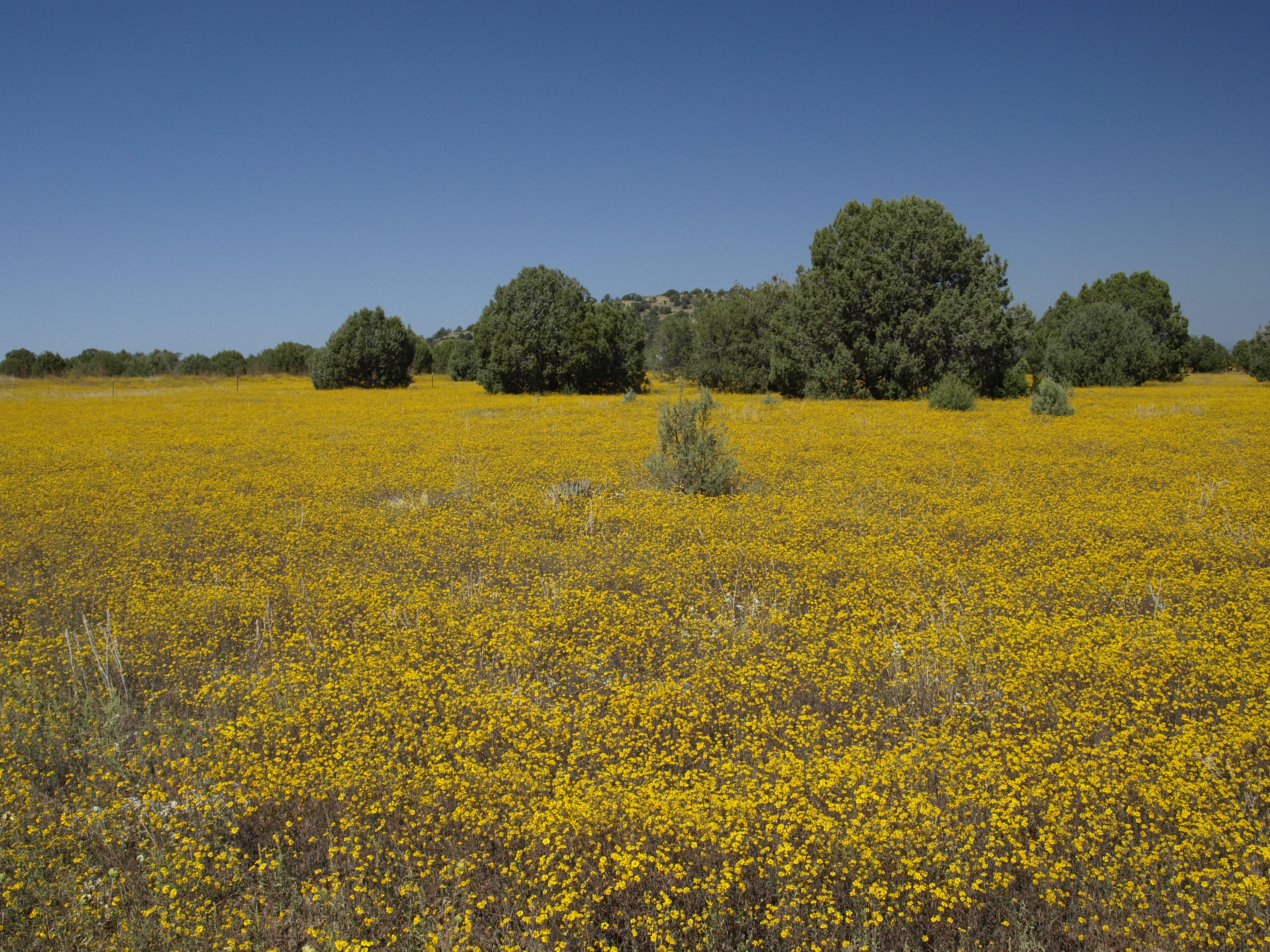
Roadside flowers, south of the Salt River Canyon

Roadside flowers, south of the Salt River Canyon
Arizona 395
US - 60 Arizona 2011 199
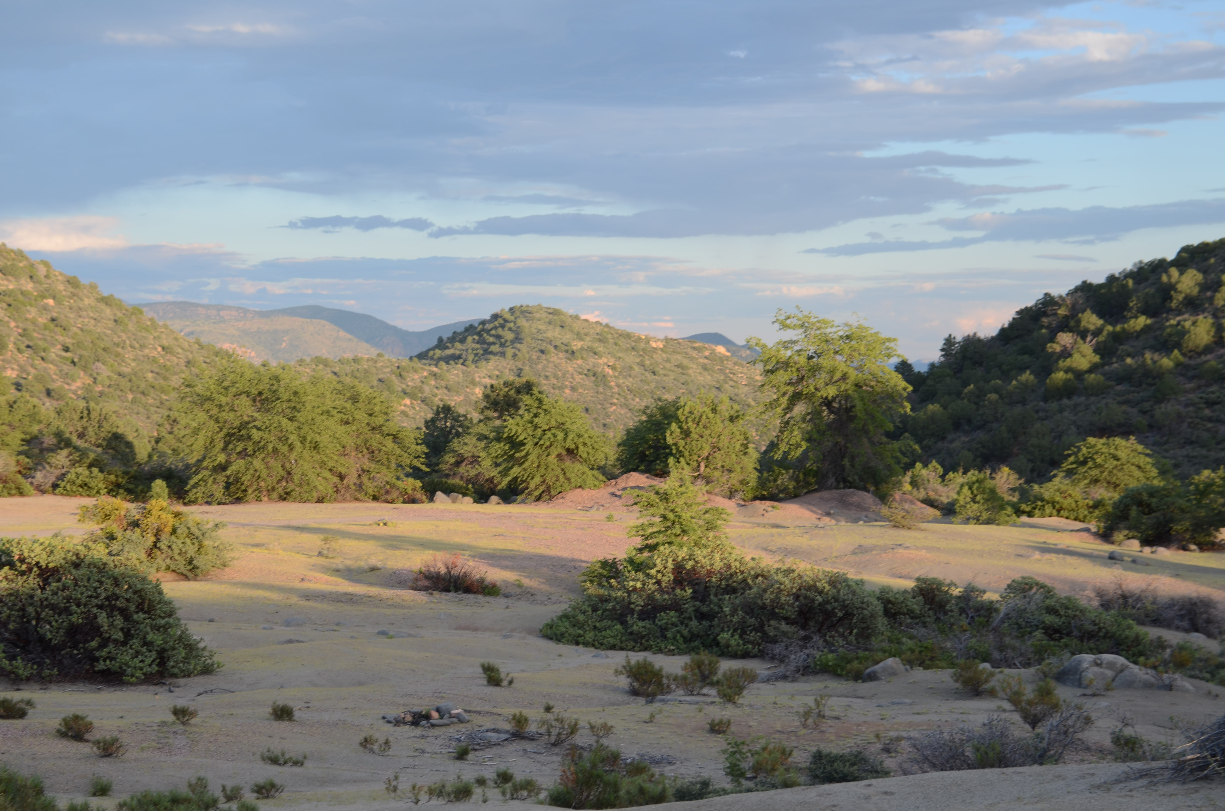
At the Head of Mule Hoof Canyon San Carlos Apache Reservation, AZ
Arizona 386
Topographic Map of Gila County, AZ, USA
Find elevation by address:

Places in Gila County, AZ, USA:
Payson
Globe
Roosevelt
Miami
Tonto Basin
Star Valley
Young
Central Heights-midland City
Hayden
Russell Rd, Globe, AZ, USA
Bellevue
Gisela
Strawberry
San Carlos
Carrizo
Thompson Draw Summer Homes Unit Two
Places near Gila County, AZ, USA:
San Carlos
3545 Copper Canyon Rd
E Monterey Dr, Globe, AZ, USA
1055 E Thornwood Dr
588 E Apache St
199 Haskins Rd
Globe
Besh-ba-gowah Museum
357 Alpine Rd
357 Alpine Rd
357 Alpine St
680 Snell St
Central Heights-midland City
7339 Alamo Way
9364 6 Shooter Canyon Rd
North Hospital Drive
N Hospital Dr, Globe, AZ, USA
Russell Rd, Globe, AZ, USA
Russell Rd, Globe, AZ, USA
Broadway St, Miami, AZ, USA
Recent Searches:
- Elevation of Corso Fratelli Cairoli, 35, Macerata MC, Italy
- Elevation of Tallevast Rd, Sarasota, FL, USA
- Elevation of 4th St E, Sonoma, CA, USA
- Elevation of Black Hollow Rd, Pennsdale, PA, USA
- Elevation of Oakland Ave, Williamsport, PA, USA
- Elevation of Pedrógão Grande, Portugal
- Elevation of Klee Dr, Martinsburg, WV, USA
- Elevation of Via Roma, Pieranica CR, Italy
- Elevation of Tavkvetili Mountain, Georgia
- Elevation of Hartfords Bluff Cir, Mt Pleasant, SC, USA