Elevation of Star Valley, AZ, USA
Location: United States > Arizona > Gila County >
Longitude: -111.25846
Latitude: 34.2550351
Elevation: 1417m / 4649feet
Barometric Pressure: 85KPa
Elevation Map:
Satellite Map:
Related Photos:
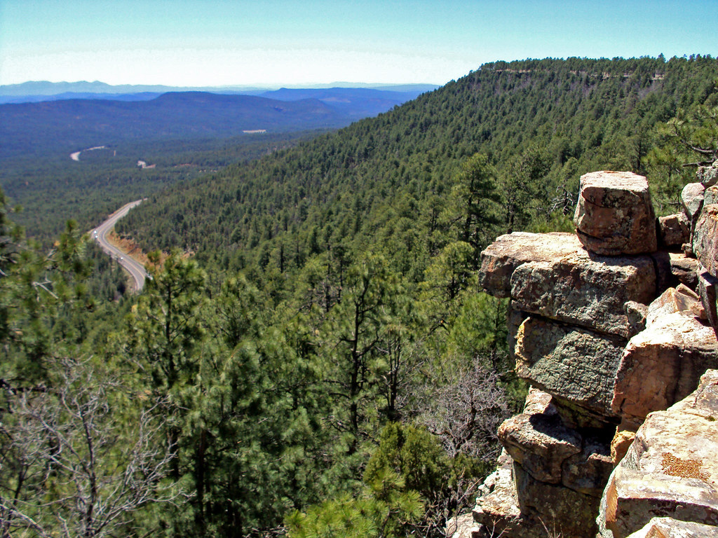
Mogollon Rim
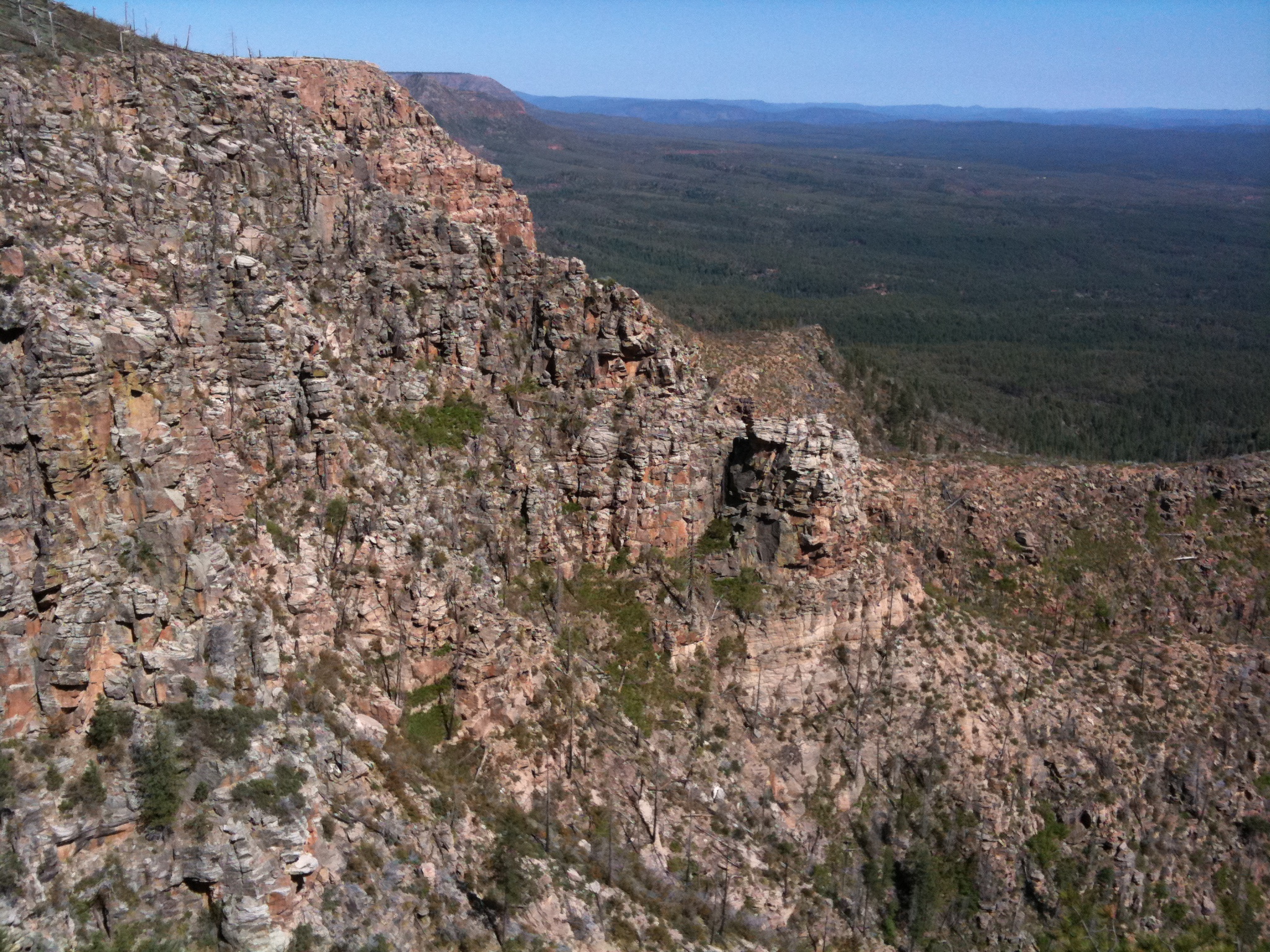
View from the Rim
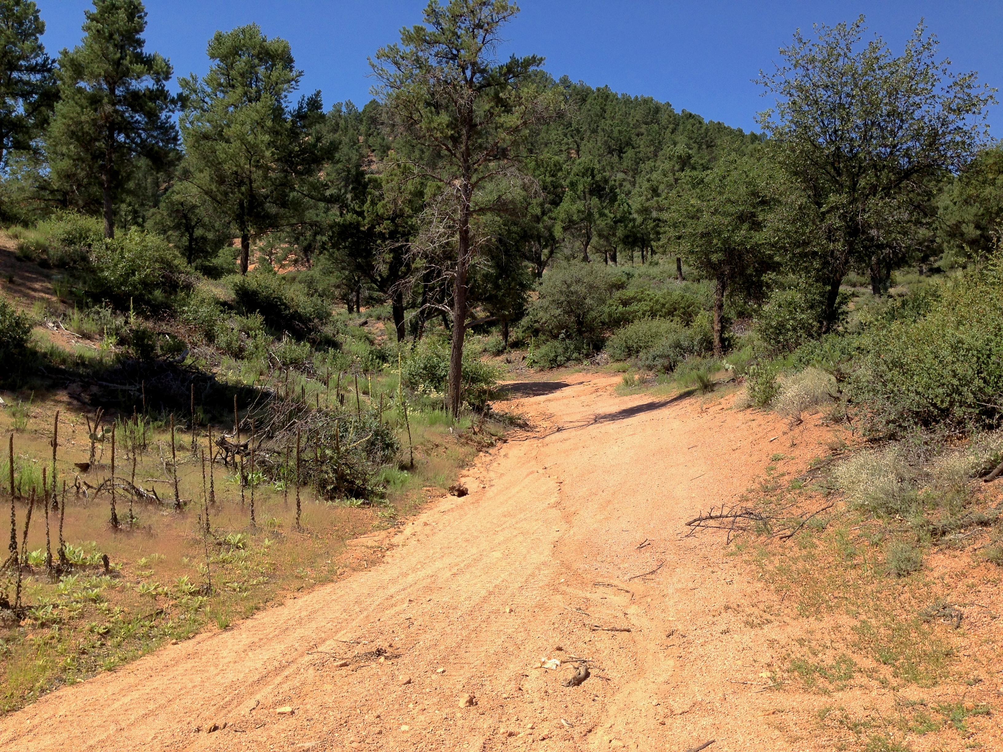
Granite Dells Biking
Topographic Map of Star Valley, AZ, USA
Find elevation by address:

Places in Star Valley, AZ, USA:
Places near Star Valley, AZ, USA:
East Buckskin Lane
3012 E Thunder Point
402 S Rainbow Ridge
2902 E Lions Pocket
East Rim Club Drive
2100 E Feather Plume Ln
Morris Road
225 S Thunder Mountain
1429 N Alpine Heights Dr
1500 N Alpine Heights Dr
400 N Maranatha Rd
1100 N Gila Dr
301 S Beeline Hwy Ste A
Days Inn & Suites By Wyndham Payson
206 S Beeline Hwy
Payson
410 S Tonto St
308 W Frontier St
7674 W Gibson Ranch Rd
205 E Phoenix St
Recent Searches:
- Elevation of Corso Fratelli Cairoli, 35, Macerata MC, Italy
- Elevation of Tallevast Rd, Sarasota, FL, USA
- Elevation of 4th St E, Sonoma, CA, USA
- Elevation of Black Hollow Rd, Pennsdale, PA, USA
- Elevation of Oakland Ave, Williamsport, PA, USA
- Elevation of Pedrógão Grande, Portugal
- Elevation of Klee Dr, Martinsburg, WV, USA
- Elevation of Via Roma, Pieranica CR, Italy
- Elevation of Tavkvetili Mountain, Georgia
- Elevation of Hartfords Bluff Cir, Mt Pleasant, SC, USA