Elevation of Dawson, TX, USA
Location: United States > Texas > Navarro County >
Longitude: -96.7147127
Latitude: 31.8940478
Elevation: 148m / 486feet
Barometric Pressure: 0KPa
Related Photos:

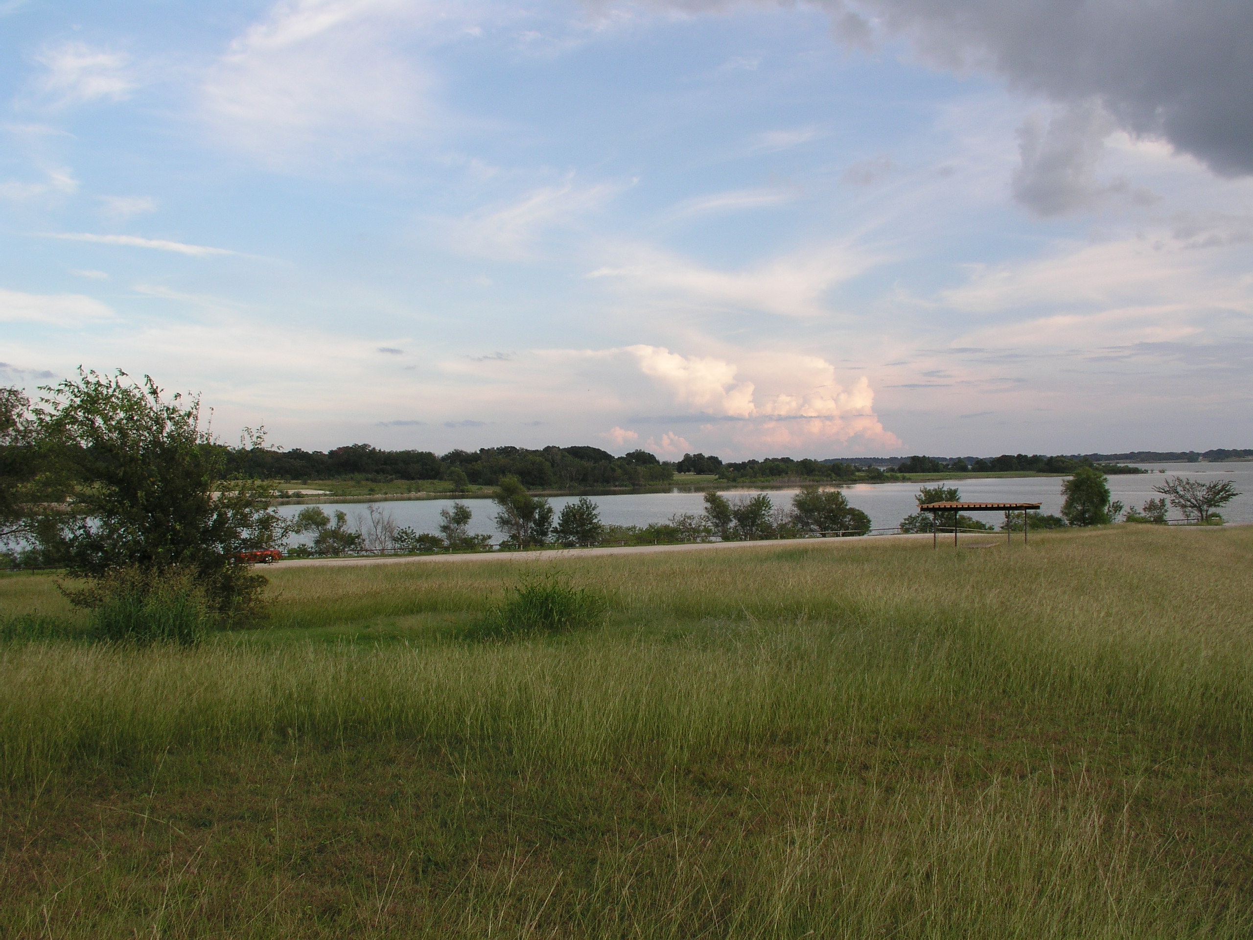
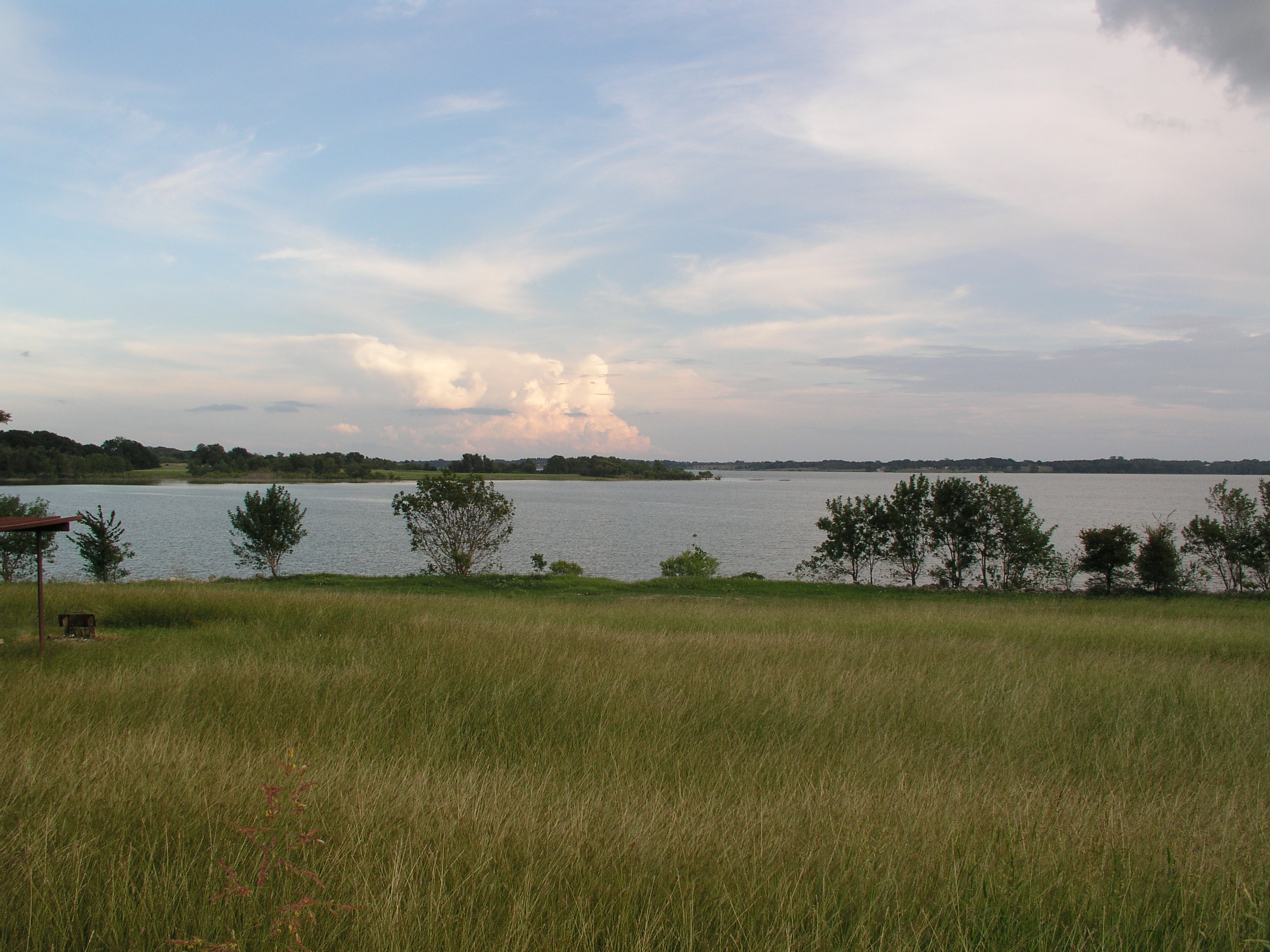
These spectacular views are the best of a long journey. Somewhere in the middle of Texas.
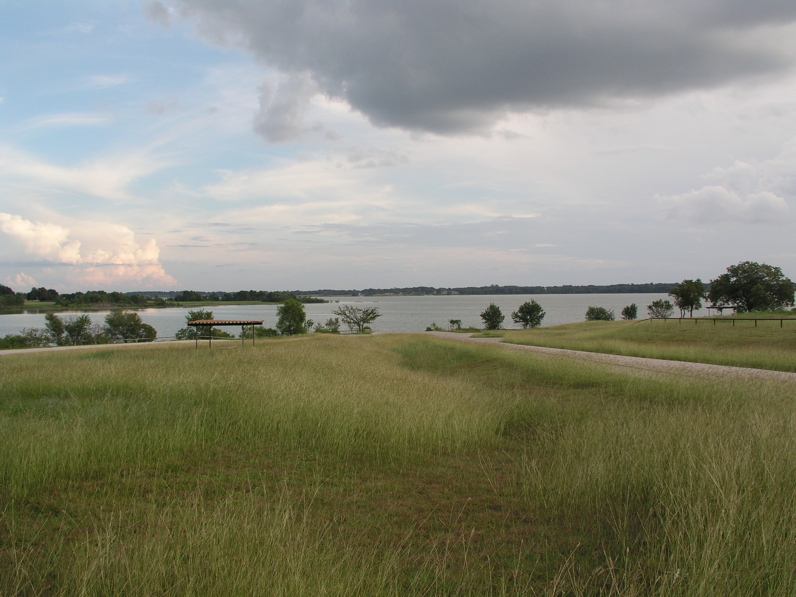
Navarro Mills Lake
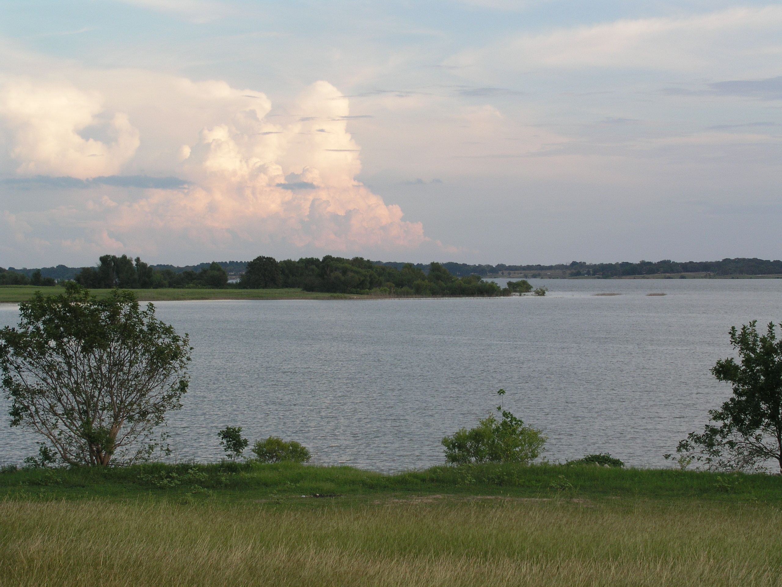
Navarro Mills Lake
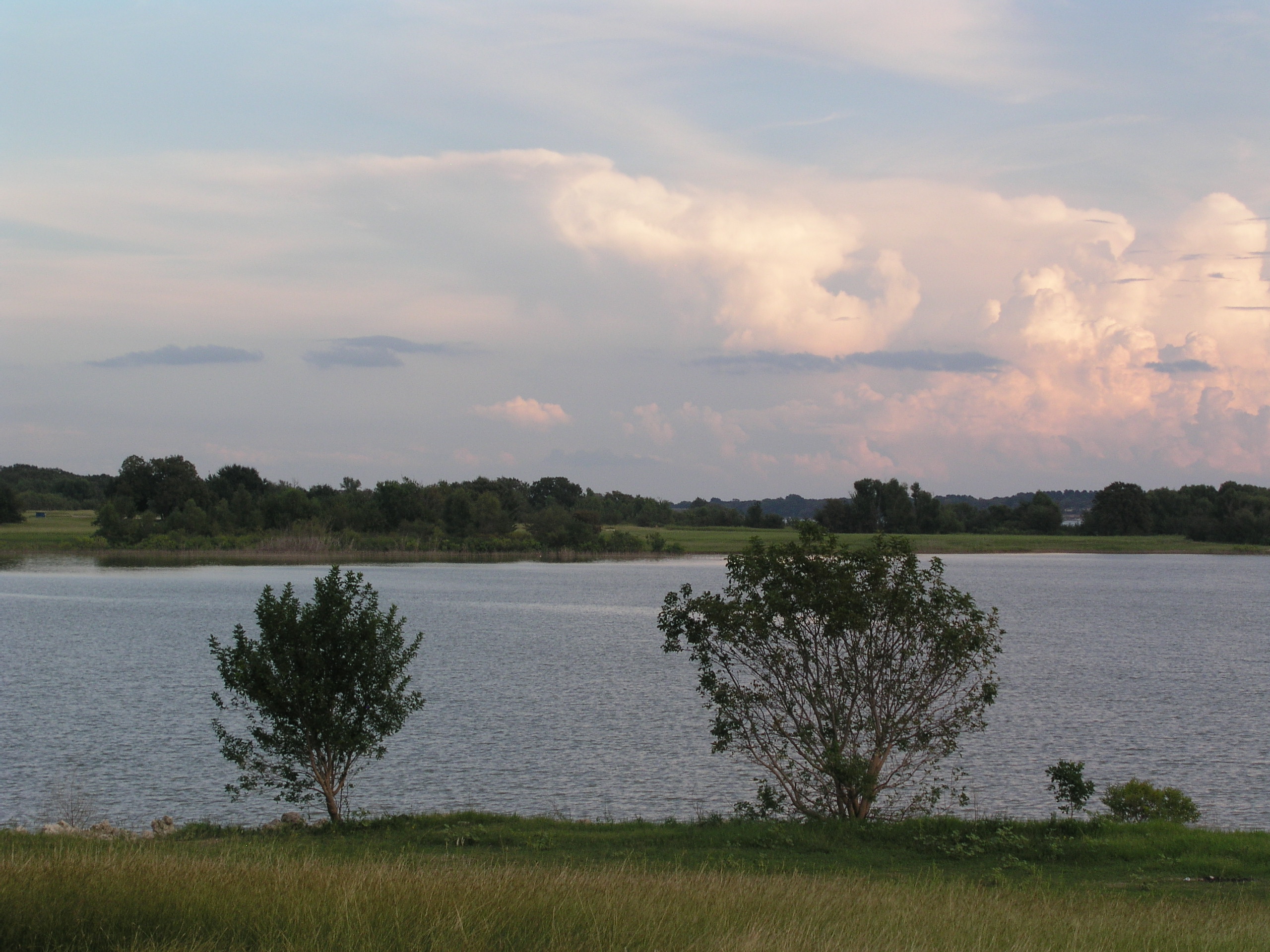
Navarro Mills Lake
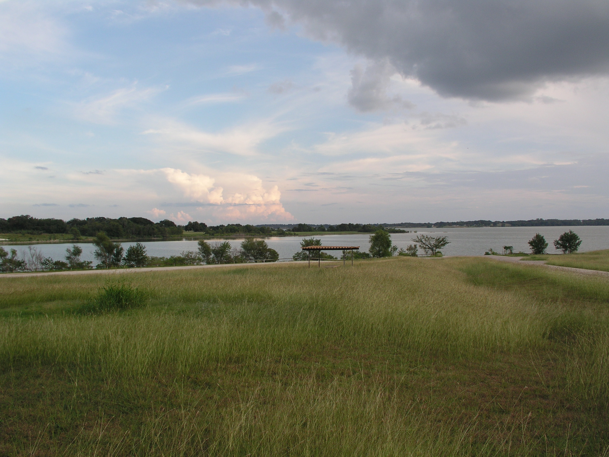
Navarro Mills Lake
Navarro Mills Lake
Navarro Mills Lake

Lake Navarro Mills 1.jpg

Navarro County Road
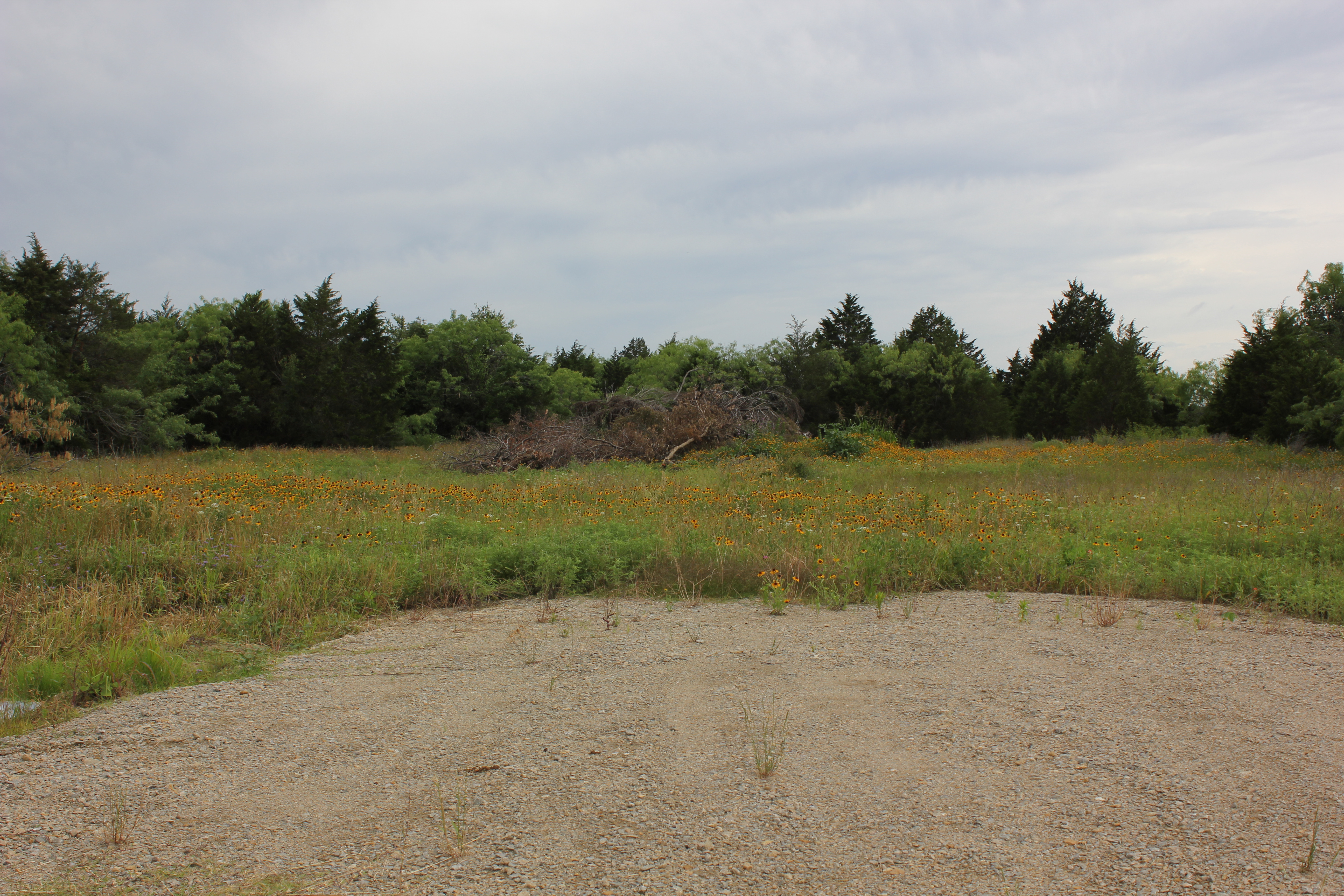
Navarro County
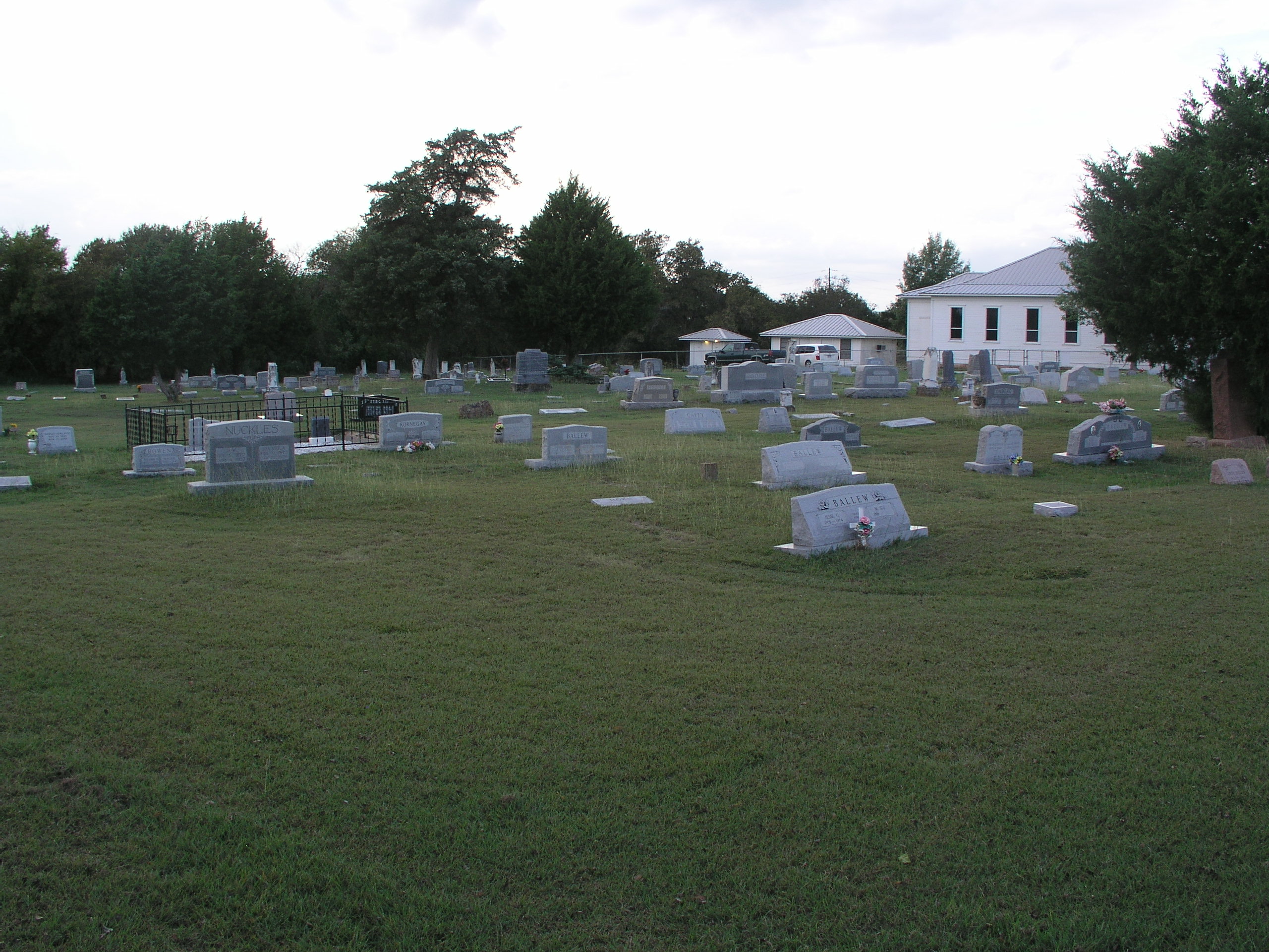
Prairie Grove Cemetery and Church
Topographic Map of Dawson, TX, USA
Find elevation by address:

Places in Dawson, TX, USA:
Places near Dawson, TX, USA:
N 1st St, Dawson, TX, USA
313 Fm 1838
16188 Tx-31
N Magnolia Ave, Hubbard, TX, USA
Hubbard
NW County Rd, Frost, TX, USA
S Kerr St, Barry, TX, USA
Coolidge
S Third St, Mertens, TX, USA
Blooming Grove
Frost
Allyn Ave, Mt Calm, TX, USA
Mount Calm
Penelope
FM 73, Prairie Hill, TX, USA
100 Wright St
Barry
10896 Fm 55
FM 55, Italy, TX, USA
2nd Ave, Mt Calm, TX, USA
Recent Searches:
- Elevation of 116, Beartown Road, Underhill, Chittenden County, Vermont, 05489, USA
- Elevation of Window Rock, Colfax County, New Mexico, 87714, USA
- Elevation of 4807, Rosecroft Street, Kempsville Gardens, Virginia Beach, Virginia, 23464, USA
- Elevation map of Matawinie, Quebec, Canada
- Elevation of Sainte-Émélie-de-l'Énergie, Matawinie, Quebec, Canada
- Elevation of Rue du Pont, Sainte-Émélie-de-l'Énergie, Matawinie, Quebec, J0K2K0, Canada
- Elevation of 8, Rue de Bécancour, Blainville, Thérèse-De Blainville, Quebec, J7B1N2, Canada
- Elevation of Wilmot Court North, 163, University Avenue West, Northdale, Waterloo, Region of Waterloo, Ontario, N2L6B6, Canada
- Elevation map of Panamá Province, Panama
- Elevation of Balboa, Panamá Province, Panama
- Elevation of San Miguel, Balboa, Panamá Province, Panama
- Elevation of Isla Gibraleón, San Miguel, Balboa, Panamá Province, Panama
- Elevation of 4655, Krischke Road, Schulenburg, Fayette County, Texas, 78956, USA
- Elevation of Carnegie Avenue, Downtown Cleveland, Cleveland, Cuyahoga County, Ohio, 44115, USA
- Elevation of Walhonding, Coshocton County, Ohio, USA
- Elevation of Clifton Down, Clifton, Bristol, City of Bristol, England, BS8 3HU, United Kingdom
- Elevation map of Auvergne-Rhône-Alpes, France
- Elevation map of Upper Savoy, Auvergne-Rhône-Alpes, France
- Elevation of Chamonix-Mont-Blanc, Upper Savoy, Auvergne-Rhône-Alpes, France
- Elevation of 908, Northwood Drive, Bridge Field, Chesapeake, Virginia, 23322, USA