Elevation of FM, Dawson, TX, USA
Location: United States > Texas > Navarro County > Dawson >
Longitude: -96.704661
Latitude: 31.8660639
Elevation: 153m / 502feet
Barometric Pressure: 0KPa
Related Photos:

Milky Way over Lake
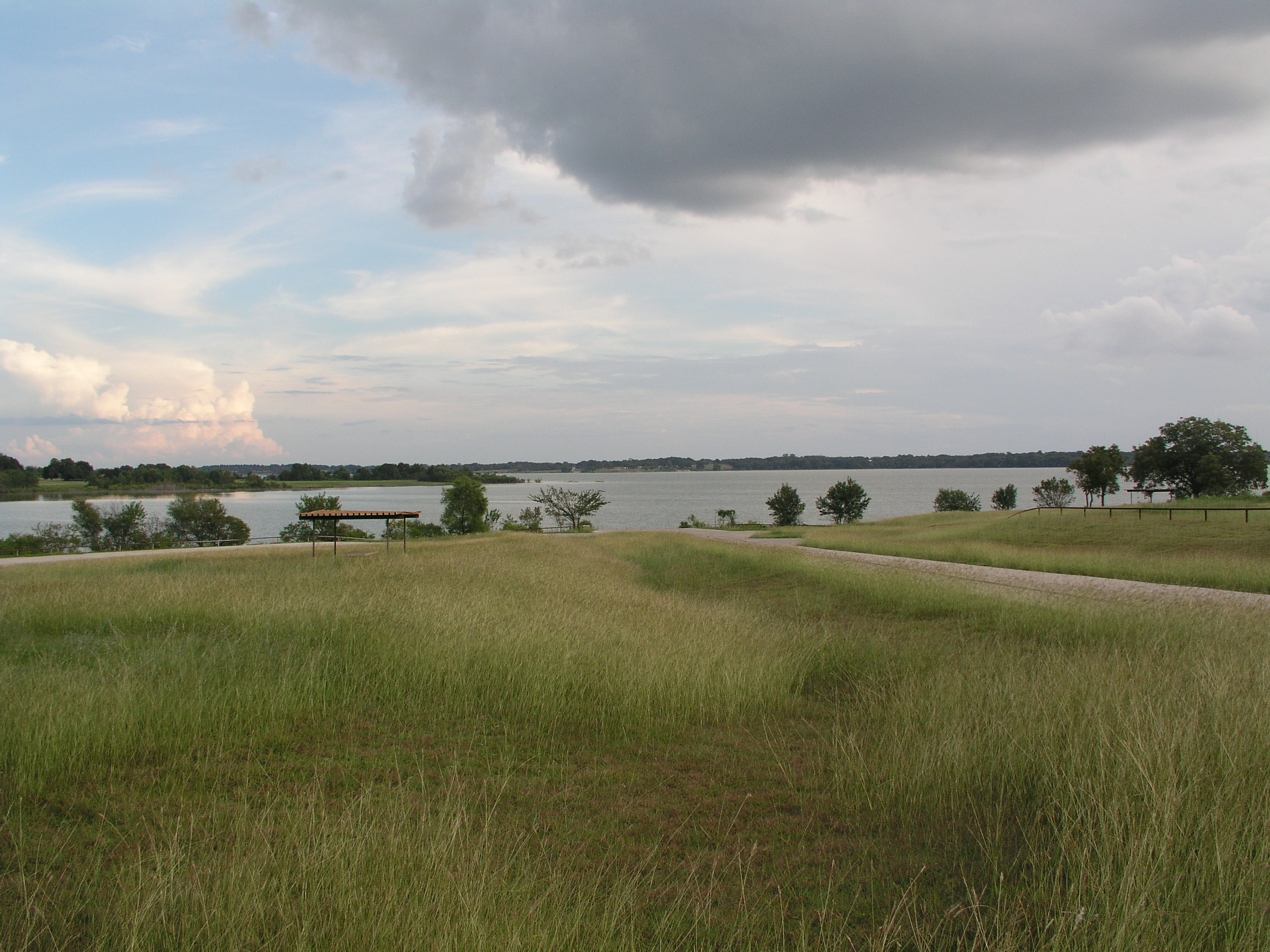
Navarro Mills Lake
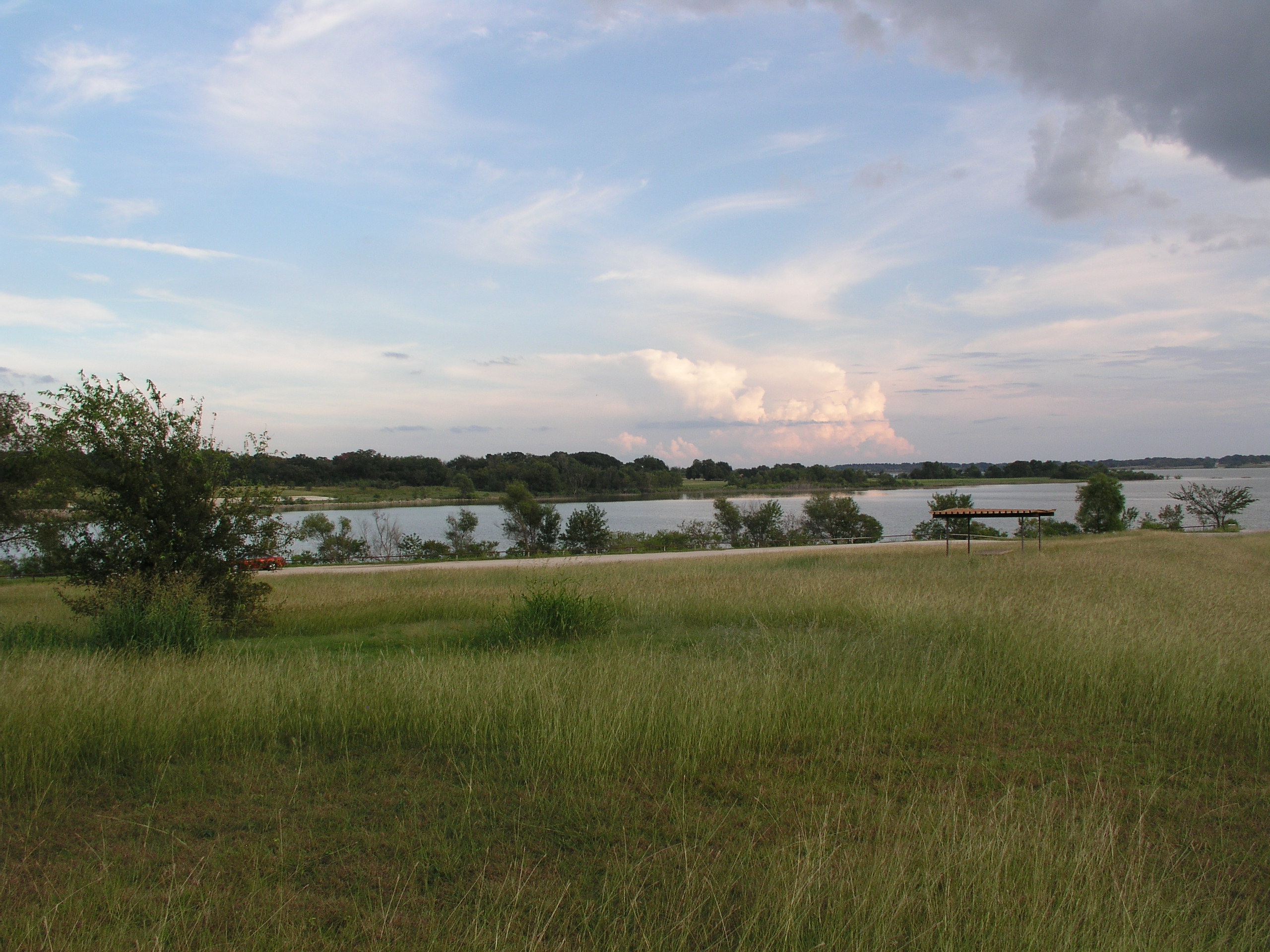
Navarro Mills Lake
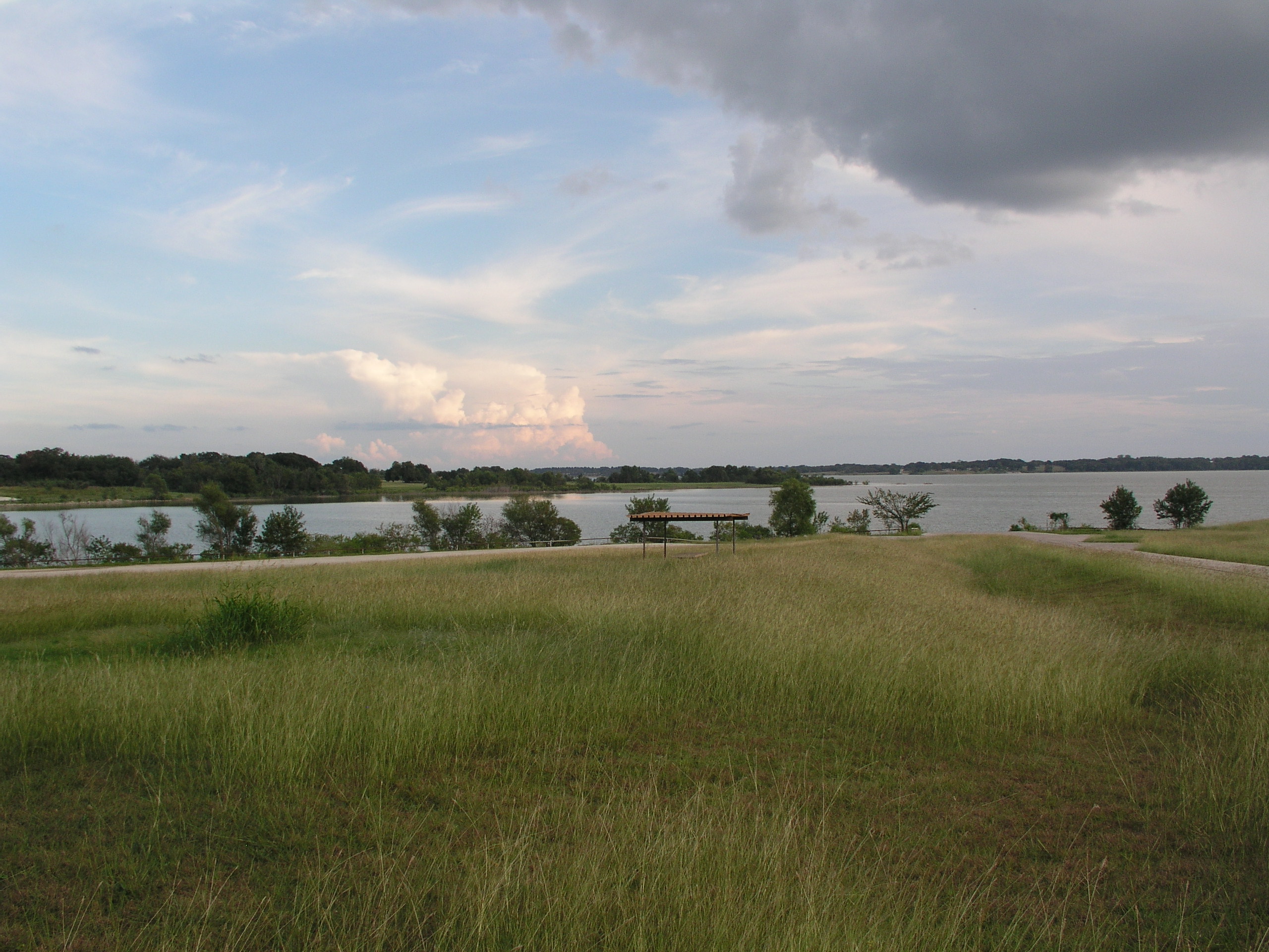
Navarro Mills Lake
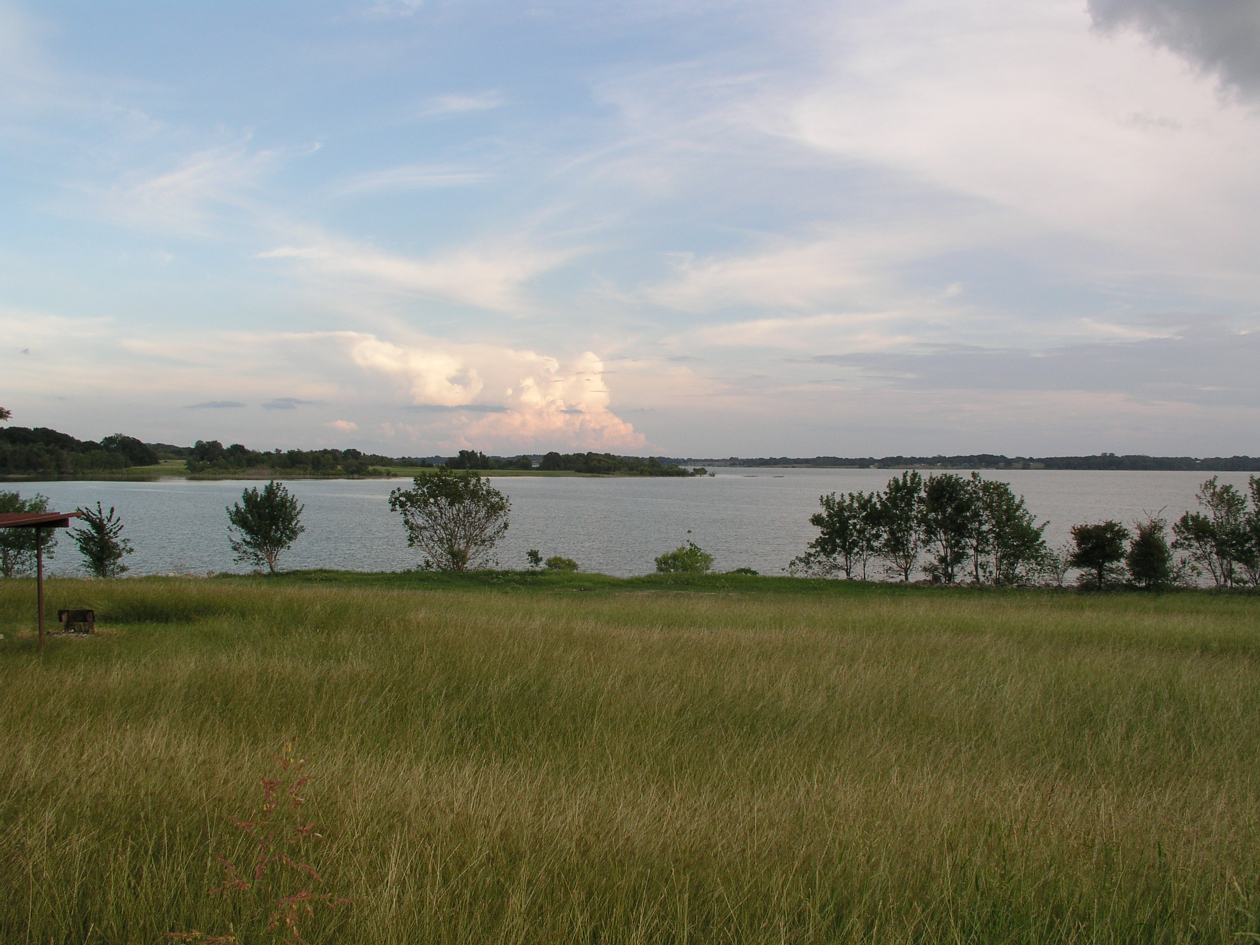
Navarro Mills Lake

Lake Navarro Mills 1.jpg

Navarro County Road
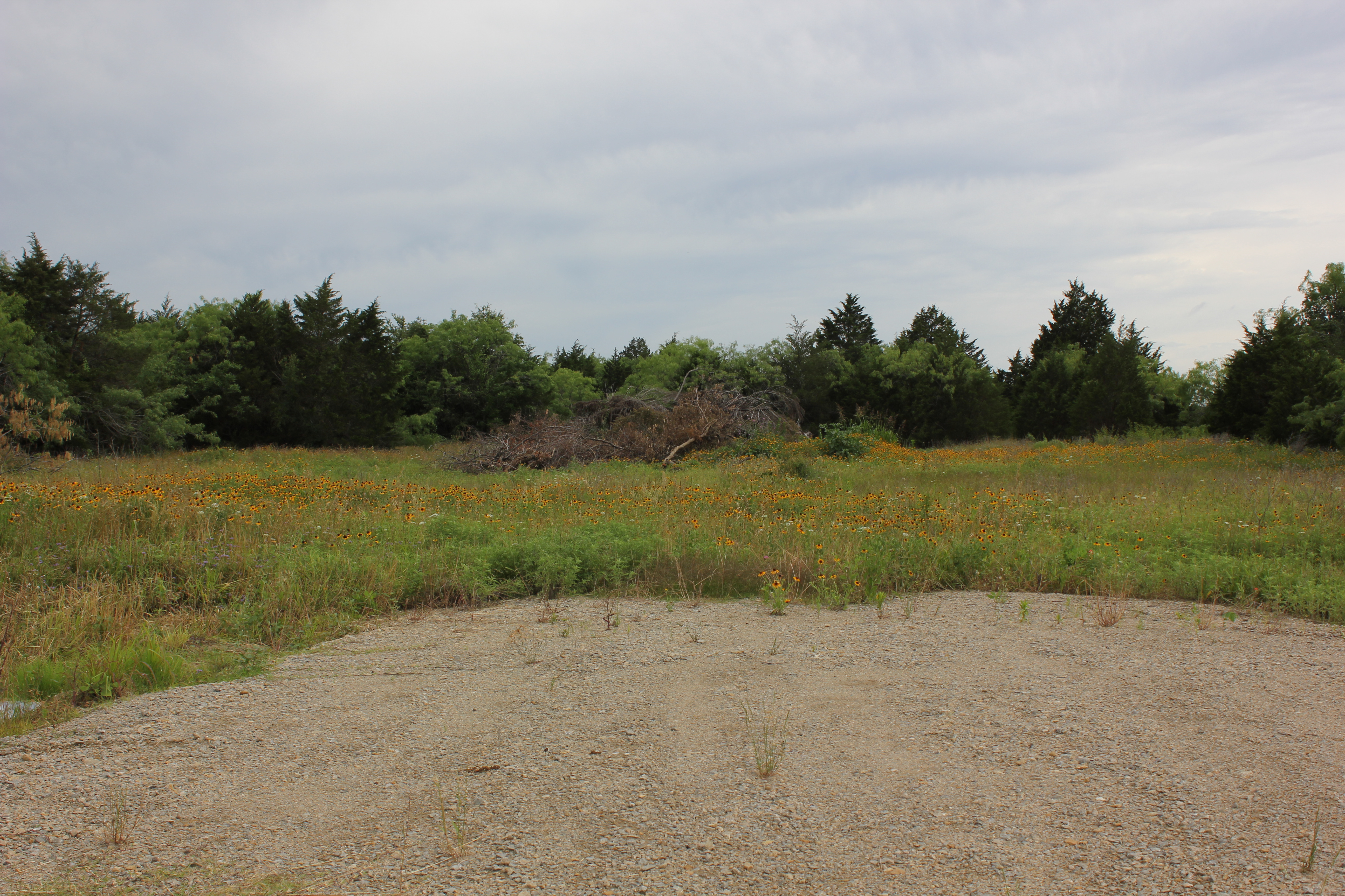
Navarro County
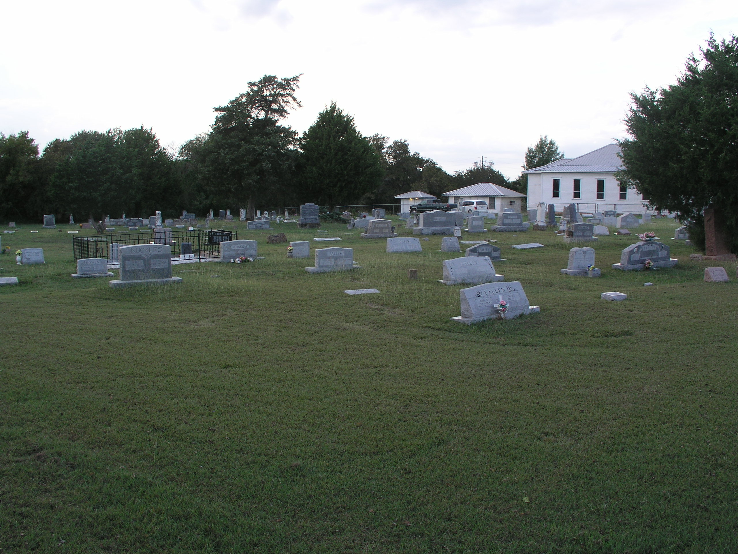
Prairie Grove Cemetery and Church
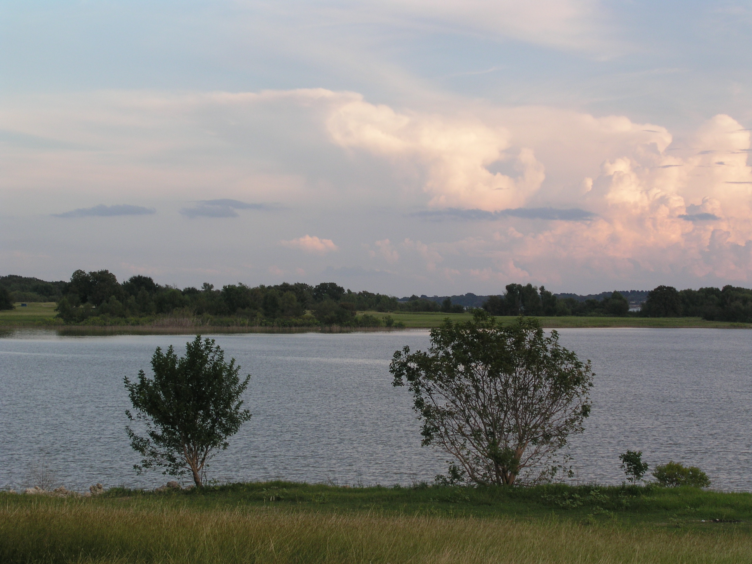
Navarro Mills Lake
Topographic Map of FM, Dawson, TX, USA
Find elevation by address:

Places near FM, Dawson, TX, USA:
Dawson
N 1st St, Dawson, TX, USA
16188 Tx-31
N Magnolia Ave, Hubbard, TX, USA
Hubbard
Coolidge
NW County Rd, Frost, TX, USA
S Kerr St, Barry, TX, USA
FM 73, Prairie Hill, TX, USA
Allyn Ave, Mt Calm, TX, USA
Mount Calm
S Third St, Mertens, TX, USA
Penelope
Blooming Grove
Frost
100 Wright St
Barry
Wortham
2nd Ave, Mt Calm, TX, USA
10896 Fm 55
Recent Searches:
- Elevation of 4655, Krischke Road, Schulenburg, Fayette County, Texas, 78956, USA
- Elevation of Carnegie Avenue, Downtown Cleveland, Cleveland, Cuyahoga County, Ohio, 44115, USA
- Elevation of Walhonding, Coshocton County, Ohio, USA
- Elevation of Clifton Down, Clifton, Bristol, City of Bristol, England, BS8 3HU, United Kingdom
- Elevation map of Auvergne-Rhône-Alpes, France
- Elevation map of Upper Savoy, Auvergne-Rhône-Alpes, France
- Elevation of Chamonix-Mont-Blanc, Upper Savoy, Auvergne-Rhône-Alpes, France
- Elevation of 908, Northwood Drive, Bridge Field, Chesapeake, Virginia, 23322, USA
- Elevation map of Nagano Prefecture, Japan
- Elevation of 587, Bascule Drive, Oakdale, Stanislaus County, California, 95361, USA
- Elevation of Stadion Wankdorf, Sempachstrasse, Breitfeld, Bern, Bern-Mittelland administrative district, Bern, 3014, Switzerland
- Elevation of Z024, 76, Emil-von-Behring-Straße, Marbach, Marburg, Landkreis Marburg-Biedenkopf, Hesse, 35041, Germany
- Elevation of Gaskill Road, Hunts Cross, Liverpool, England, L24 9PH, United Kingdom
- Elevation of Speke, Liverpool, England, L24 9HD, United Kingdom
- Elevation of Seqirus, 475, Green Oaks Parkway, Holly Springs, Wake County, North Carolina, 27540, USA
- Elevation of Pasing, Munich, Bavaria, 81241, Germany
- Elevation of 24, Auburn Bay Crescent SE, Auburn Bay, Calgary, Alberta, T3M 0A6, Canada
- Elevation of Denver, 2314, Arapahoe Street, Five Points, Denver, Colorado, 80205, USA
- Elevation of Community of the Beatitudes, 2924, West 43rd Avenue, Sunnyside, Denver, Colorado, 80211, USA
- Elevation map of Litang County, Sichuan, China