Elevation of FM 73, Prairie Hill, TX, USA
Location: United States > Texas > Limestone County >
Longitude: -96.743027
Latitude: 31.6794635
Elevation: 168m / 551feet
Barometric Pressure: 99KPa
Elevation Map:
Satellite Map:
Related Photos:

FURNITURE UNDERTAKER(!!) ghost sign -- taken with iPhone 5 in panorama mode

FURNITURE UNDERTAKER(!!) ghost sign
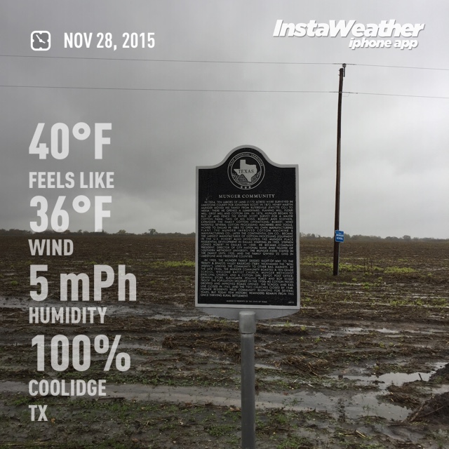
Munger Community visit
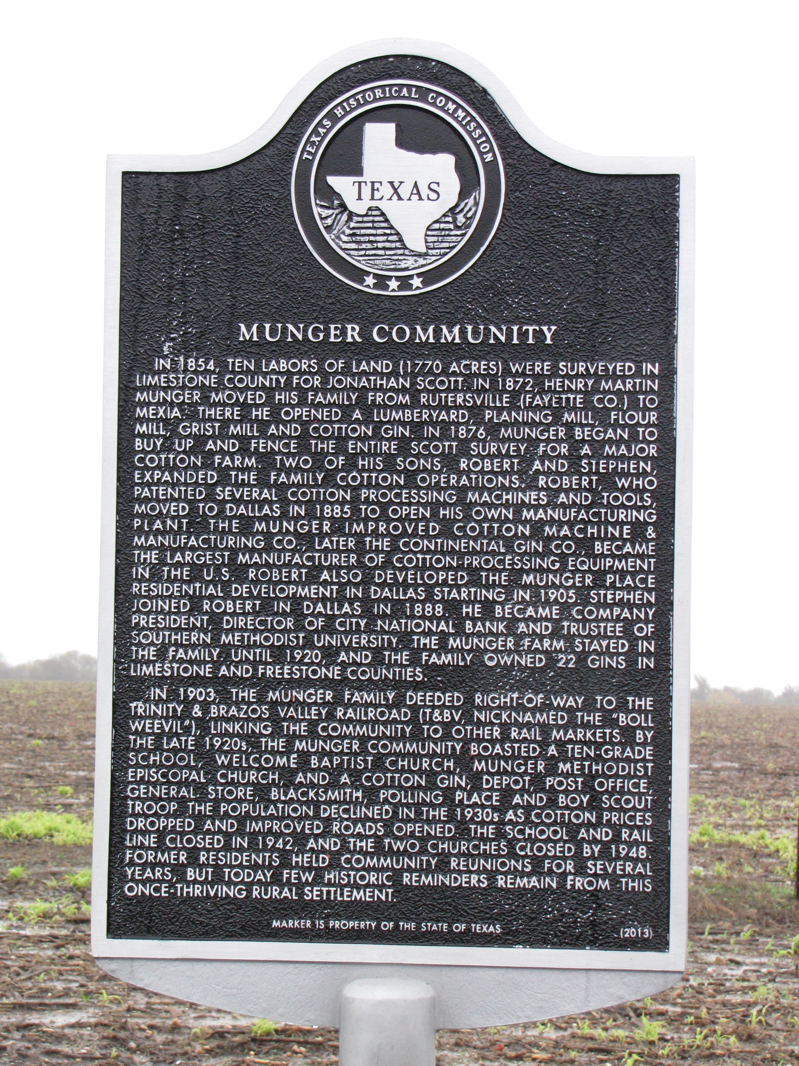
Munger Community TxHM
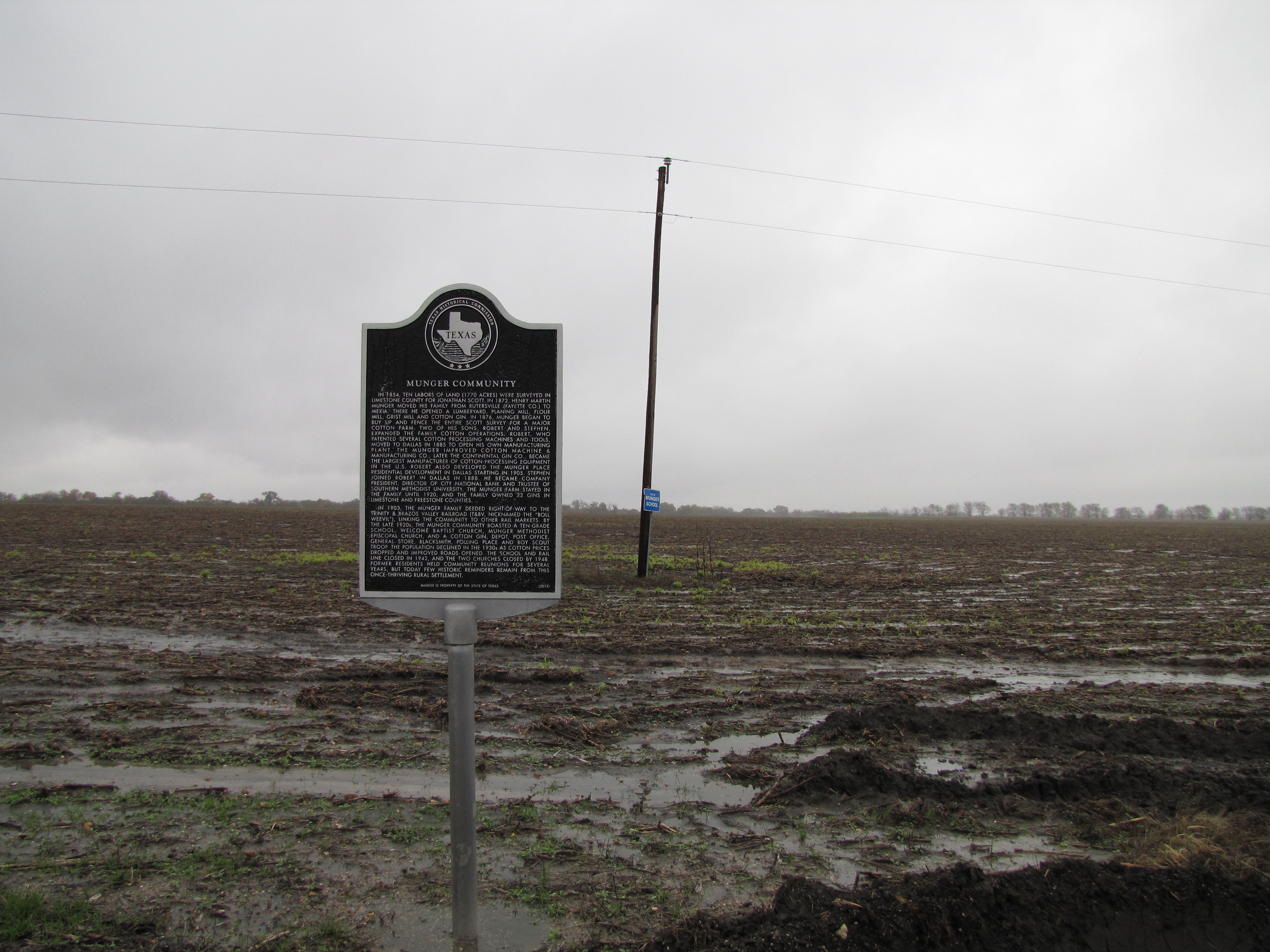
Munger Community marker context

Coolidge, Texas
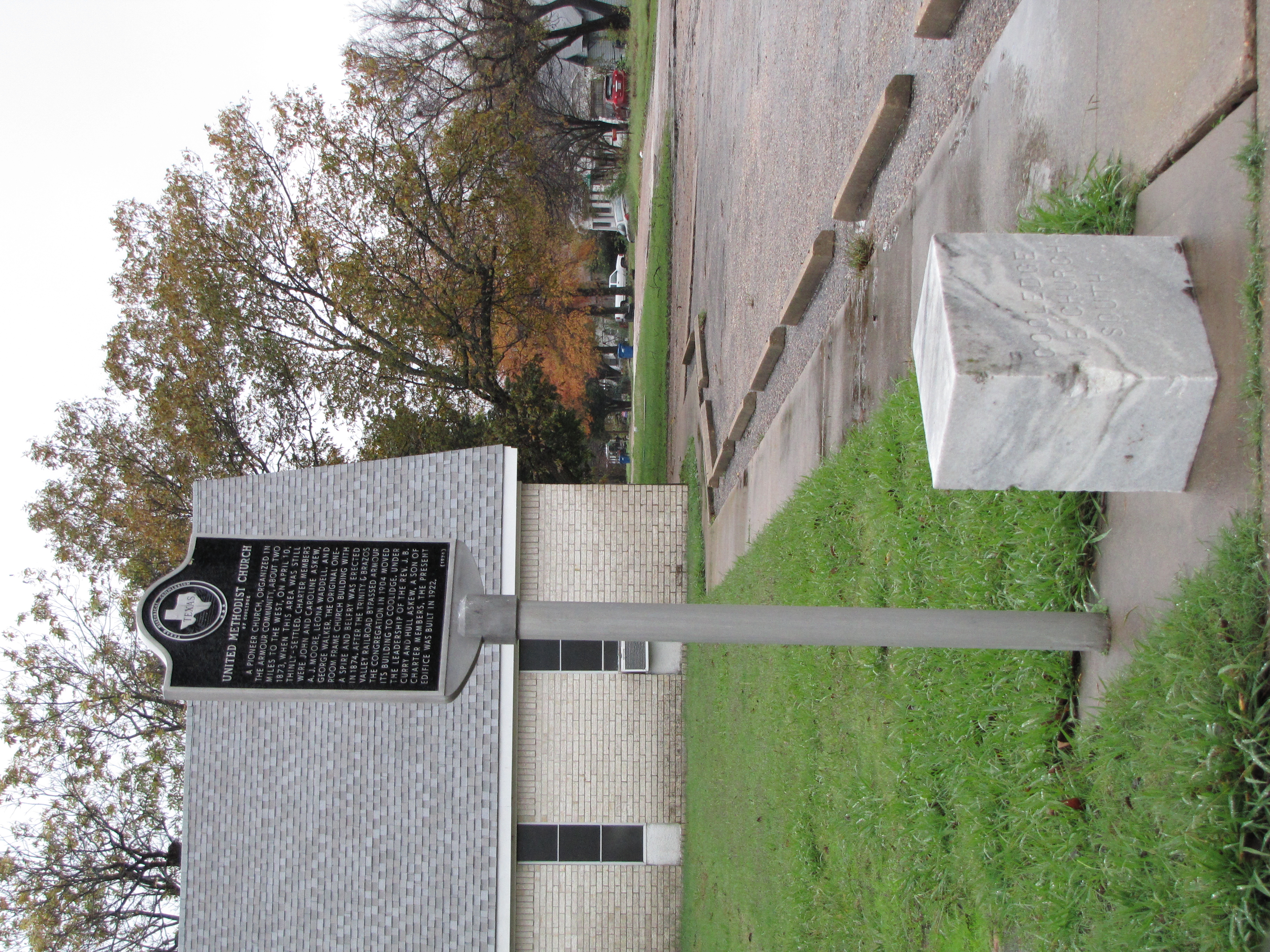
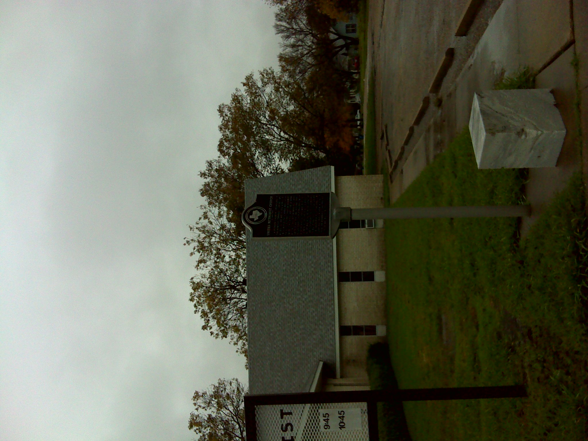
United Methodist Church of Coolidge marker and cornerstone
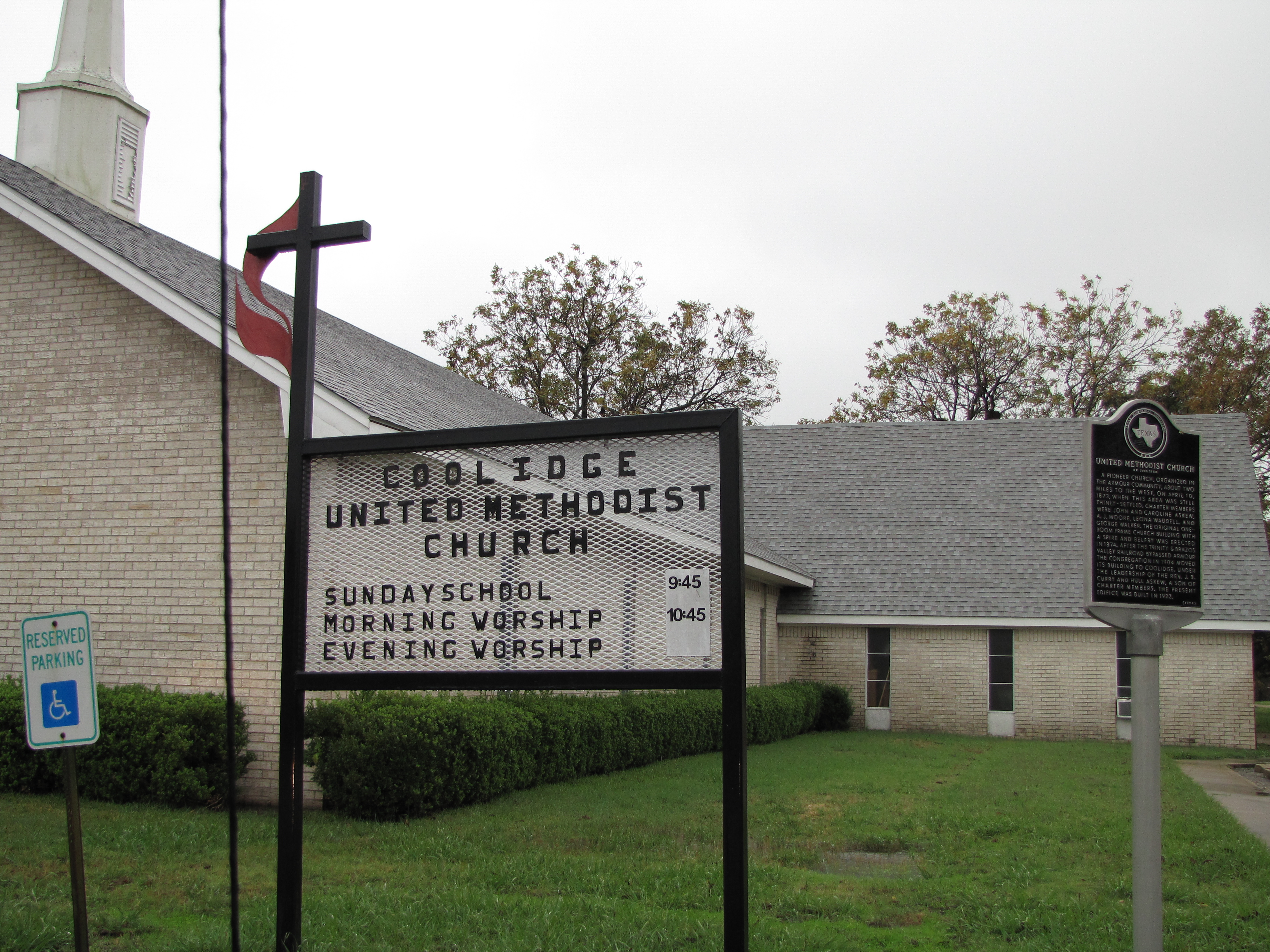
United Methodist Church of Coolidge
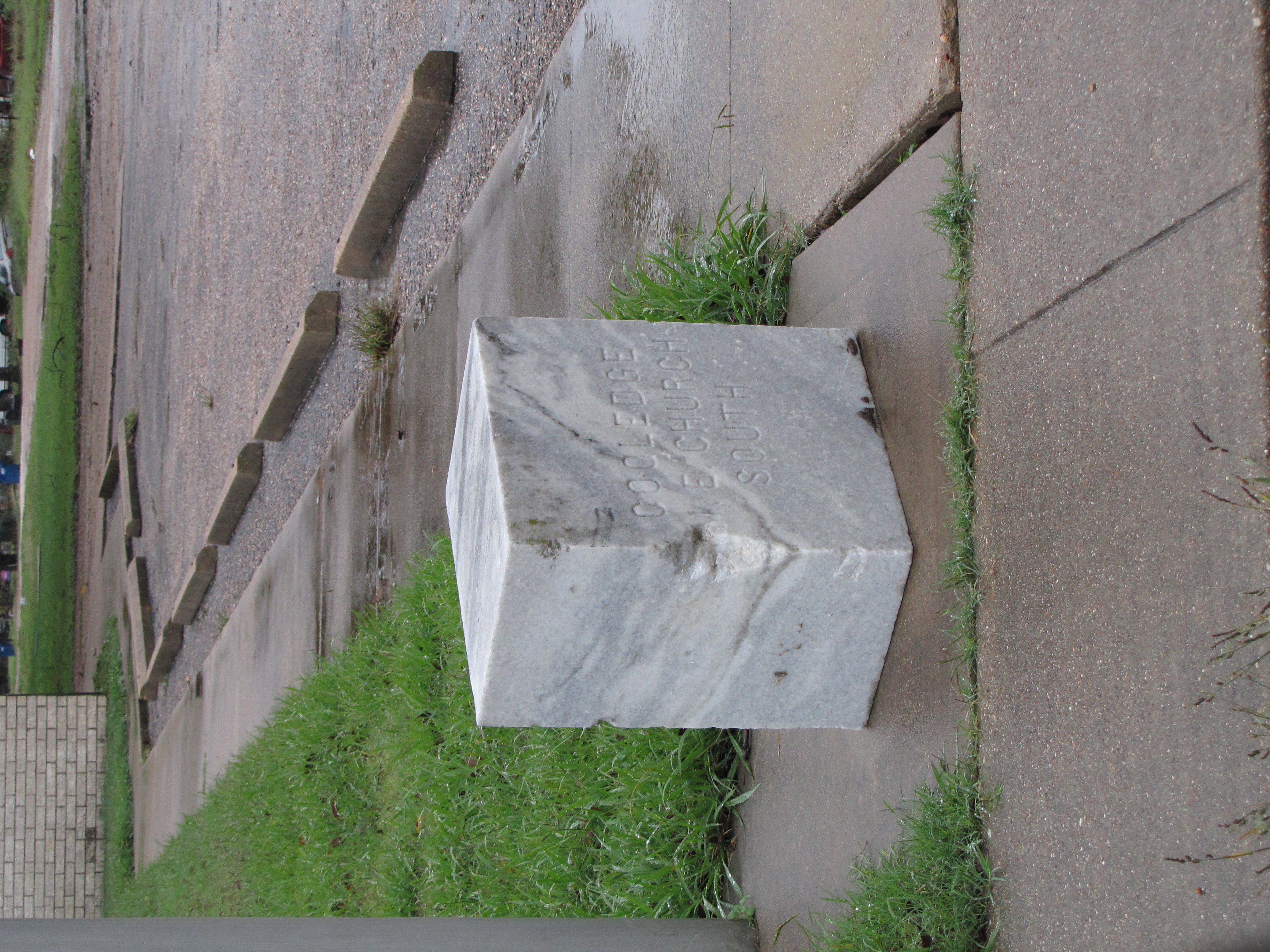
Old Cornerstone United Methodist Church of Coolidge
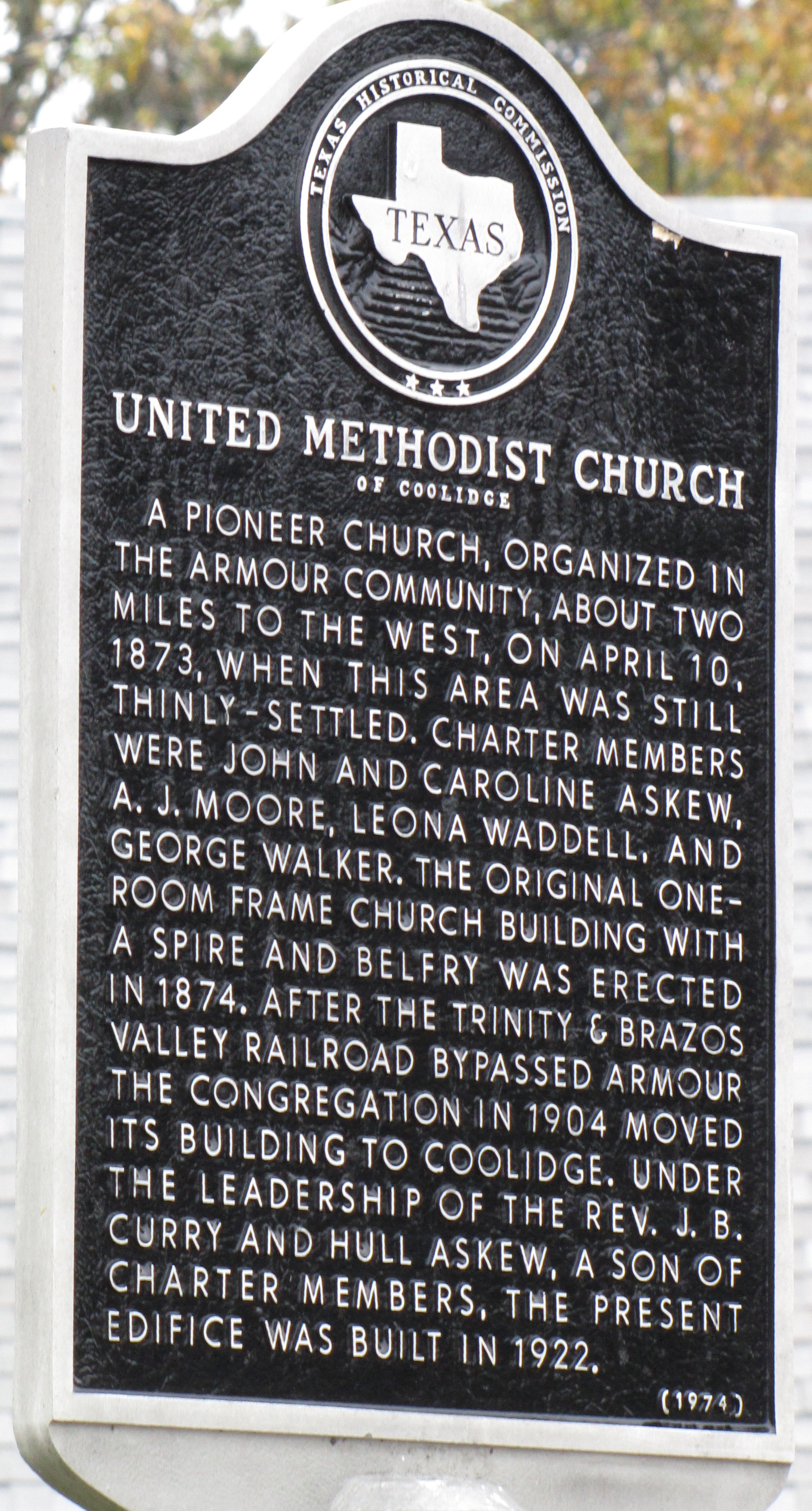
United Methodist Church of Coolidge TxHM
United Methodist Church of Coolidge location
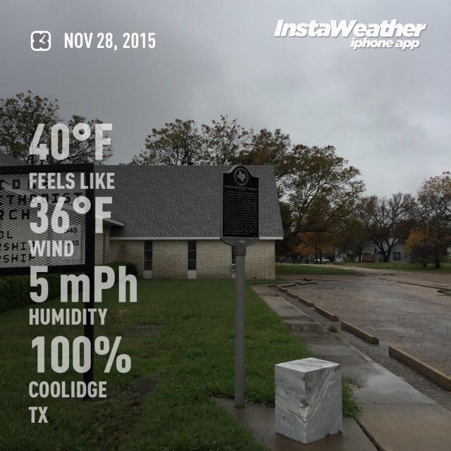
United Methodist Church of Coolidge visit
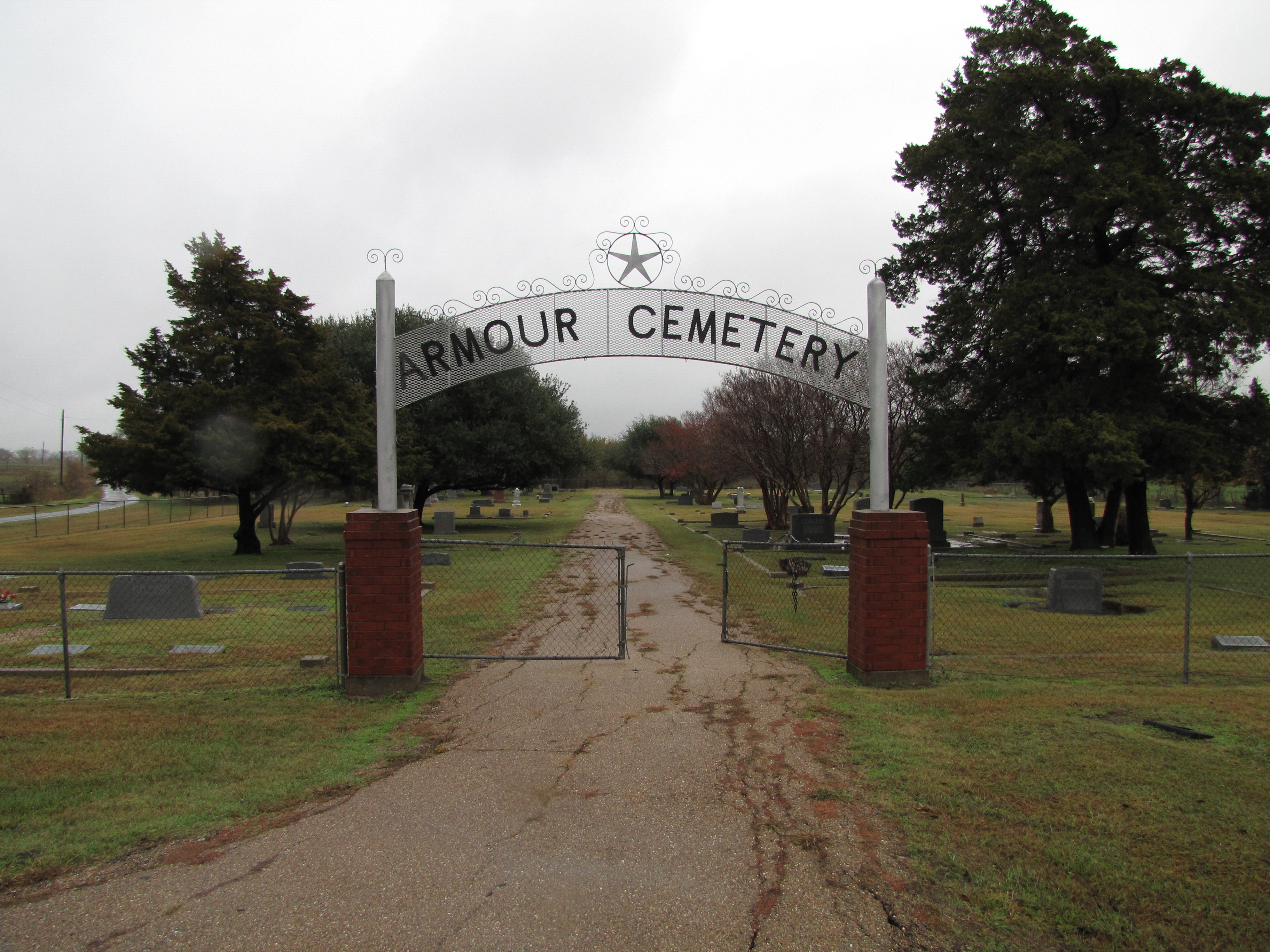
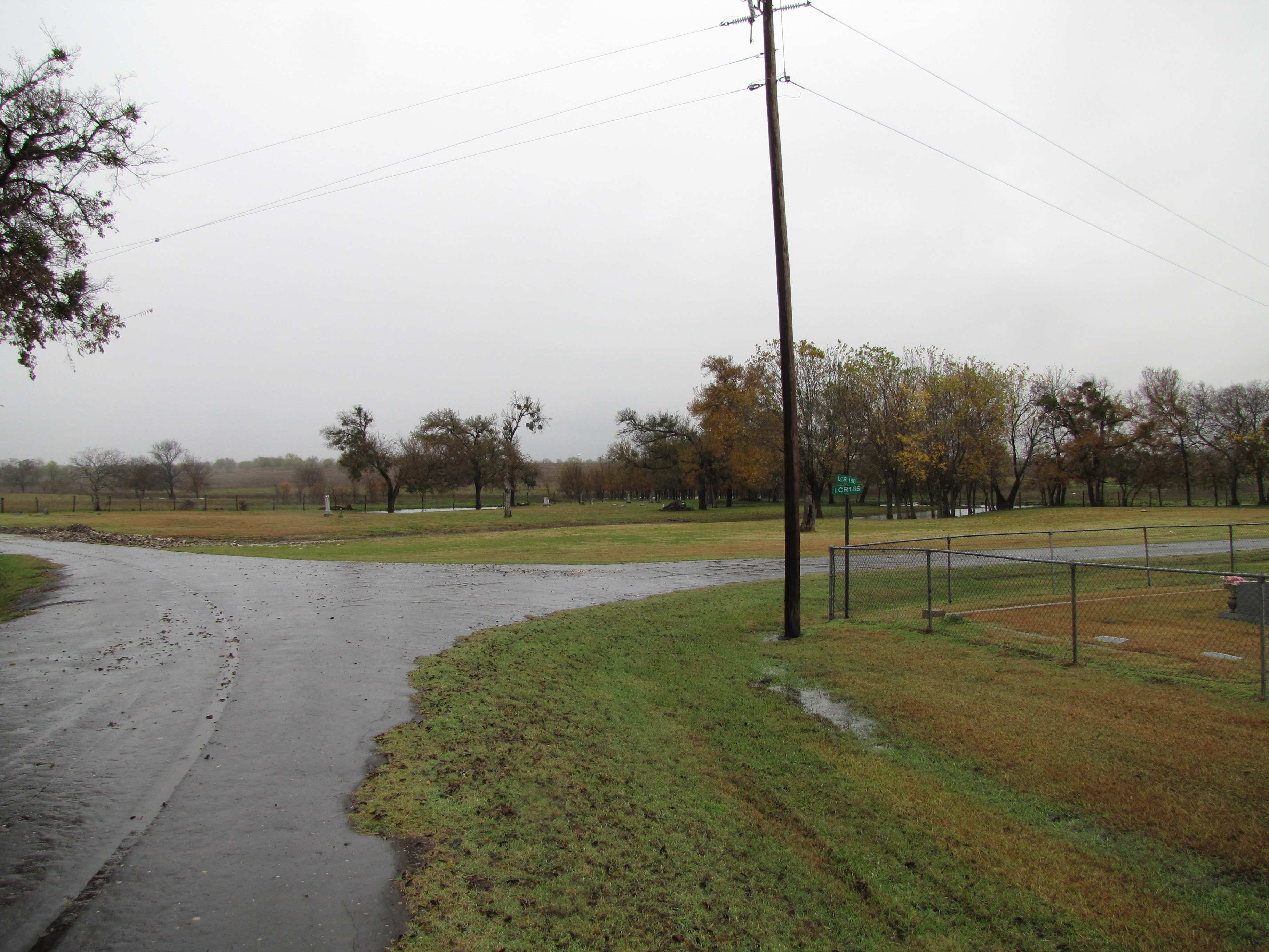
New Armour Cemetery
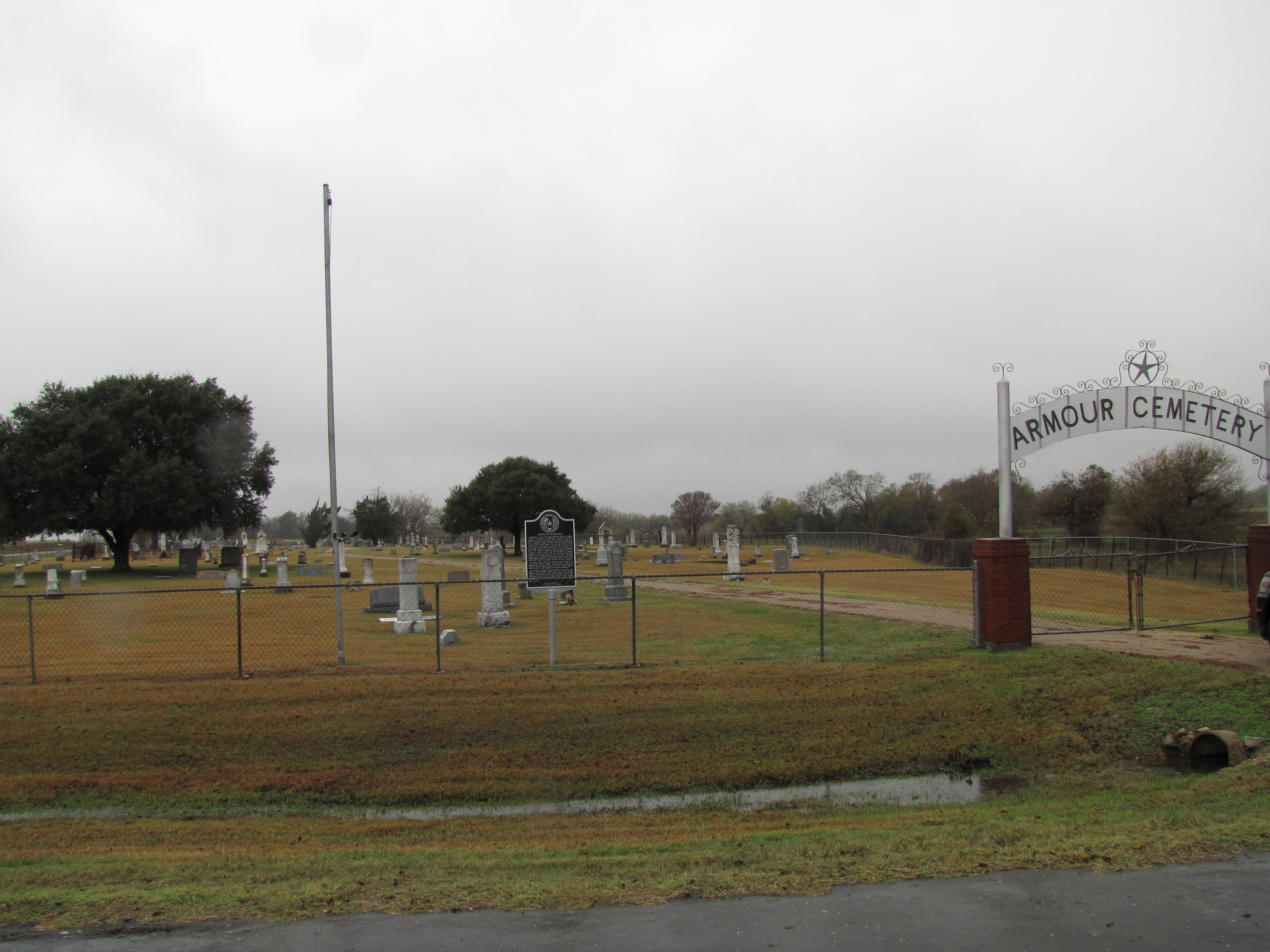
Armour Cemetery
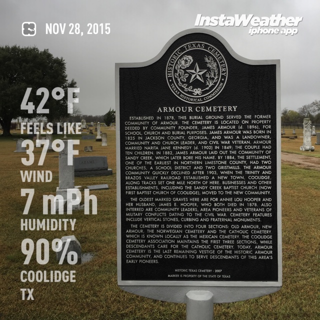
Armour Cemetery visit
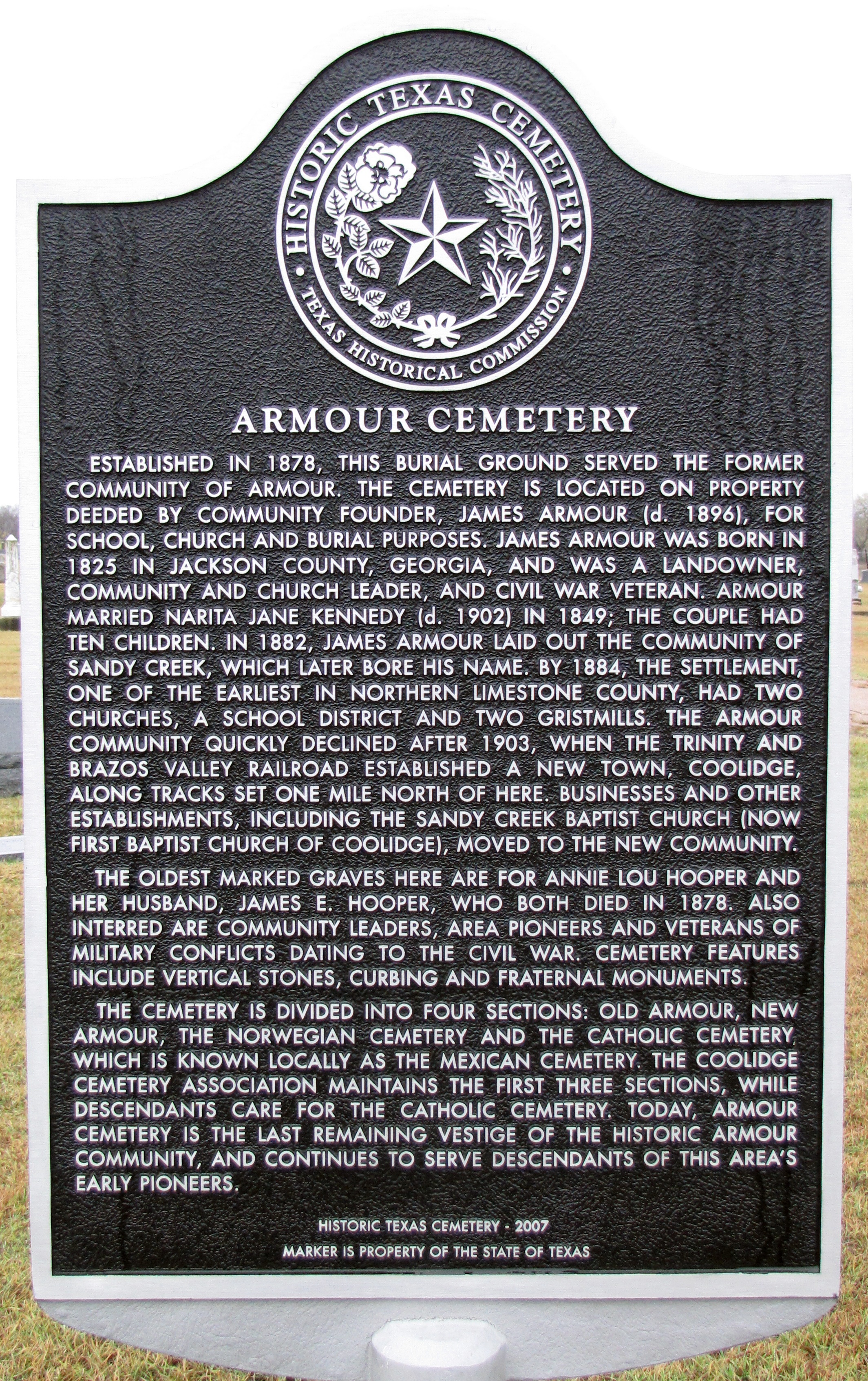
Armour Cemetery
Hill Cemetery
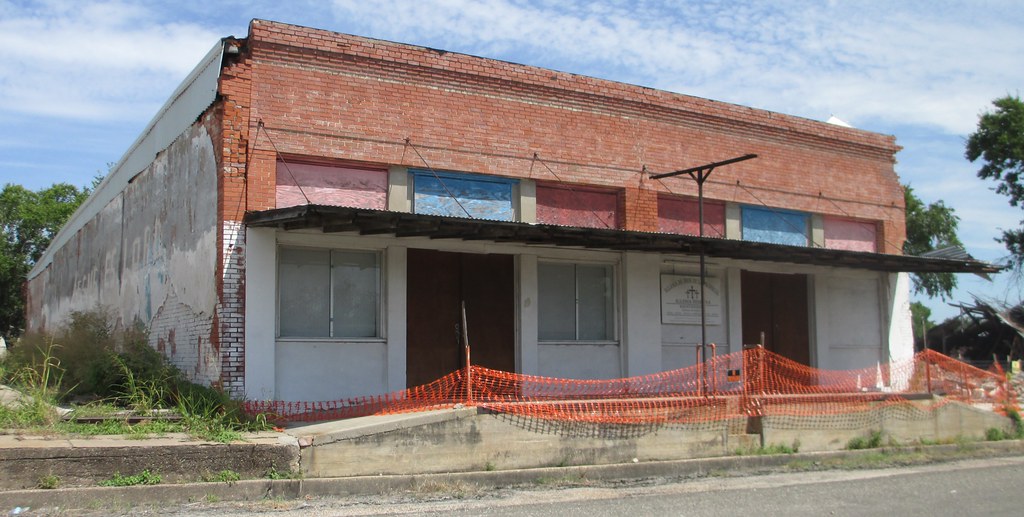
Storefront Building (Coolidge, Texas)

Post Office 76635 (Coolidge, Texas)

Bison grazing
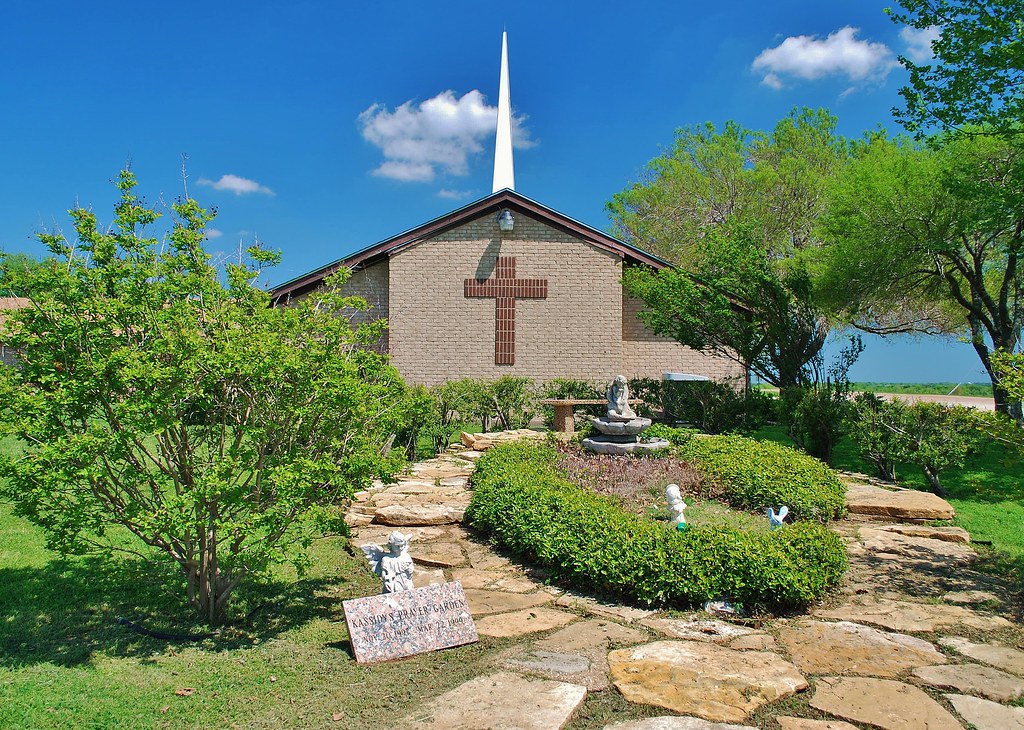
Baptist Church
Topographic Map of FM 73, Prairie Hill, TX, USA
Find elevation by address:

Places near FM 73, Prairie Hill, TX, USA:
Coolidge
Limestone County
Mount Calm
Allyn Ave, Mt Calm, TX, USA
Mart
314 W Burleson Ave
N Magnolia Ave, Hubbard, TX, USA
Hubbard
313 Fm 1838
531 Retreat Center Rd
Elk Rd, Axtell, TX, USA
Dawson
N 1st St, Dawson, TX, USA
County Road 148
Park Road 35, Groesbeck, TX, USA
Axtell
Lcr 402
955 Kirkland Hill Rd
Hall Dr, Waco, TX, USA
Penelope
Recent Searches:
- Elevation of Corso Fratelli Cairoli, 35, Macerata MC, Italy
- Elevation of Tallevast Rd, Sarasota, FL, USA
- Elevation of 4th St E, Sonoma, CA, USA
- Elevation of Black Hollow Rd, Pennsdale, PA, USA
- Elevation of Oakland Ave, Williamsport, PA, USA
- Elevation of Pedrógão Grande, Portugal
- Elevation of Klee Dr, Martinsburg, WV, USA
- Elevation of Via Roma, Pieranica CR, Italy
- Elevation of Tavkvetili Mountain, Georgia
- Elevation of Hartfords Bluff Cir, Mt Pleasant, SC, USA