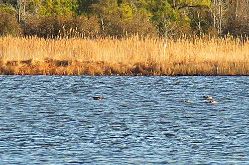
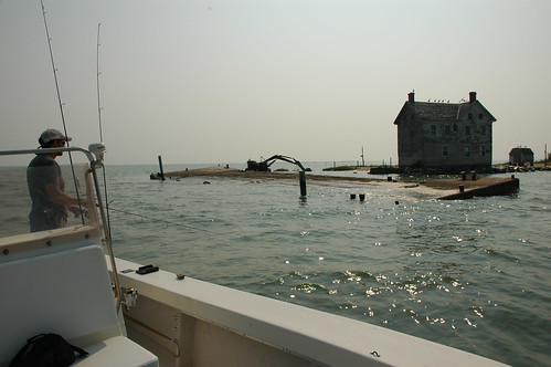
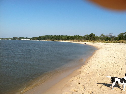
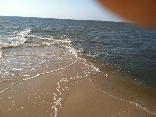
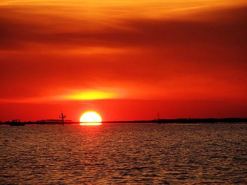
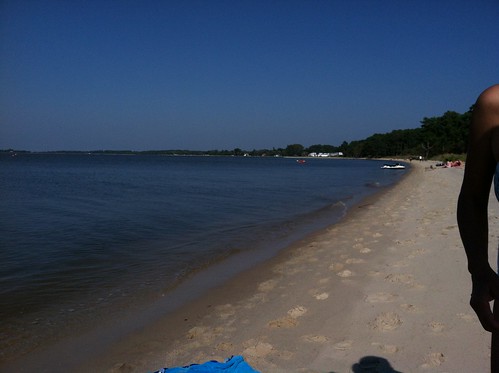
Elevation of Custom House Rd, Deal Island, MD, USA
Location: United States > Maryland > Somerset County > 14, Deal Island > Deal Island >
Longitude: -75.942689
Latitude: 38.140001
Elevation: 1m / 3feet
Barometric Pressure: 0KPa
Related Photos:
Topographic Map of Custom House Rd, Deal Island, MD, USA
Find elevation by address:

Places near Custom House Rd, Deal Island, MD, USA:
14, Deal Island
9782 Deal Island Rd
9940 Deal Island Rd
Deal Island
Chance
10577 Harrison Point Rd
Harrison Point Road
Harrison Point Road
Temple Road
9, Tangier
10, Straits
18, Elliott
Crocheron
Phillps Gunning Club Rd, Crocheron, MD, USA
Bishops Head Rd, Crocheron, MD, USA
10, Smith Island
Bishops Head Rd, Toddville, MD, USA
Caleb Jones Rd, Ewell, MD, USA
20771 Caleb Jones Rd
Ewell
Recent Searches:
- Elevation map of Greenland, Greenland
- Elevation of Sullivan Hill, New York, New York, 10002, USA
- Elevation of Morehead Road, Withrow Downs, Charlotte, Mecklenburg County, North Carolina, 28262, USA
- Elevation of 2800, Morehead Road, Withrow Downs, Charlotte, Mecklenburg County, North Carolina, 28262, USA
- Elevation of Yangbi Yi Autonomous County, Yunnan, China
- Elevation of Pingpo, Yangbi Yi Autonomous County, Yunnan, China
- Elevation of Mount Malong, Pingpo, Yangbi Yi Autonomous County, Yunnan, China
- Elevation map of Yongping County, Yunnan, China
- Elevation of North 8th Street, Palatka, Putnam County, Florida, 32177, USA
- Elevation of 107, Big Apple Road, East Palatka, Putnam County, Florida, 32131, USA
- Elevation of Jiezi, Chongzhou City, Sichuan, China
- Elevation of Chongzhou City, Sichuan, China
- Elevation of Huaiyuan, Chongzhou City, Sichuan, China
- Elevation of Qingxia, Chengdu, Sichuan, China
- Elevation of Corso Fratelli Cairoli, 35, Macerata MC, Italy
- Elevation of Tallevast Rd, Sarasota, FL, USA
- Elevation of 4th St E, Sonoma, CA, USA
- Elevation of Black Hollow Rd, Pennsdale, PA, USA
- Elevation of Oakland Ave, Williamsport, PA, USA
- Elevation of Pedrógão Grande, Portugal
